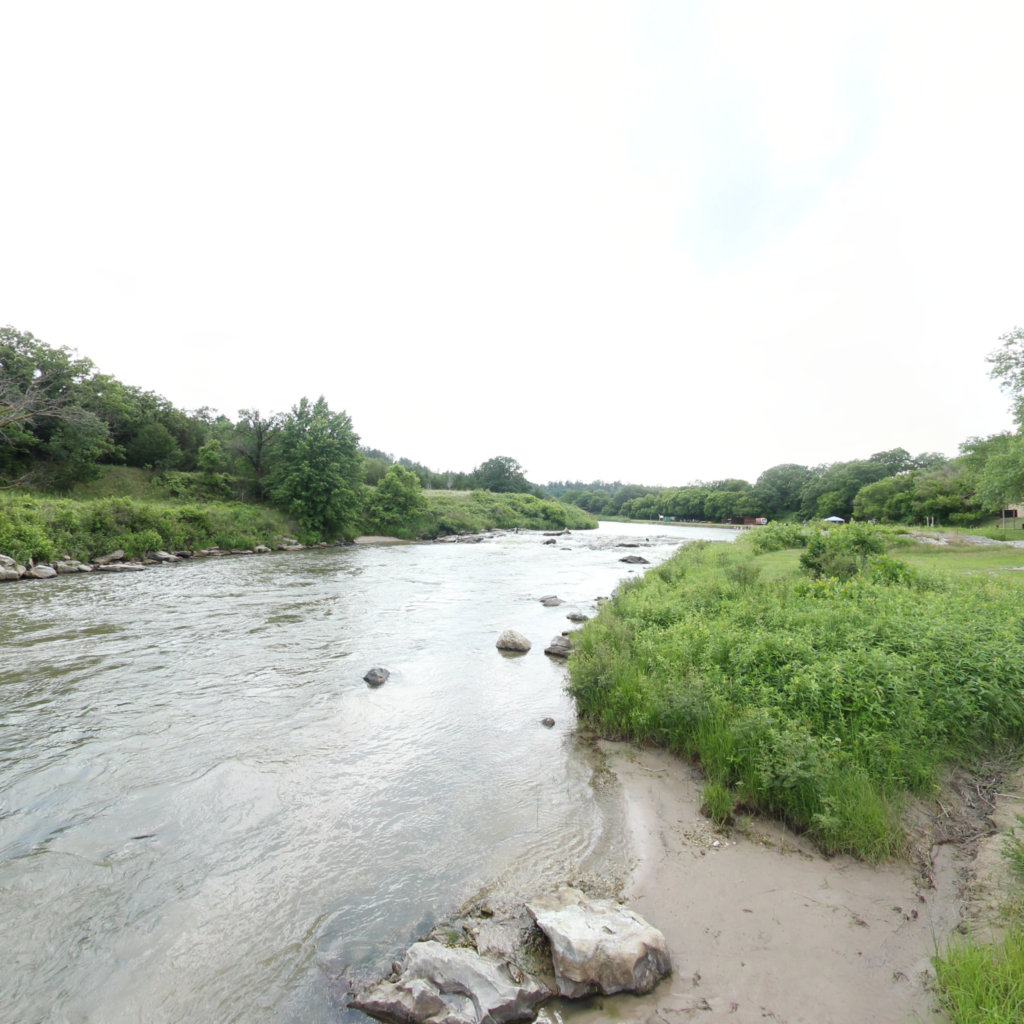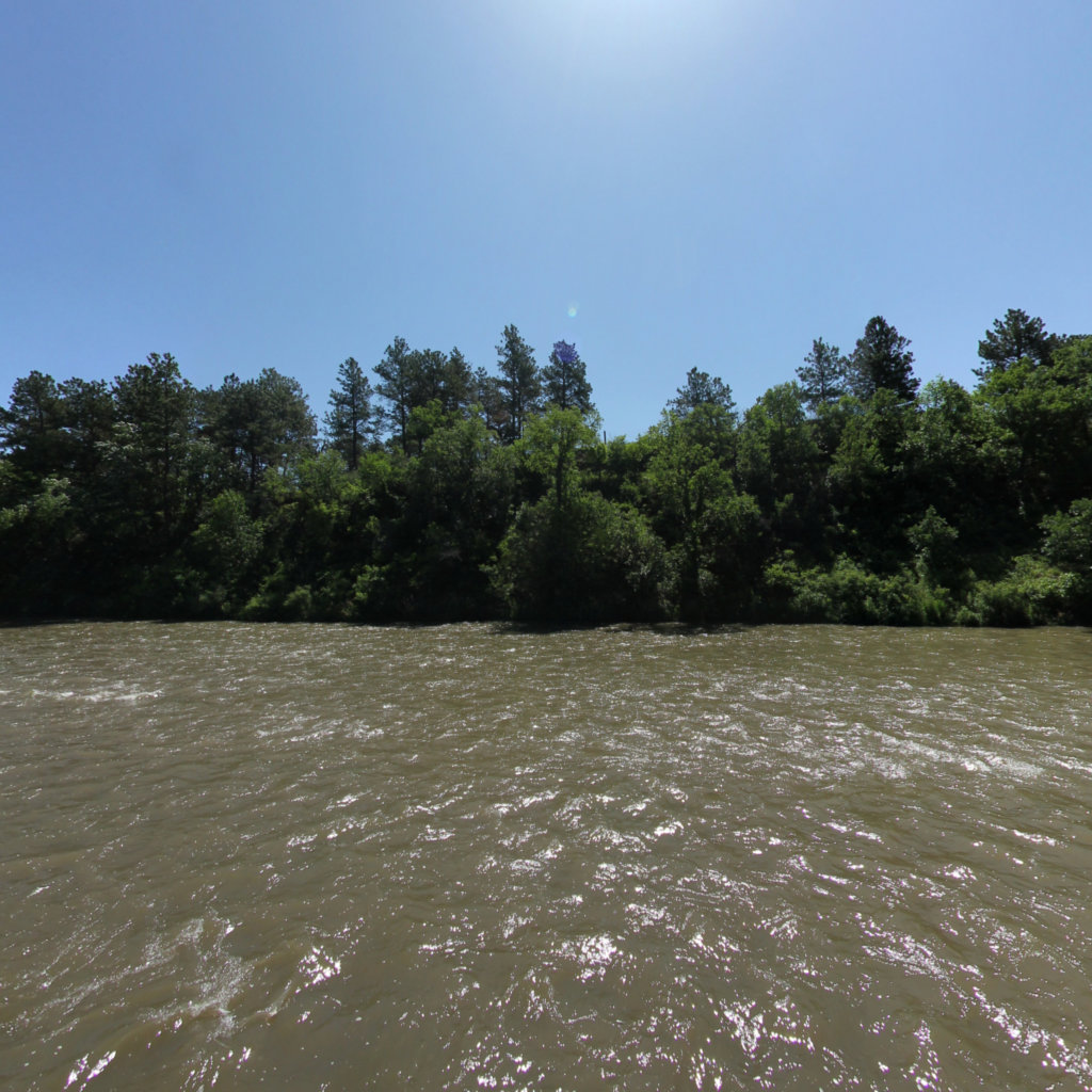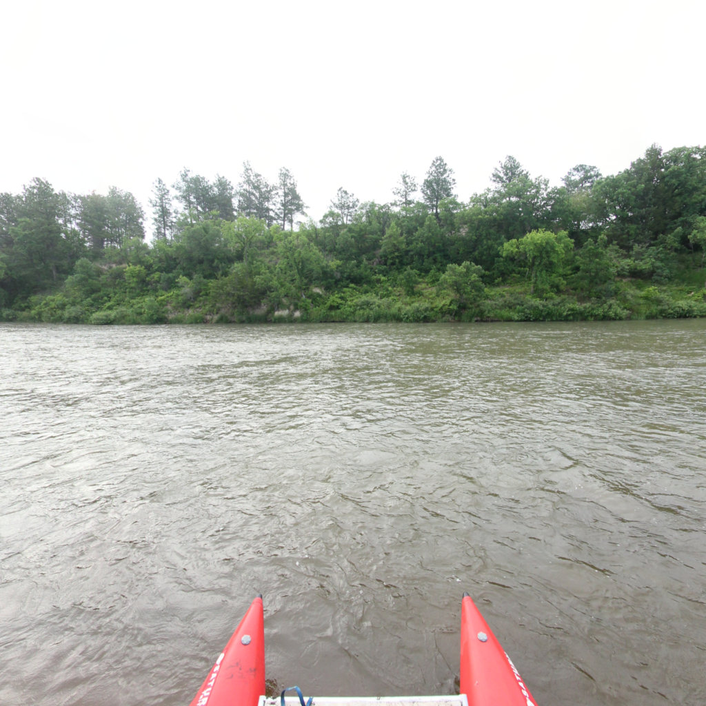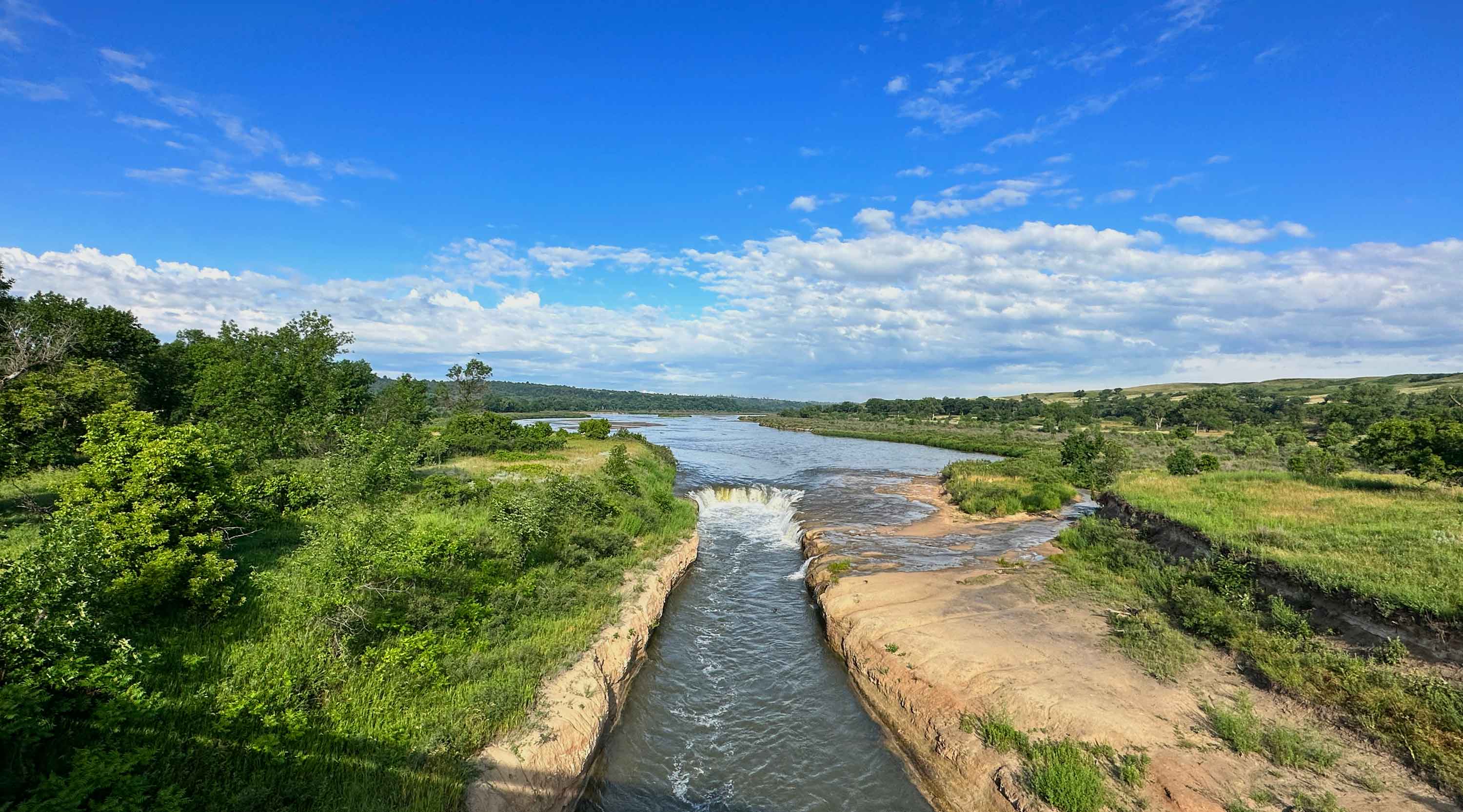
Niobrara River
A nationally designated scenic river
Project Partners
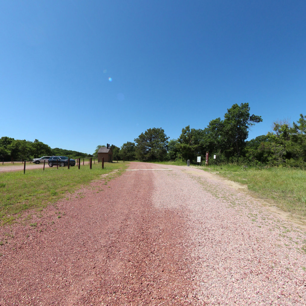
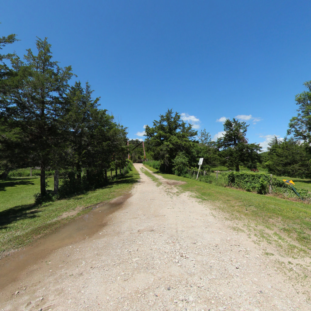
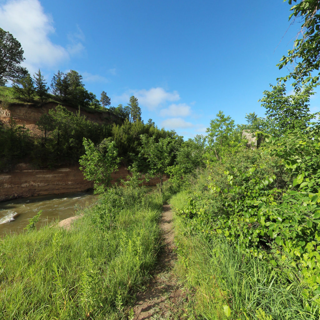
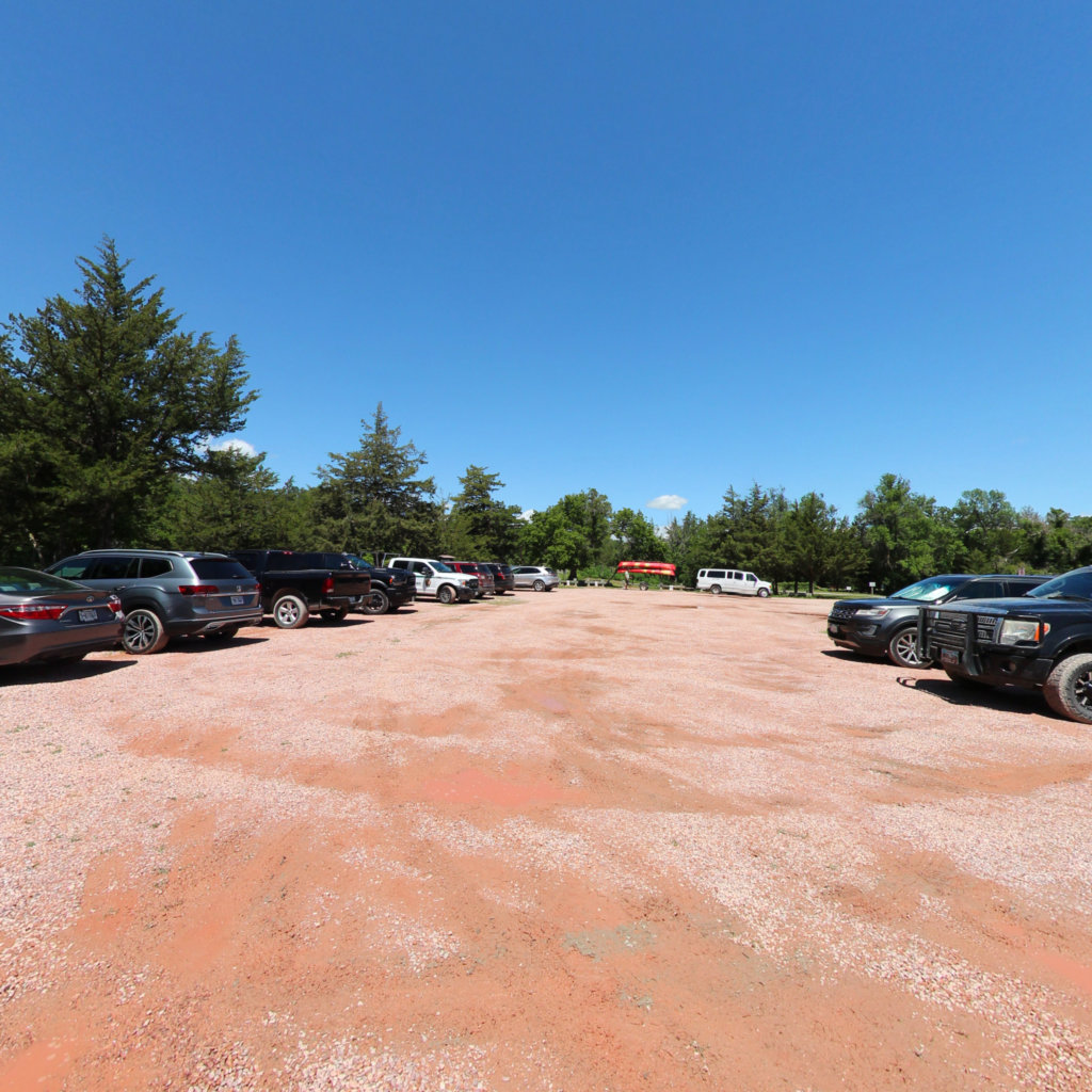
Terrain360 collaborated with the National Park Service on a project to map the Niobrara National Scenic River using 360° imagery. This project aimed to provide an immersive virtual experience of the river, known for its diverse ecosystems and scenic beauty. The detailed mapping effort enhances public access and awareness, allowing for a comprehensive digital exploration of this unique natural area.
Click on any line in the map to explore the location in street view.
At Terrain360™, our website's dark mode design enhances the user experience on mobile devices, laptops, and tablets, while also aiding in battery conservation and reducing carbon footprint. This is especially beneficial for devices with OLED and AMOLED screens, which are common in modern technology and more energy-efficient when displaying darker colors.