Modern Stories from the Anza Trail - Sonoran Desert National Monument, AZ
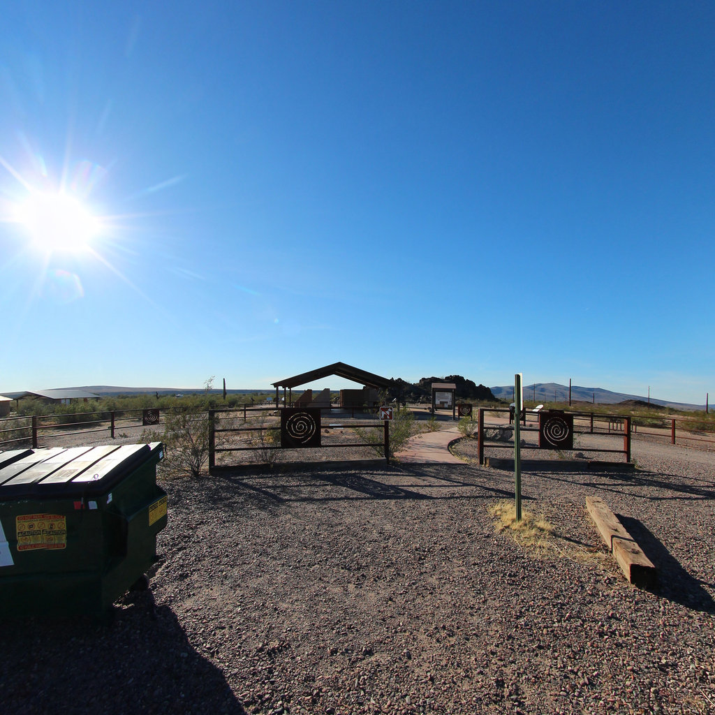
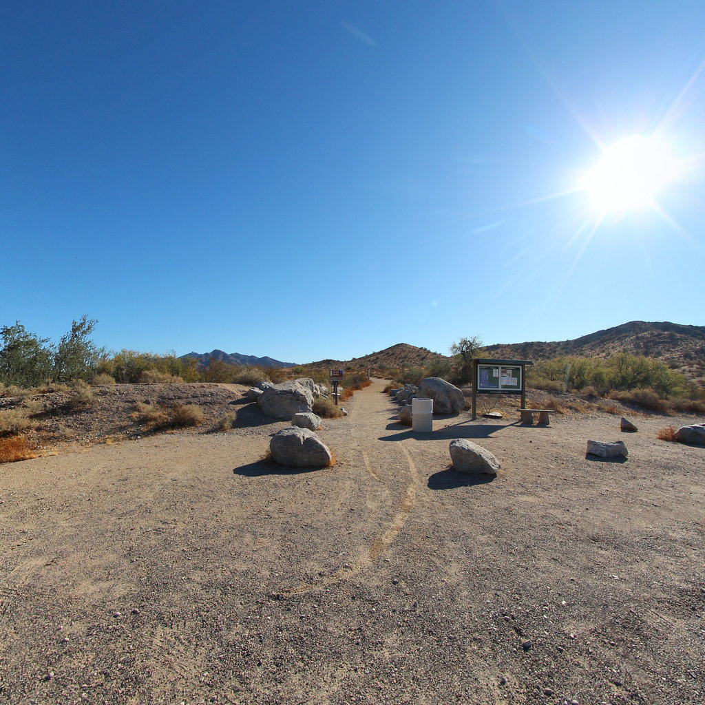
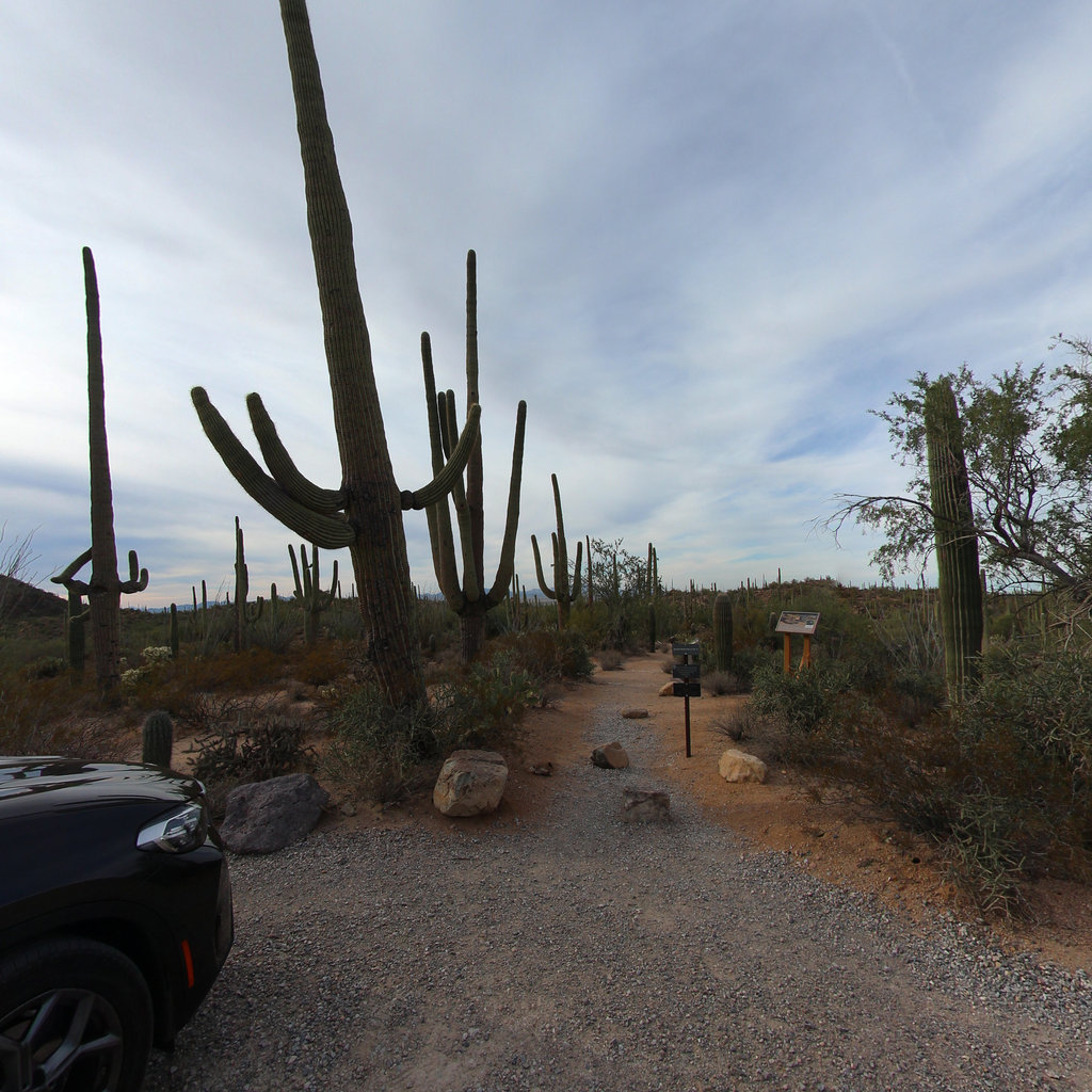
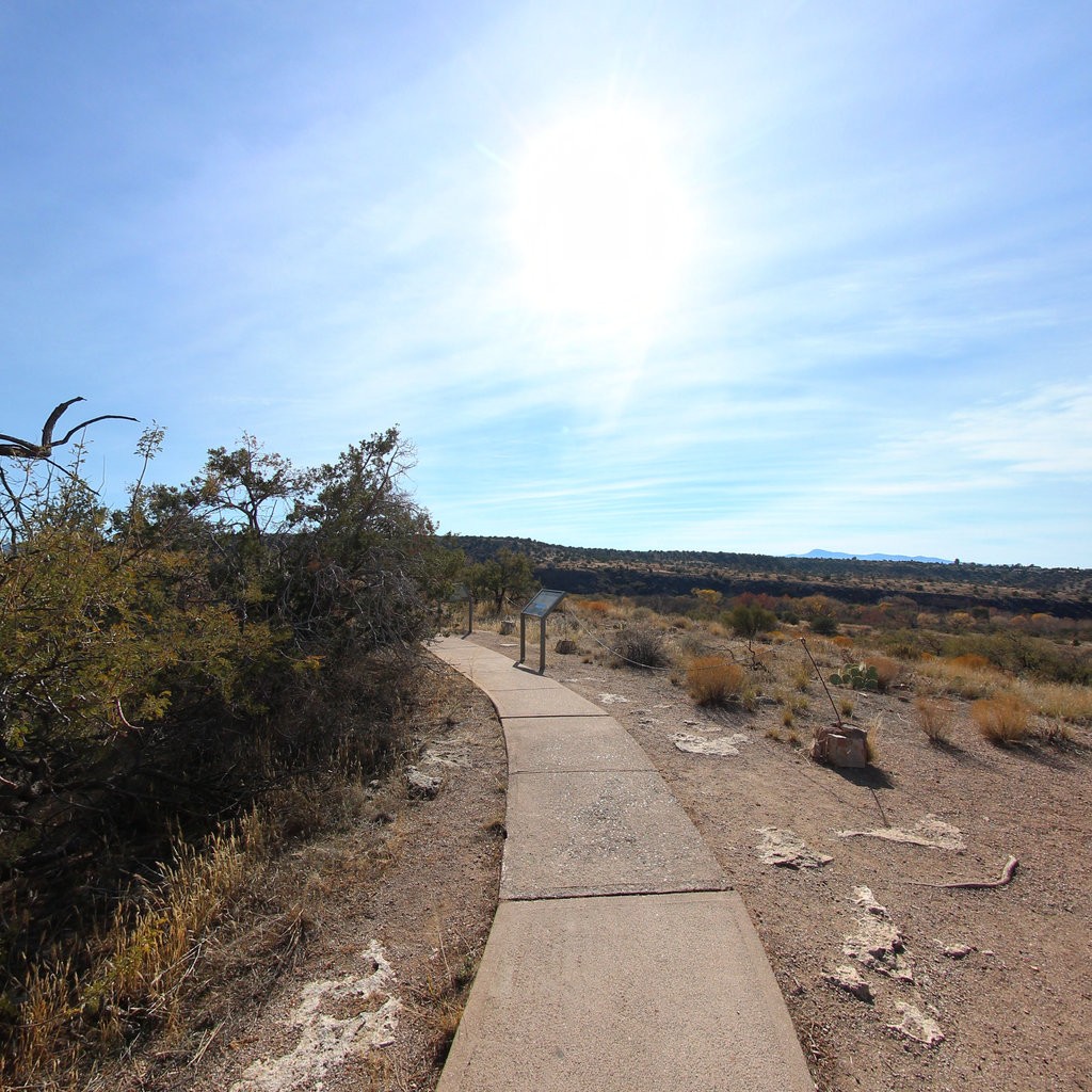
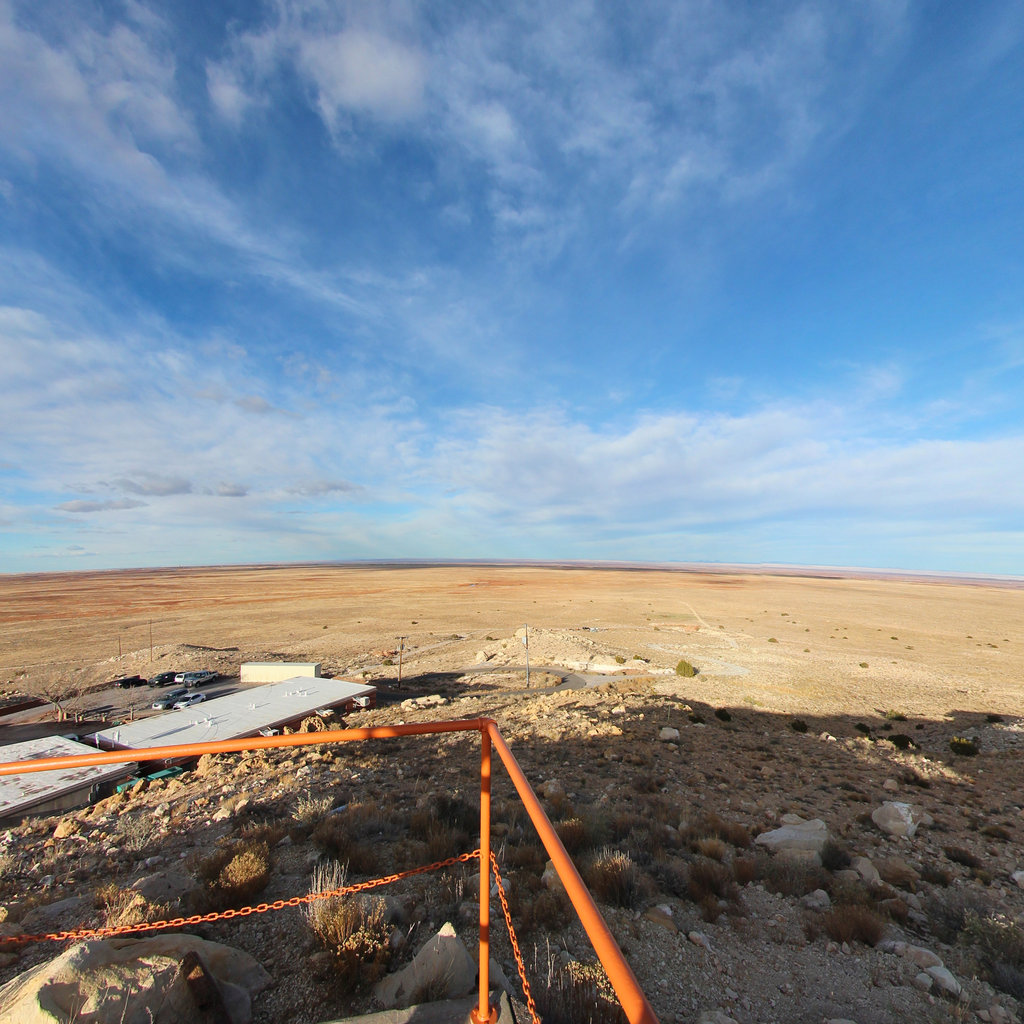
Sonoran Desert National Monument
Leaving Tucson behind at camp 20, the expedition turned northwest through the passes of the Silverbell Mountains and descended into the flat, creosote-covered basins that stretch toward the Gila River. The landmark of Picacho Peak — called Tacca by the O'odham and rising 1,500 feet from the desert floor — served as a natural waypoint that travelers had used for centuries. Near the Casa Grande area the column entered the agricultural heartland of the Akimel O'odham, the River People, whose prosperous farming communities lined the Gila River banks with cottonwood groves, irrigated fields, and granaries full of corn, beans, and squash.
At the great Pima village of San Simon y Judas de Uparsoytac, more than 1,000 inhabitants welcomed the expedition with dancing that moved from tent to tent through the encampment. Anza distributed beads and tobacco; Font and Anza made a side trip to marvel at the ancient Hohokam great house at Casa Grande, which Font described as 'perfectly oriented to the four cardinal points.' But the march was not without hardship. At Laguna del Hospital, brackish water sickened the livestock and medical emergencies forced a three-day halt from November 3 to 6, 1775, while soldiers' wives endured difficult births and animals collapsed from alkaline poisoning.
The column pushed westward along the Gila through ever more desolate terrain. At Agua Caliente, natural hot springs provided comfort for the weary settlers; at Cerro de San Pascual, commander Anza himself assisted at a 2 AM delivery when Diego Pascual Gutierrez was born in the open desert. Cold spells killed six animals during that halt. By late November, Chief Palma of the Quechan arrived at Los Cerritos with more than 30 followers, embracing Anza warmly and offering his full cooperation for the river crossing ahead. The reunion was pivotal: without Palma's friendship, the Colorado River might have become an impassable barrier rather than the gateway to California.