
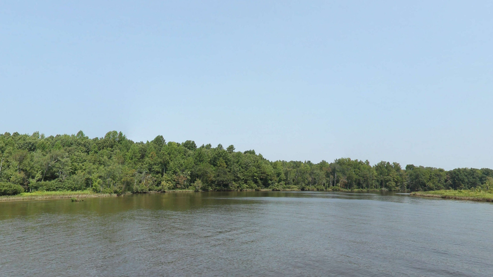
Appomattox River
Rivers and waterways · catalog ID COL-3215
Build an exact selection from the existing archive, with the formats and rights your project needs.
Explore recorded coverage
Loading the coverage map…
Shaded cells locate recorded imagery at about 110 m scale. They do not indicate continuous capture, surveyed boundaries or current access.
Shape this collection around your project
1–10 highlights; defined corridor snapshot; reviewed access sites; optional RAPG annotations
A selection from the existing archive. Exact scene membership, geographic boundaries, formats and quality are confirmed in the quote. Historical imagery does not establish current access or conditions.
- Capture period
- 2012-10-05 – 2020-10-23
- Coverage states
- VA
- Candidate source records
- 1,912
- Source sections
- 12
Inventory checked 2026-09-15. State coverage uses individual recorded scene positions and 2025 Census boundaries. Counts describe source records; imagery, coordinate accuracy and license scope are reviewed for delivery. A river title does not promise every access site or the entire waterway.
Included source sections
Each row is an indexed source section. Several sections can belong to one trail or waterway.
- Channel Is.12 candidate scenes · t360:trail:3478
- Harvell Dam to James River765 candidate scenes · t360:trail:3476
- Hopewell Riverwalk77 candidate scenes · t360:trail:4283
- Loop End Trail26 candidate scenes · t360:trail:2008
- Old North Channel67 candidate scenes · t360:trail:3481
- Point of Rocks Boardwalk60 candidate scenes · t360:trail:2168
- Point of Rocks trail40 candidate scenes · t360:trail:2166
- Pye Alley36 candidate scenes · t360:trail:3475
- Right Channel226 candidate scenes · t360:trail:3480
- Riverside Trail40 candidate scenes · t360:trail:2230
- Rosemary Lane41 candidate scenes · t360:trail:3479
- Roslyn Landing to Old Town Petersburg522 candidate scenes · t360:trail:4678
When was this collection captured?
Filter the scenes of Appomattox River by their own recorded capture month and year, see where they are, then open any scene to inspect its views and its record.
Counts come from the live scene index and include public sections only. A month or year filter reads each scene's own capture date.
Loading the capture index…
Sections with matching captures
Field coverage for this selection
| Field or layer | Kind | Scenes | Coverage |
|---|