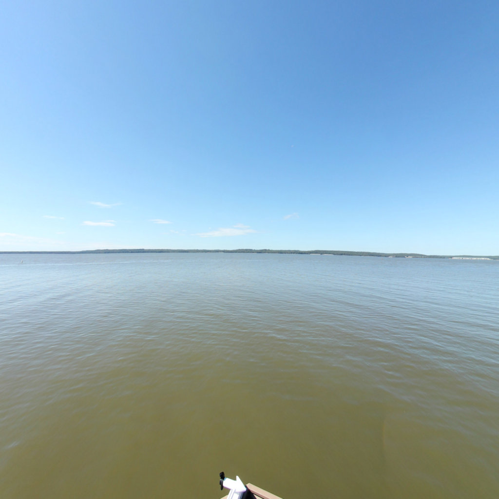
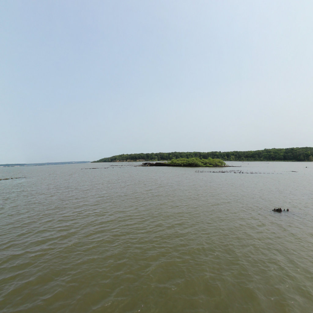
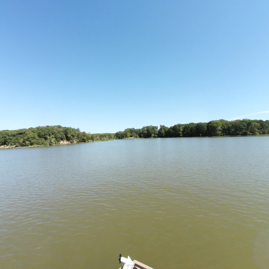
Accomac Aerial
Mallows Bay-Potomac River
2026 Terrain360™
Share
Map Rotation
iNaturalist Observations
Dahlgren, VA
NOAA Tide Data
Now
When Captured
Tide Level
0.67
ft
Tide Level
--
ft
--
Accomac Aerial
Home
About
Features
Contact
Nearby trails
Accomac Aerial
Accomac Aerial
Copy Page Link
Embed this Trail into any Website
Copy and Paste this code anywhere on your website:
Map
Graph
<iframe src="https://www.terrain360.com/trail/accomac-aerial/embed" style="width:100%; height:auto; aspect-ratio: 3 / 2;" scrolling="no" allowfullscreen="false" allow="accelerometer; encrypted-media; gyroscope;" frameborder="0" loading="lazy"> </iframe>
Accomac Aerial
Analyzing scene...
AI is analyzing this scene...
Accomac Aerial
N
1.0x
--°
-- mph
--
AD
Share This View
Embed Code
AI Scene Analysis
ft
,
--
0%
2026 Terrain360™
Observation Details
View on iNaturalist
Image Gallery
Previous
Next
Nearby Trails
Accomac - High tide
Nanjemoy, MD
0.3 km
temp bouy
Nanjemoy, MD
3.3 km
Mallows Bay - High tide shoreline
Nanjemoy, MD
2.5 km
The Accomac
Nanjemoy, MD
0.3 km
Shoreline
Nanjemoy, MD
0.5 km
Mallows Bay to Nanjemoy Creek
Nanjemoy, MD
25.4 km