Explore
Custom Maps
Features
About
More Info
Share
Contact
Loading Map...
Loading Trails...
Loading 360° Scenes...
Loading 360° Drone Imagery...
Loading 360° Details...
Mallows Bay-Potomac River
National Marine Sanctuary
Counties
Parcels
Trails
×
N
8
Highlights
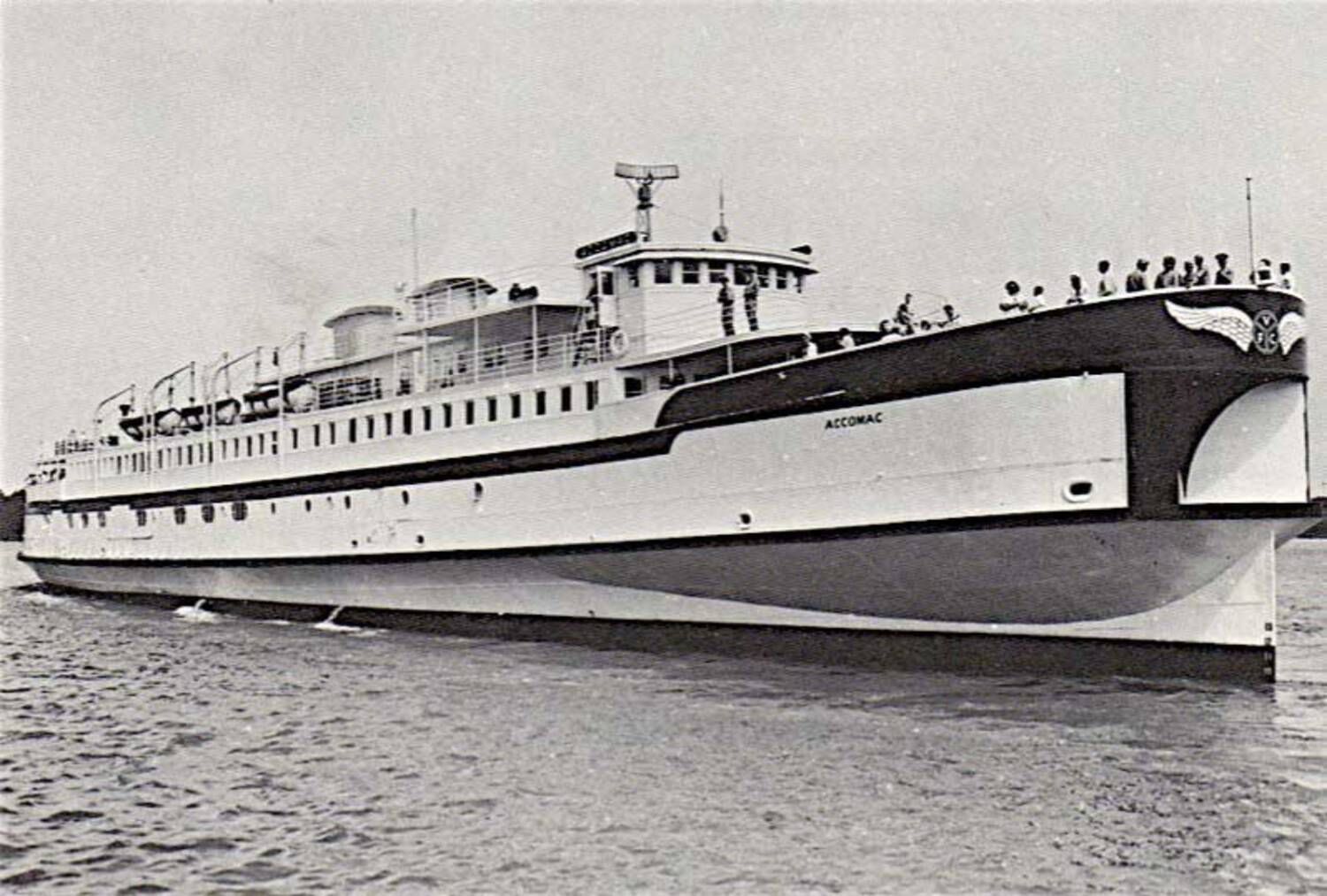
S.S. Accomac - High tide
Scene #35
View Scene
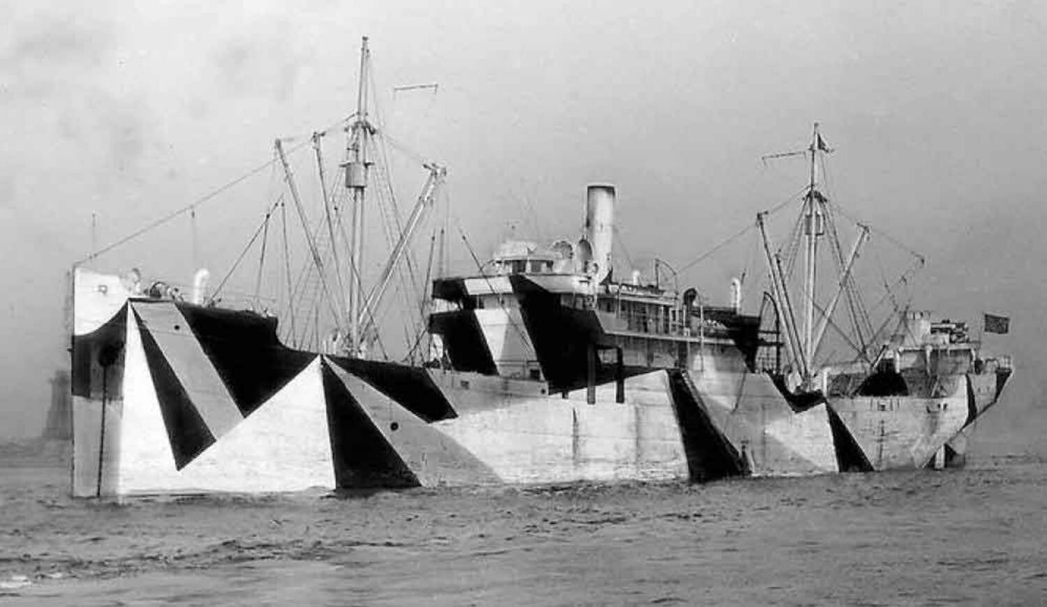
S.S. Afrania
Scene #182
View Scene
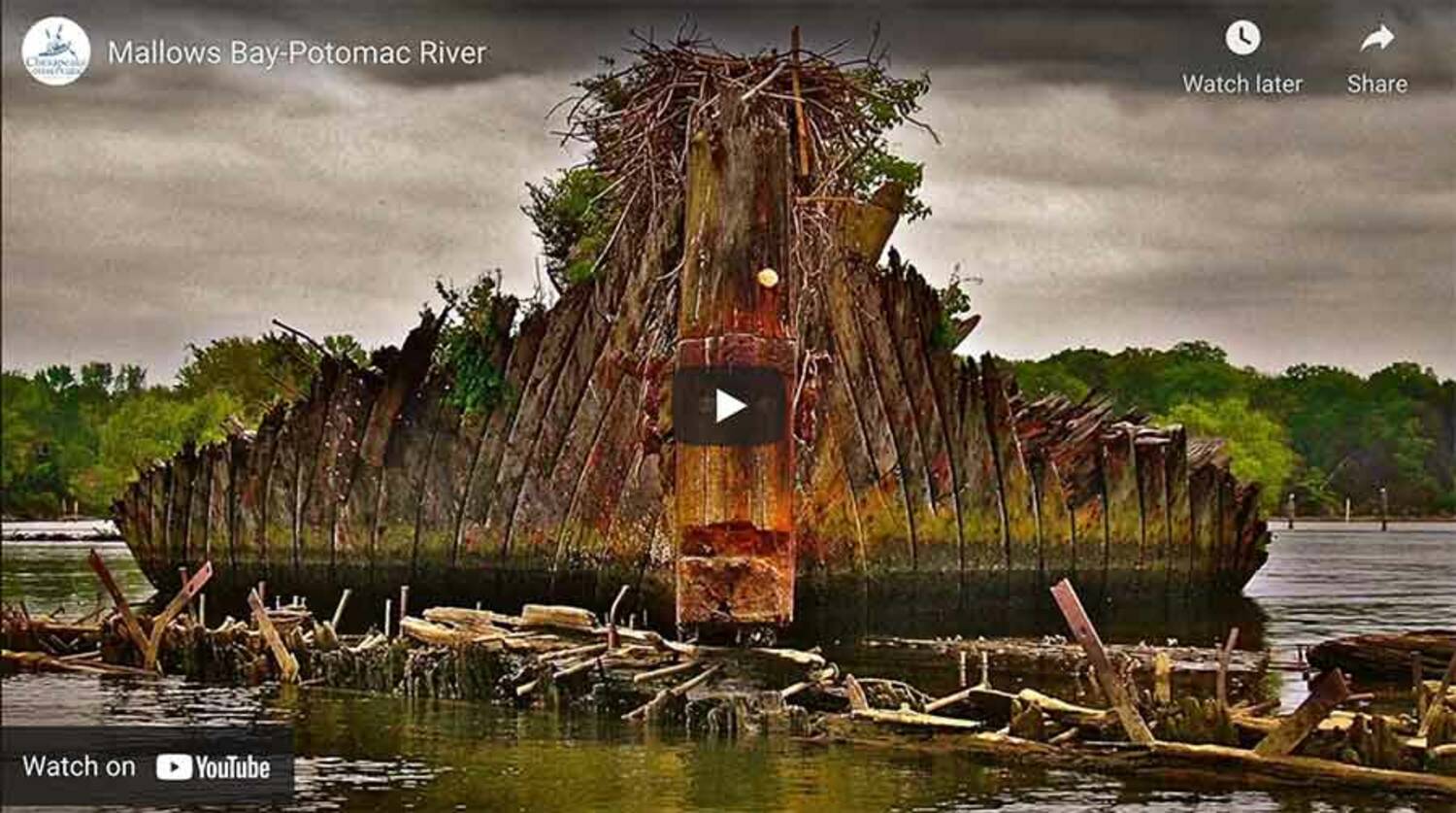
Mallows Bay - High Tide
Scene #160
View Scene
Yawah
Scene #30
View Scene
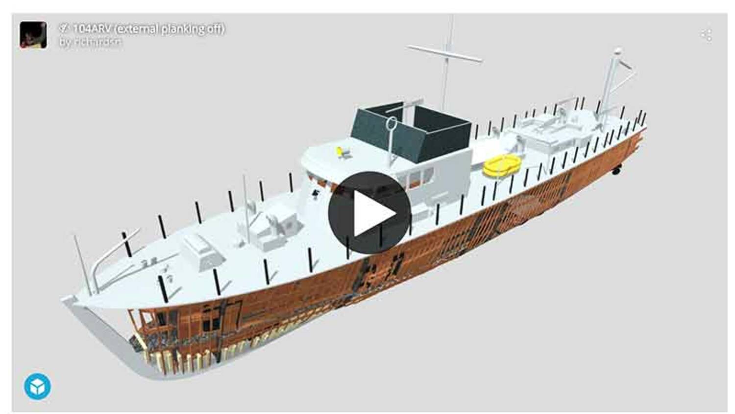
Sea Scout 3D Model
Scene #28
View Scene
Chesapeake Conservancy Video
Scene #168
View Scene
Casmalia
Scene #47
View Scene
Yawah
Scene #53
View Scene
×
Share The Mallows Bay-Potomac River
Page Link/URL
Embed Code
<iframe src="https://www.terrain360.com/map/mallows-bay-potomac-river/embed" style="width:100%; height:auto; aspect-ratio: 3 / 2;" scrolling="no" allowfullscreen="false" frameborder="0"></iframe>
2026 Terrain360™