Mallows Bay-Potomac River Terrain360 Map Collection

A National Marine Sanctuary

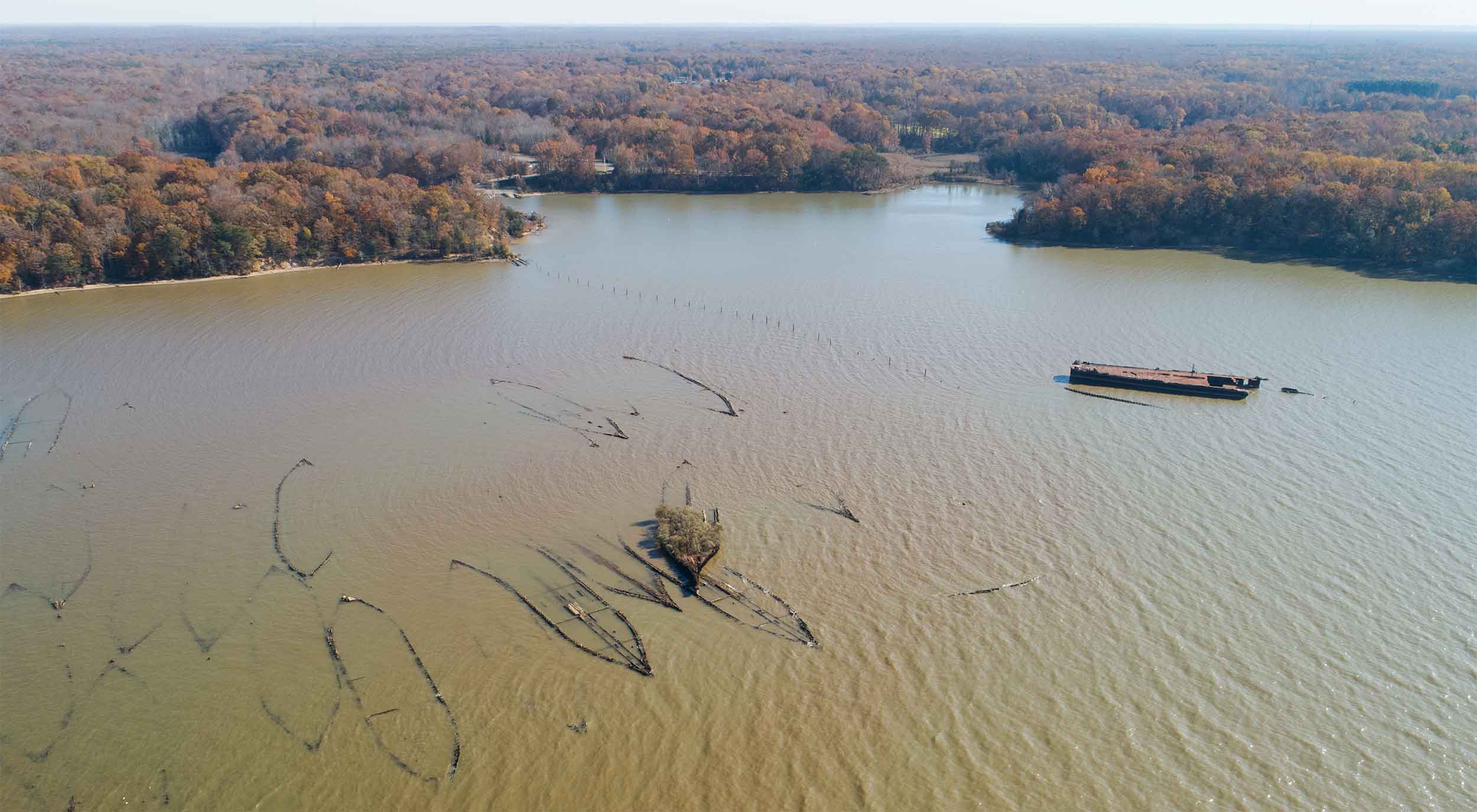
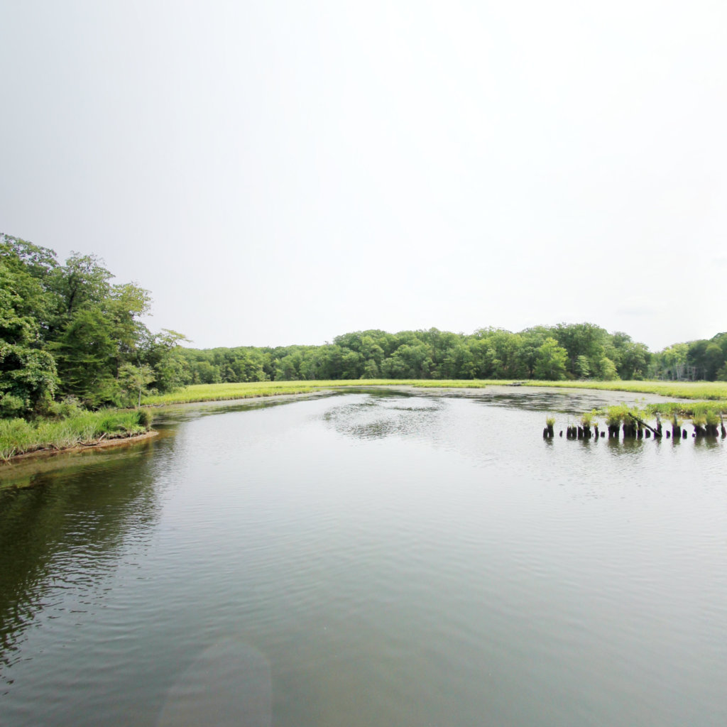
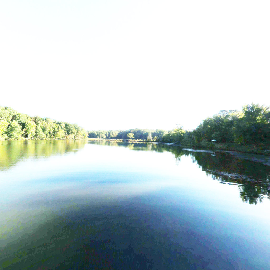
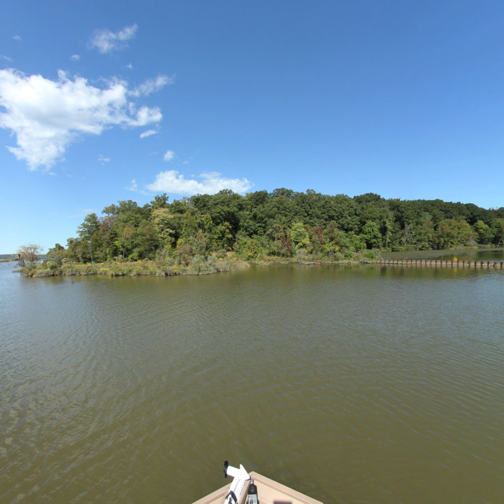
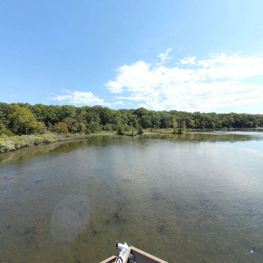
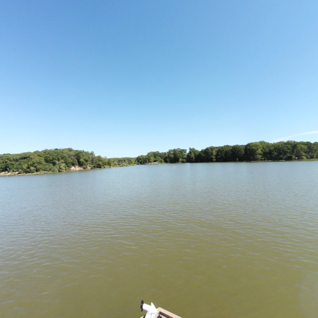
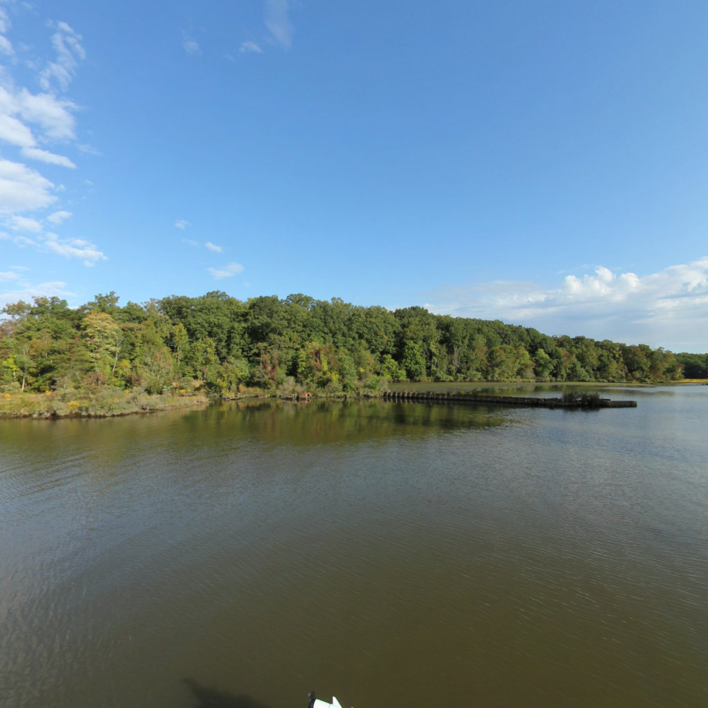
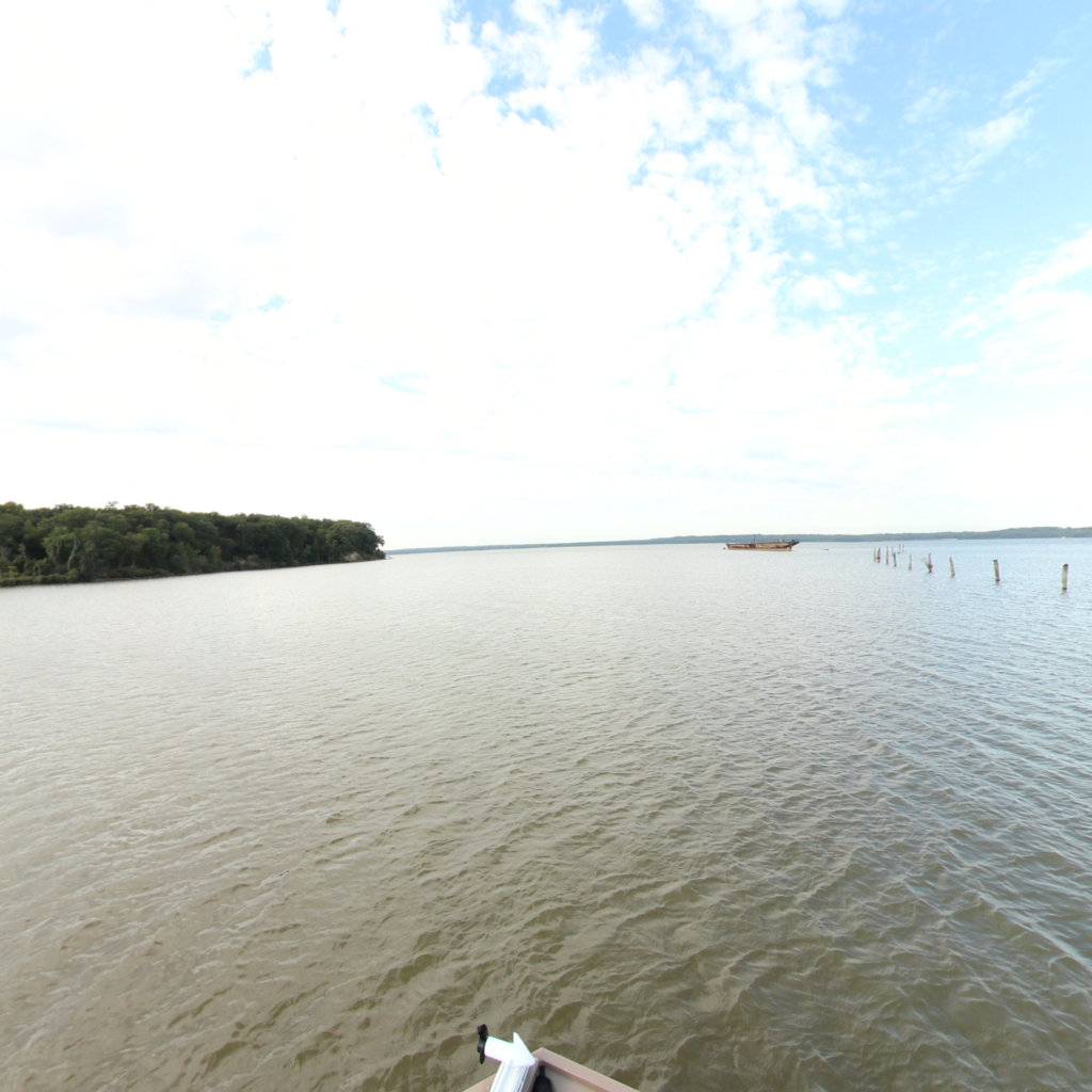
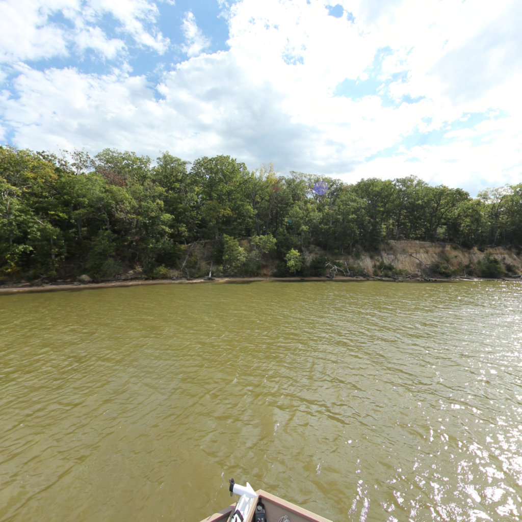
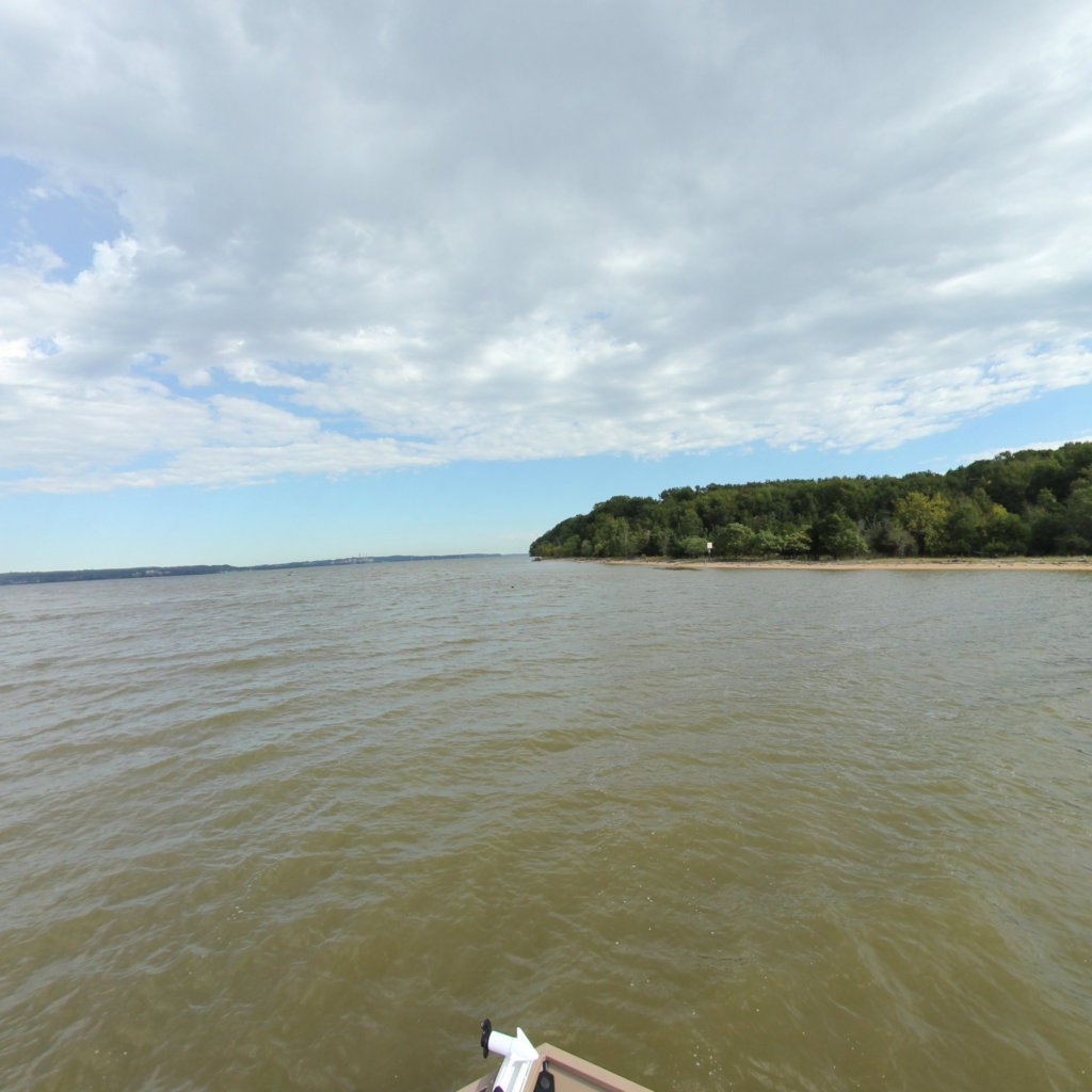
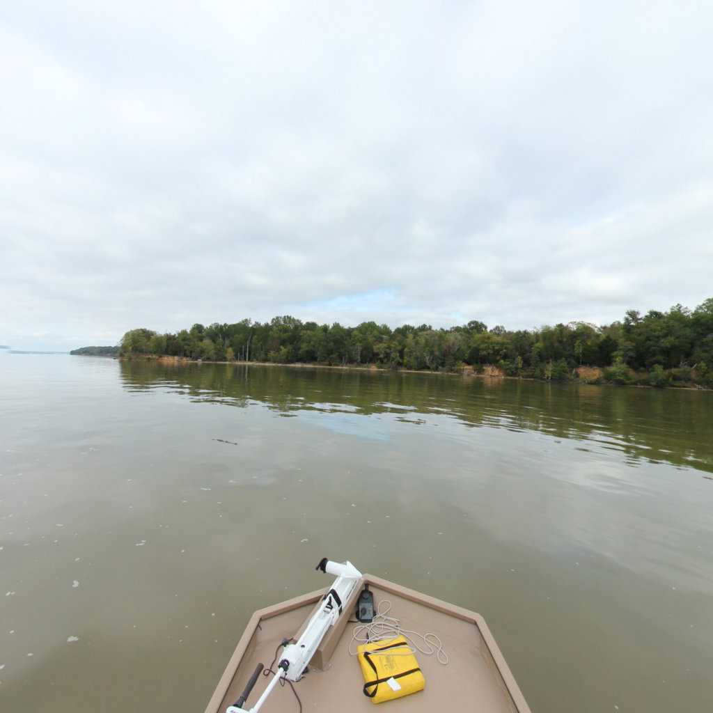
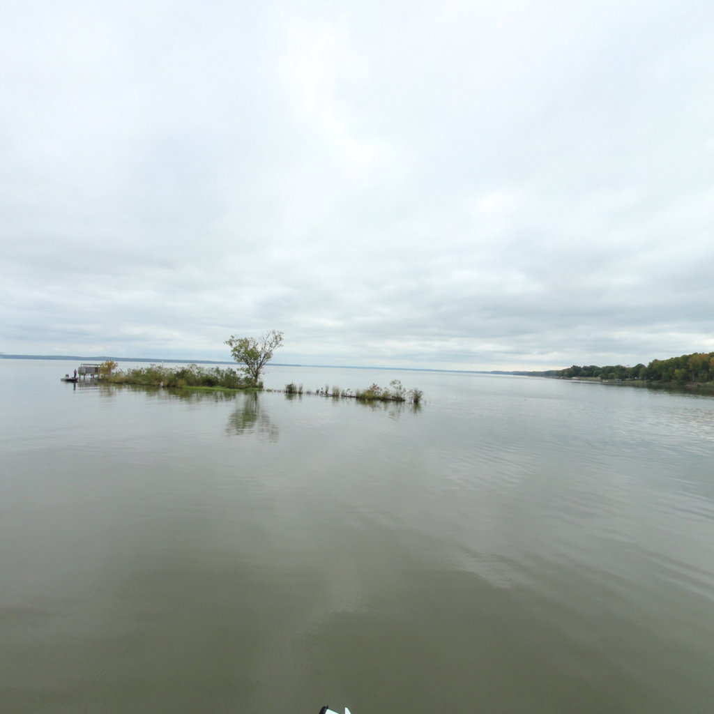
Mallows Bay-Potomac River National Marine Sanctuary protects and interprets the remnants of more than 100 World War I-era wooden steamships – known as the "Ghost Fleet" - and other maritime resources and cultural heritage dating back nearly 12,000 years.
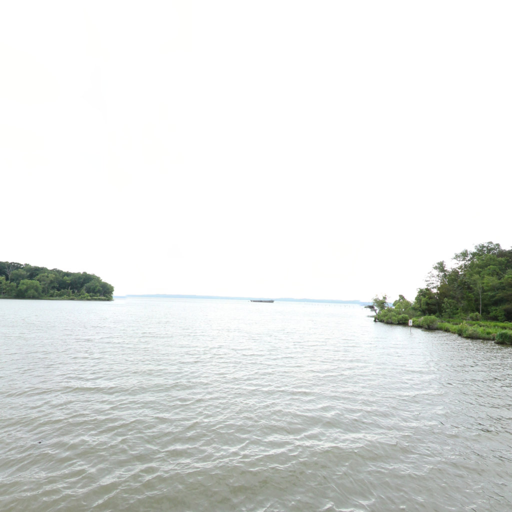
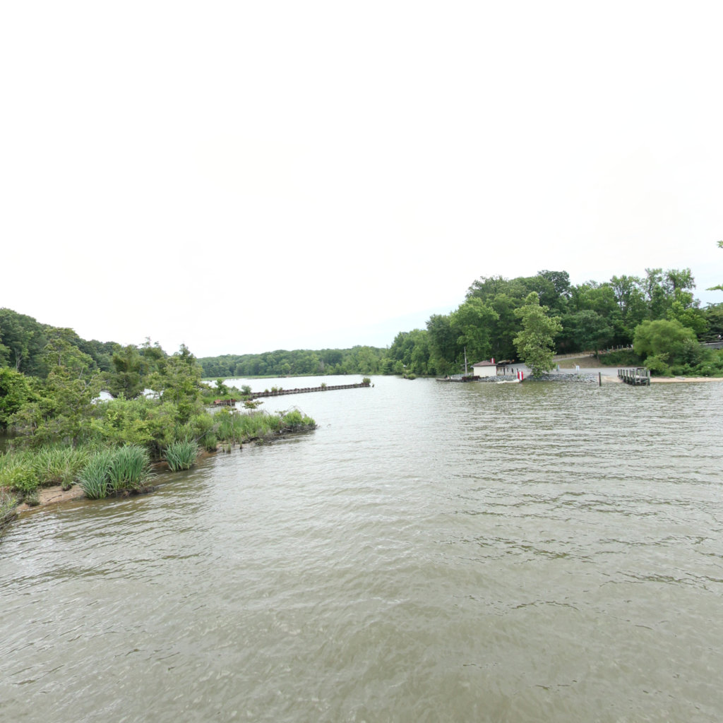
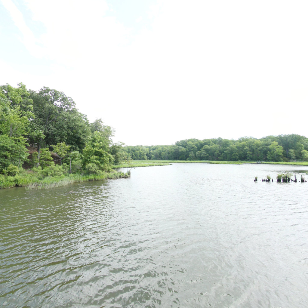
Beaver Trail (0.1 mi)

38.469205, -77.257989
Beaver Trail scene image looking forward

Overlook Trail (0.89 mi)

38.468362, -77.263324
Overlook Trail scene image looking forward

Ridge Trail (0.45 mi)

38.468057, -77.254265
Ridge Trail scene image looking forward

Ridge Trail (1.16 mi)

38.468057, -77.254265
Ridge Trail scene image looking forward

Accomac Aerial (0.22 mi)

38.469102, -77.269985
Accomac Aerial scene image looking forward

Shoreline (0.31 mi)

38.468252, -77.267763
Shoreline scene image looking forward

Mallows Bay (2.22 mi)

38.477784, -77.272081
Mallows Bay scene image looking forward

Low tide wrecks (0.81 mi)

38.469525, -77.26669
Low tide wrecks scene image looking forward

Holly Marsh Trail (0.85 mi)

38.408791, -77.324923
Holly Marsh Trail scene image looking forward

Long Pond Trail (0.89 mi)

38.40878, -77.326361
Long Pond Trail scene image looking forward

Widewater Wrecks (0.19 mi)

38.436167, -77.322802
Widewater Wrecks scene image looking forward

Explore the Map

Click on any line in the map to explore the location in street view.