Eight years of development went into an immersive viewer that performs across every browser and device, plus the integrations that make the data work for you.
 ‹›
‹›
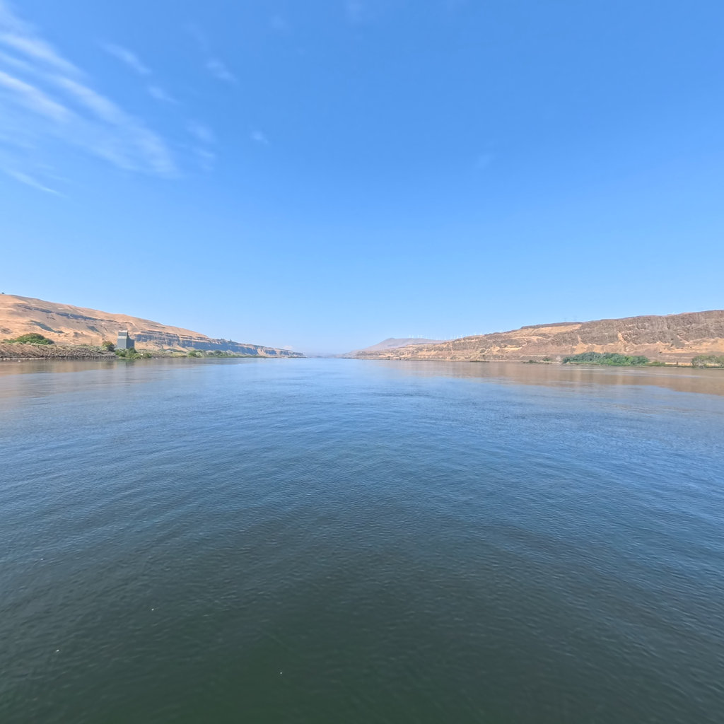
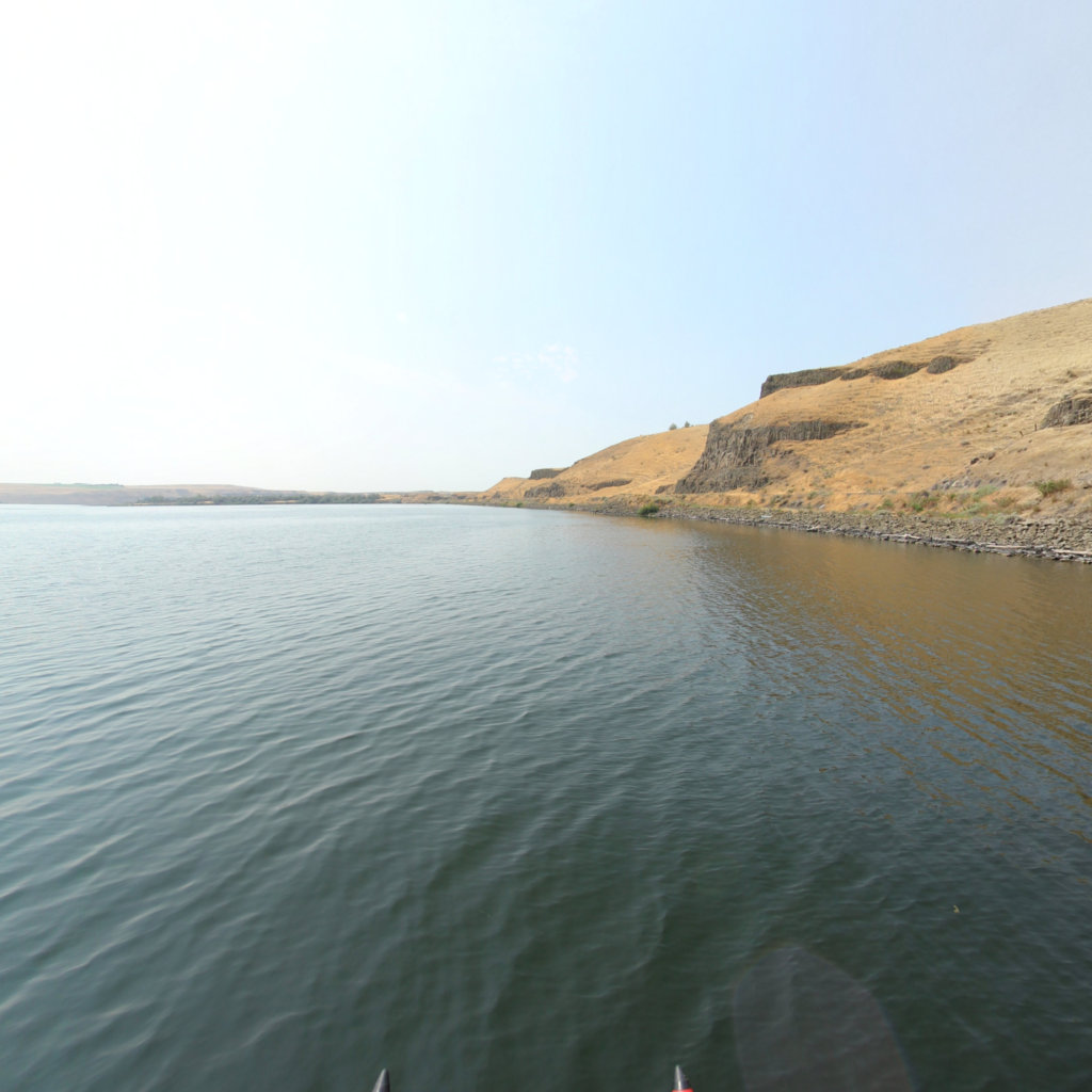
Euler-equation transitions and unlimited continuous scenes deliver a seamless, realistic virtual tour on any device.

View the same location across capture dates — erosion, regrowth, seasonal and storm change, side by side.
 2
3
2
3
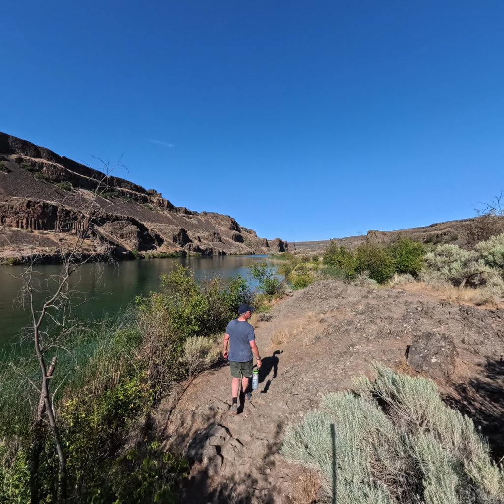
Research-grade iNaturalist observations surface right inside the scene, pinned where they were recorded.
 person 0.97
water 0.95
cliff 0.90
sagebrush 0.82
person 0.97
water 0.95
cliff 0.90
sagebrush 0.82
Per-scene object detection drives spoken audio descriptions, making every view accessible and 508-compliant.

Place editable points of interest in XYZ space, with video, audio, image galleries, links, and 3D models.
 NO API KEY
<iframe src="terrain360.com/embed/…">
NO API KEY
<iframe src="terrain360.com/embed/…">
Embed any public map or trail on your own site, as simple as a YouTube video — no API key required.
Eight years of building means the viewer does far more than spin a panorama. Every one of these ships in the product today.
Current conditions for the exact scene, toggled against the weather recorded the day it was captured.
Real-time USGS gauge readings, discharge and stage, now versus when the scene was shot.
Live NOAA tide levels and charts for coastal trails.
An elevation graph along the whole route, with live elevation read out per scene.
A hands-free flythrough that walks the trail for you, with a 0.5–2× speed control.
Tilt your phone to look around the scene, with full gyroscope control on mobile.
On-screen compass, GPS coordinates, and a meter for how far you’ve traveled.
Go edge-to-edge, or grab a one-tap screenshot of any view.
A satellite map with 3D terrain that tracks your position. Click to jump anywhere.
Browse and search every trail by name or category, with a 360° preview before you enter.
Curated featured scenes that fly the map straight to the good parts.
Drop in county boundaries and property parcel lines on demand.
Adjacent captures stitch together so a route spans many trails as one.
Share a link that reopens to the exact scene, heading, and zoom you’re looking at.
Short t360.it links and your sponsor logos, right on the map and viewer.
The full viewer interface in multiple languages, including Spanish.
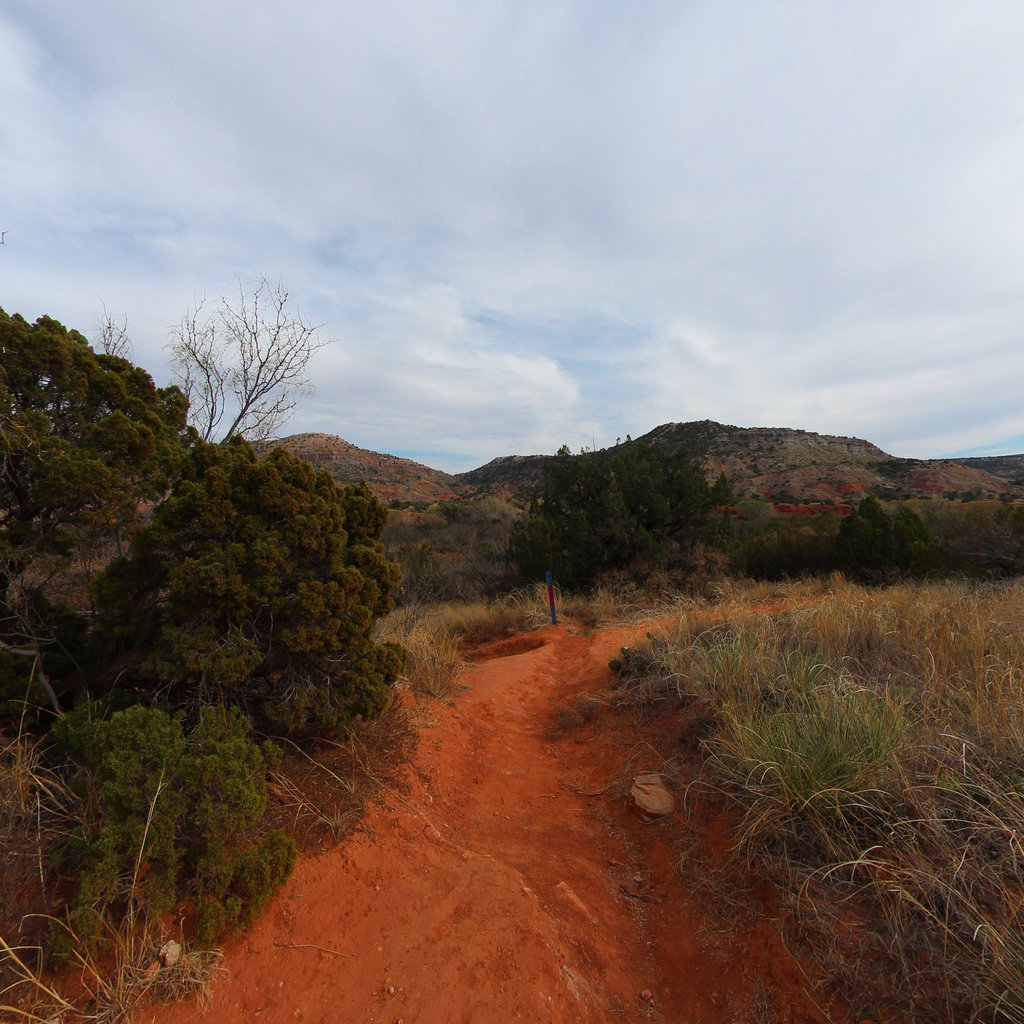
Captured at eye level and from the air, both in the same immersive viewer.
Every scene carries precise lat/long/elevation, shown in decimal degrees or DMS.
For corridors without ground access, we capture in drone-based 360°, the same immersive viewer, an aerial vantage. A growing set of trails is drone-only.
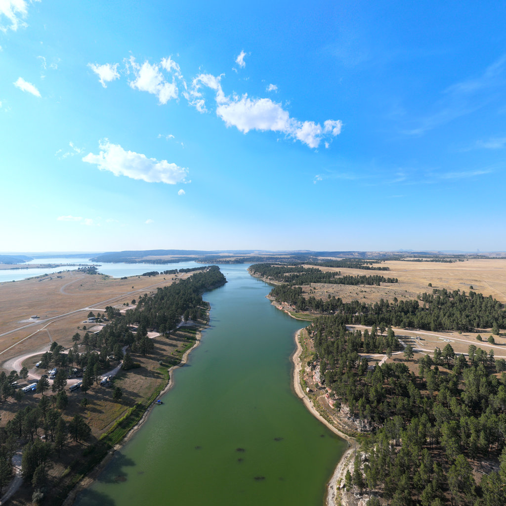 Drone 360°
Integrate trails, scenes, or maps into any website in seconds. Embed code is available on every publicly accessible map and trail.
Learn about embeds →Bring trails, scenes, and maps into iOS/Android apps, data pipelines, ArcGIS, and web applications.
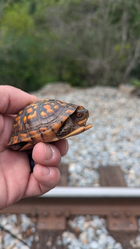
Request API access →Species photo: Eastern Box Turtle © kirk gardner, CC BY 4.0, via iNaturalist.
