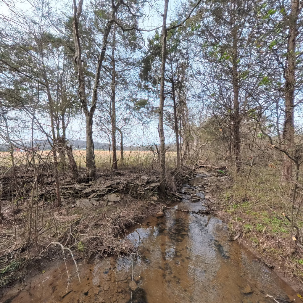
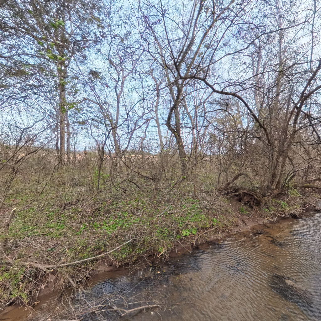
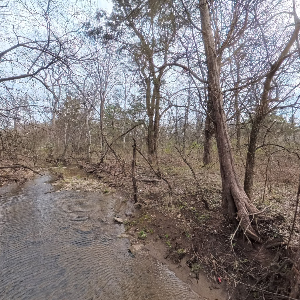
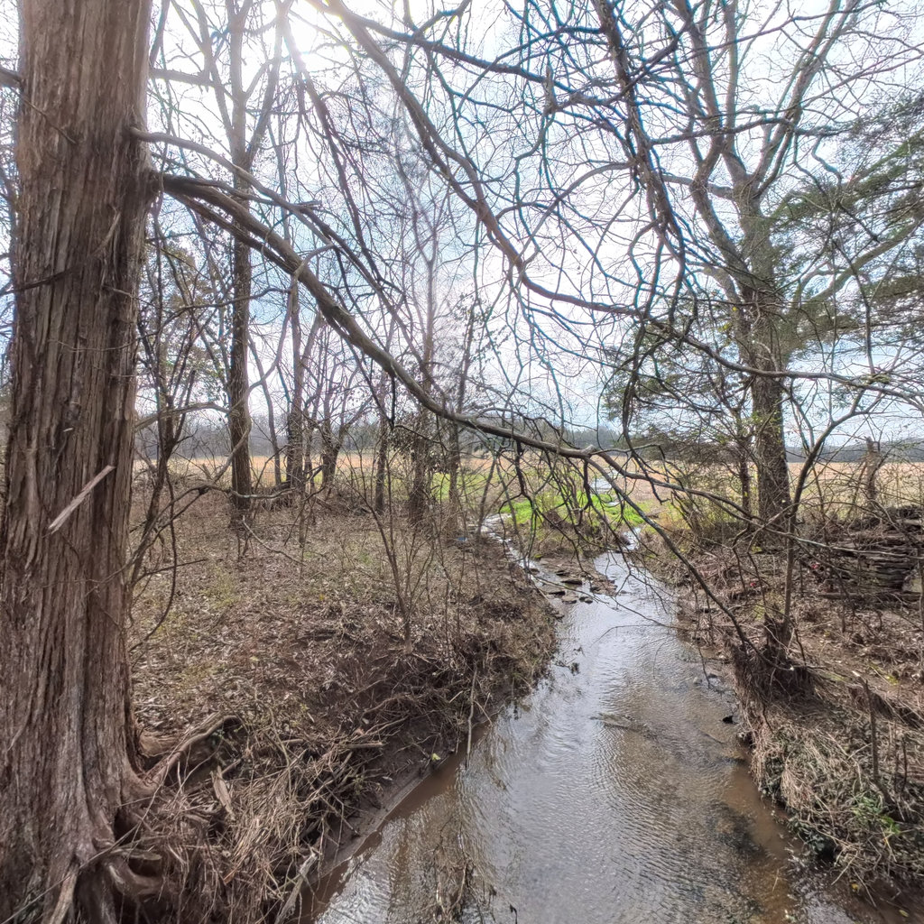
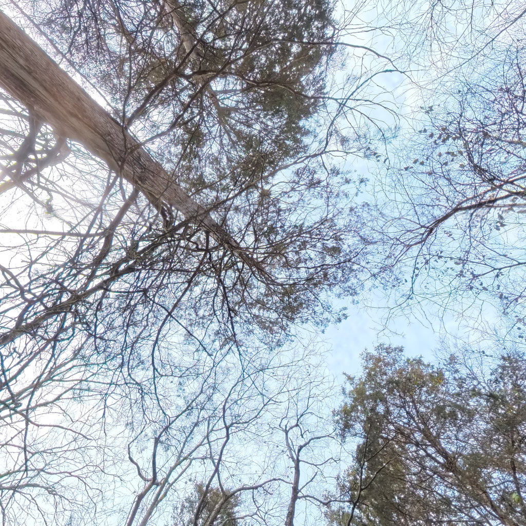
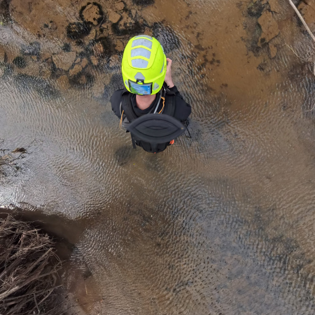
A real example: one captured scene, six cube faces, read against the MS4 stream-assessment protocol.
Stormwater permits require every outfall to be inspected and documented on a recurring five-year cycle. We capture your whole system once, covering every outfall, inlet, culvert, and stream reach in 360°, and the model returns permit-ready stream assessments and an outfall inventory you can file. Then we come back each cycle, so you hold a living visual record, not a one-time snapshot.
Compliance-software vendors hand you a database to fill in yourself. We document the condition of the water itself: USDA SVAP, EPA Rapid Bioassessment, and illicit-discharge (IDDE) screening in one pass, exportable straight to your GIS.
This works at system scale. Our largest stream capture to date covered 204 miles of creeks and channels across a regional sewer district's service area, in about 30 winter field days.
The capture platform, the cube-face pipeline, and the stream-assessment read work today, and the output above came off a real captured scene rather than a mockup. The MS4 Visual Evidence Lens is live in the viewer on two captured corridors, every observation placed in the scene and labelled as evidence to verify. What we have not done is take a municipality through a full five-year MS4 reporting cycle, because the service is new. If you would be the first, you should know that before you take it to procurement, not after. We would rather scope a pilot honestly than win the work on an implication.
High-resolution panoramic imagery at regular intervals, each scene tagged with GPS, elevation, and bearing.
Each panorama is projected to six cube faces at 4096² px so fine detail survives the analysis.
Every face is read by a frontier vision model against methodology-specific prompts, then synthesized to site-level metrics.
Results stored as structured JSON, exportable to GeoJSON for GIS or queried via API.
Objects detected per scene drive automatic spoken descriptions.
See the same place change across capture dates.
Research-grade iNaturalist data, in the scene.
The same vision models, running live on fixed and mobile cameras with realtime data, for the sites you need to watch continuously.
Locate and inventory outfalls, inlets, culverts, and drainage assets across an entire system, with conditions documented for permit reporting.
Index scenic and visual resources along corridors to support land-use planning, NEPA, and permitting.
Detect signs, guardrails, culverts, and infrastructure across miles of corridor automatically, no crew at every mile.
Generate ADA-compliant descriptions for tens of thousands of scenes automatically, instead of captioning each by hand.
We deploy our vision models on your captures and satellite feeds, or train custom ones for your use case.
Start a conversation →