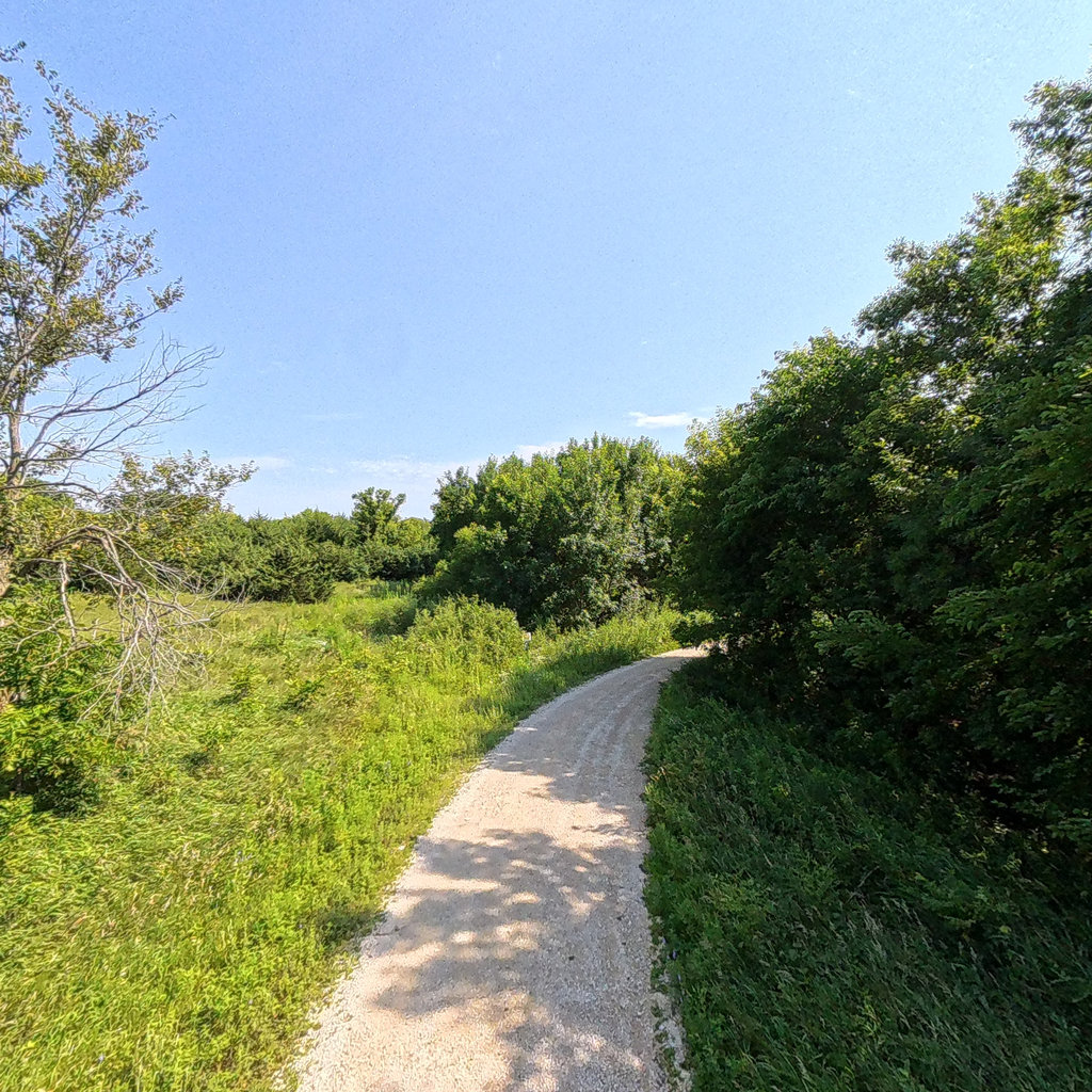
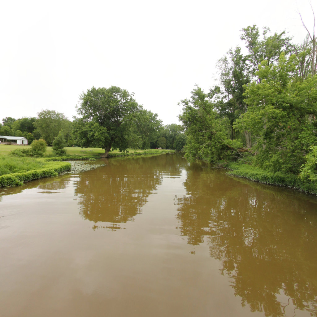
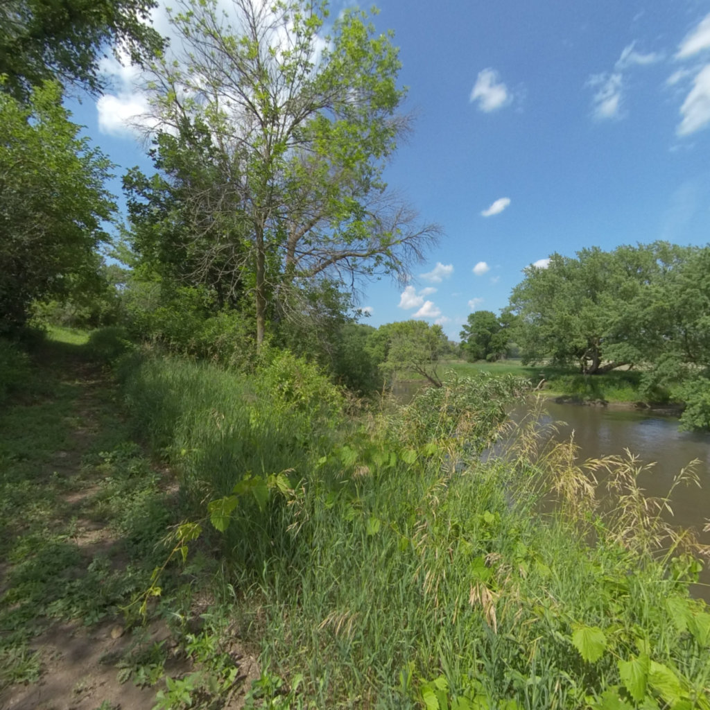
We capture, measure, and publish survey-grade immersive maps of trails, rivers, and waterways, all ADA-documented, GIS-ready, and delivered to your specifications. Trusted by federal, state, and local partners.
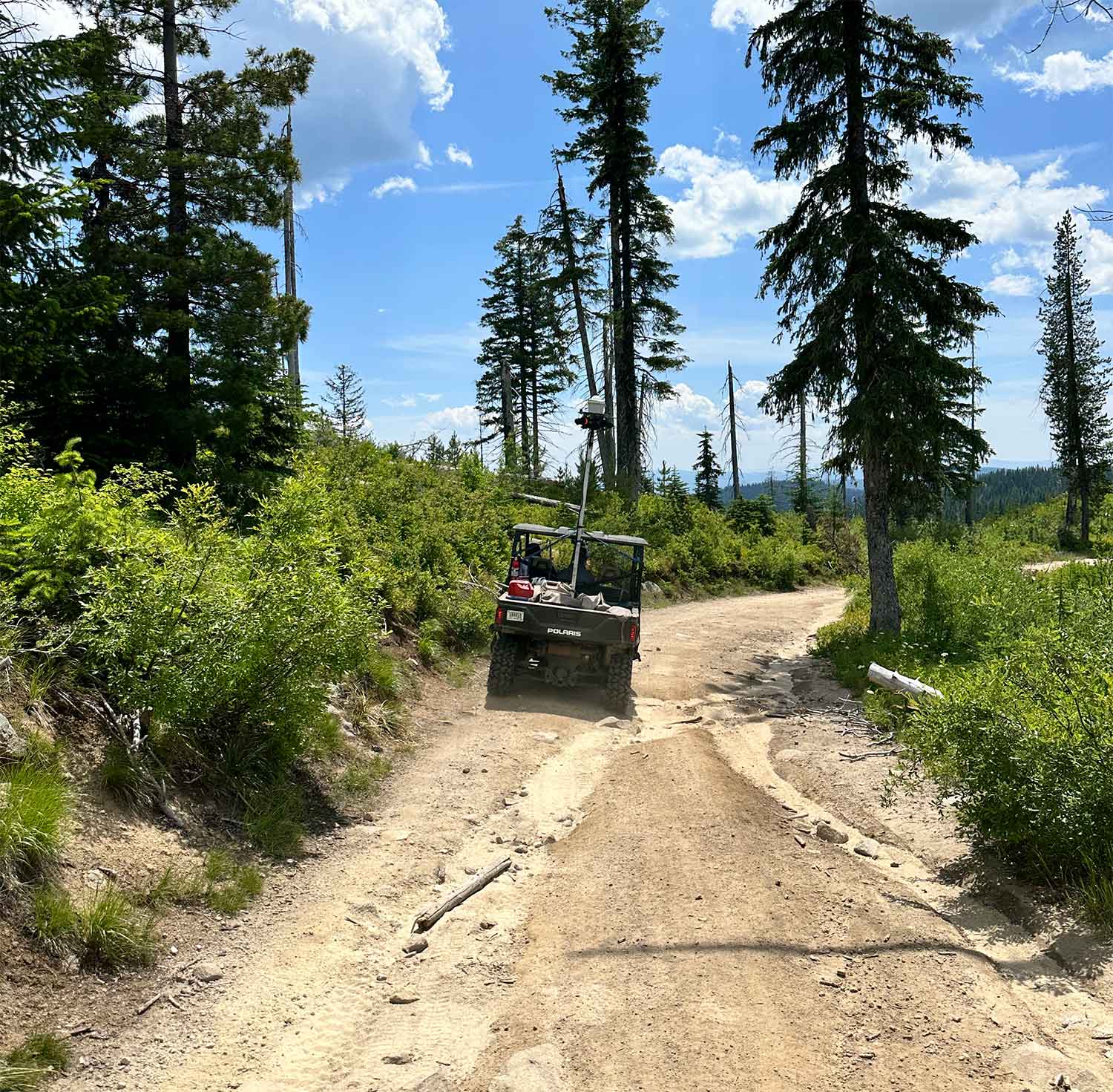
Backpack, vehicle, and watercraft rigs capture continuous spherical imagery along any corridor, on land or water.
Each scene carries precise latitude/longitude, exportable to ArcGIS and any GIS workflow.
Vision-assisted audio descriptions and transcripts make every corridor accessible to visually impaired users.
Vision models read every scene against your field requirements, delivering structured MS4, erosion, visual-resource, and access assessments. Capture once, re-run the latest model anytime.
Drop any map or trail into your own .gov or .org site as easily as embedding a video, with no API key required.
General and ArcGIS API access for integration into iOS, Android, and web applications, plus raw data exports.
We define the corridor, deliverables, and access points with your team.
Field crews collect 360° imagery and survey-grade GPS on site.
Scenes are stitched, geolocated, object-detected, and ADA-narrated.
Delivered on Terrain360, embedded on your site, or via API/GIS export.
Street View for rivers: 33 miles of 360° stream, culvert, and bridge mapping across the Cuyahoga watershed, built for erosion monitoring, asset inspection, and maintenance planning.
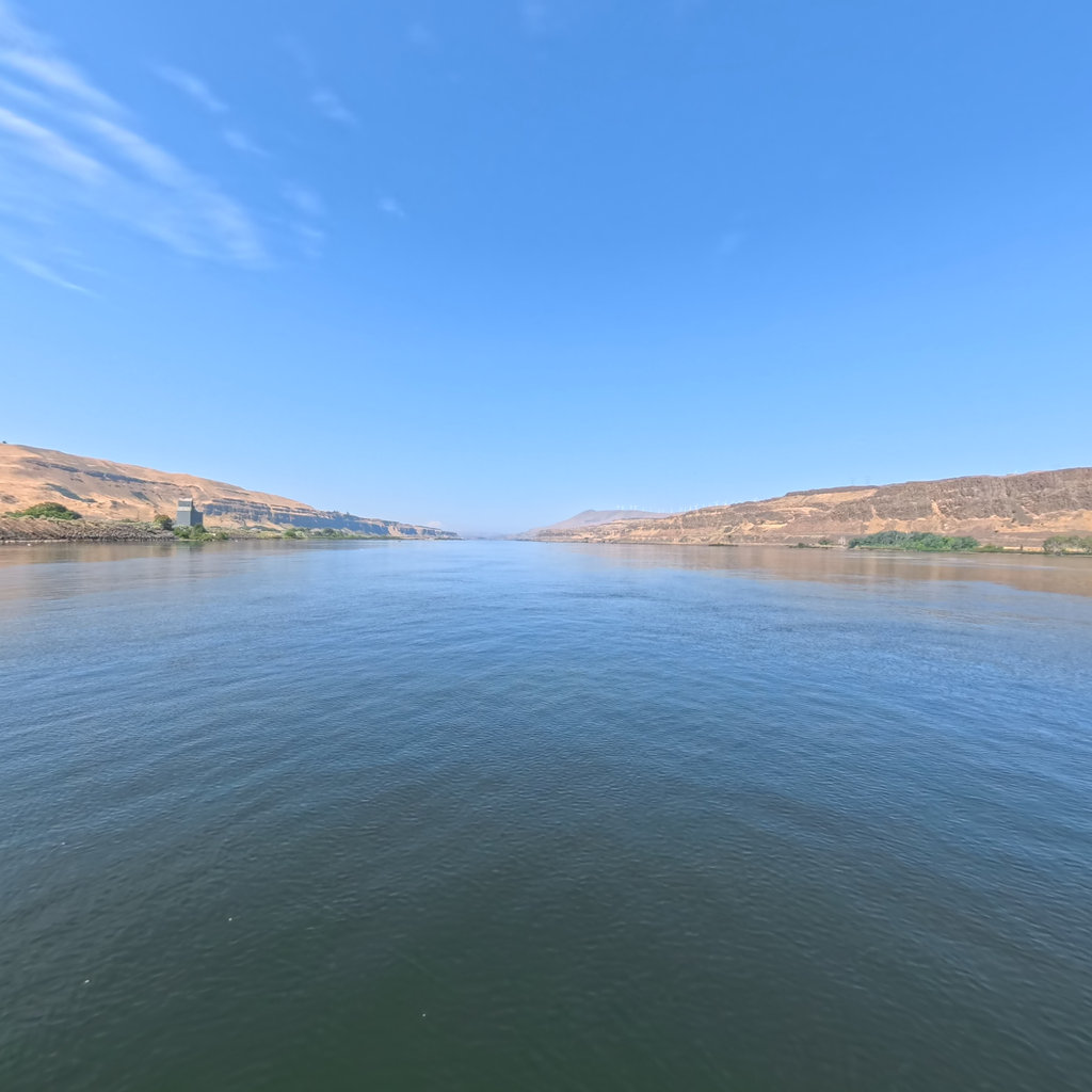
354 miles of the Columbia River corridor captured in 360° for the National Park Service, tracing the historic Lewis & Clark route from The Dalles downstream.
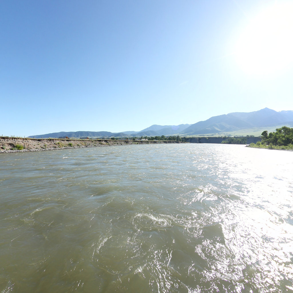
A historic mapping expedition with the National Park Service along the Lewis & Clark National Historic Trail, covering 509 miles of the Yellowstone River in immersive 360°.
191 miles of the Des Moines River System, plus the Boone River and Lizard Creek, with 94 public access sites across 15 counties, captured for Iowa's newest state-designated water trail.
61 miles of the Cass River corridor mapped in 360° to support flood-risk planning and riverfront awareness across mid-Michigan.
219 miles of Wild & Scenic river along the edge of Glacier National Park, the corridor that inspired the 1968 Wild & Scenic Rivers Act, captured at every river access site in 360°.
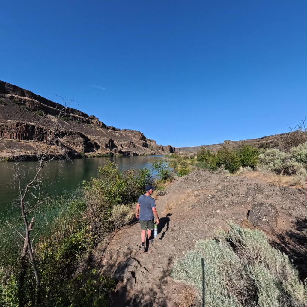
The Ice Age Floods Trail across the Pacific Northwest, captured in 360° and paired with a cinematic interactive map that reconstructs the glacial megafloods.
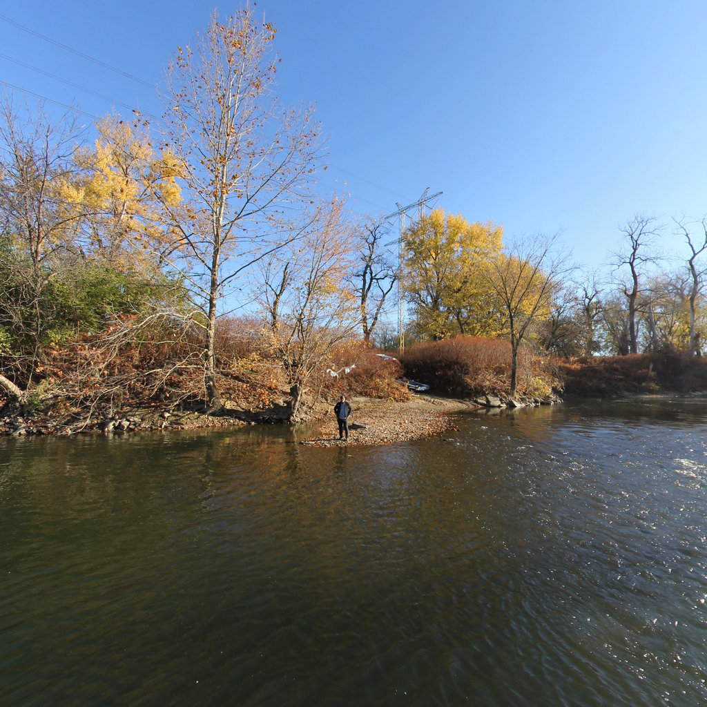
The historic Inkpaduta Canoe Trail: 194 miles of the Little Sioux River across seven counties, with every public access site mapped in immersive 360° and drone photography.
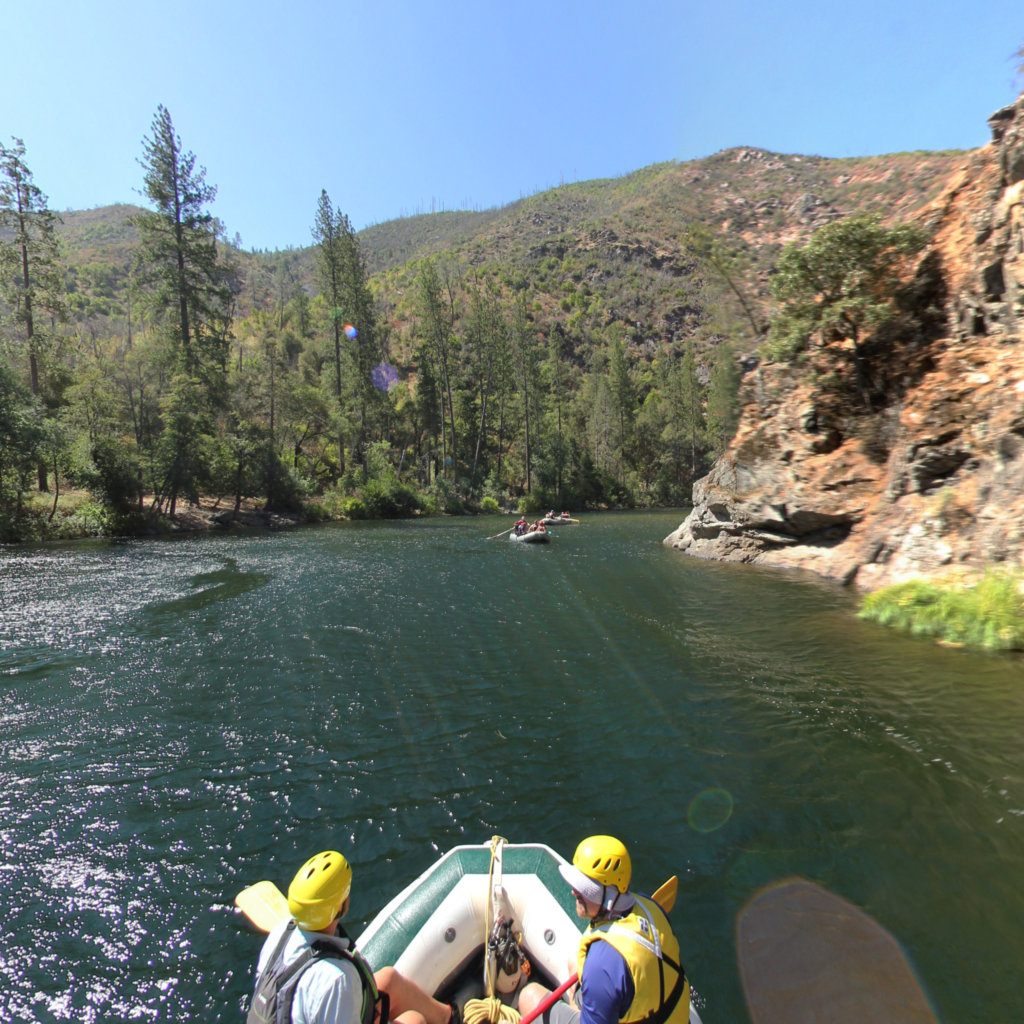
19 miles of California's Tuolumne, a federally designated Wild & Scenic River running from the Yosemite high country through the Sierra foothills, captured in 360°.
Tell us about your trail, river, or asset network and we'll scope a pilot.
