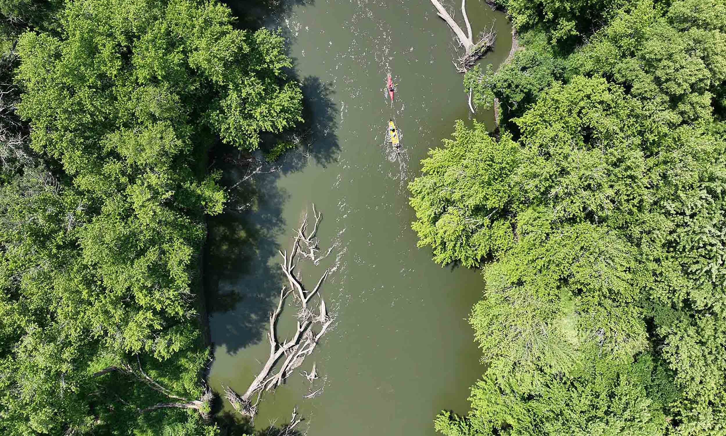
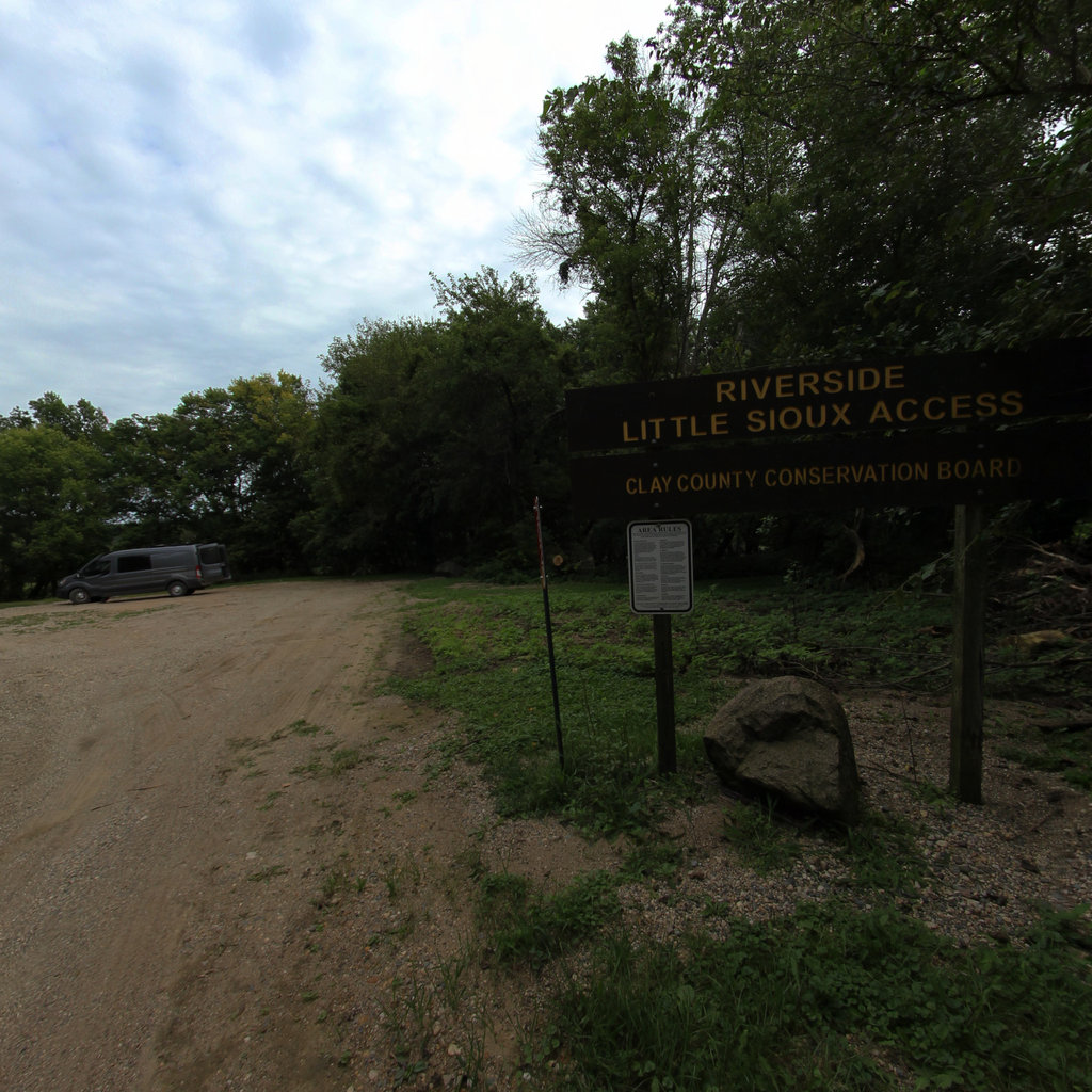
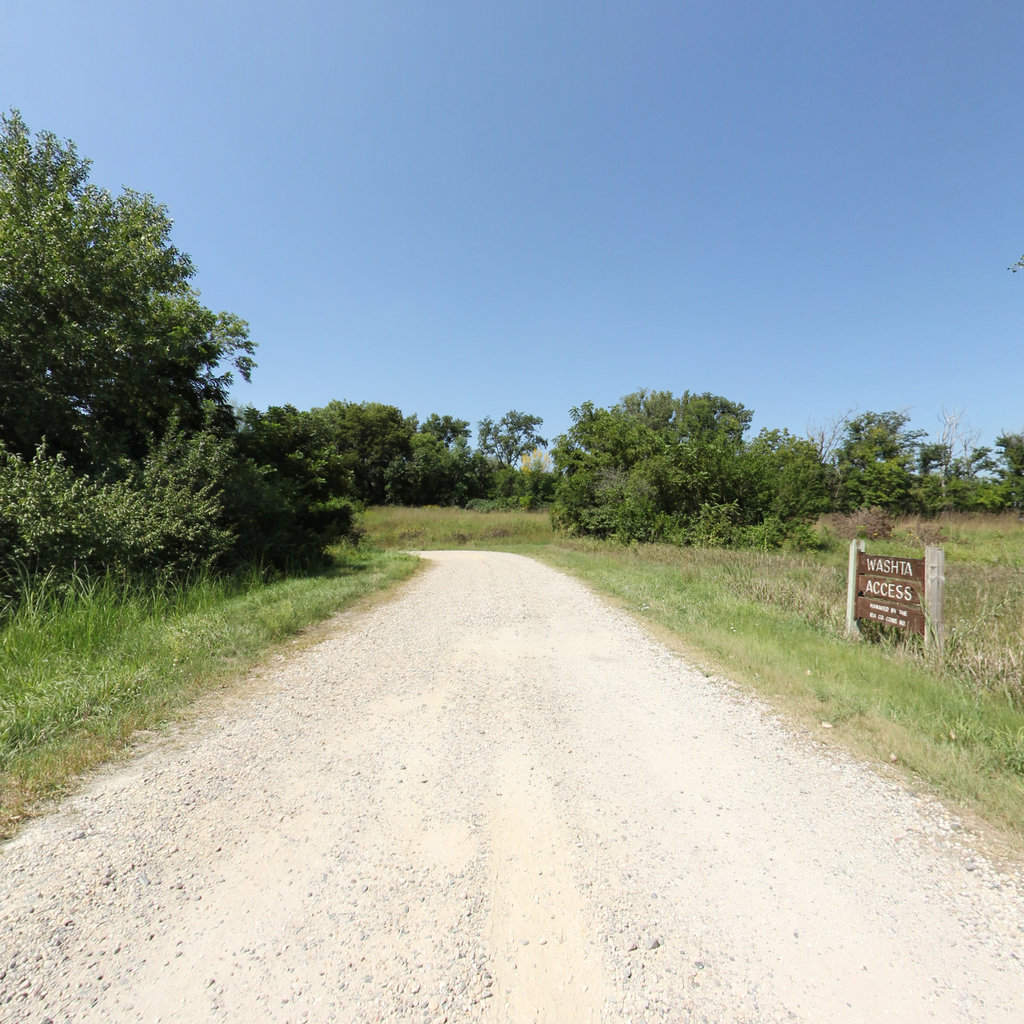
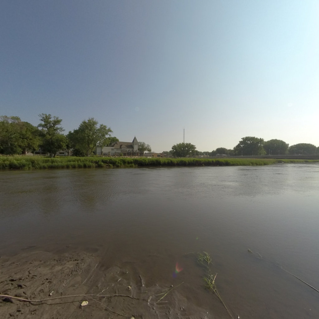
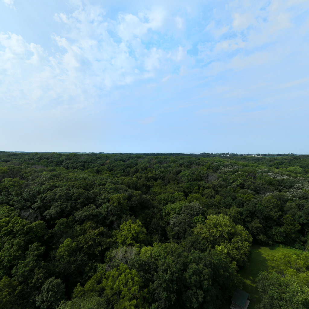
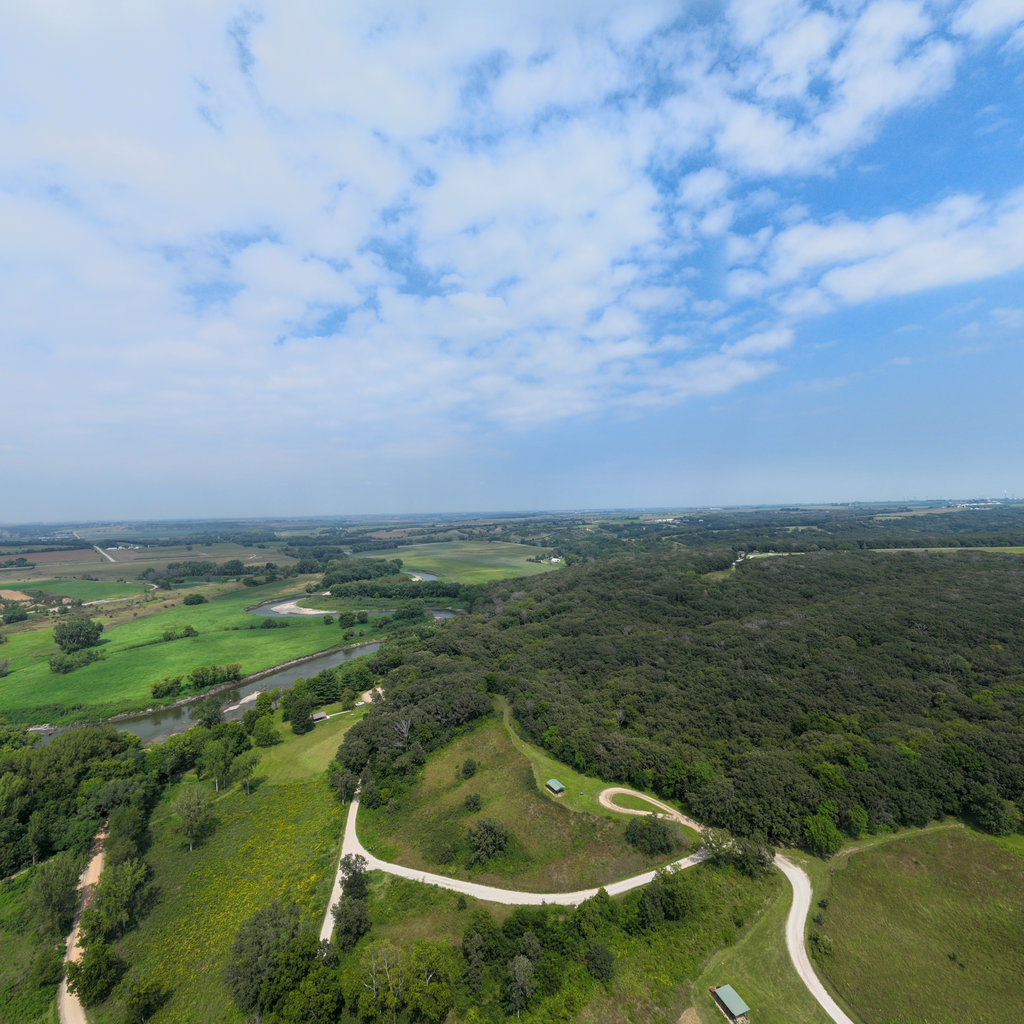
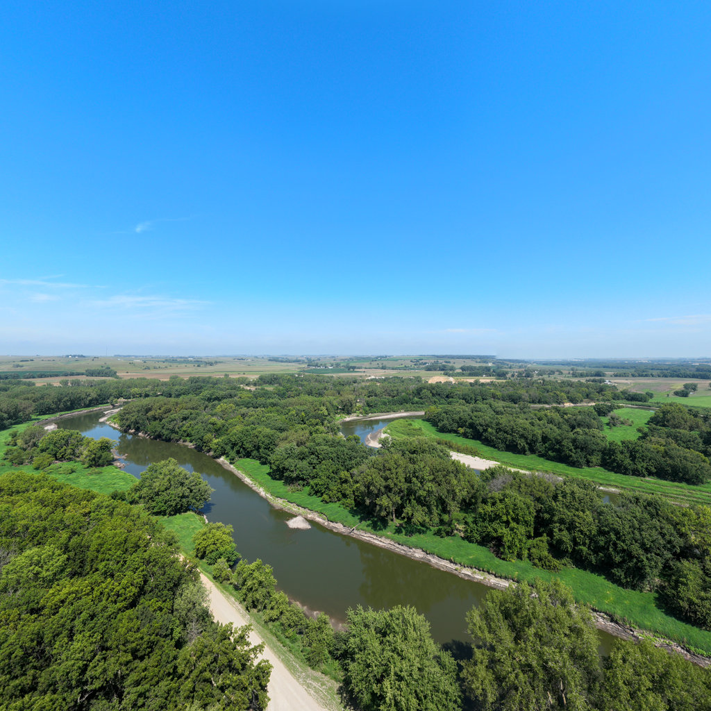
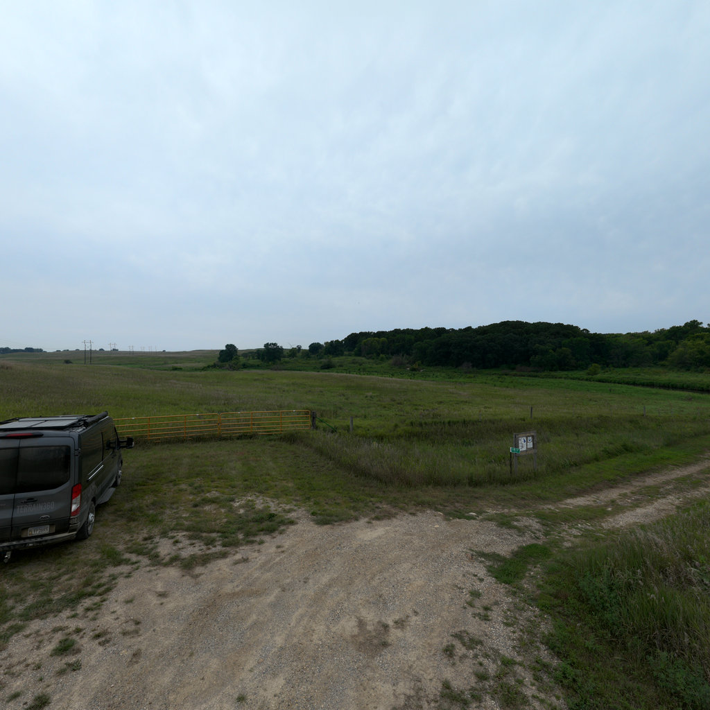
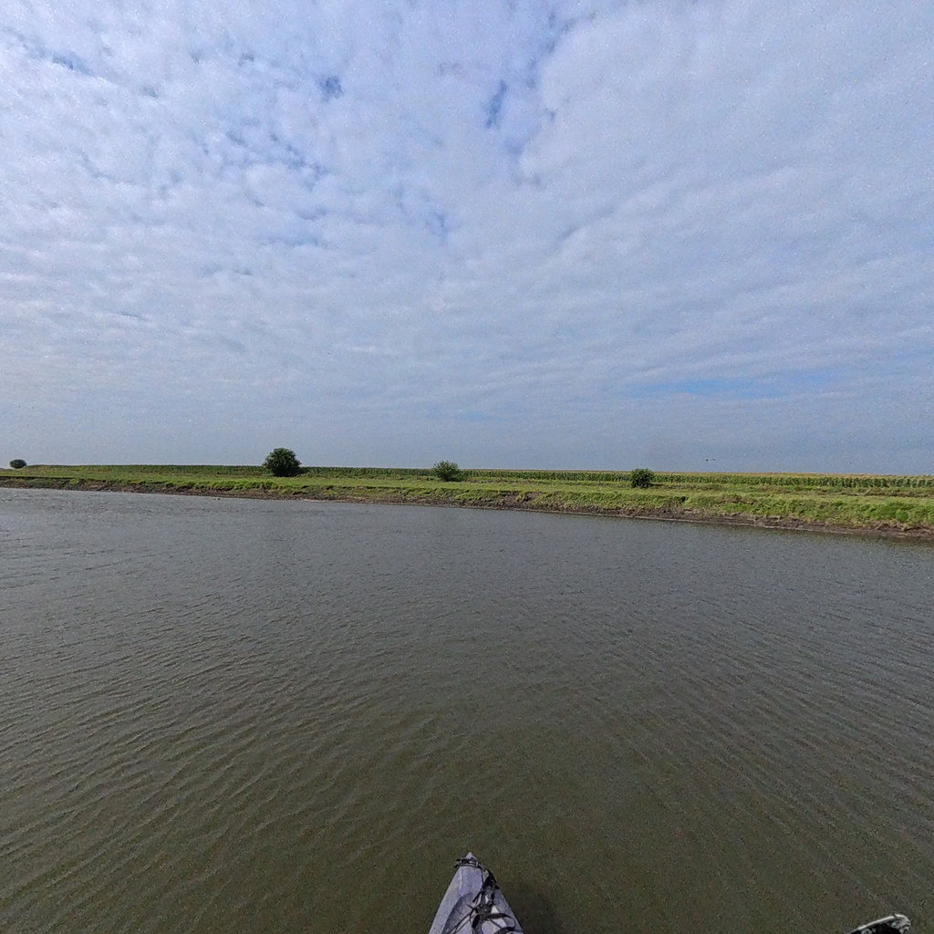
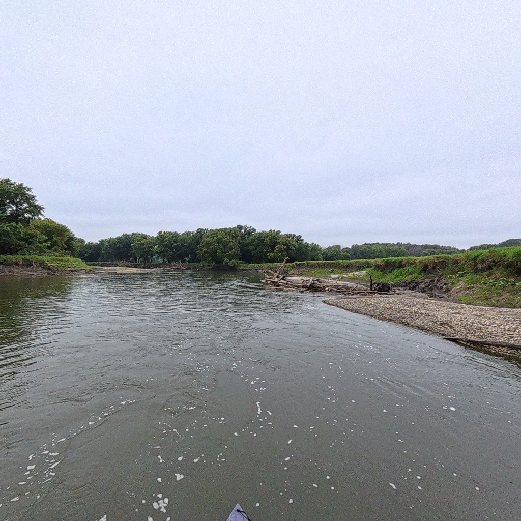
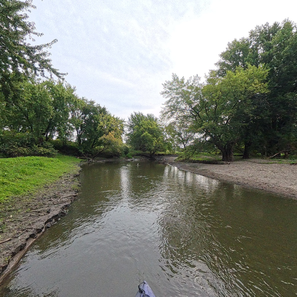
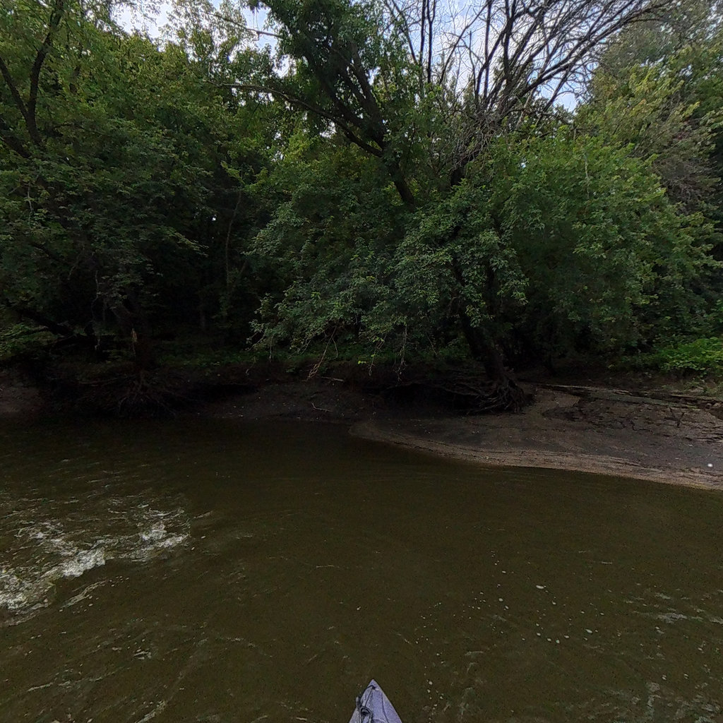
The Little Sioux River, a 258-mile waterway flowing from southwestern Minnesota through northwest Iowa to the Missouri River, has been comprehensively mapped by Terrain360, a leading provider of immersive 360-degree virtual tour experiences. Known to the Sioux Indians as Eaneah-waudepon or "Stone River," this important tributary of the Missouri River was the subject of a high-resolution panoramic mapping project commissioned by the Iowa Department of Natural Resources (DNR). From June 4th to June 11th, 2024, Terrain360 captured detailed imagery of approximately 174 miles of the river and 22 access sites, building upon a successful 2023 initiative.
This innovative project created a Google Street View-like experience of the Little Sioux River, allowing virtual exploration of its course and surrounding landscape. The resulting virtual tour integrates various datasets, including master plan documents, natural resource assessments, and GIS/USGS information. This comprehensive visual dataset supports a wide range of applications, from enhancing recreational planning and river management to facilitating scientific research, education, and conservation efforts. By documenting the river that plays a crucial role in the Nepper Watershed Project - a major Iowa flood control and soil conservation program - this mapping initiative has provided valuable tools for stakeholders and engaged the community in the stewardship of this vital waterway. Interested individuals can now explore the completed map online, gaining unprecedented access to the Little Sioux River's beauty and ecological significance from the comfort of their own devices.
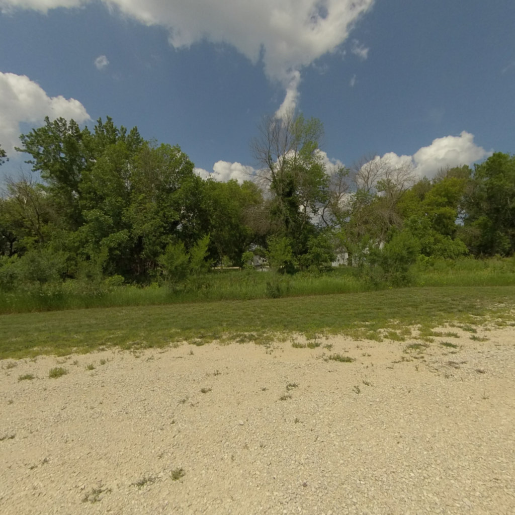
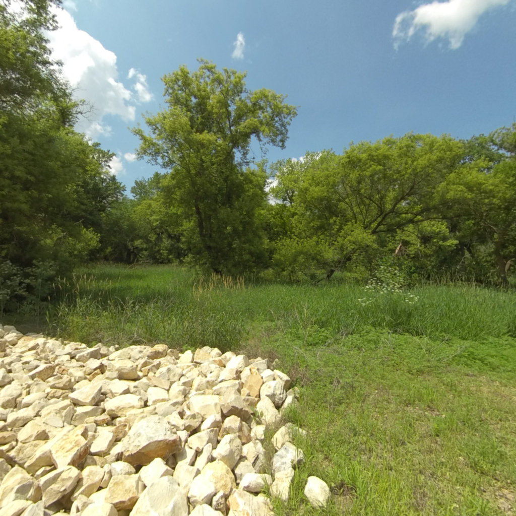
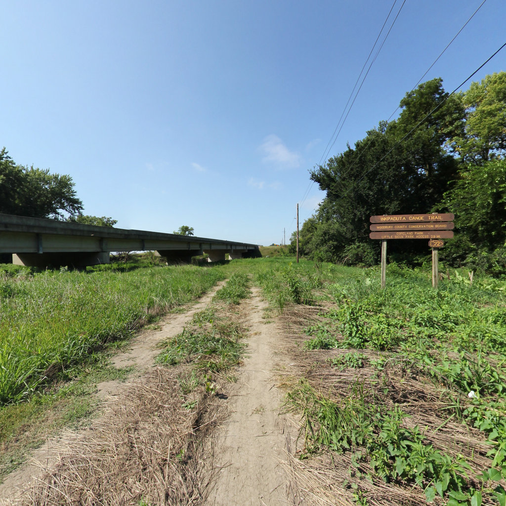
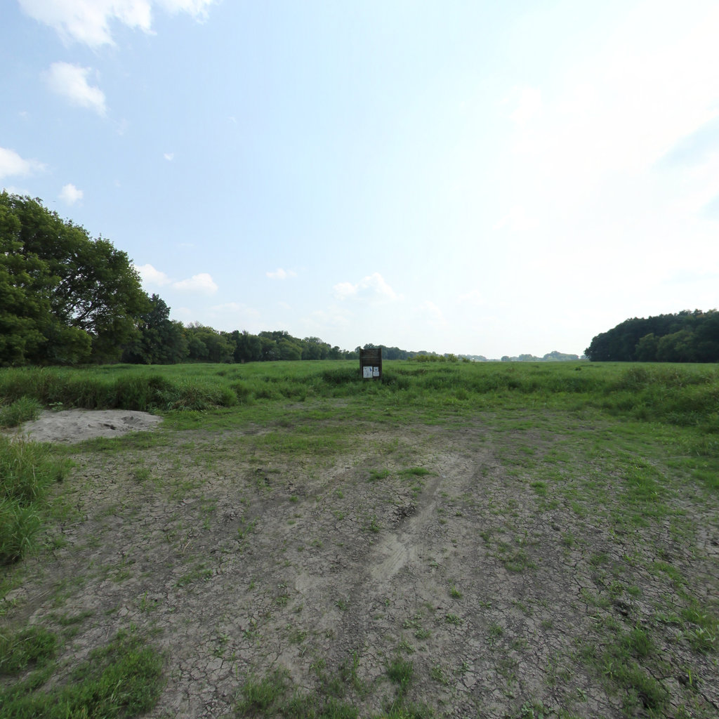
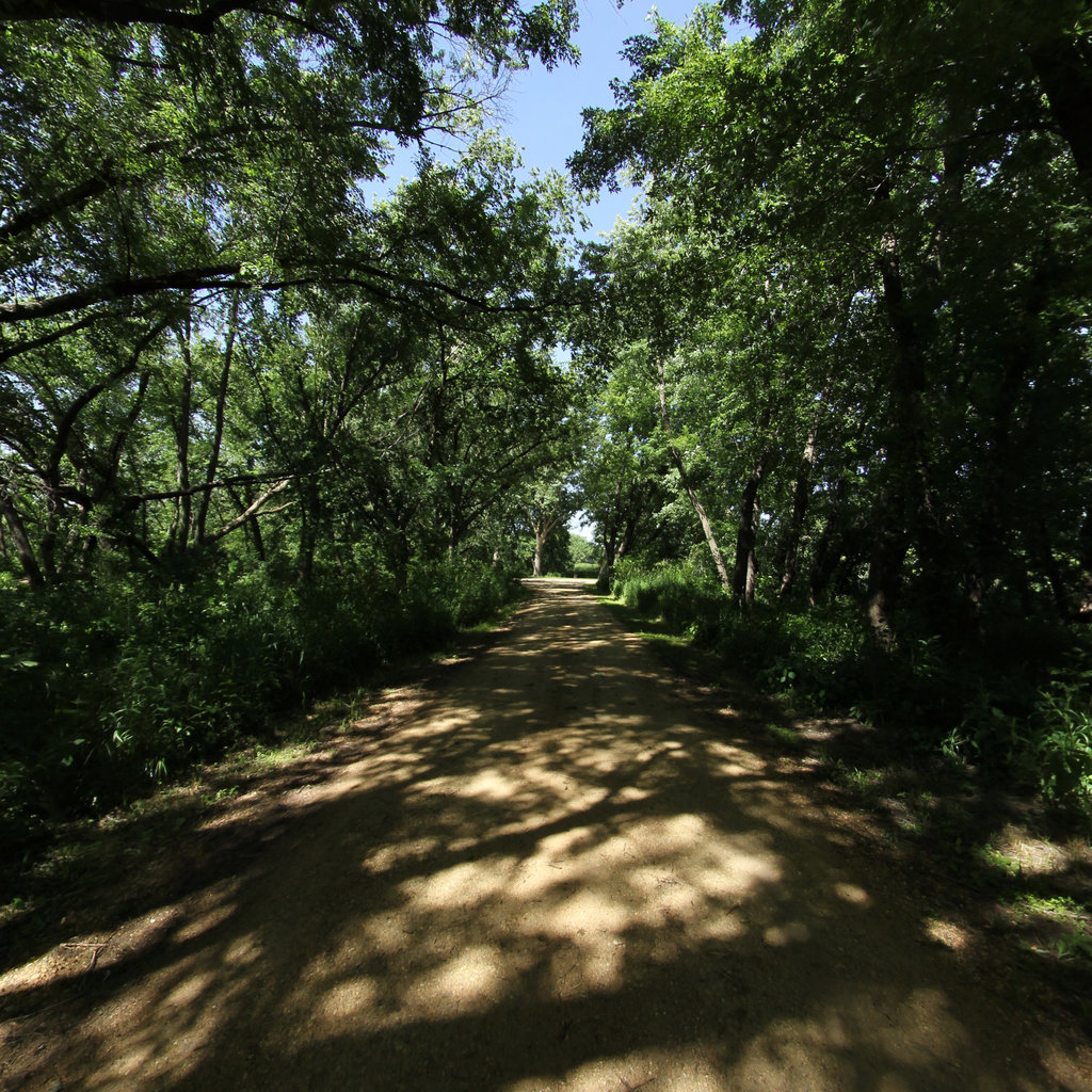
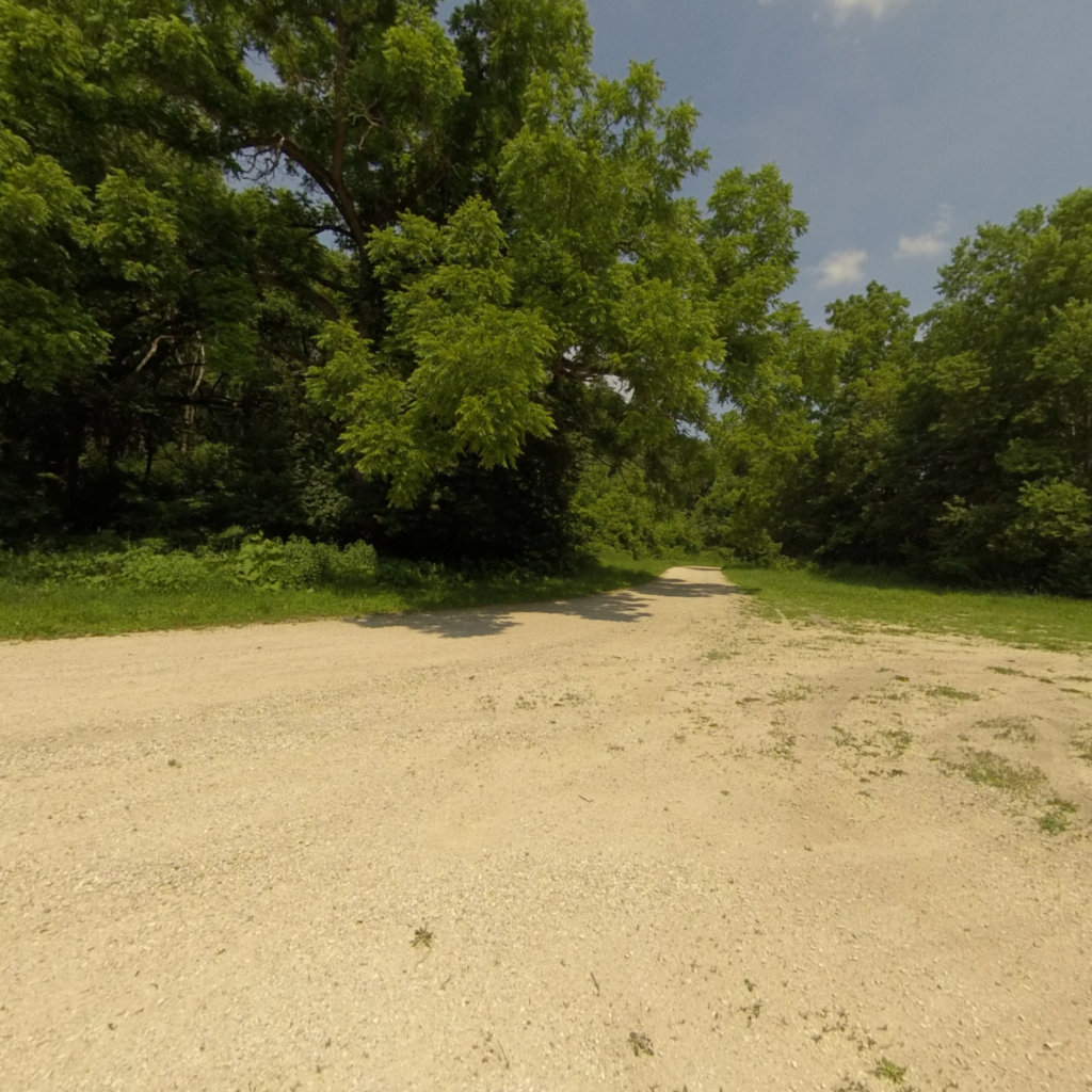
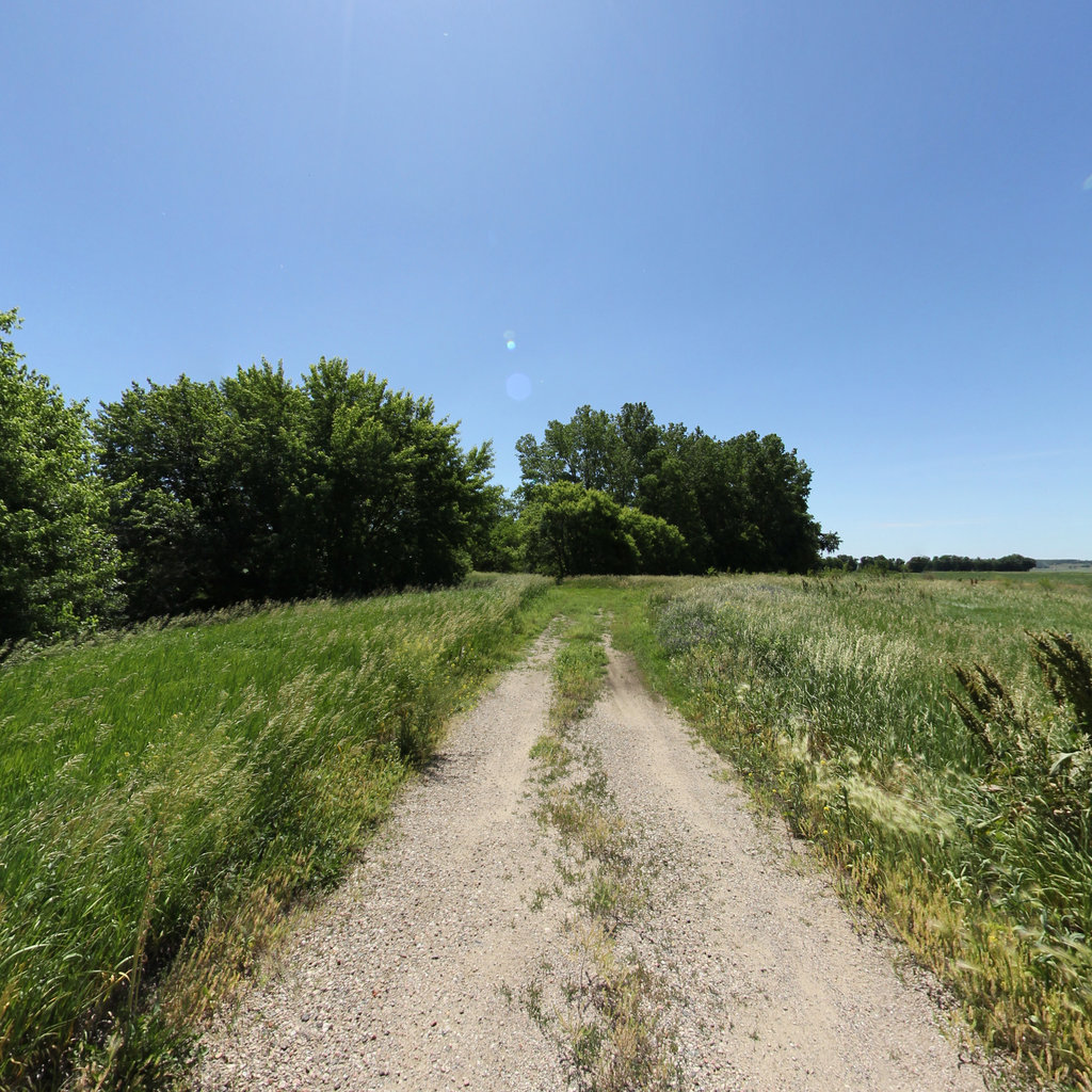
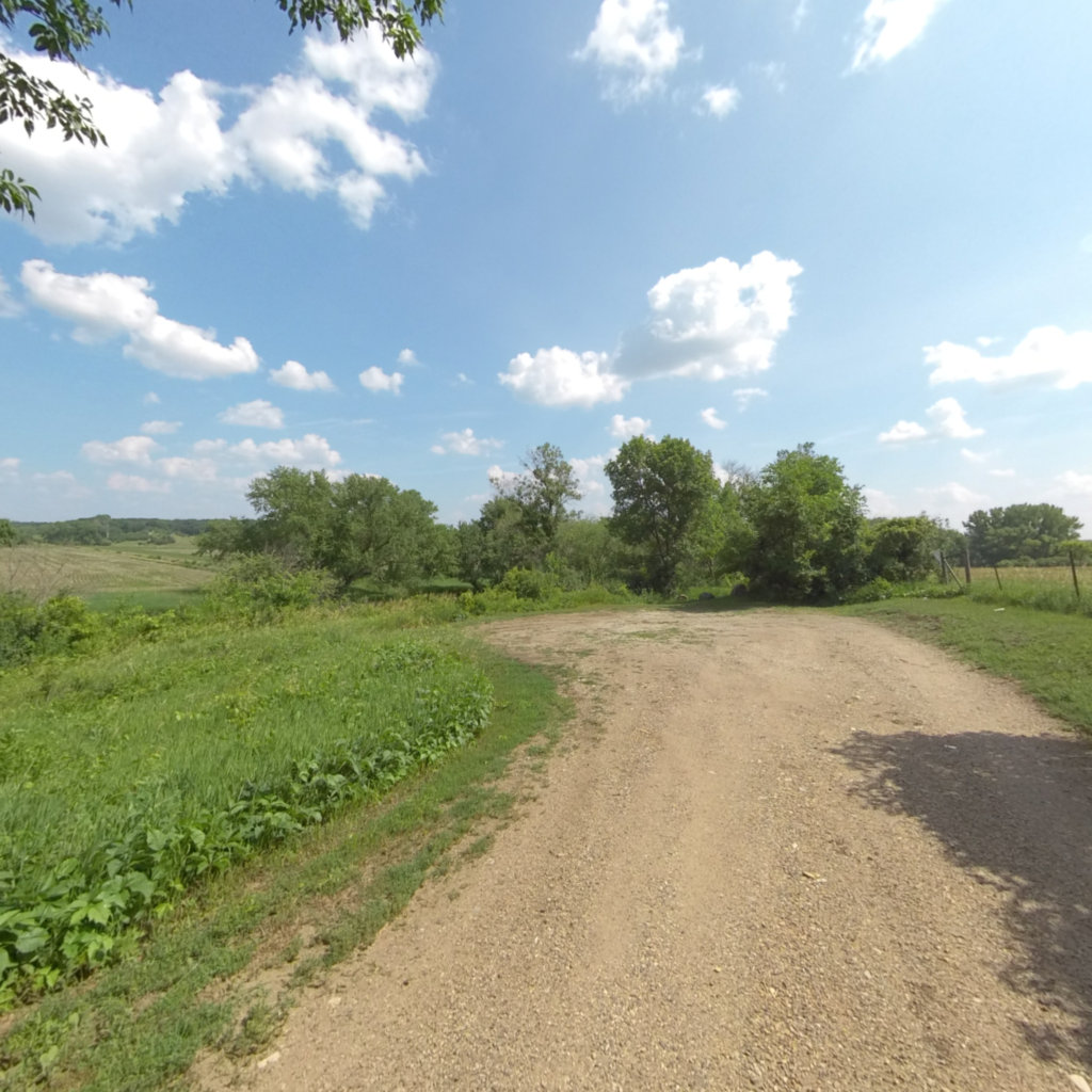
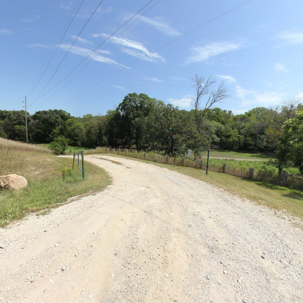
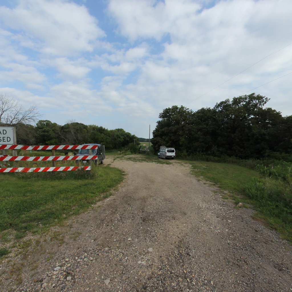
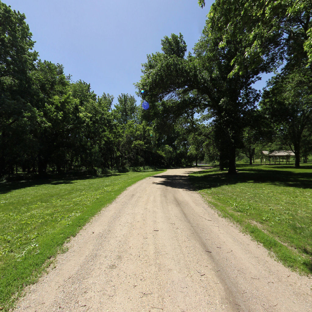
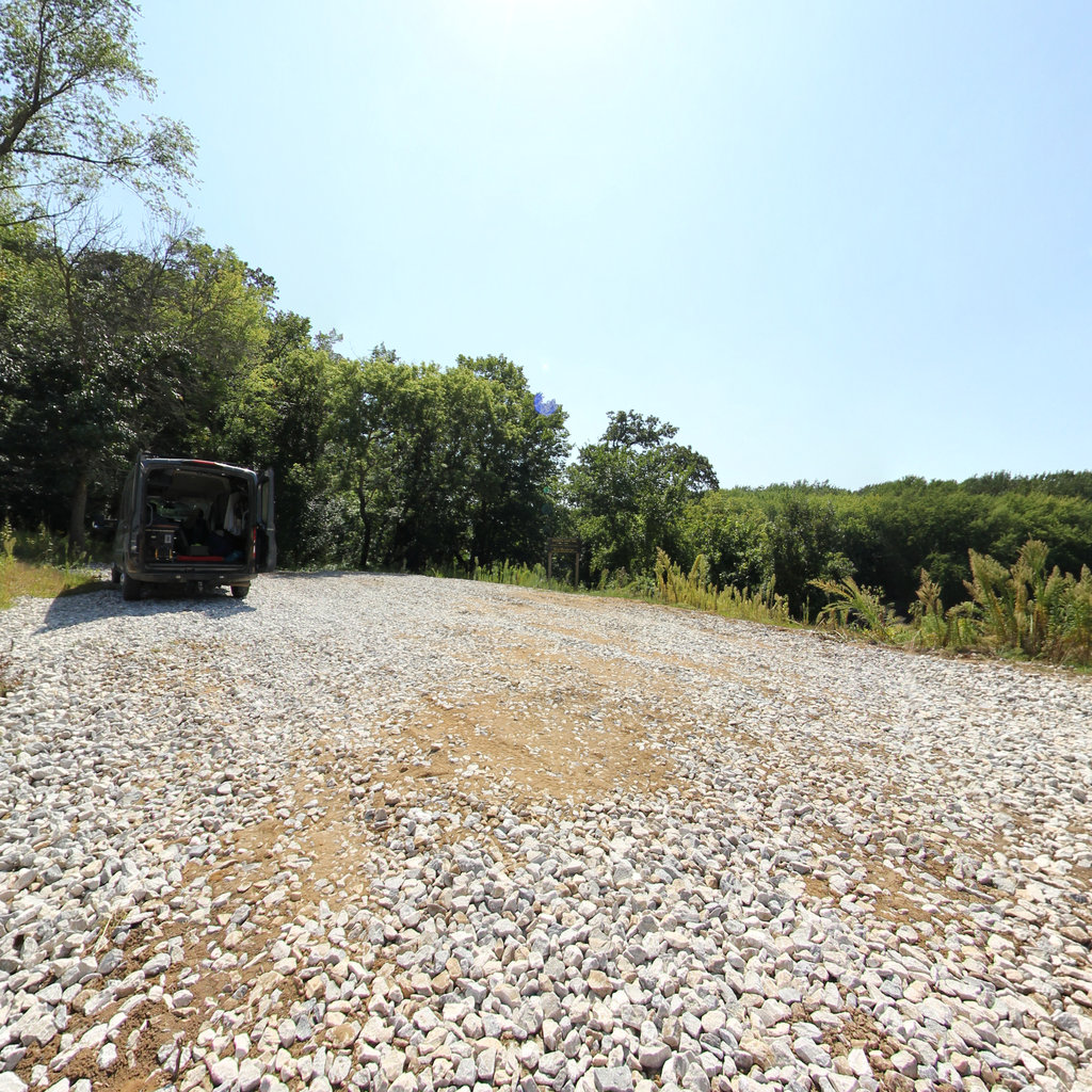
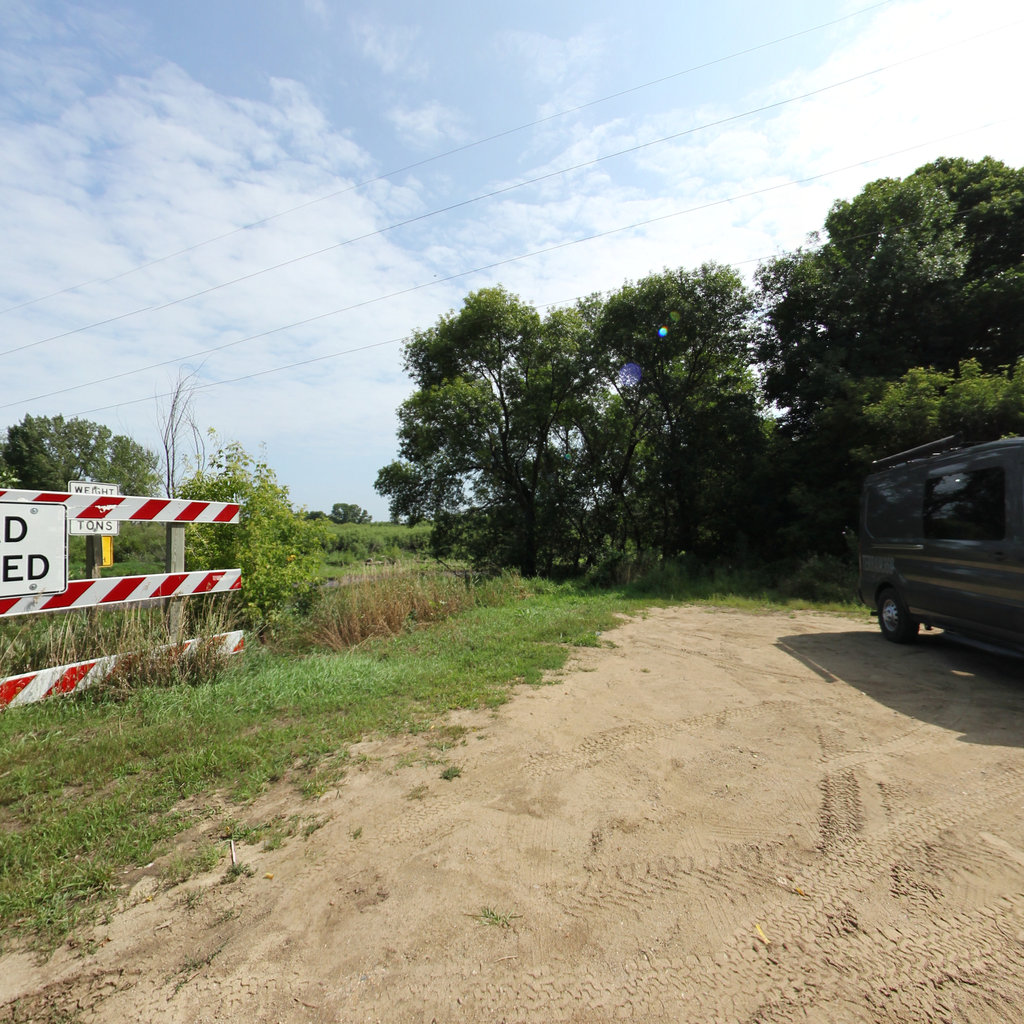
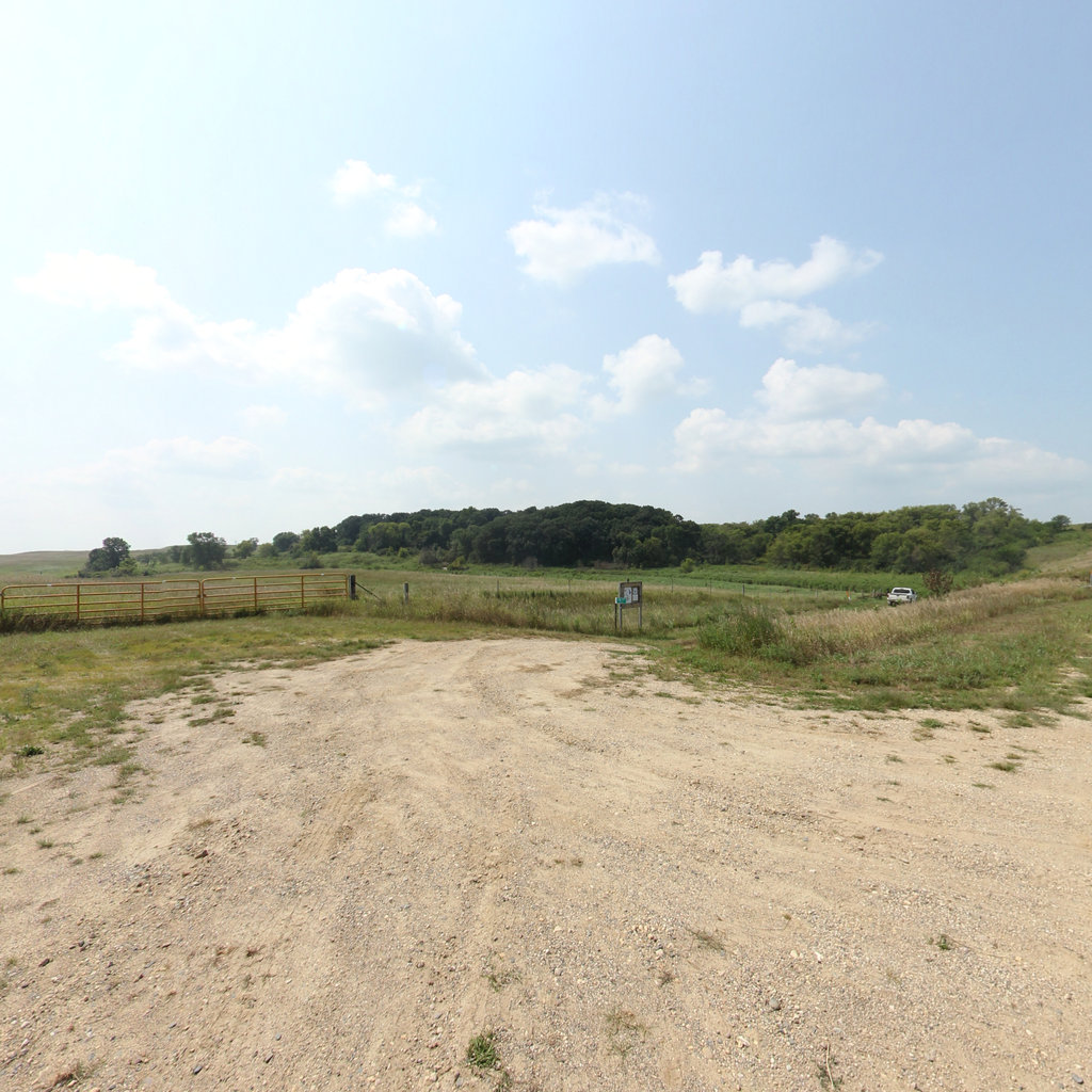
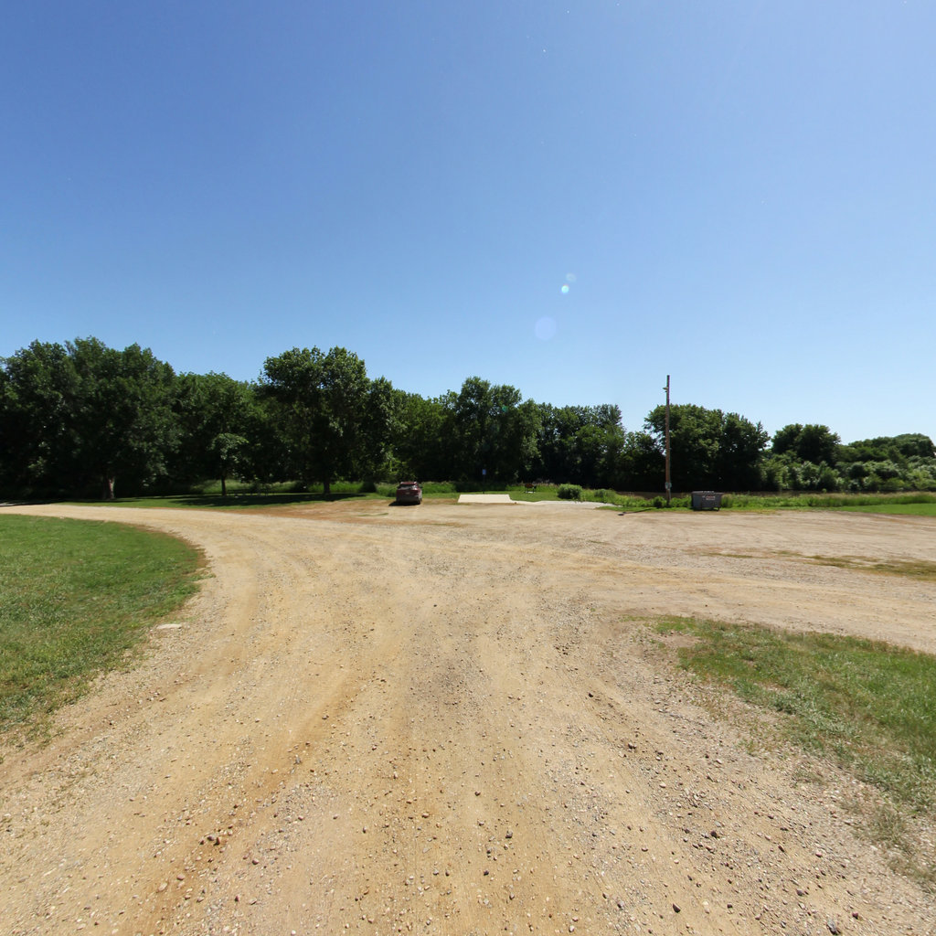
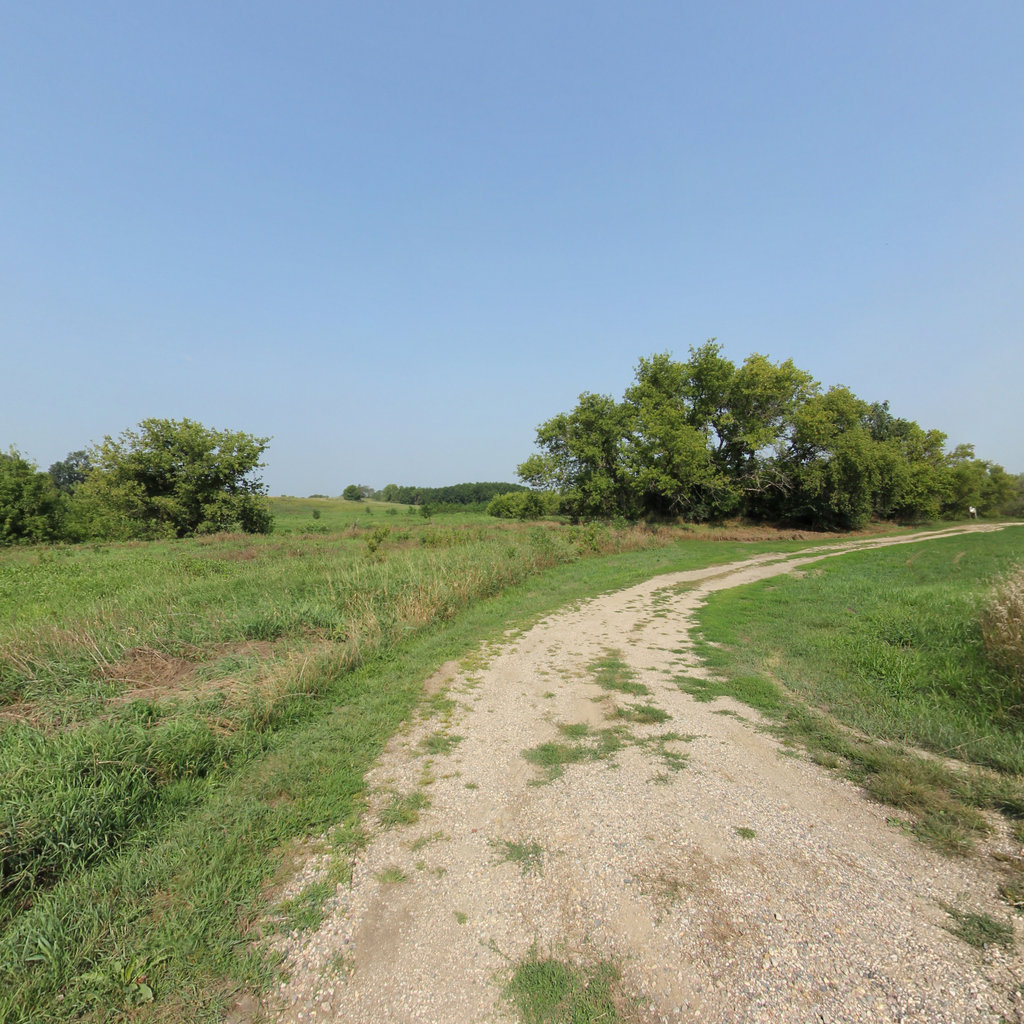
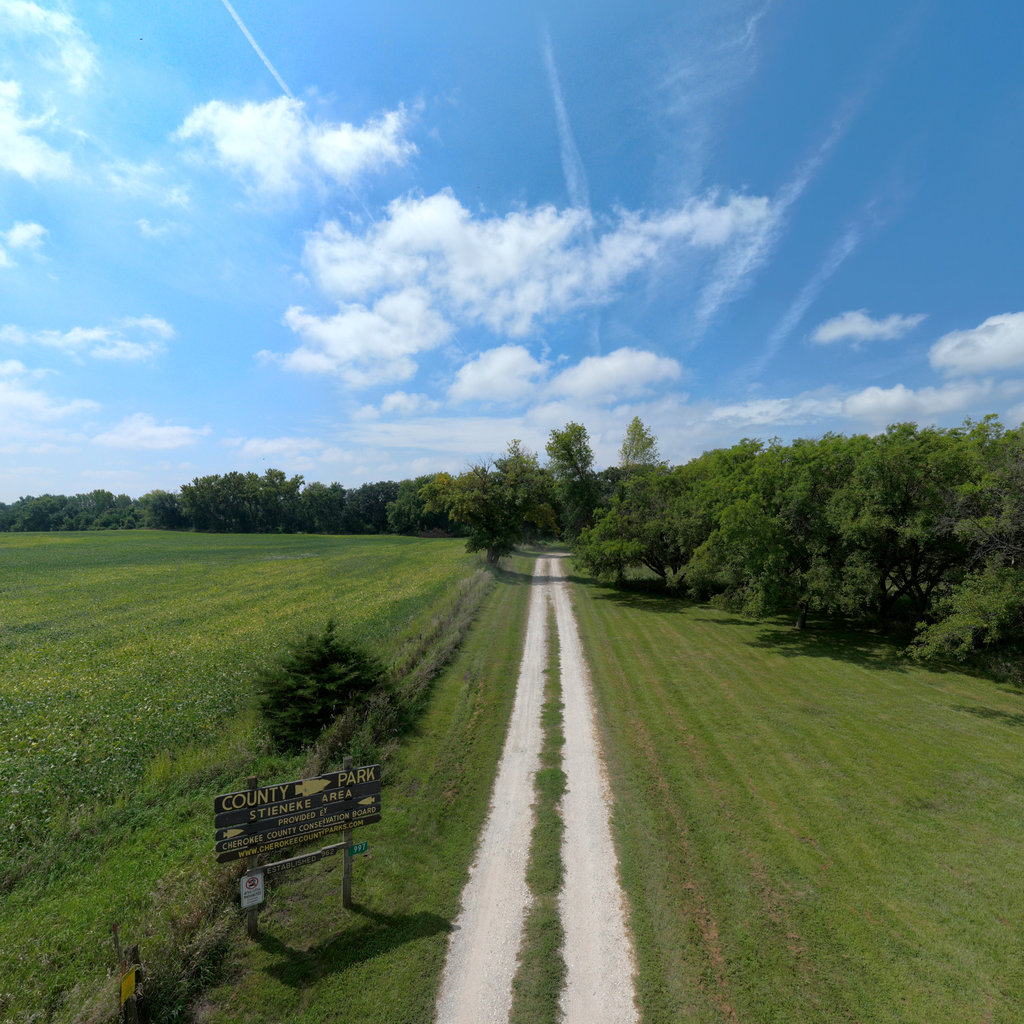
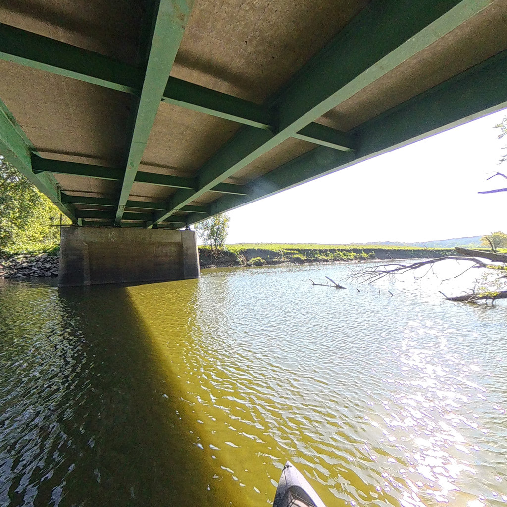
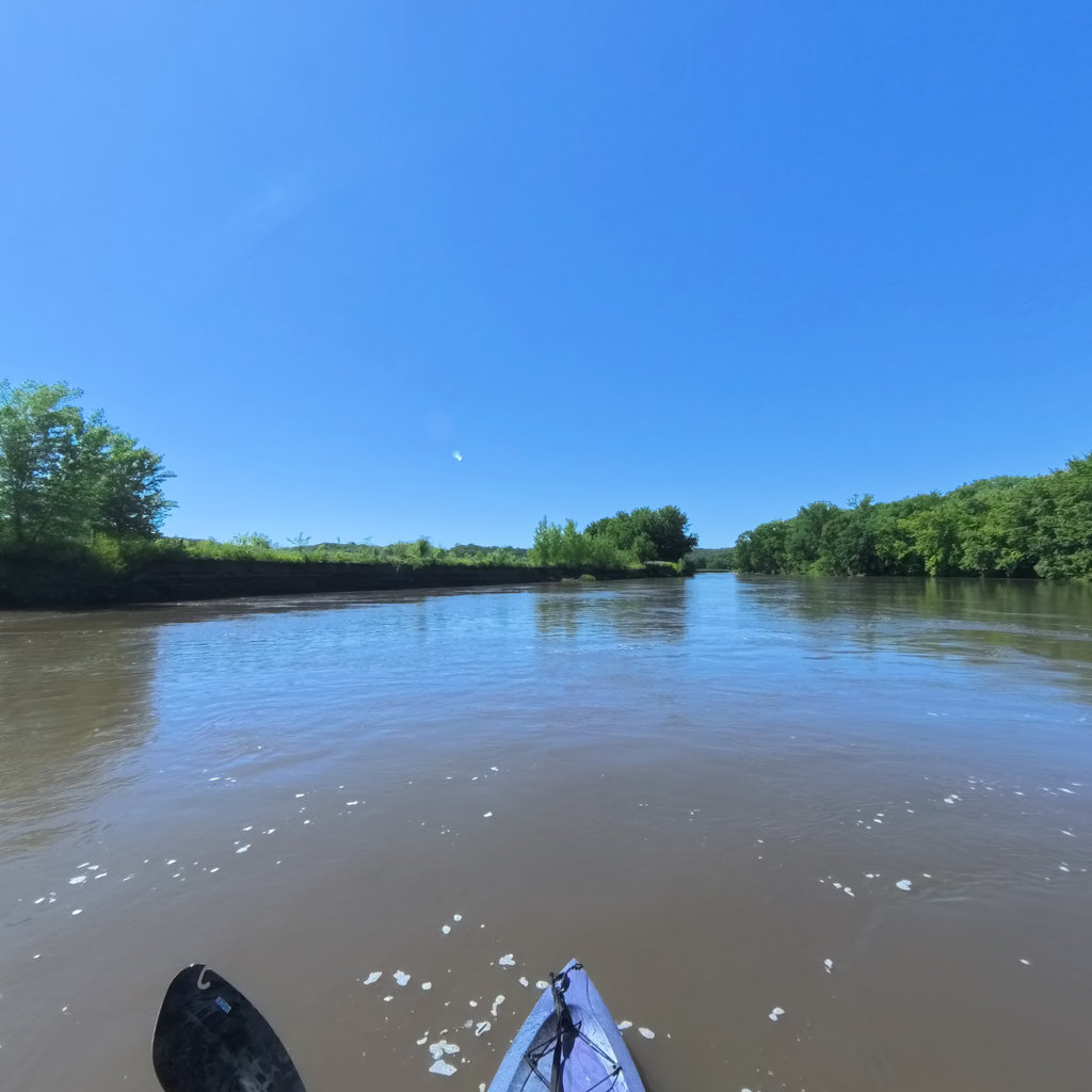
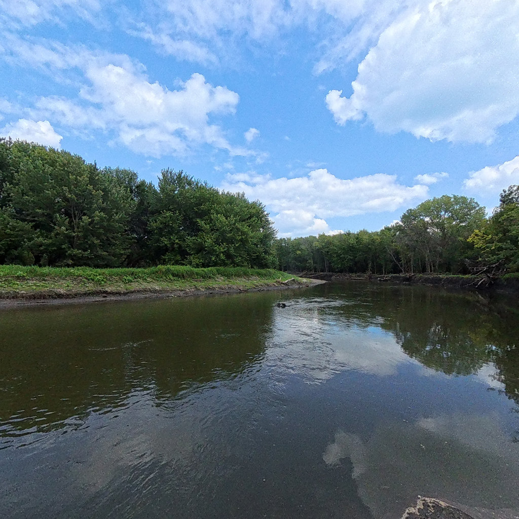
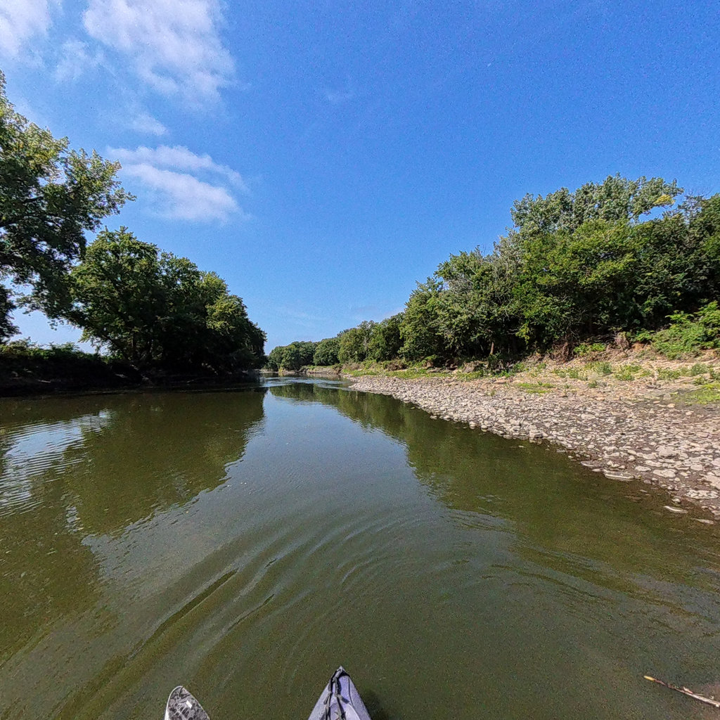
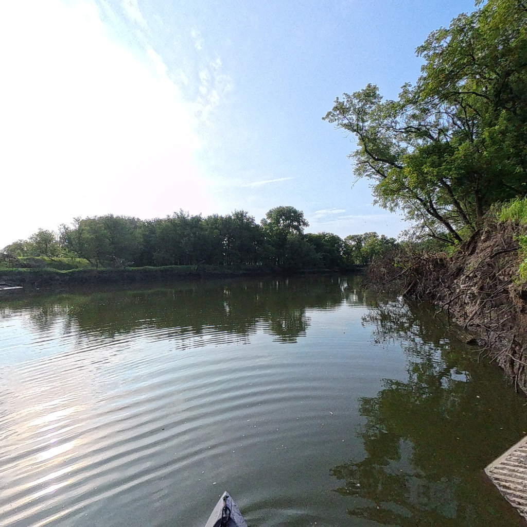
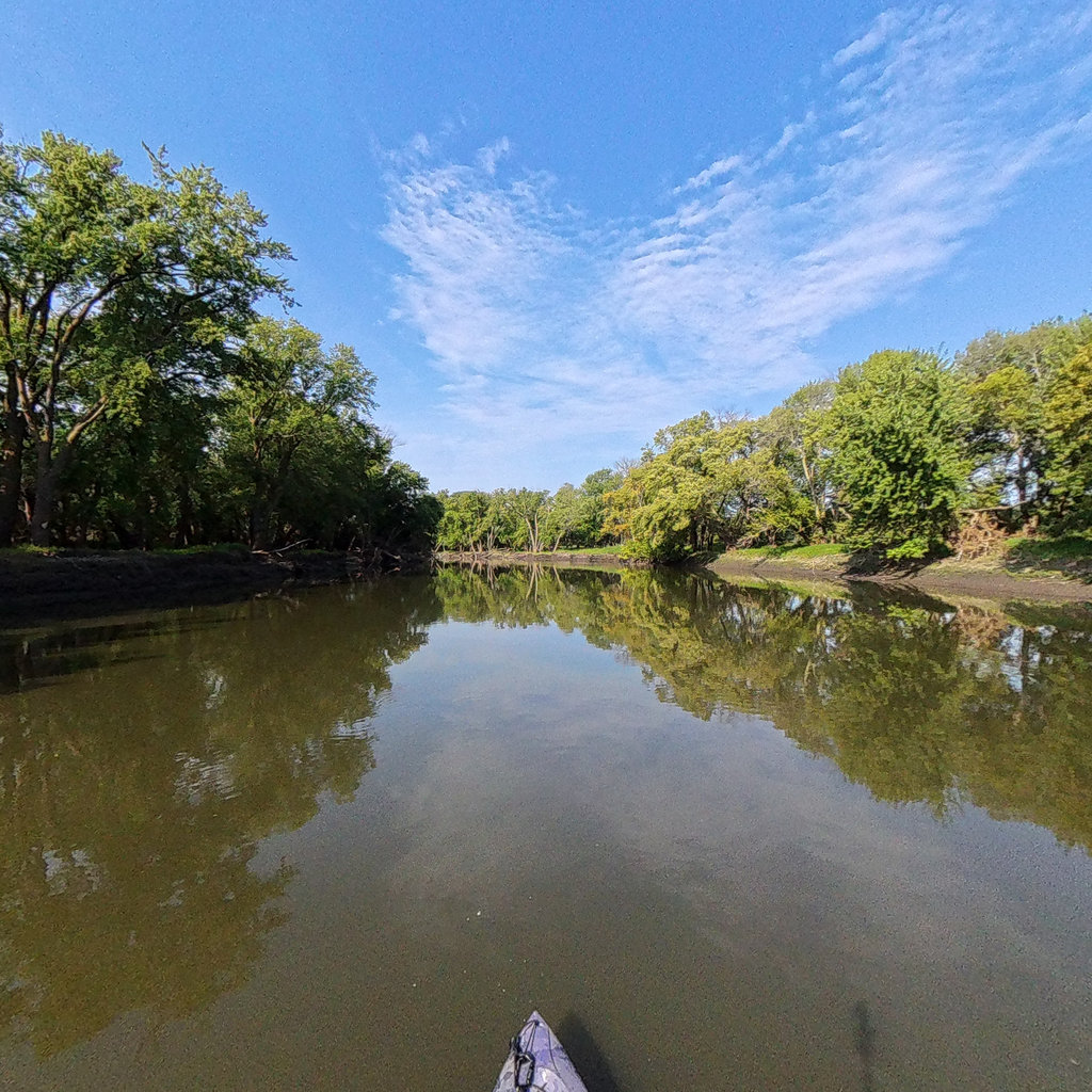
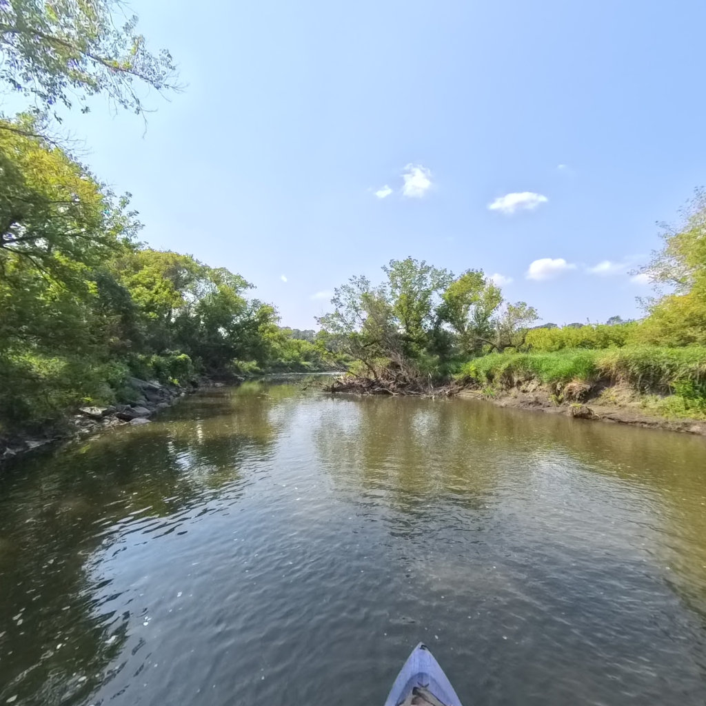
From the trail
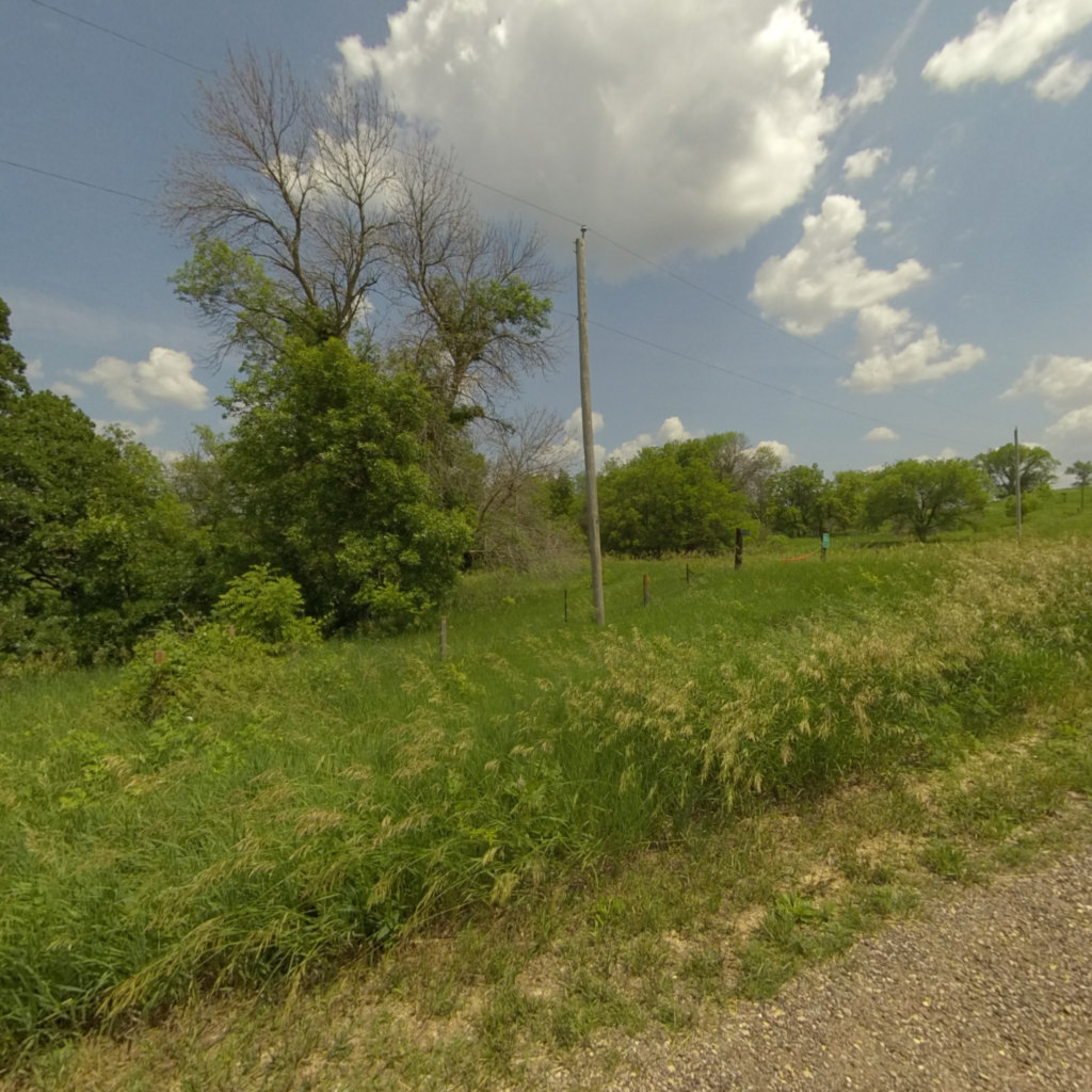
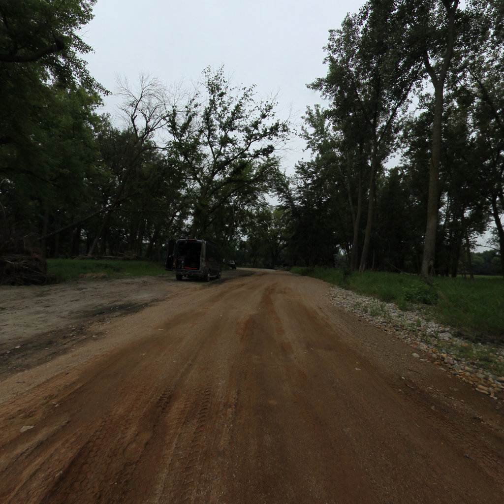
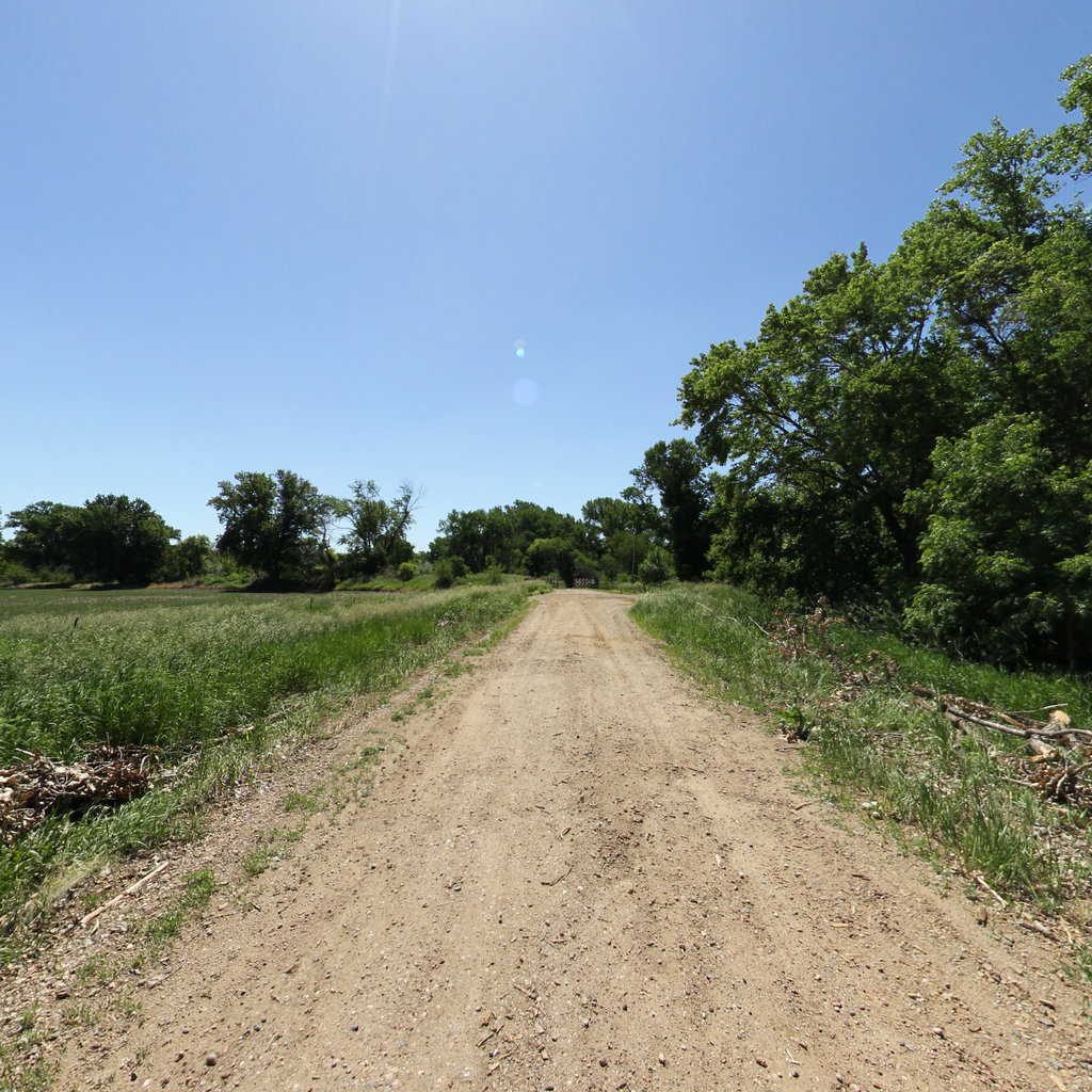
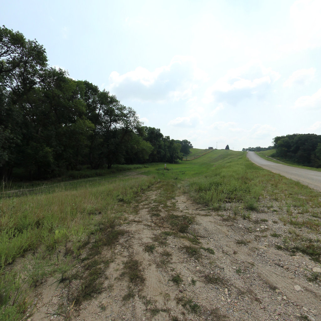
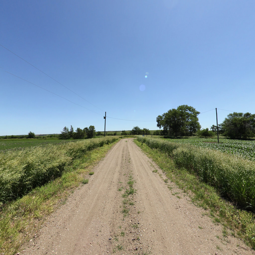
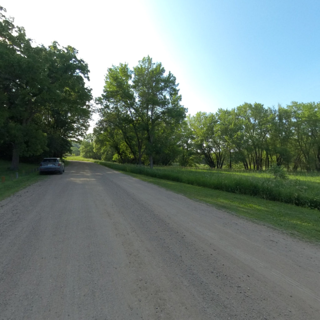
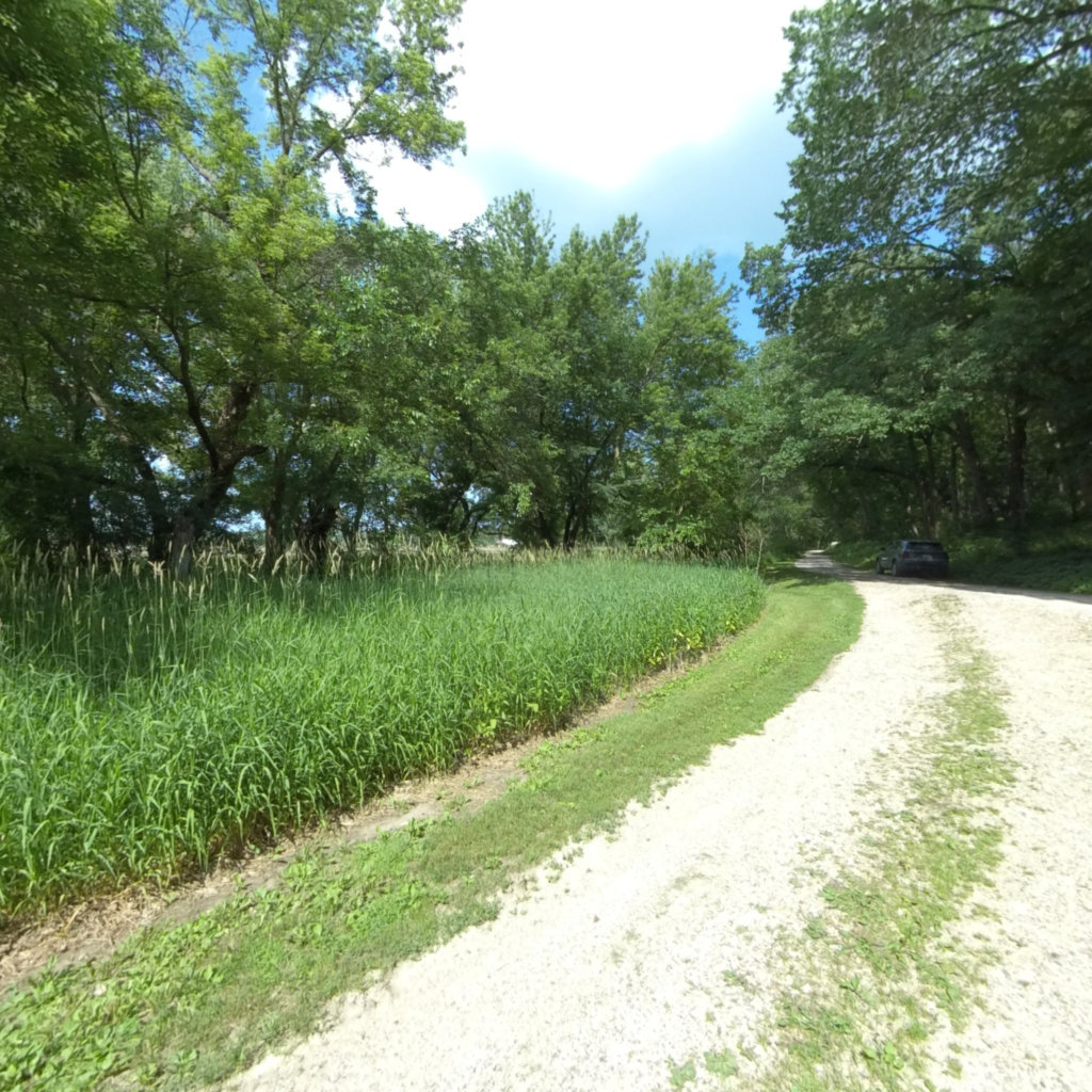
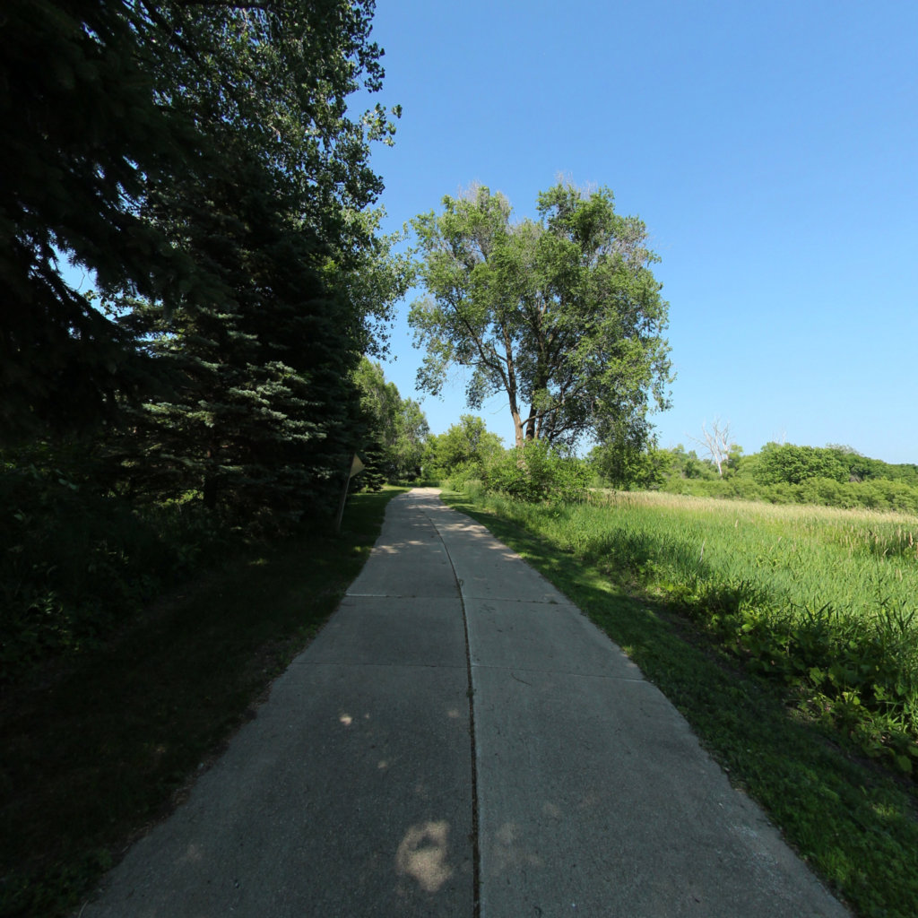
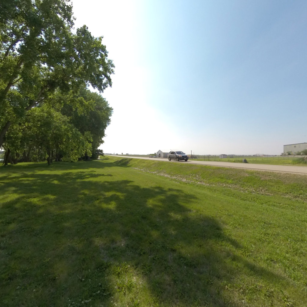
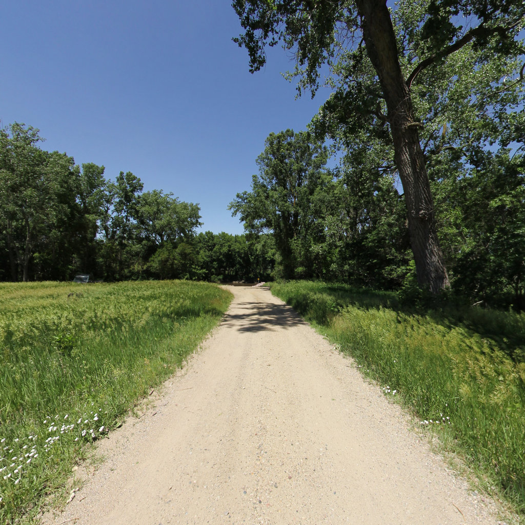
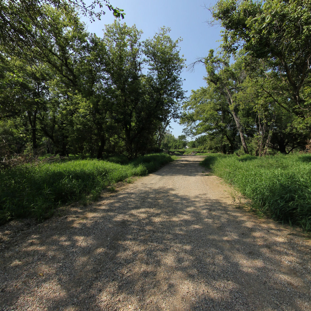
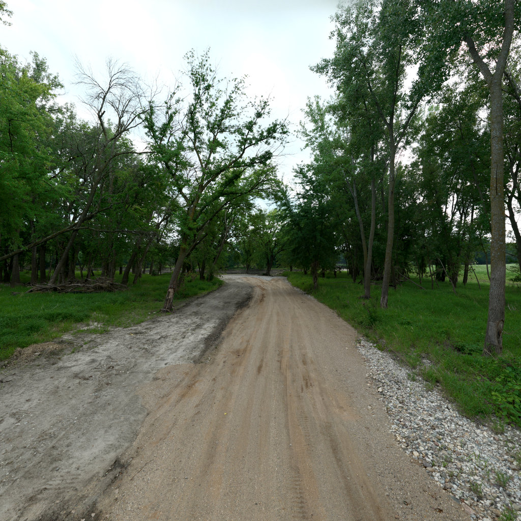
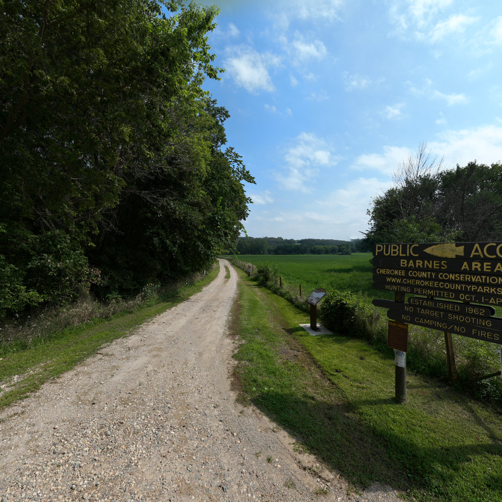
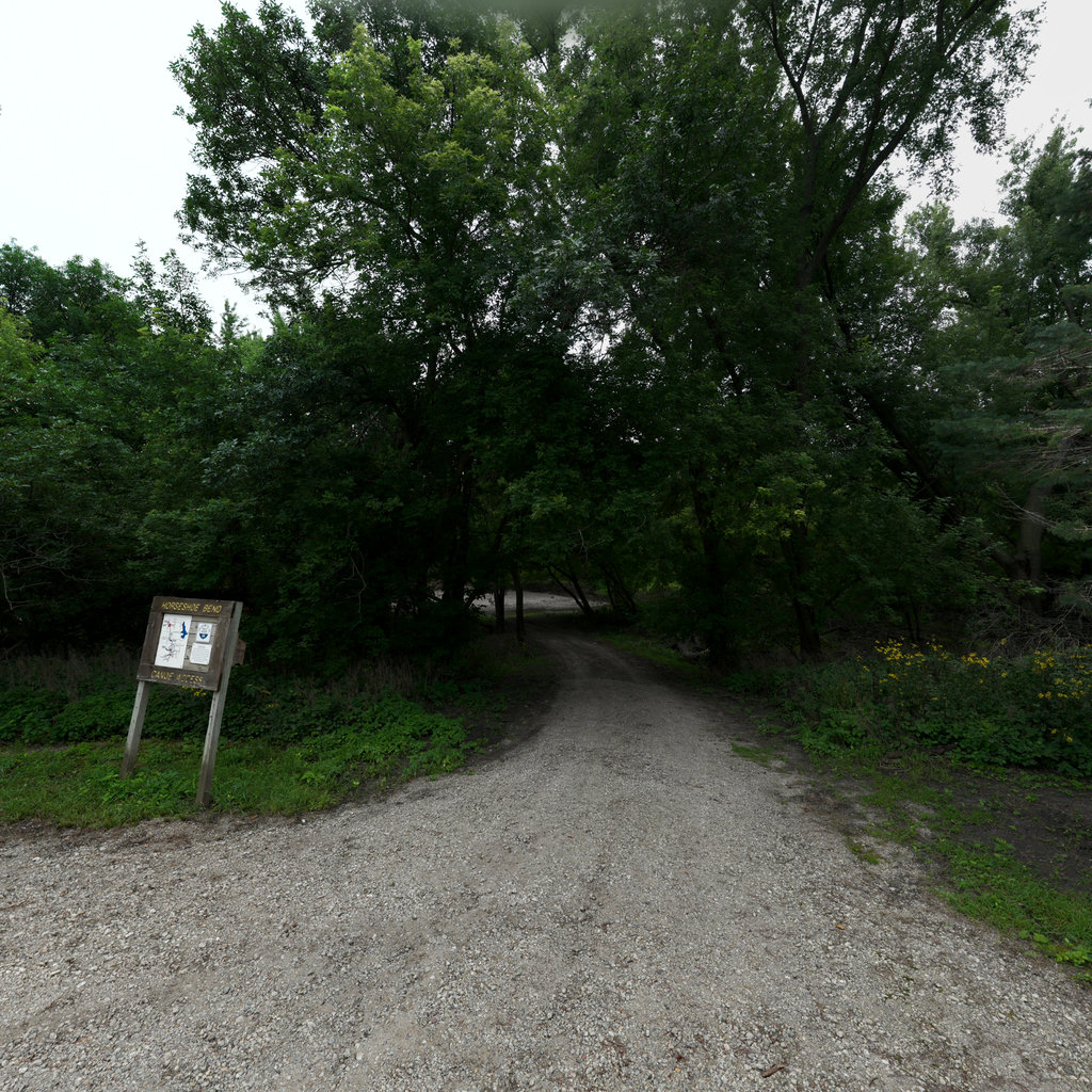
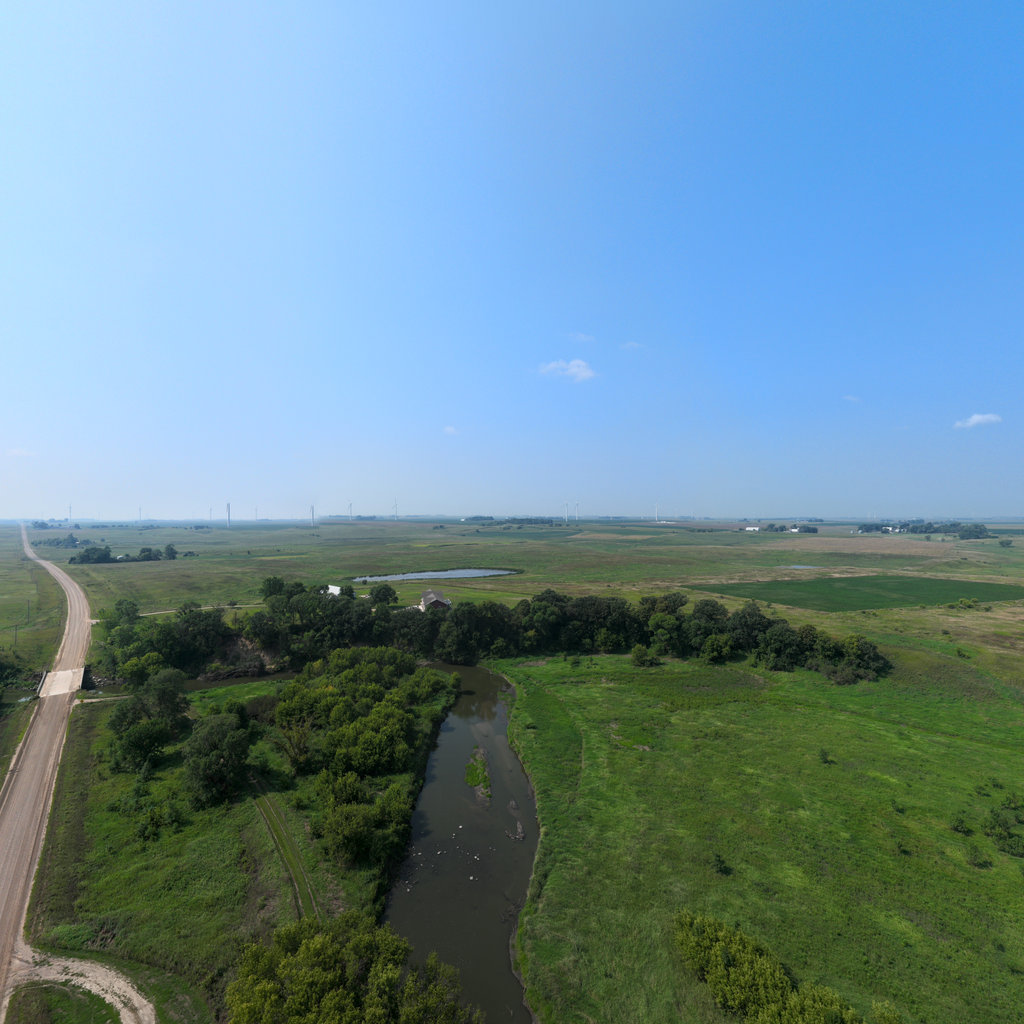
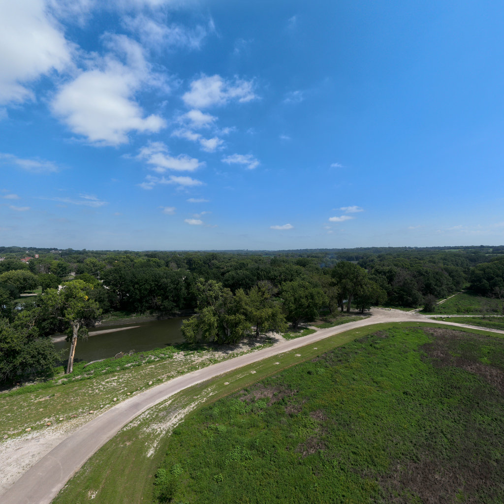
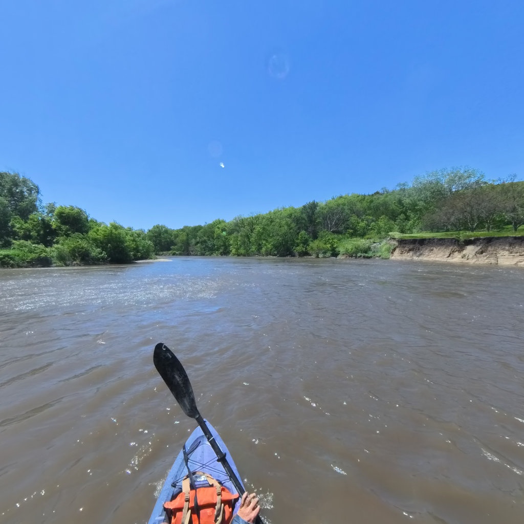
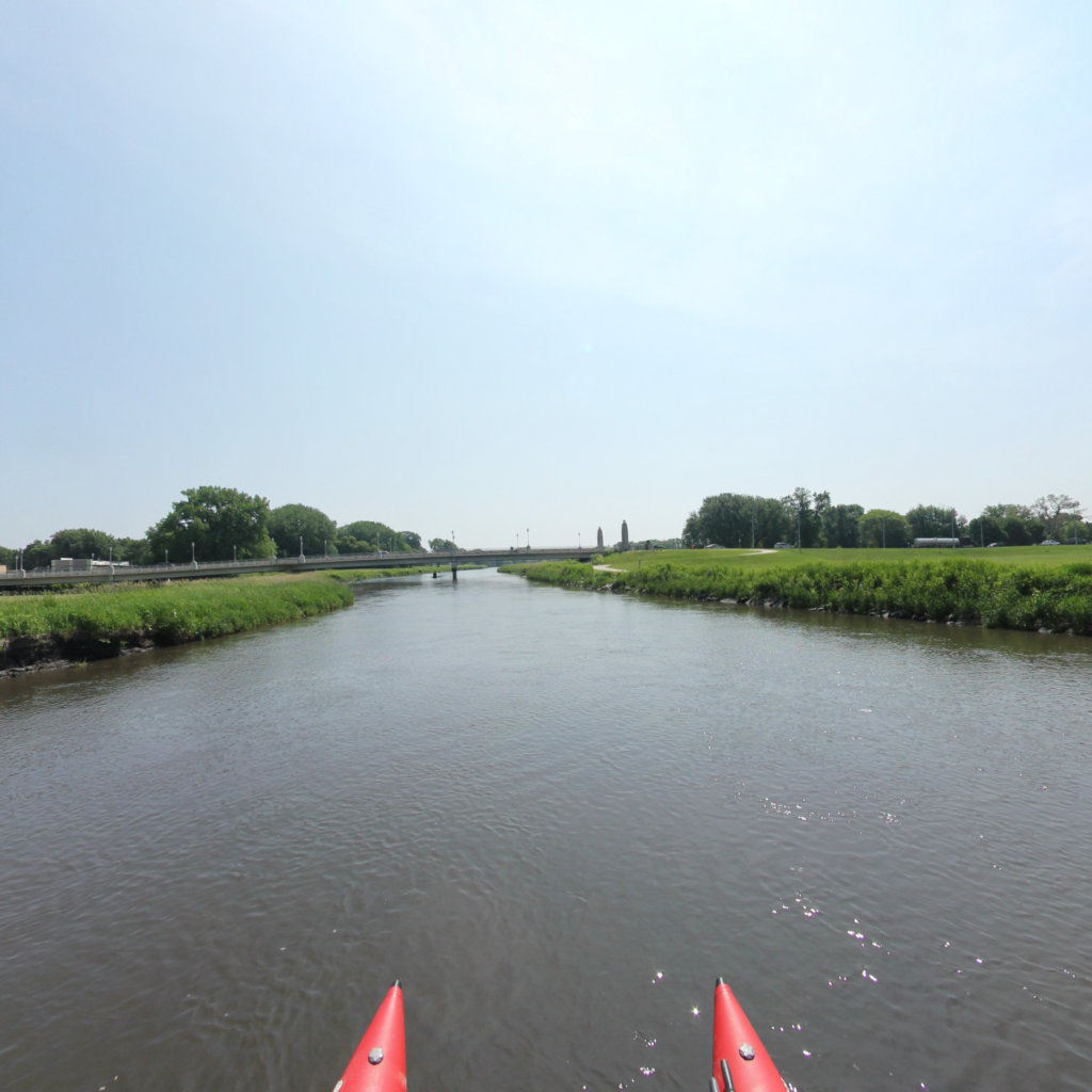
Ride along
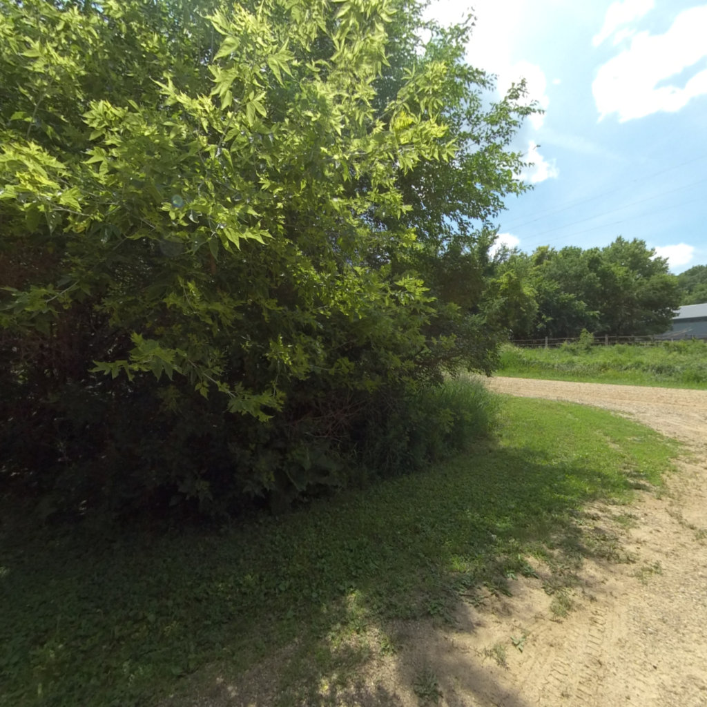
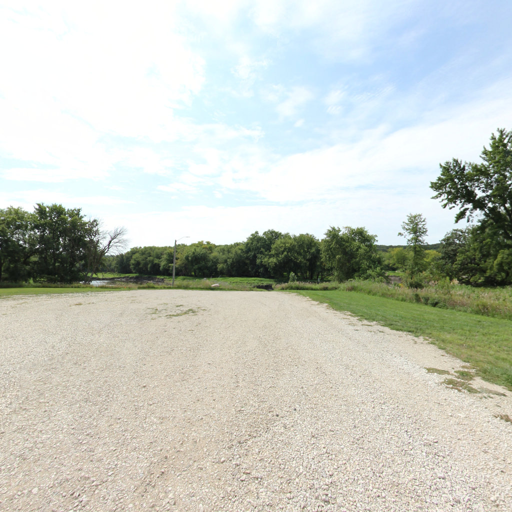
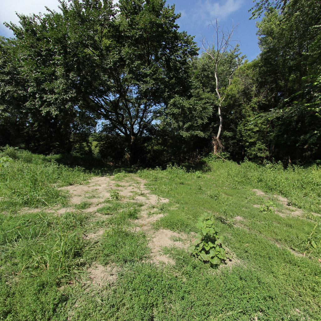
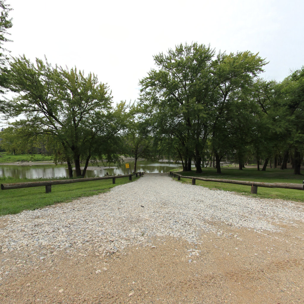
Explore the map
Click anywhere on the line to drop into that spot in 360°.