Explore
Custom Maps
AI & Vision
Features
Use Cases
Sentinel
About
Contact
☰
Map collection · A project with the US Forest Service
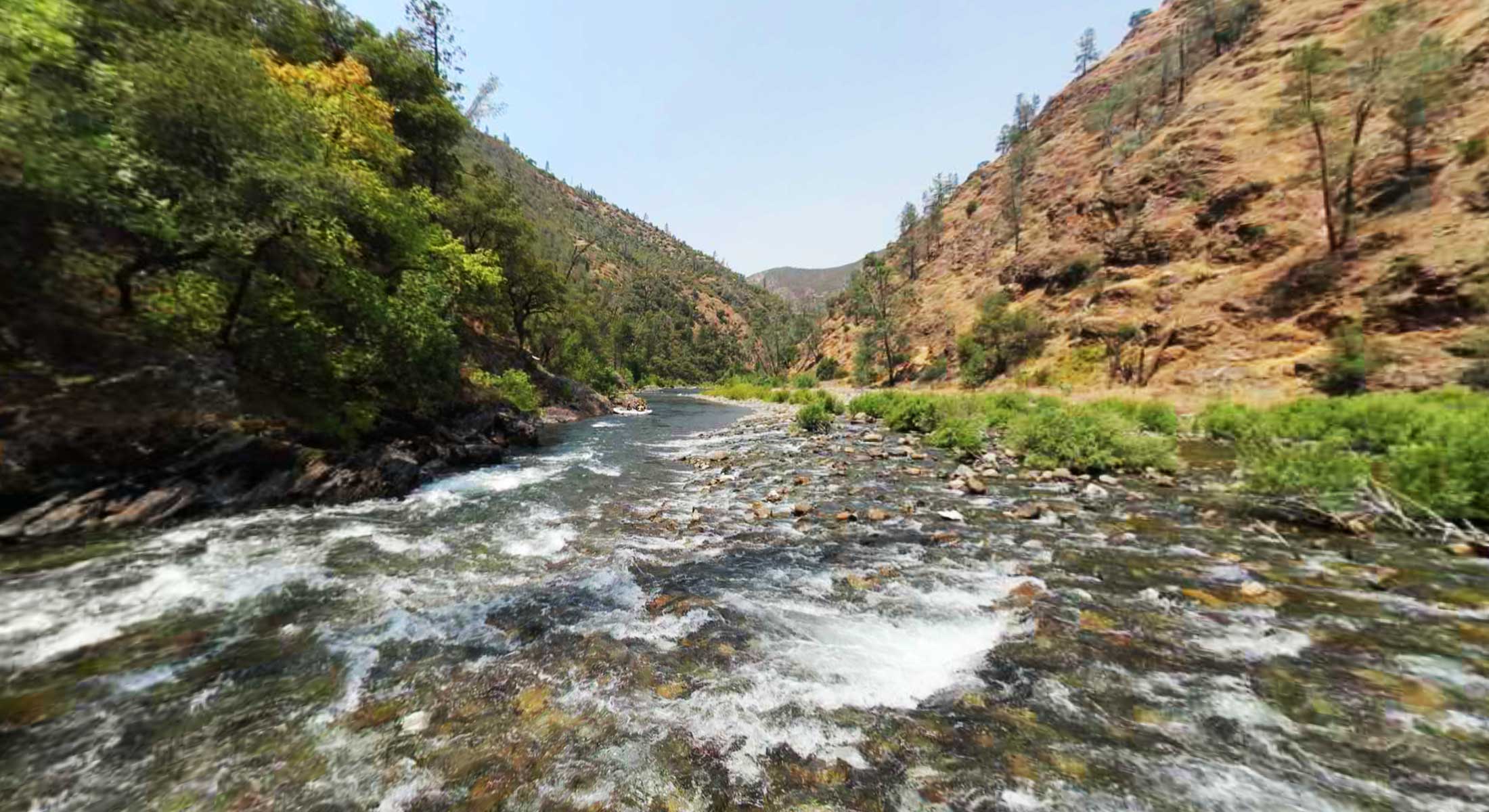
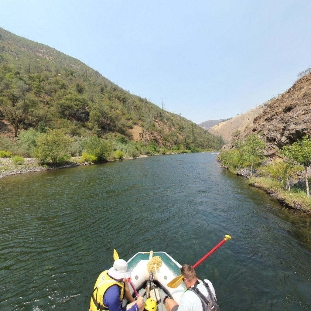
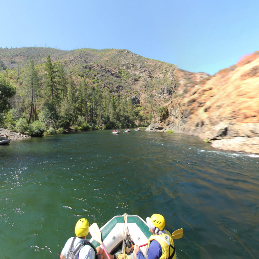
Tuolumne River
2
segments
18.7
miles
Project partner
Explore the map
Click anywhere on the line to drop into that spot in 360°.
Interactive · live map
Segment index
2 segments · grouped by area
Segments
2
Indian Springs to Wards Ferry Bridge
9.92 mi ·
37.885, -120.154
Lumsden Ramp to Indian Springs
8.81 mi ·
37.837, -120.054
No segments match your search. Try a trail or area name.
Browsing a large collection? The
interactive map
is the fastest way to find a specific spot.
Featured trail
Indian Springs to Wards Ferry Bridge
Explore Indian Springs to Wards Ferry Bridge →