Contact
Media Kit

Terrain360 brand & press resources

Logos, brand specifications, approved imagery and company background. Everything here is cleared for use in articles, event programs, partner materials and grant documents. No permission request needed.

Download all logos (ZIP)
Fact sheet

Terrain360 by the numbers

3,792
Documented routes
1.16M
360° scenes
40
States documented
2014
Capturing since

Figures reflect the Terrain360 corpus as of September 2026. Partners include the National Park Service, NOAA, the Bureau of Land Management, the U.S. Forest Service, state natural resource departments and conservation nonprofits.

Logos

Download the marks

Two colourways: brand blue for light backgrounds, white for dark. Each is available as SVG and PDF for print or scaling, and PNG for quick placement. Use vector wherever the software allows it.

Terrain360 full lockup, blue
Full lockup
Blue
Terrain360 full lockup, white
Full lockup
White
Terrain360 mark only, full colour
Mark only
Full colour
Terrain360 wordmark, blue
Wordmark
Blue
Terrain360 wordmark, white
Wordmark
White
Terrain360 single-colour die-cut mark
Single colour
For vinyl cutting, embroidery and one-colour print
Specifications

Colour & type

Terrain Blue
CMYK 82 48 8 0
Terrain Coral
CMYK 0 63 57 0
Typeface

The wordmark is set in League Gothic Regular. It is open source and free to install.

  • Clear space on all sides: at least the height of the O in TERRAIN360.
  • Minimum width: 120 px on screen, 1 inch in print. Below that, use the mark alone.
Naming & usage

Getting it right

  • Terrain360 — one word, no space, capital T, no space before the 360.
  • At the start of a sentence and in headlines, keep it as Terrain360.
  • Sentinel is a Terrain360 product. Write it Terrain360 Sentinel on first mention.
  • Credit imagery as Imagery © Terrain360.
  • Terrain 360, Terrain-360, TERRAIN360 or terrain360 in running text.
  • Recolouring the mark, or placing the blue wordmark on a dark background.
  • Stretching, rotating, outlining or adding effects to the logo.
  • Rebuilding the mark by hand — use the files above.

These permissions are granted formally in section 03 of our Terms & Conditions — you don't need to ask, and you can cite that clause if your editor or legal team wants it in writing.

For publishers

Embed a live 360° scene

Rather than a flat screenshot, you can drop a pannable Terrain360 scene straight into an article. Paste this anywhere that accepts HTML, and swap the trail slug for any route on the site. No API key, no attribution burden beyond the credit line above.

Live preview — Angel's Landing, Zion National Park, Utah. Drag to look around.
Copy this snippet
Imagery

Approved press images

Cleared for editorial use with the credit line Imagery © Terrain360. Right-click to save, or click through for the full-resolution file.
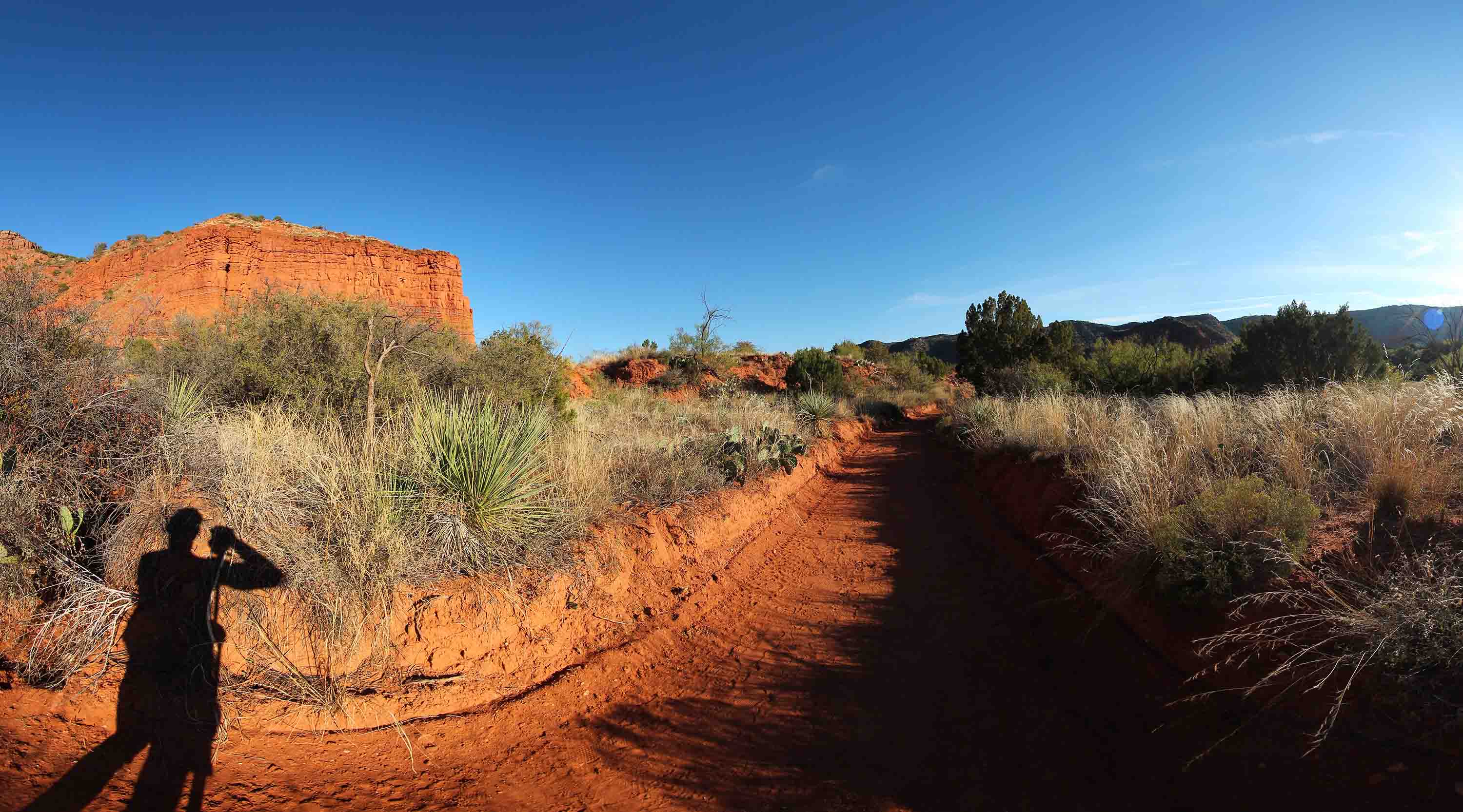
Caprock Canyons State Park, Texas
JPEG · 3000 × 1666
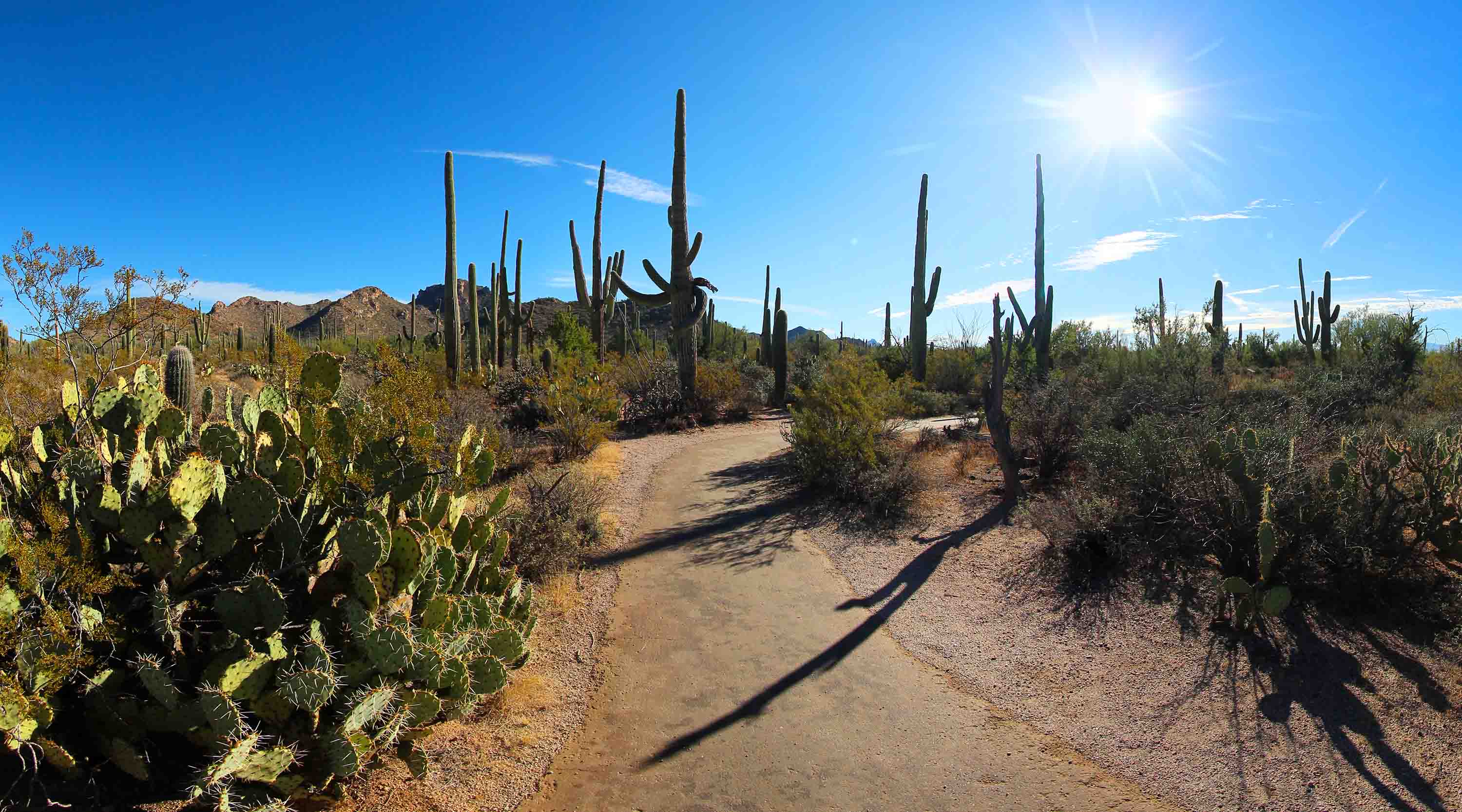
Saguaro National Park, Arizona
JPEG · 3000 × 1666
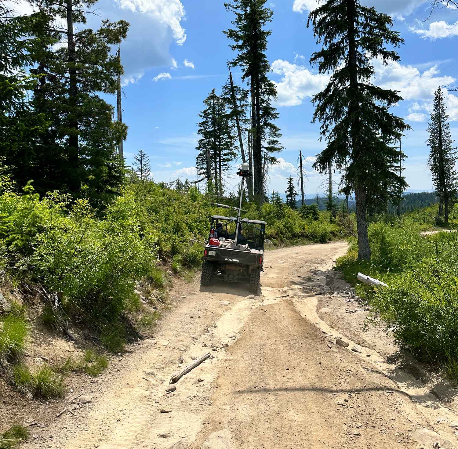
Lolo Trail, Lewis & Clark National Historic Trail
JPEG · 1500 × 1471
Boilerplate

About Terrain360

Terrain360 builds georeferenced 360° baseline records of trails, rivers and public lands. Corridors are captured at survey-grade positional accuracy and delivered as an interactive record that can be revisited at any point in the future — the same view a site visit would produce, available to everyone who needs it.

Terrain360 supports the National Park Service, NOAA, the Bureau of Land Management, the U.S. Forest Service, state land managers and conservation nonprofits, with more than 1.1 million scenes documented across 40 states since 2014.

Free to quote or paste in full, edited for length as needed.

Contact

Press enquiries

Ryan Abrahamsen
Founder, Terrain360
Start a project