Terrain360 dataset catalog · 17 September 2026
Outdoor imagery,
selected for your geography.
Start with imagery Terrain360 has already captured. Explore river corridors, trails, access sites, forests, mountain terrain and other outdoor landscapes. License the selection your project needs.
From archive to projectChoose a place. Define the use. Receive an exact selection.
Browse the existing catalog by state, river, trail or park, and save the collections you need. For a custom project area, draw a boundary or upload a GeoJSON polygon in the area selector. Review candidate scene counts and capture dates, then request a scoped quote. We confirm the matching source scenes, capture dates, image quality and deliverable formats before an order is accepted.
Selections can include ground or aerial imagery where those captures are available and verified. Coverage records support discovery; a catalog count is not a promise that every record is ready for immediate download. Historical imagery does not establish current access or site conditions.
 Prepared selection
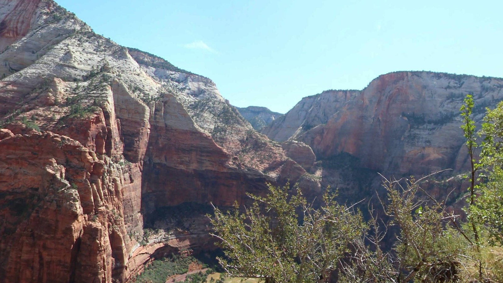
Angels Landing: ridge and canyon views
Eight selected source scenes captured on 5 August 2013. Native assembled cube faces, reconstructed panoramas, previews, geographic metadata and a searchable index.
$500 before applicable taxAI training/evaluation
Review files and license →
 River imagery
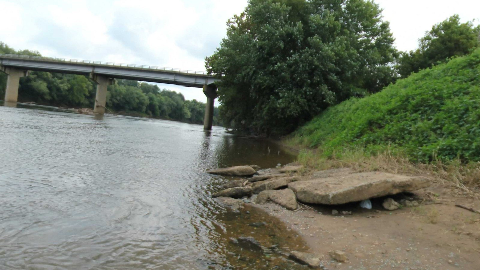
James River access sites
Explore selected boat landings, shorelines and access infrastructure. The current demonstration uses historical captures from 2012 and 2020. Larger or smaller geographic selections are quoted to scope.
Explore James River coverage →
 Trail imagery
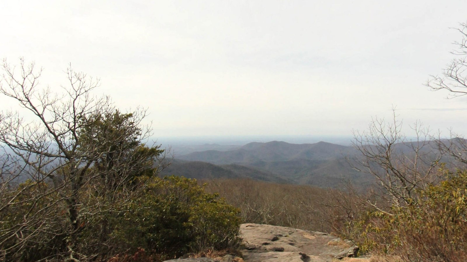
Appalachian Trail selections
Review forest paths, rock overlooks and trail-associated access features from selected archive sections. The current demonstration was captured in 2013. Exact sections and dates are specified in the quote.
Explore trail coverage →Price the data in the selection.
Custom reaches and geographic areas are quoted using the unique source scenes delivered, the source quality and resolution, requested formats, and the purchased use license. A panorama, its cube faces and generated views are representations of the same capture. Overlapping collections are counted once.
Small curated or individually selected imagery and bulk corridor collections have different pricing structures. The $500 Angels Landing offer applies to that named eight-scene pack. It is not a universal price for rivers, trails or polygons. Annotation, special preparation and future refresh are separately scoped.
Build a selection brief or draw an area and request a quote. The accepted order identifies the total price, exact files and permitted use.
Use the imagery for your task.
Possible projects include computer-vision training and evaluation, scene retrieval, segmentation, outdoor robotics perception research, GIS visualization, environmental baselines, recreation and access inventories, and media or immersive experiences. Each requires the appropriate purchased rights and imagery suited to the task.
We can also scope annotations for visible paths, surfaces, ramps, docks, signs, vegetation, shoreline features and other buyer-defined classes. RAPG or MS4-related image observations can be included where the imagery supports the agreed method. Definitions, review criteria and acceptance requirements are set for each project; image labels alone do not establish regulatory compliance or replace field verification.
AWS procurementPreparation and annotation services are on AWS Marketplace.
Terrain360 Imagery Preparation and Annotation for AWS starts with Terrain360's existing imagery archive. We agree on the selection, review work, metadata, labels and delivery, then scope a customer-specific services offer.
The AWS offer covers the agreed preparation or annotation work. Source-imagery licensing is explicitly addressed separately. The standalone imagery product is not currently purchasable through AWS Data Exchange.
View Terrain360 on AWS Marketplace ↗
Start with a sample or a project area.
Prepared-pack buyers can create an account, review the exact license and pay through Stripe hosted checkout. After verified payment, the account receives private download access to the purchased release. Custom geographic selections begin with a quote.