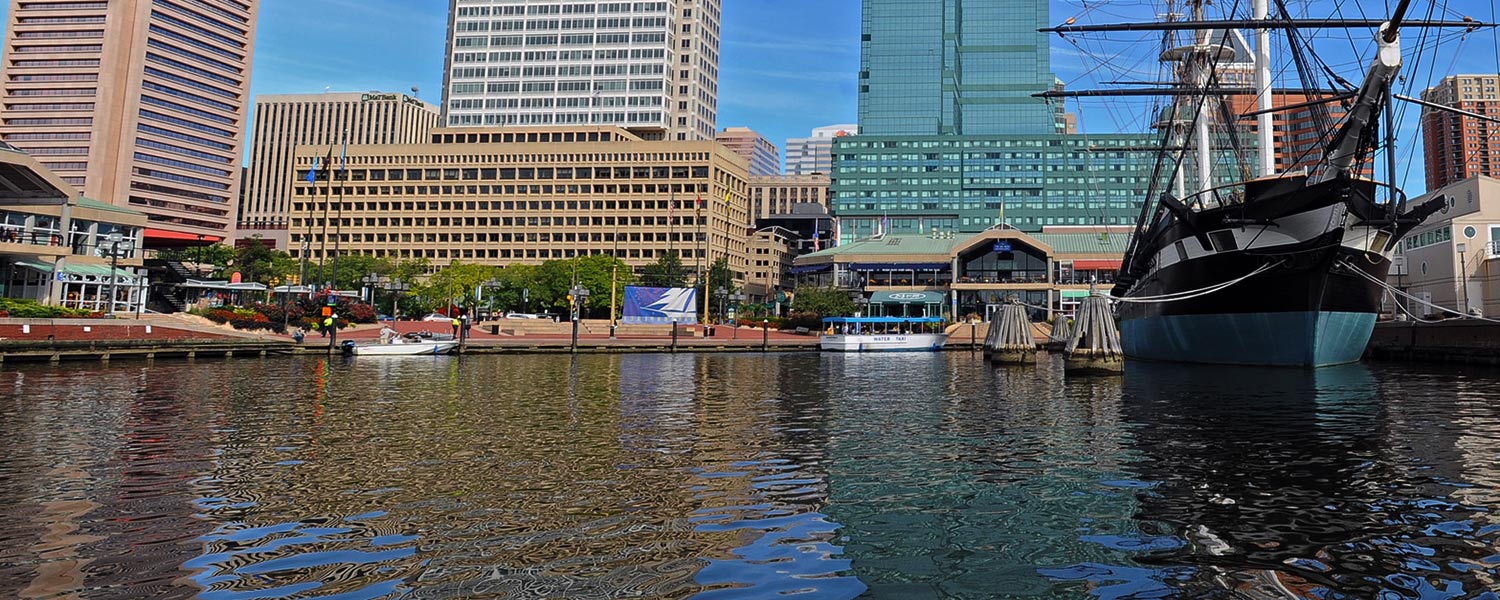
Baltimore Inner Harbor
Project Partners

Click on any trail to explore in 360°
While Baltimore has been a major U.S. seaport since the 18th century, the historically shallow water of the Inner Harbor (prior to manipulation through dredging) was not conducive to large ships or heavy industry.
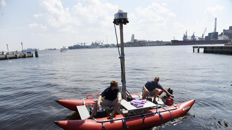
"Virtual tours of the Chesapeake rivers, the Baltimore Harbor and the John Smith Trail are one way we're using technology to inspire people to care for the Chesapeake, to encourage them to get outside and get on the water," said Joel Dunn
Chesapeake Conservancy
Jody Couser
info@chesapeakeconservancy.org
716 Giddings Avenue Suite 42
Annapolis, MD 21401
(443) 321 3610

Georeferenced 360° documentation for trails, rivers, and outdoor assets. Trusted by federal and state land managers.


