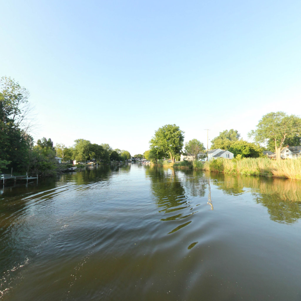
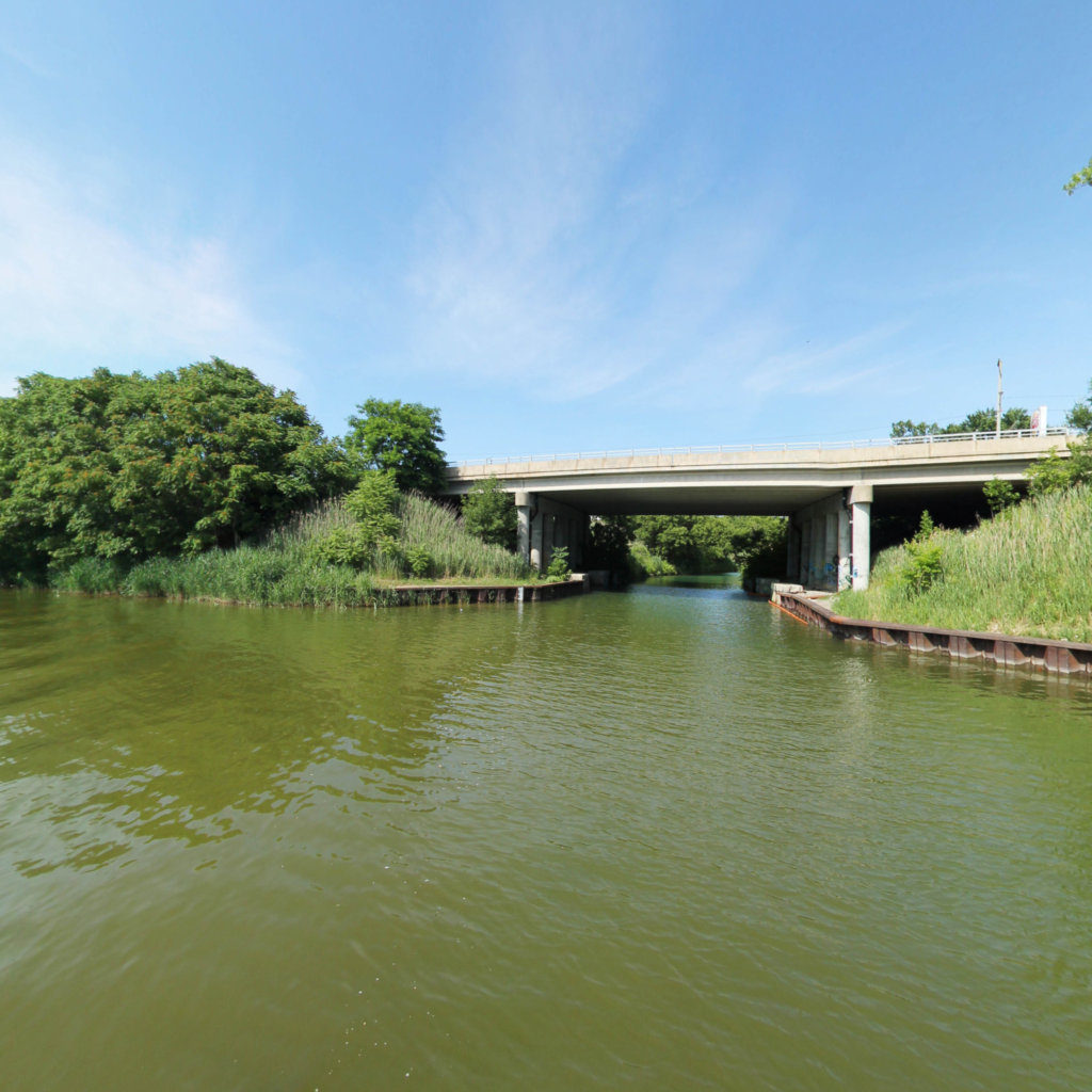
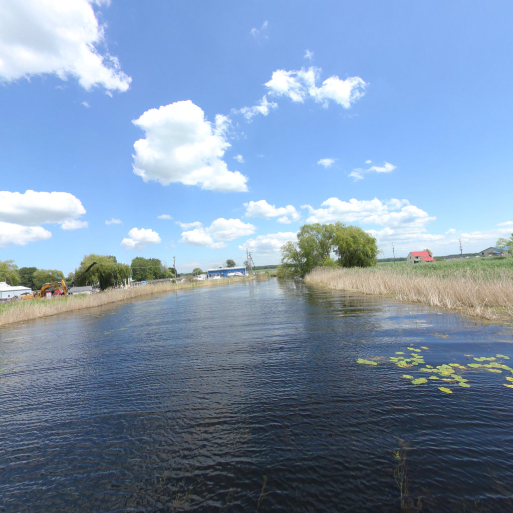
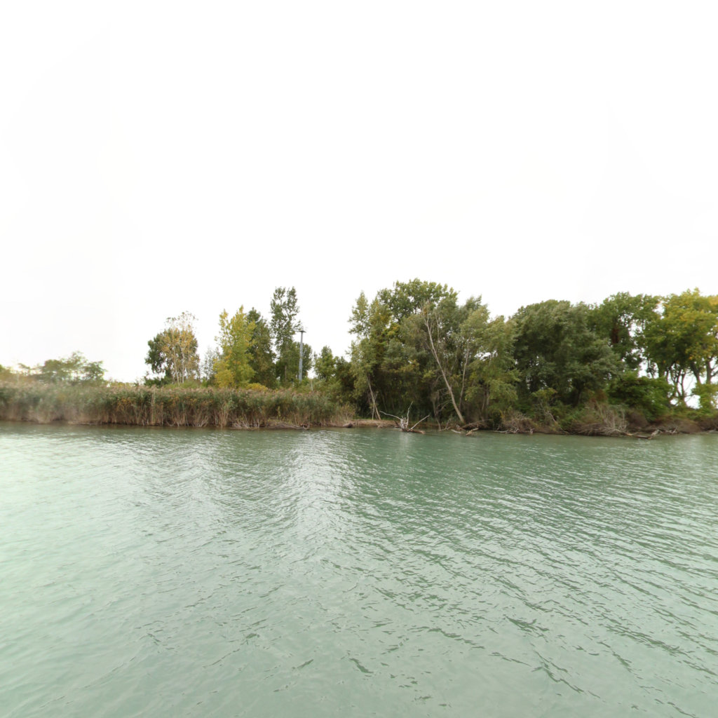
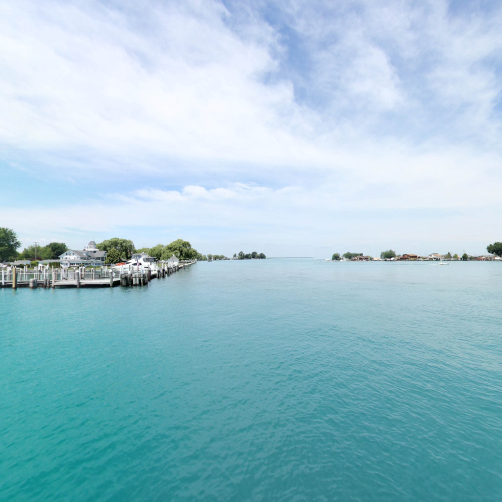
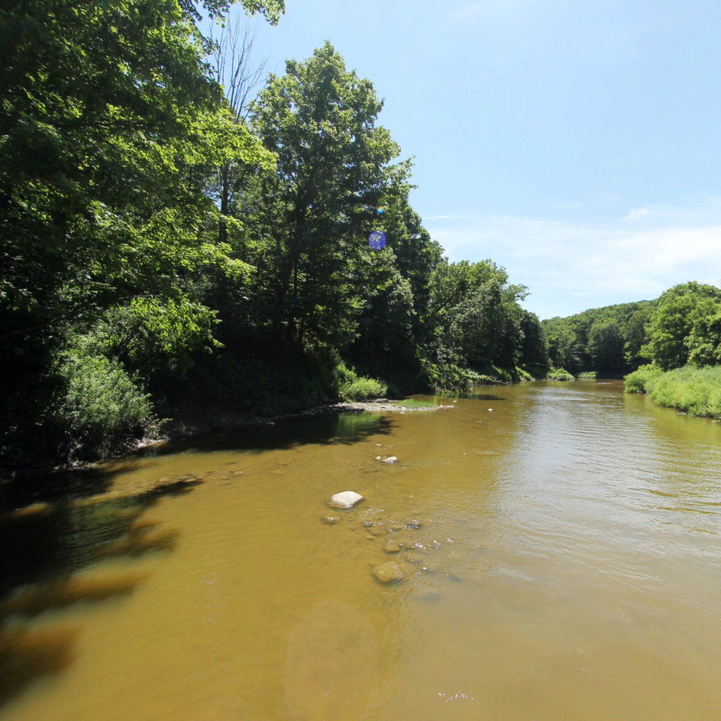
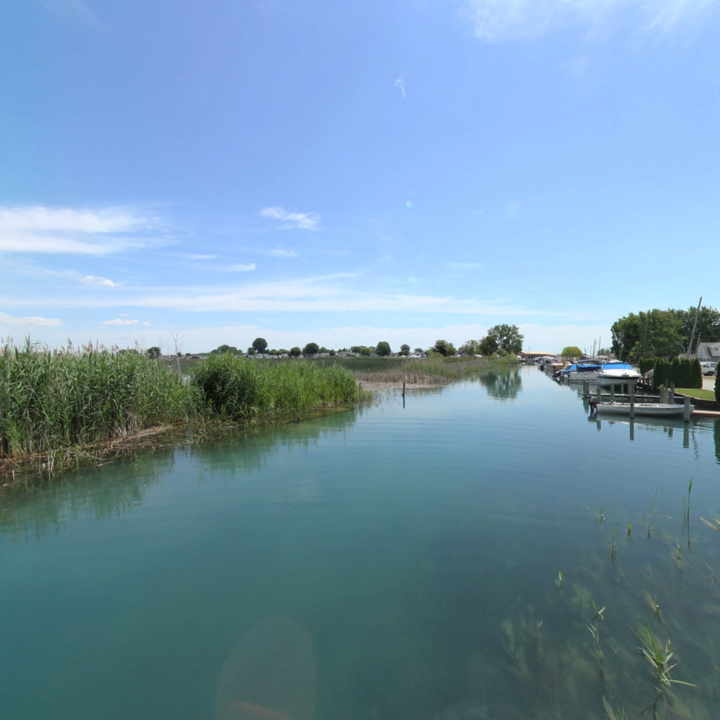
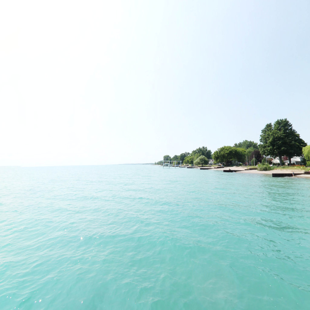
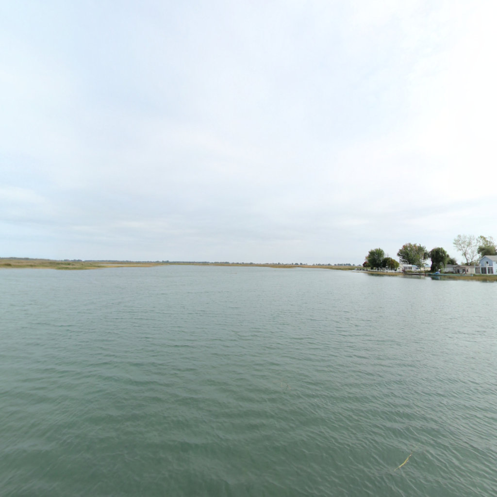
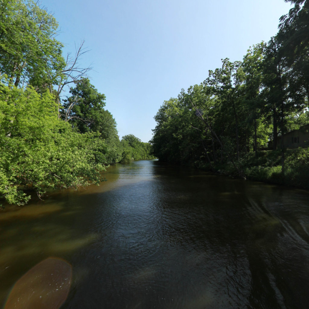
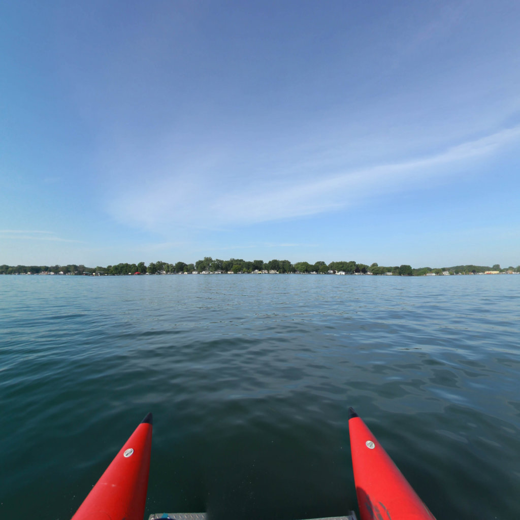
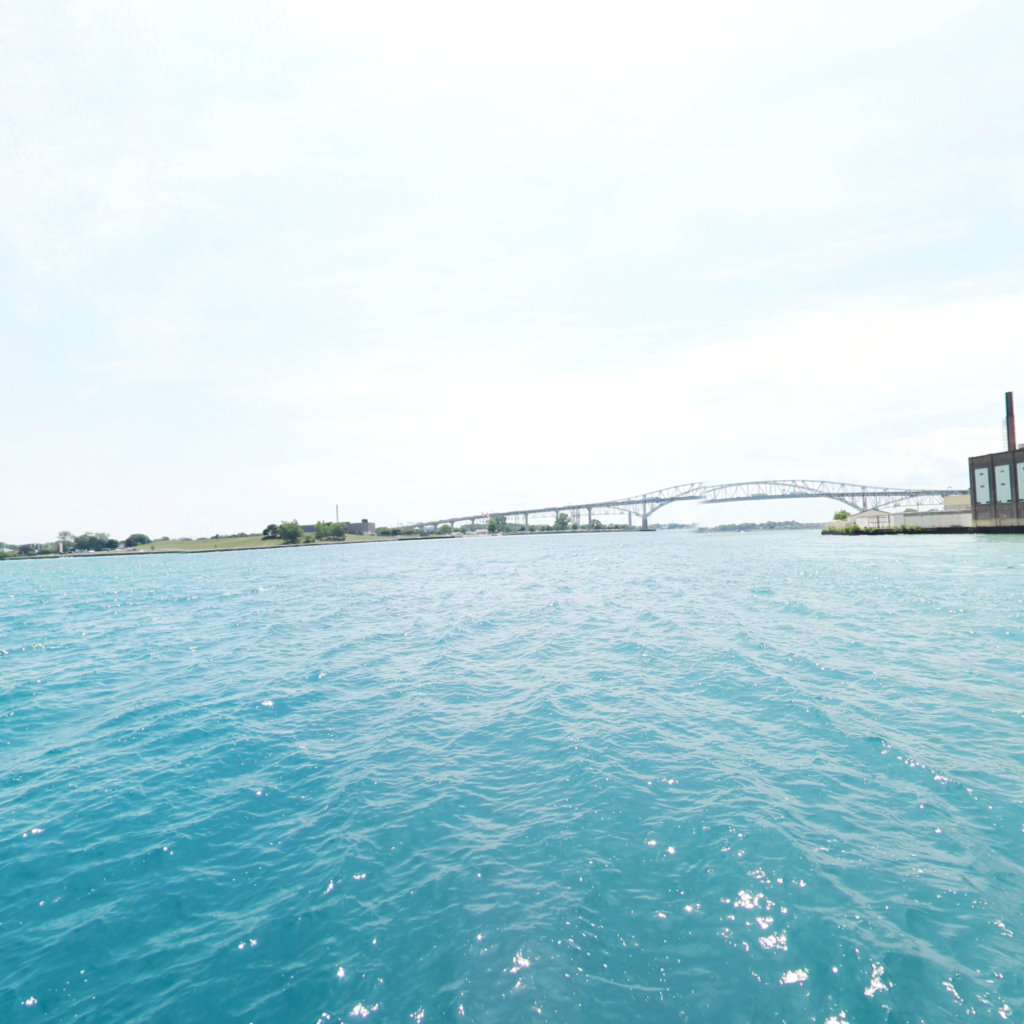
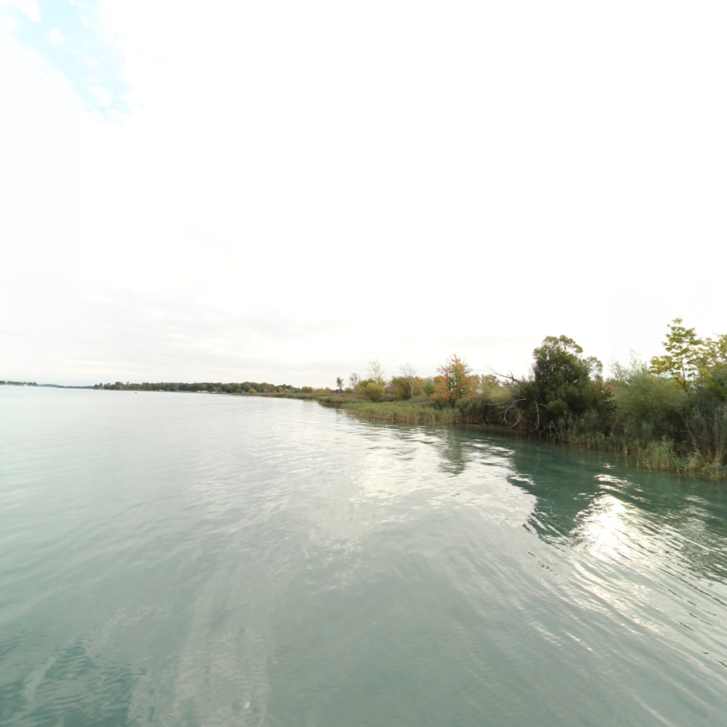
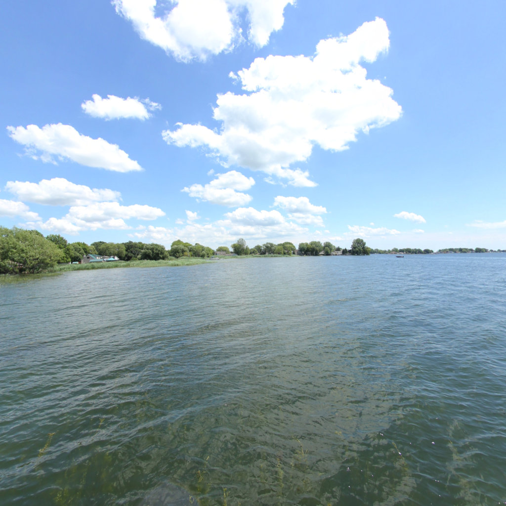
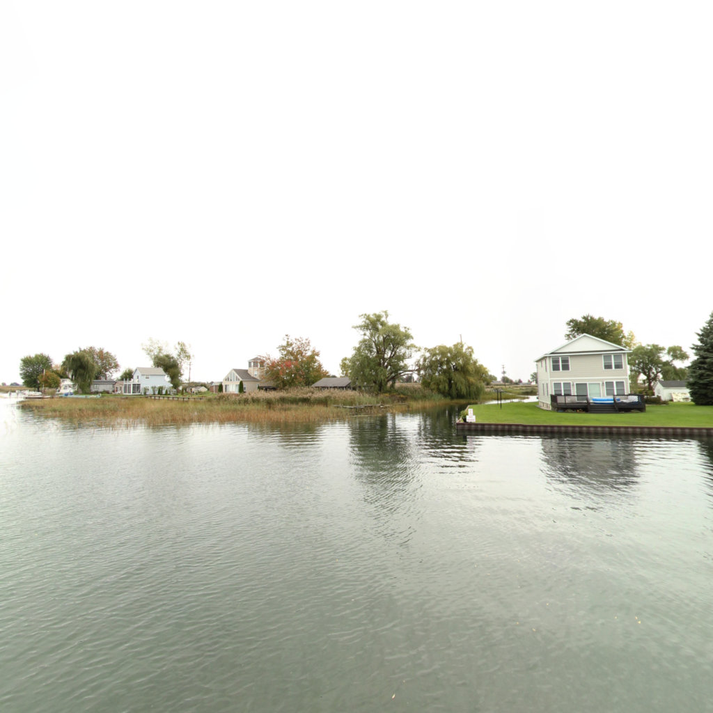
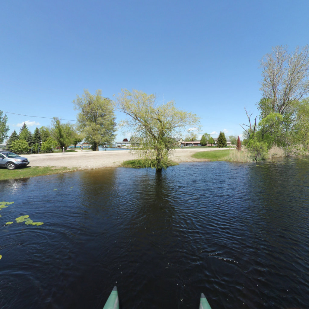
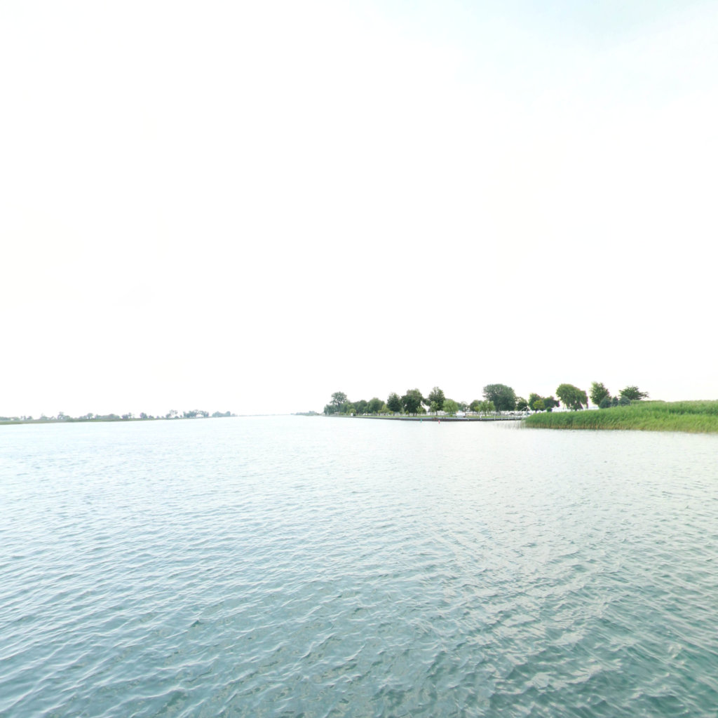
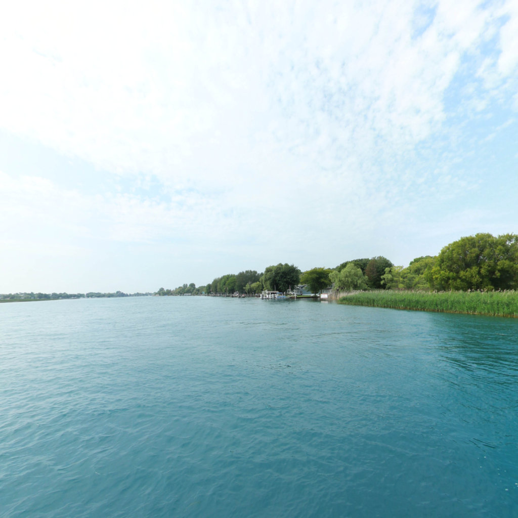
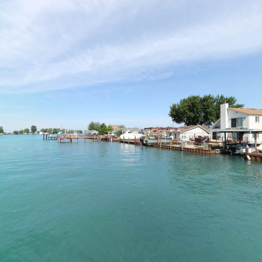
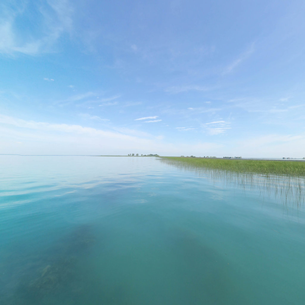
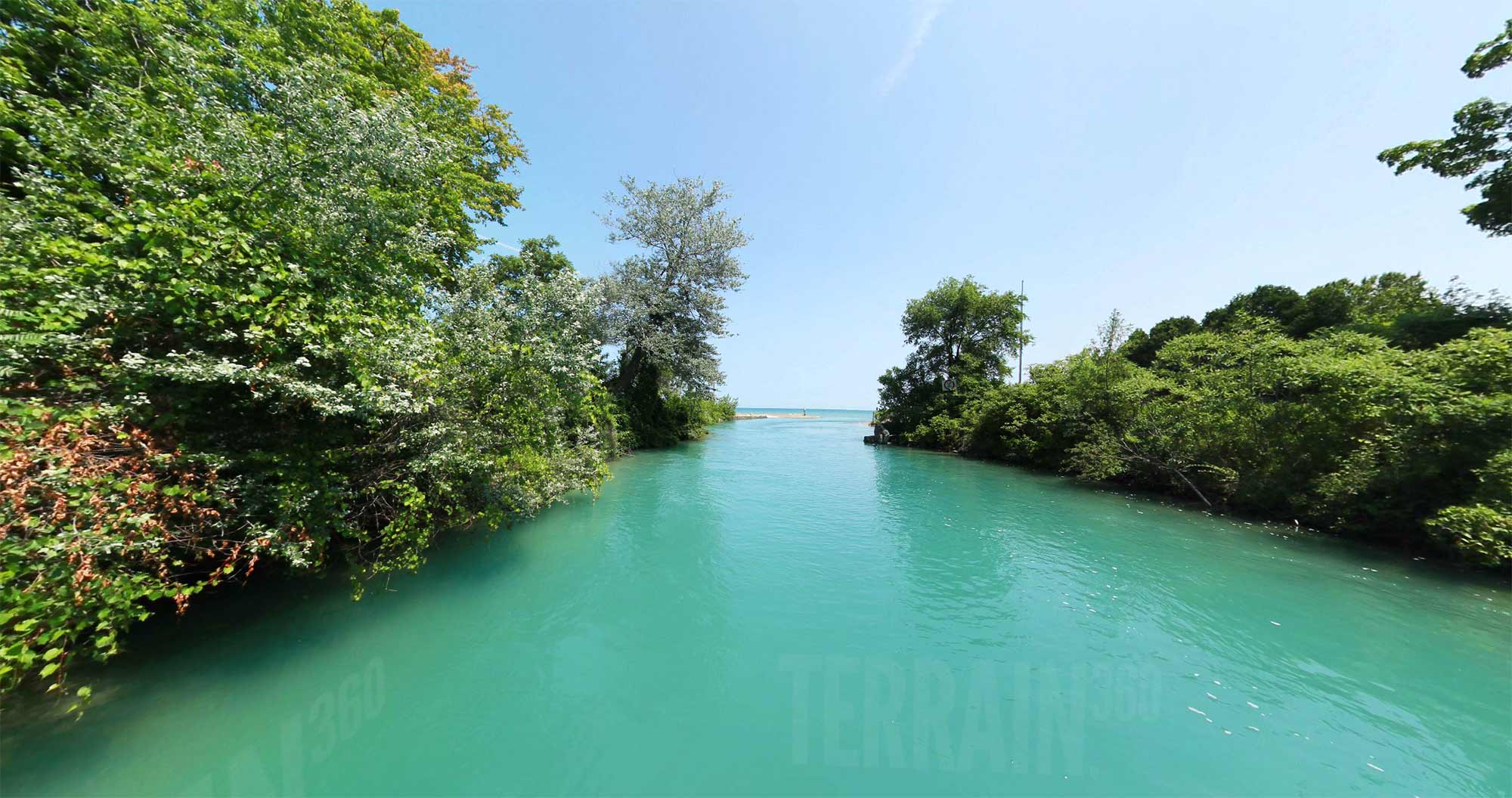
Come discover this beautiful comprehensive Blueway system along the St. Clair River corridor, from Anchor Bay to the northern border of the county along Lake Huron.
A Blueway is the river version of a greenway or bike trail. It offers another opportunity for St. Clair County residents and tourists to enjoy outdoor recreation. This is a joint project between the St. Clair County Metropolitan Planning Commission (MPC) and the St. Clair County Parks and Recreation Commission (PARC).

 Southeast Michigan Trails