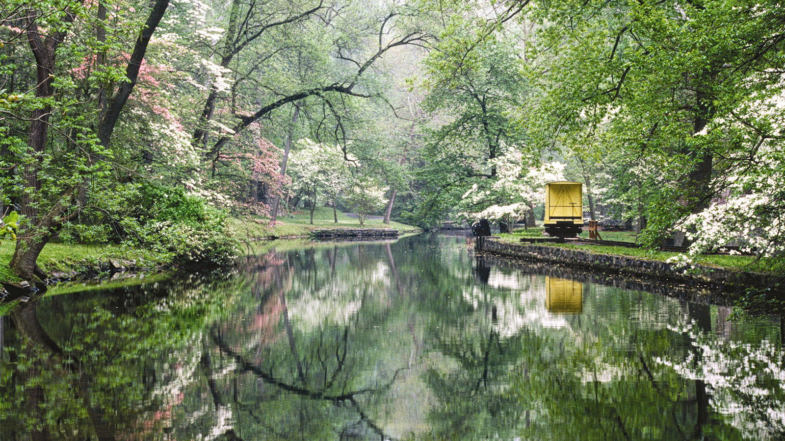
The Christina River is a tributary of the Delaware River, approximately 35 miles (56 km) long, in northern Delaware in the United States, also flowing through small areas of southeastern Pennsylvania and northeastern Maryland. The Christina River watershed is one of four major watersheds in the 565 sq. mi. Christina Basin. The Christina Basin is part of the 13,000 sq. mi. Delaware River Basin. The river was named for Queen Christina of Sweden. Fort Christina, the first permanent European settlement in Delaware, was established at the confluence of Brandywine Creek and the Christina River in 1638 as a part of the Swedish colony of New Sweden.
The Christina River and its tributaries drain an area of 565 square miles (1,463 km²). Brandywine Creek, despite being considered a "tributary" of the Christina, drains 58% of this area (325 mi²/842 km²). Including Brandywine Creek, 71% of the Christina's basin is in Pennsylvania (400 mi²/1,036 km²); 28% is in Delaware (157 mi²/407 km²); and 1% is in Maryland (8 mi²/21 km²). The basin's streams supply approximately 100 million gallons (400 million liters) of water per day for more than half a million people in the three states, providing 75% of the water supply for New Castle County, Delaware, and more than 40% of the water supply for Chester County, Pennsylvania. The Christina River is tidal from just south of the town of Christiana to its confluence with the Delaware River at Wilmington.
Although the Christina River has fallen victim to years of industry, improper land use and anthropogenic influences the story of the river is a positive one. The state is working diligently to clean up and redevelop the toxic sites along the river. The Christina River is also demonstrating improving trends for many water quality parameters.
Source:
Wikipedia.org,
Delawarewatersheds.org; Photo credit:
Hagley Museum and Library

