Elk River Terrain360 Map Collection

A Serene Getaway to Spectacular Water Views

The Elk River is a tidal tributary of the Chesapeake Bay on the Eastern Shore of Maryland and on the northern edge of the Delmarva Peninsula. It is about 15 miles (24 km) long. As the most northeastern extension of the Chesapeake Bay estuary, it has served as one entrance to the Chesapeake and Delaware Canal since the 19th century. The canal and river now serve as one boundary of the Elk Neck Peninsula. The river flows through Cecil County, Maryland, with its watershed extending into New Castle County, Delaware and Chester County, Pennsylvania. Elkton, the county seat of Cecil County, is located at its head. Its total watershed area is 143 square miles (370 km2) (including the Bohemia River), with 21 square miles (54 km2) of open water, so its watershed is 15% open water. It is south and east of the North East River, and north of the Sassafras River.

Source: Wikipedia.org

Rogues Harbor (0.21 mi)

39.467719, -75.986531
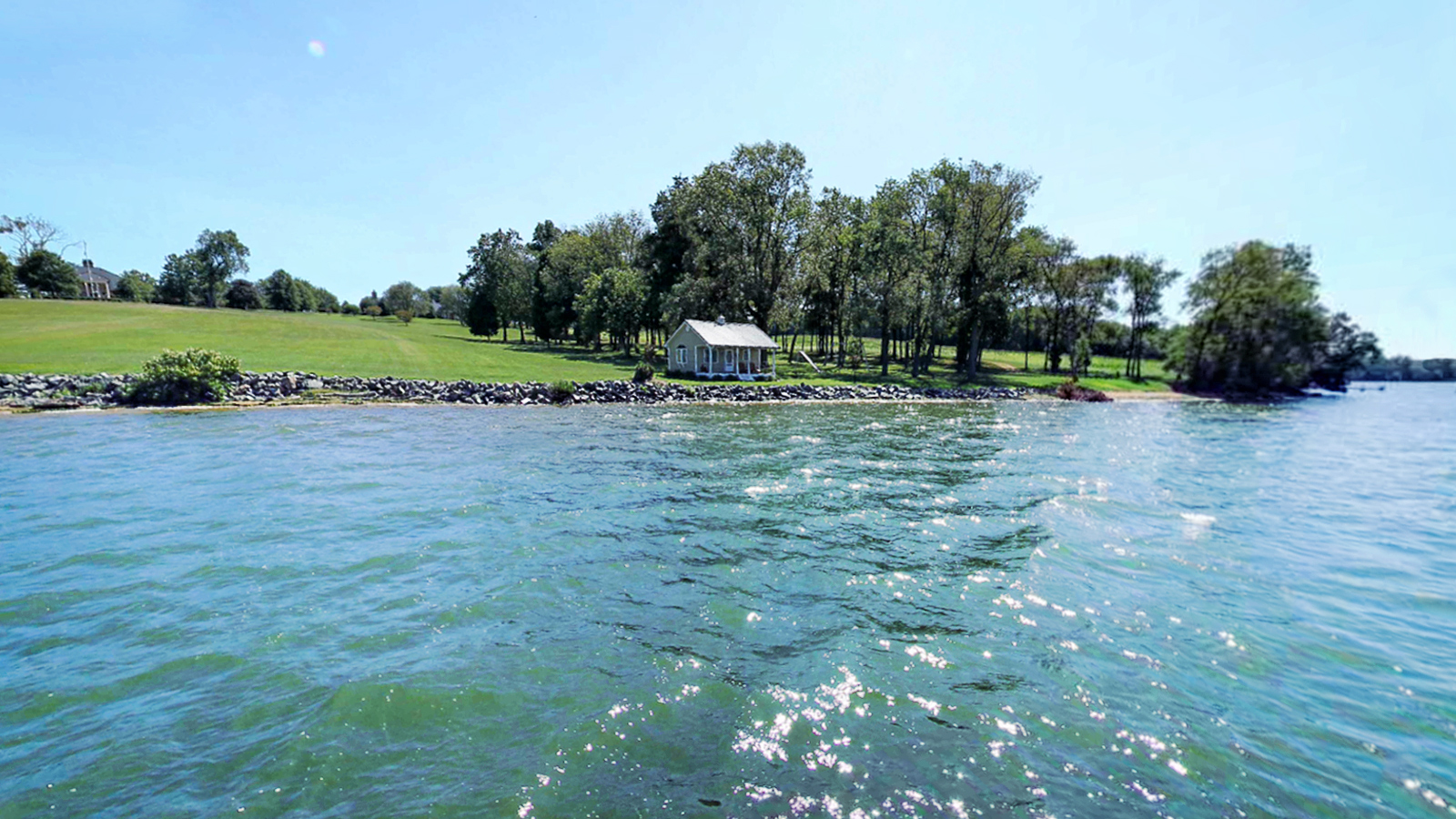
Rogues Harbor scene image looking forward

Explore the Map

Click on any line in the map to explore the location in street view.

Explore a Section of Elk River - from Elk Creek to Elk Neck State Park

Elk Neck State Park is located in Cecil County on a peninsula, formed by the Chesapeake Bay on the west and the Elk River on the east. The park boasts over 2,188 acres of varied landscapes including marshlands, heavily wooded areas, white clay cliffs, and beaches. Elk Neck opened to the public in the early 1940s with the purpose of providing recreation in the form of camping, swimming, fishing, boating, and hiking, all of which are still popular today./ Source: Dnr.maryland.gov

Making the world a better place

Conservation Partner

Chesapeake Conservancy 
Jody Couser 
info@chesapeakeconservancy.org
716 Giddings Avenue Suite 42 
Annapolis, MD 21401
(443) 321 3610