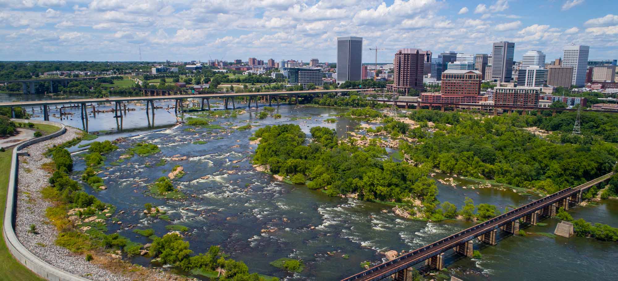
Explore the James River through the ‘Google Street View’ - like technology at your own pace! Terrain360 has assembled 360 images of the entire James River. For our Symposium and your viewing pleasure, we provide trips along the Upper, Middle, Fall Line (rapids through the City) and Tidewater sections of the James River, with sights of interest which correspond to historical, cultural and science-based sessions you’ll learn about during the week!
Click on one of the highlighted spots along the James or view a section in its entirety in the Trails section
Explore the map
Click anywhere on the line to drop into that spot in 360°.