False Cape State Park is a Virginia state park located on the Currituck Banks Peninsula,
a mile-wide barrier spit between the Back Bay of the Currituck Sound and the Atlantic Ocean and within the city of Virginia Beach. False Cape was
so named because from the ocean it could be easily mistaken for Cape Henry, which lies about 20 miles (30 km) to the north at the mouth of the Chesapeake Bay. This false impression lured ships and boats looking for Cape Henry into the shallow waters, where they could easily run aground.
Adjoining the state border with North Carolina and lying just north of Mackay Island National Wildlife Refuge, False Cape features
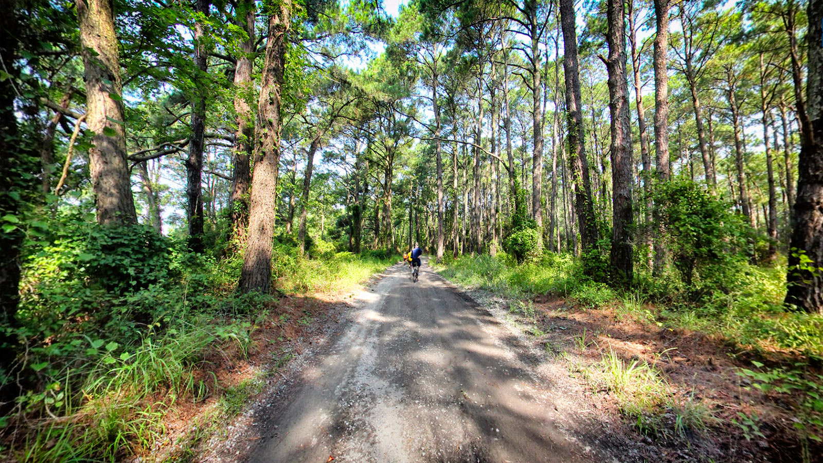
guided kayak trips, primitive camping, interpretive programs, hiking and biking trails, and six miles of pristine Atlantic Ocean beach. The Park can be accessed from the north through Back Bay National Wildlife Refuge on foot, bicycle, or a seasonally available tram - or from the south on foot or bicycle - or from any of its shorelines by boat. While it's not the easiest park to get to, its seclusion adds significantly to its charm.
Source: Wikipedia.org,
Dcr.virginia.gov