Map collection
· The Huron has been designated as the 18th trail of the National Water Trail System.
Huron River Water Trail
Huron River Water Trail: A 220-Mile Adventure Through Michigan's Pristine Waterways
30
segments
136.9
miles
Project partners
Southeast Michigan Trails
About this collection
Huron River Water Trail
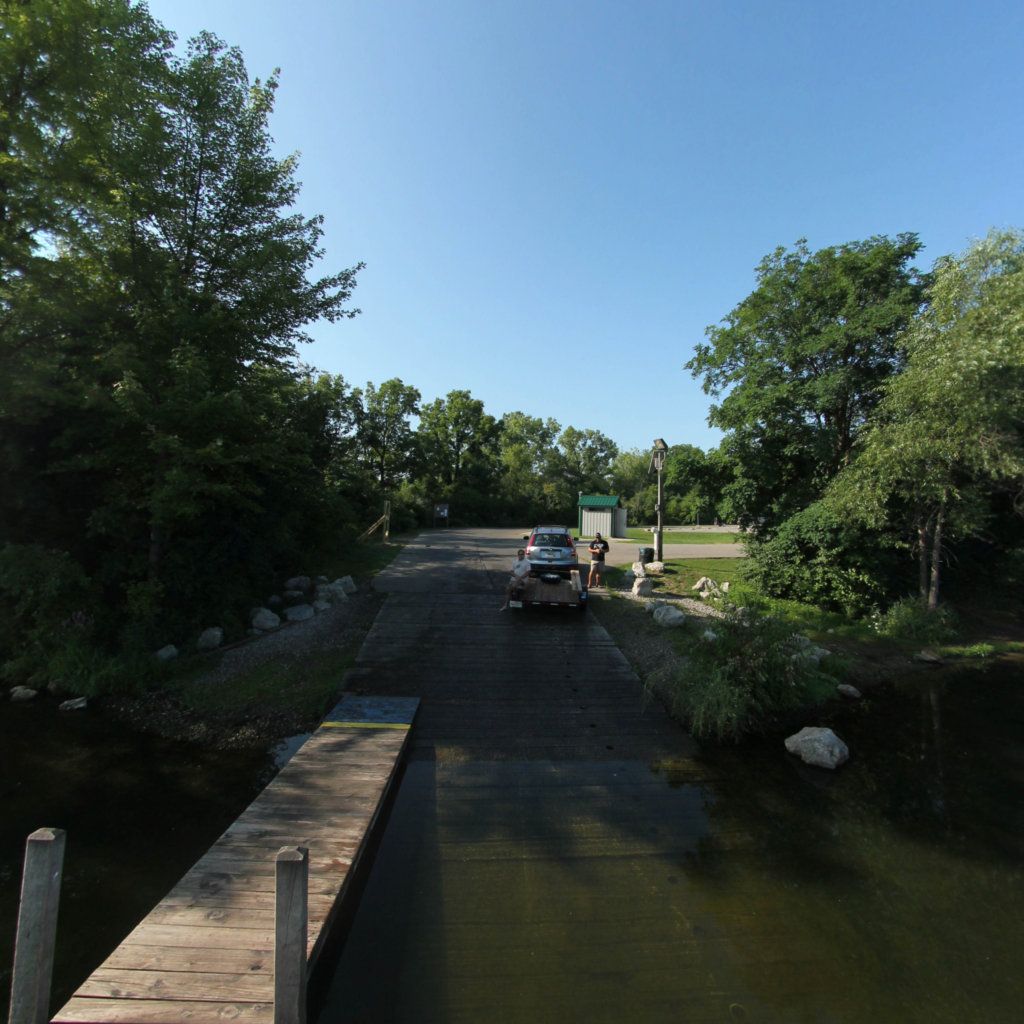
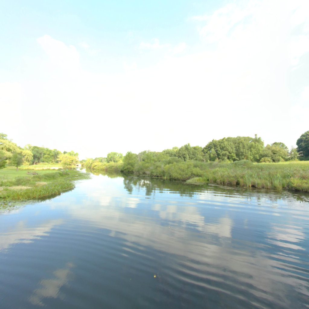
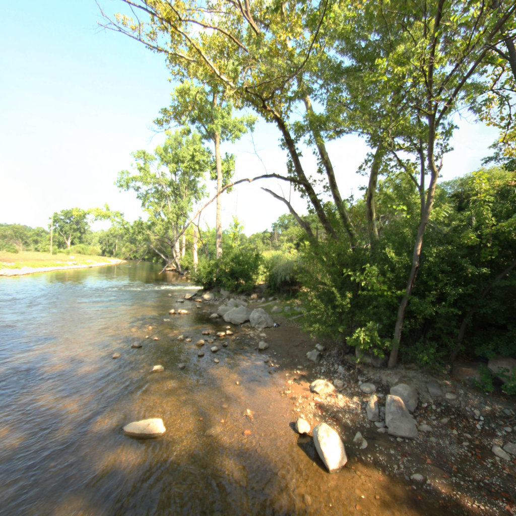
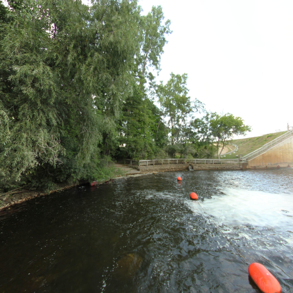
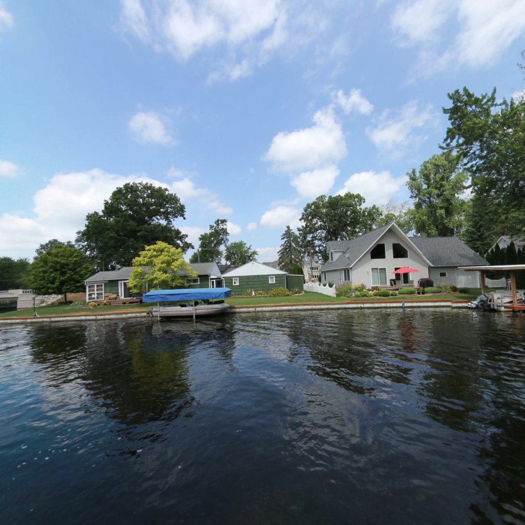
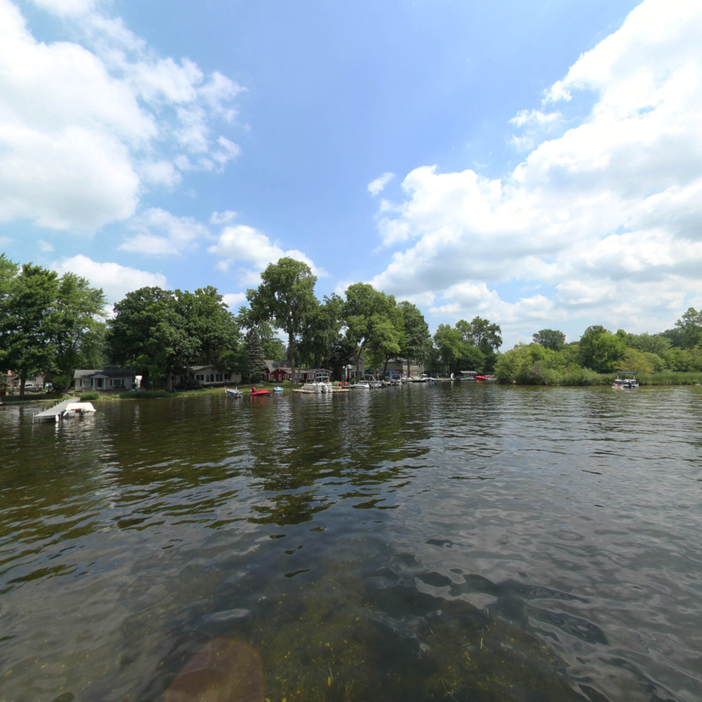
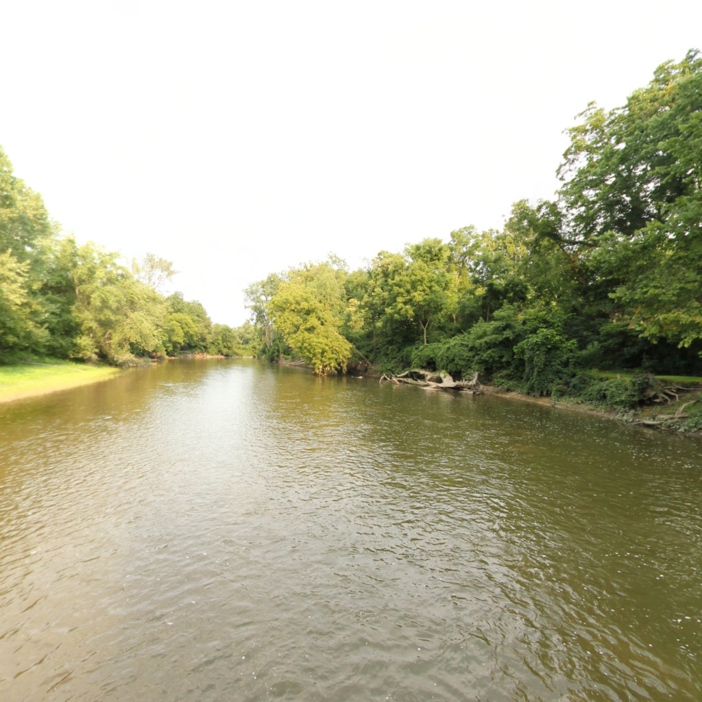
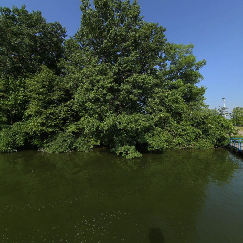
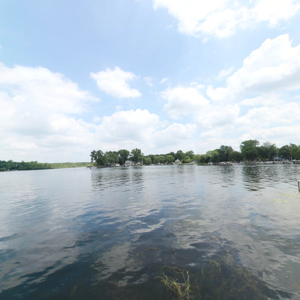
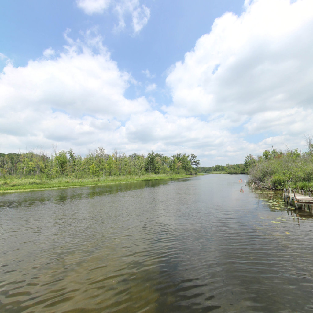
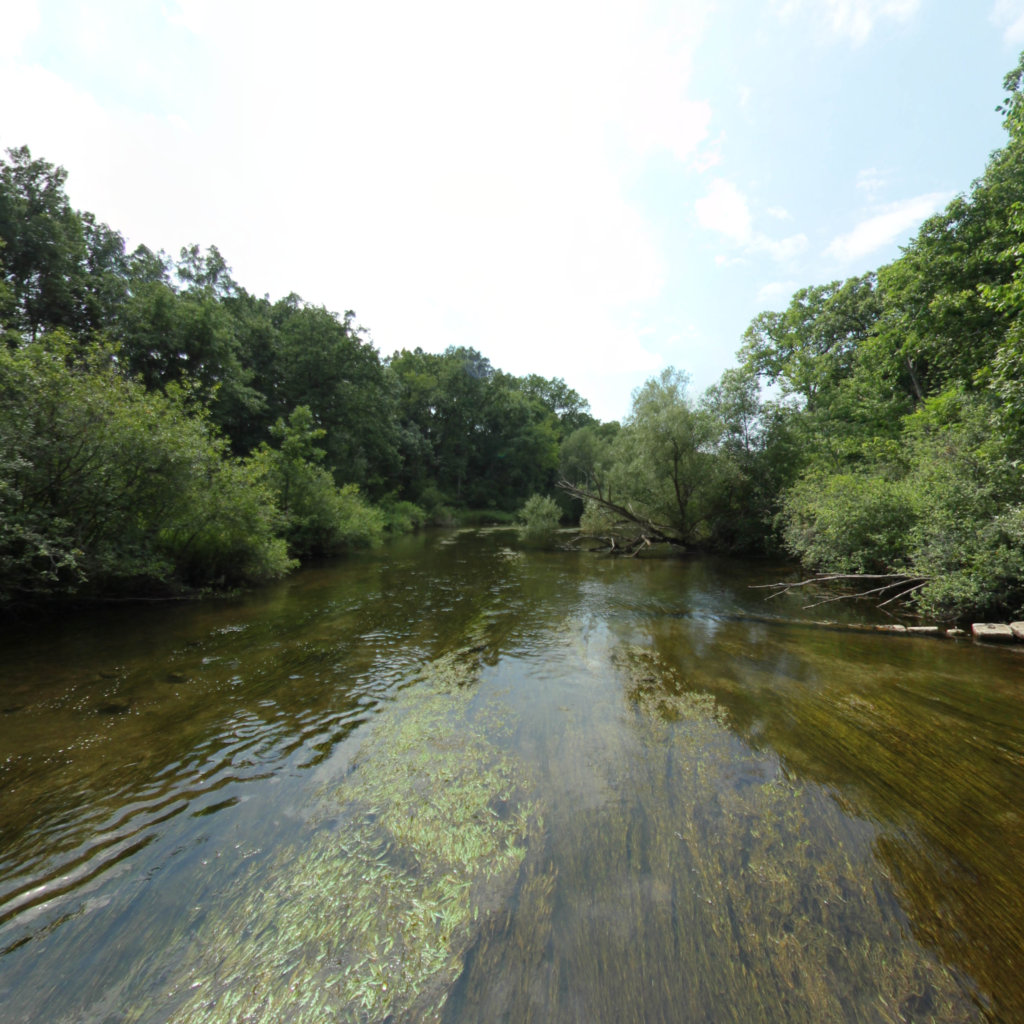
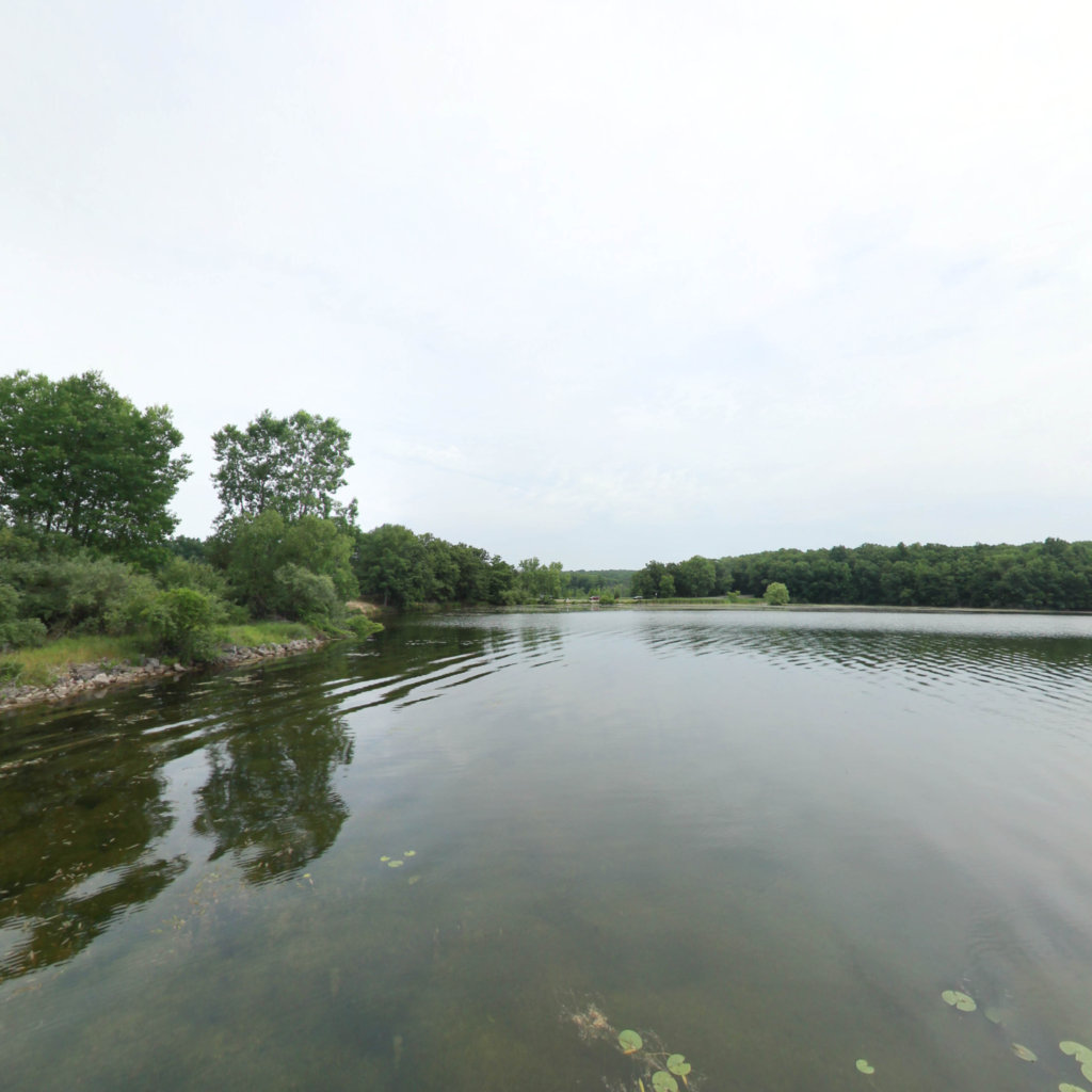
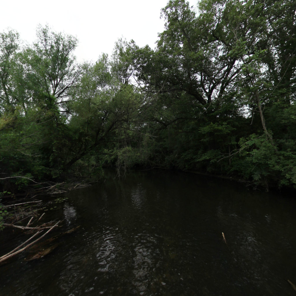
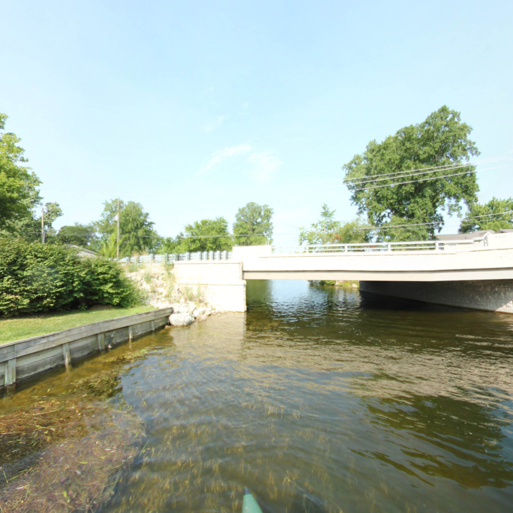
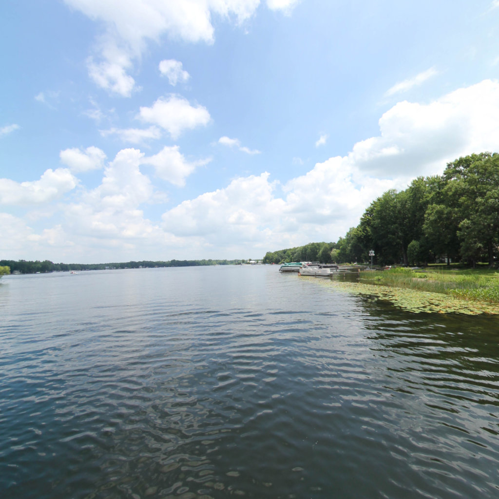
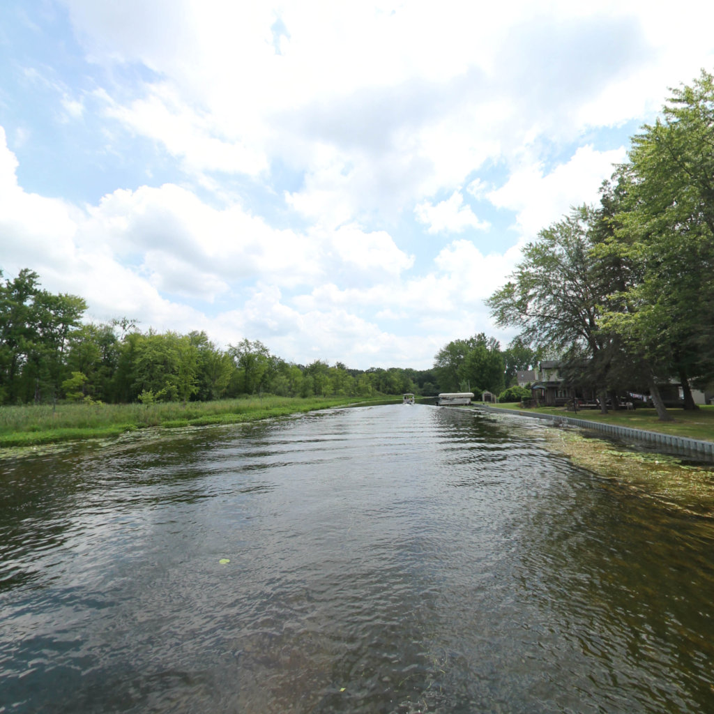
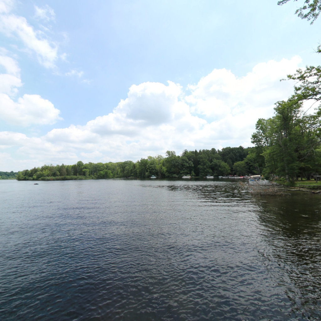
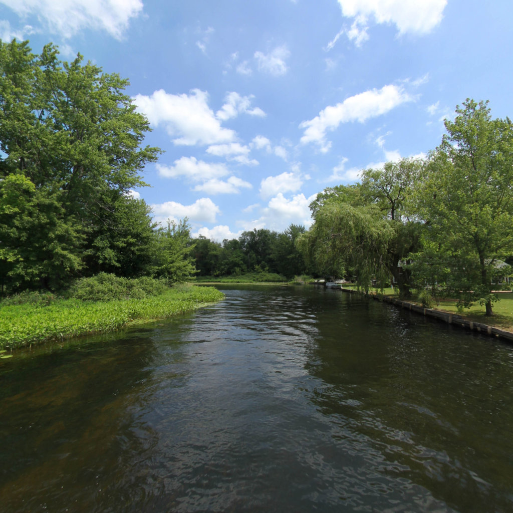
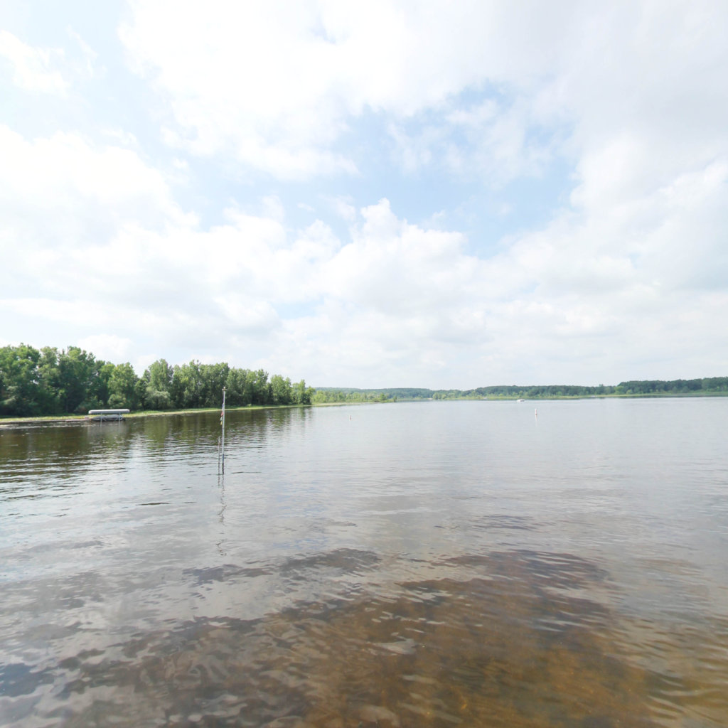
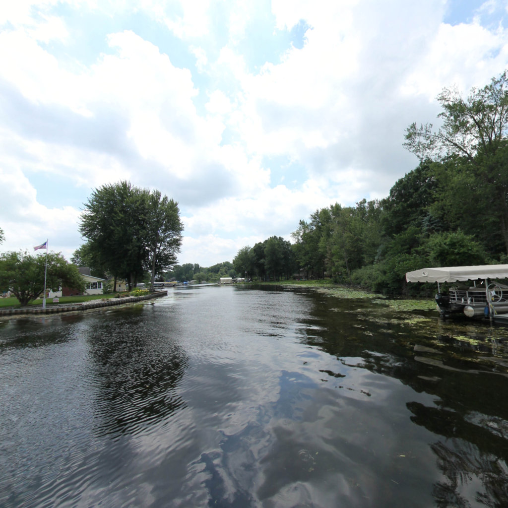
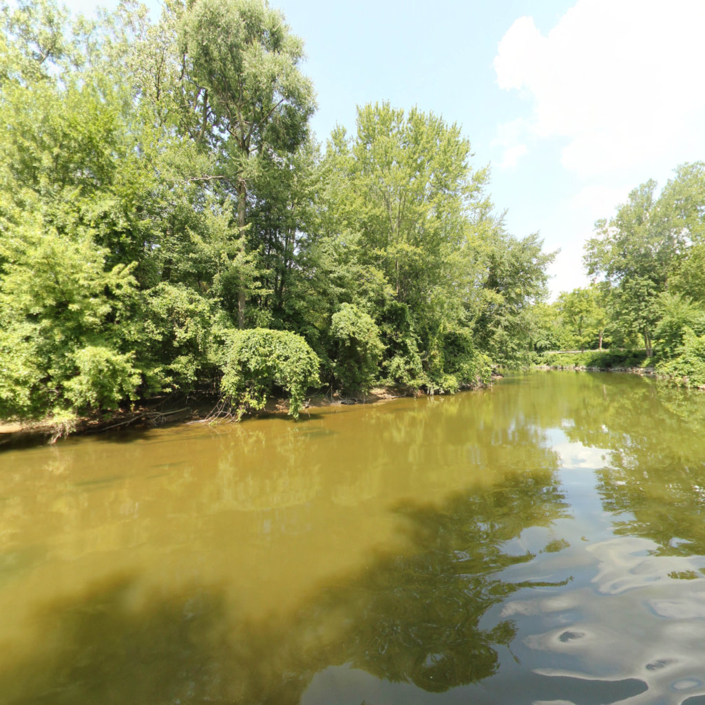
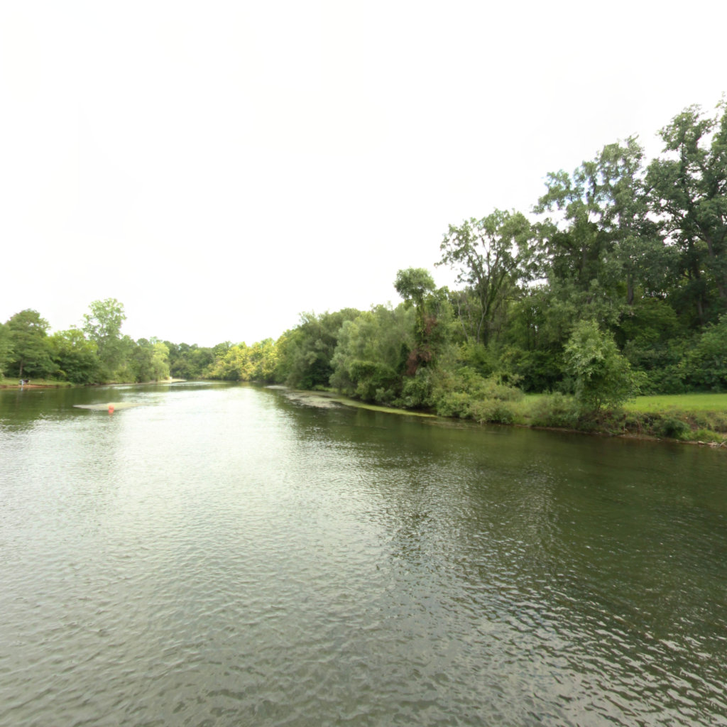
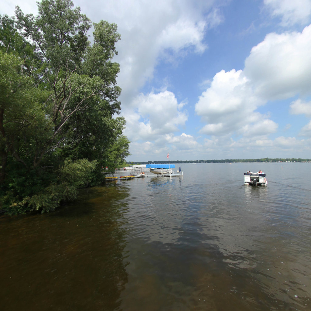
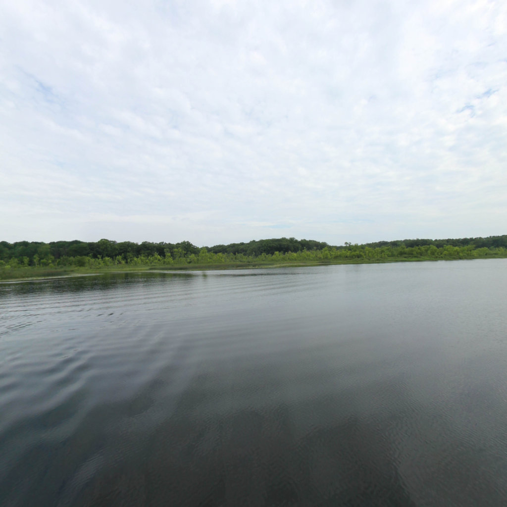
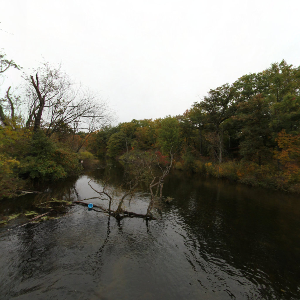
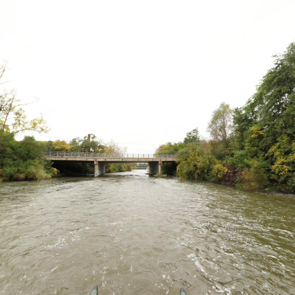
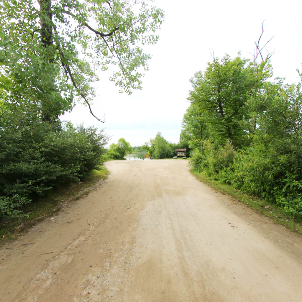
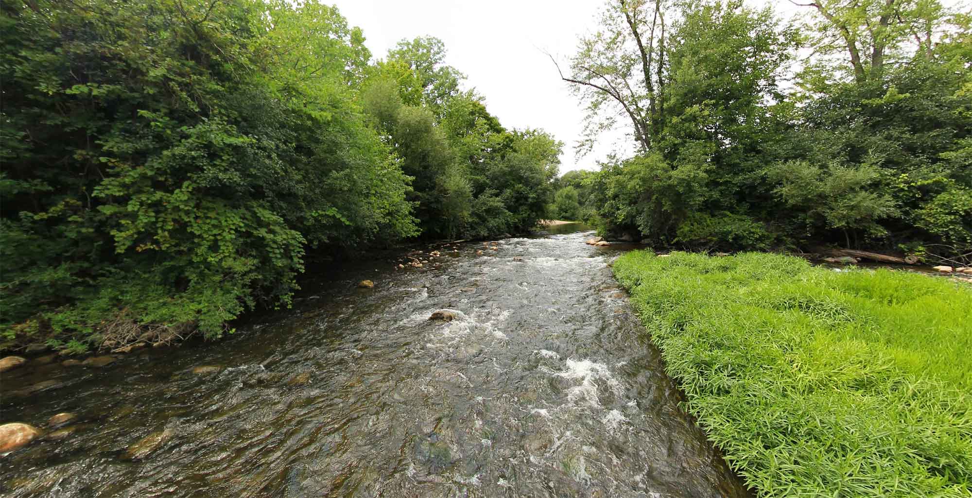
The Huron River Water Trail offers an incredible journey through the heart of southeast Michigan, presenting paddlers with over 220 miles of scenic waterways that wind through pristine natural landscapes, charming communities, and diverse ecosystems. This historic waterway serves as a vital recreational corridor, connecting various parks, communities, and natural areas while providing endless opportunities for outdoor enthusiasts to experience Michigan's natural beauty from a unique perspective.
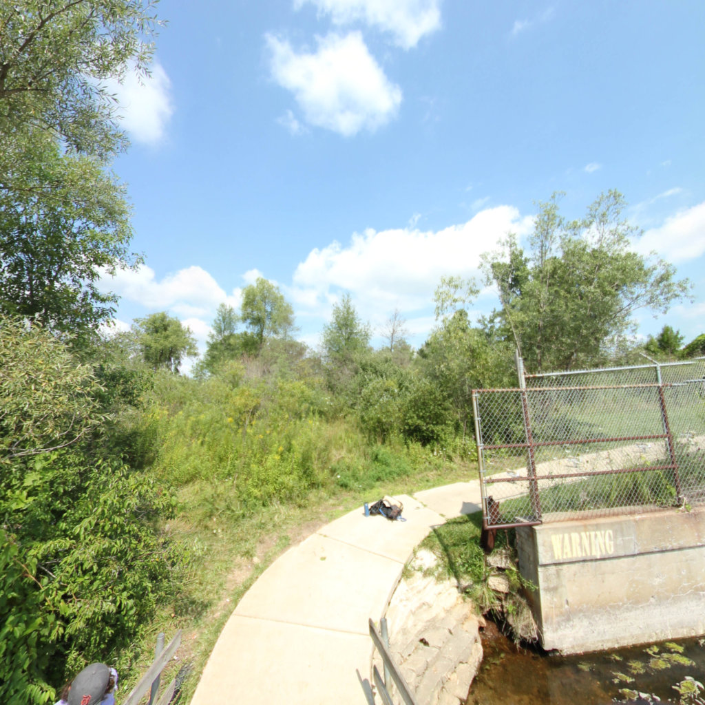
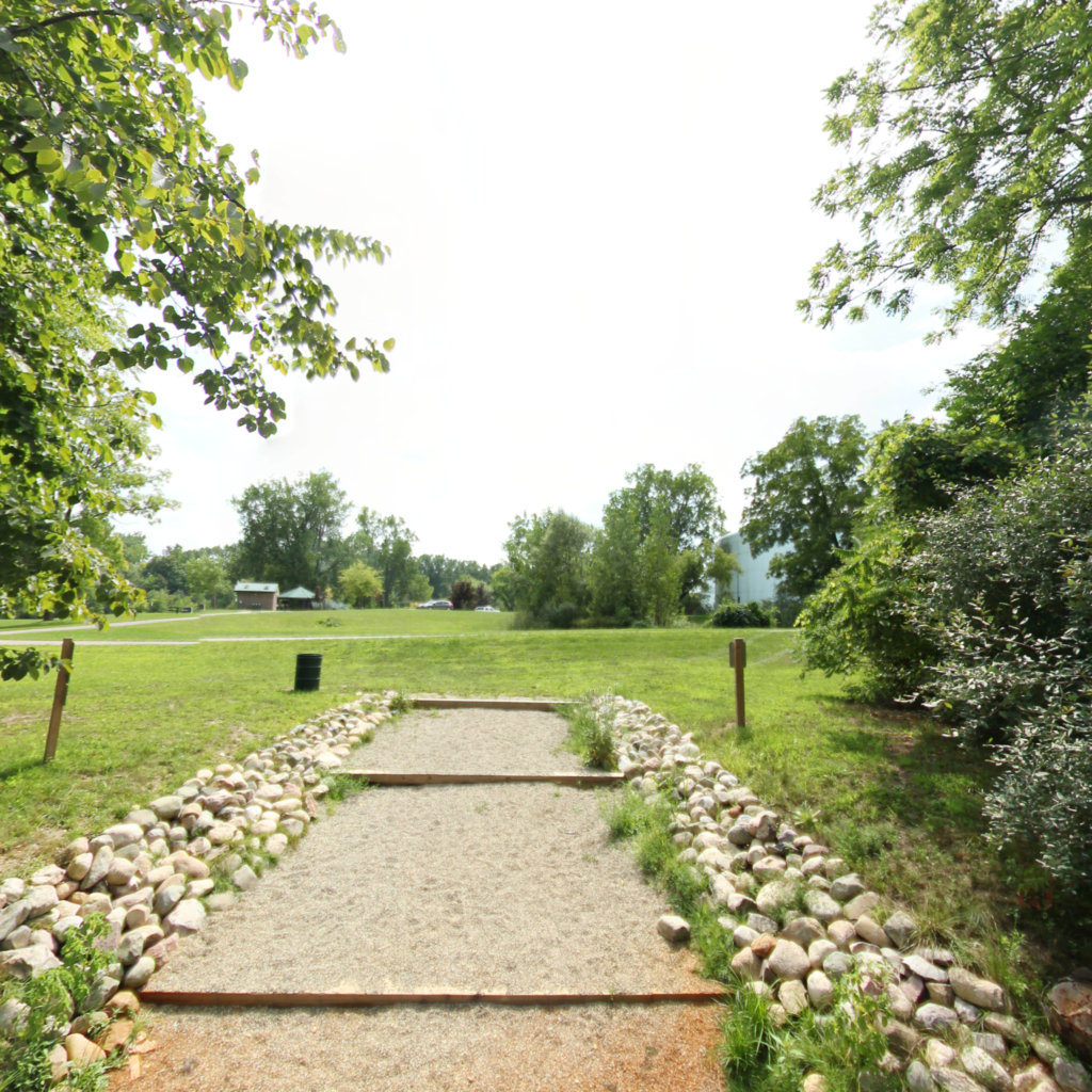
With 30 distinct trail segments, paddlers can choose from a variety of experiences ranging from peaceful flat-water stretches perfect for beginners to more challenging sections that will excite seasoned kayakers. The trail features numerous access points and rest areas, making it easy to plan anything from a short afternoon paddle to multi-day adventures. Along the way, visitors can spot abundant wildlife, explore hidden coves, discover scenic rapids, and experience the changing landscape as the river makes its way through both wilderness areas and vibrant communities, ultimately connecting to Lake Erie.
Explore the map
Click anywhere on the line to drop into that spot in 360°.
 Southeast Michigan Trails