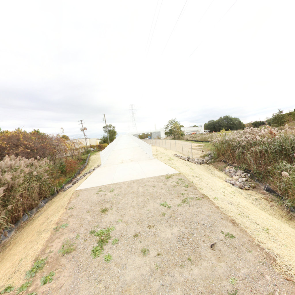
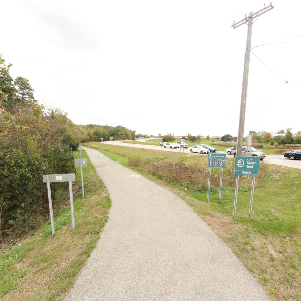
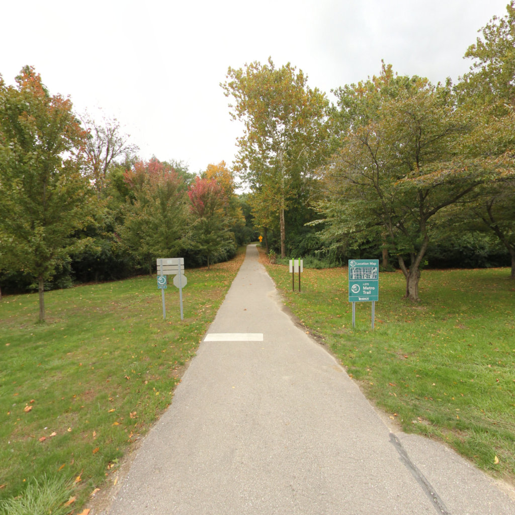
The I-275 Metro Trail is a 40-mile connector highway around the west side of Metro Detroit. When the road was built in the midst of the mid 1970’s energy crisis, The Michigan Department of Transportation included a bike lane throughout the highway’s length. It was a great idea whose time had not yet come. Without promotion, the I-275 Bikeway was little used. And, without the construction standards and maintenance schedules of today’s trails, it fell into disrepair.Fast forward 30 years and robust trail systems have developed in many communities along I-275. In addition, Hines Parkway, which crosses the middle of I-275 is a well-used attraction for walkers and cyclists. An improved I-275 Metro Trail will help connect communities in Wayne, Oakland and Monroe counties and enhance the regional trails network in Southeast Michigan.
Explore the map
Click anywhere on the line to drop into that spot in 360°.
 Southeast Michigan Trails