The James River Park System, a unique part of Richmond’s Department of Parks, Recreation and Community Facilities, includes over
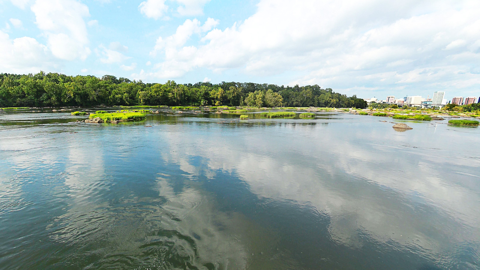
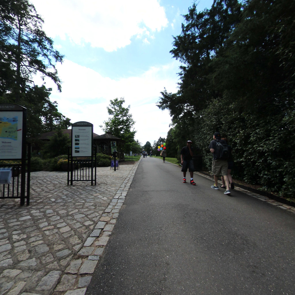
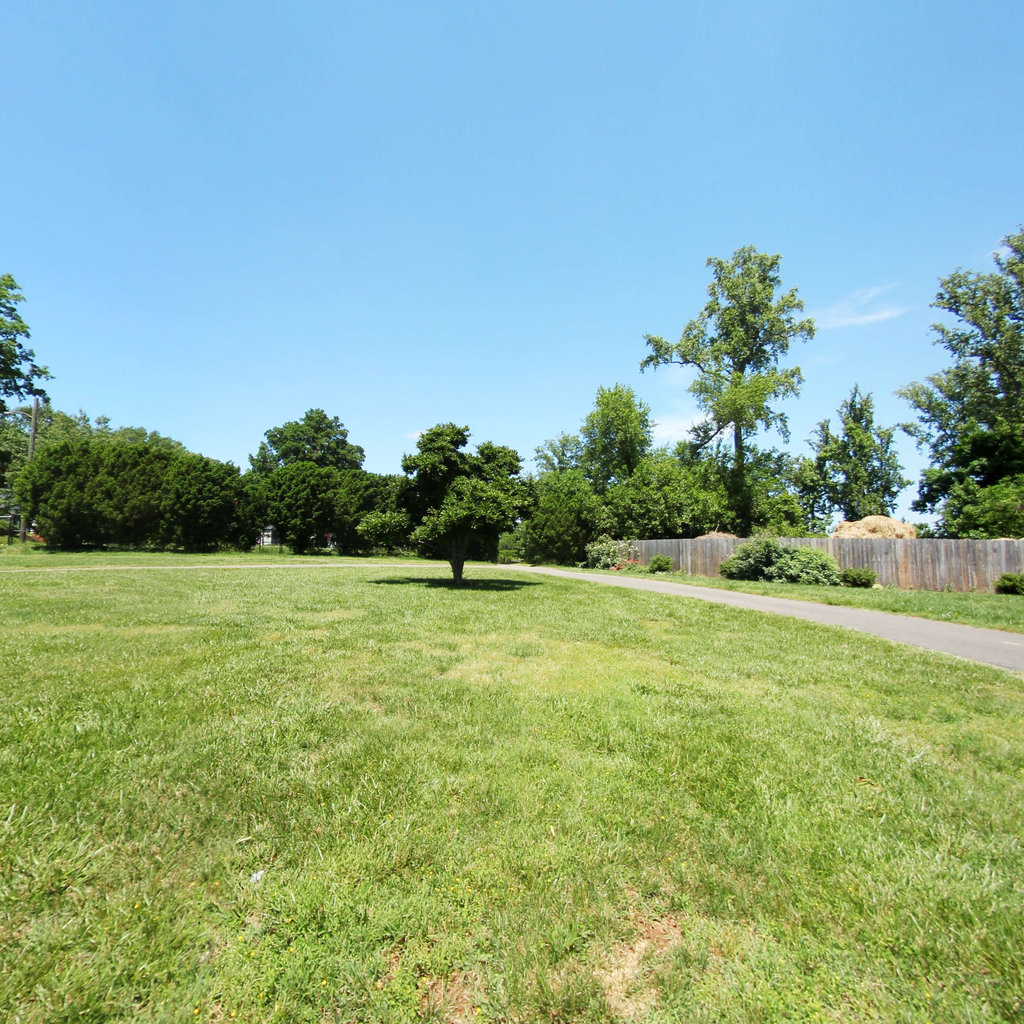
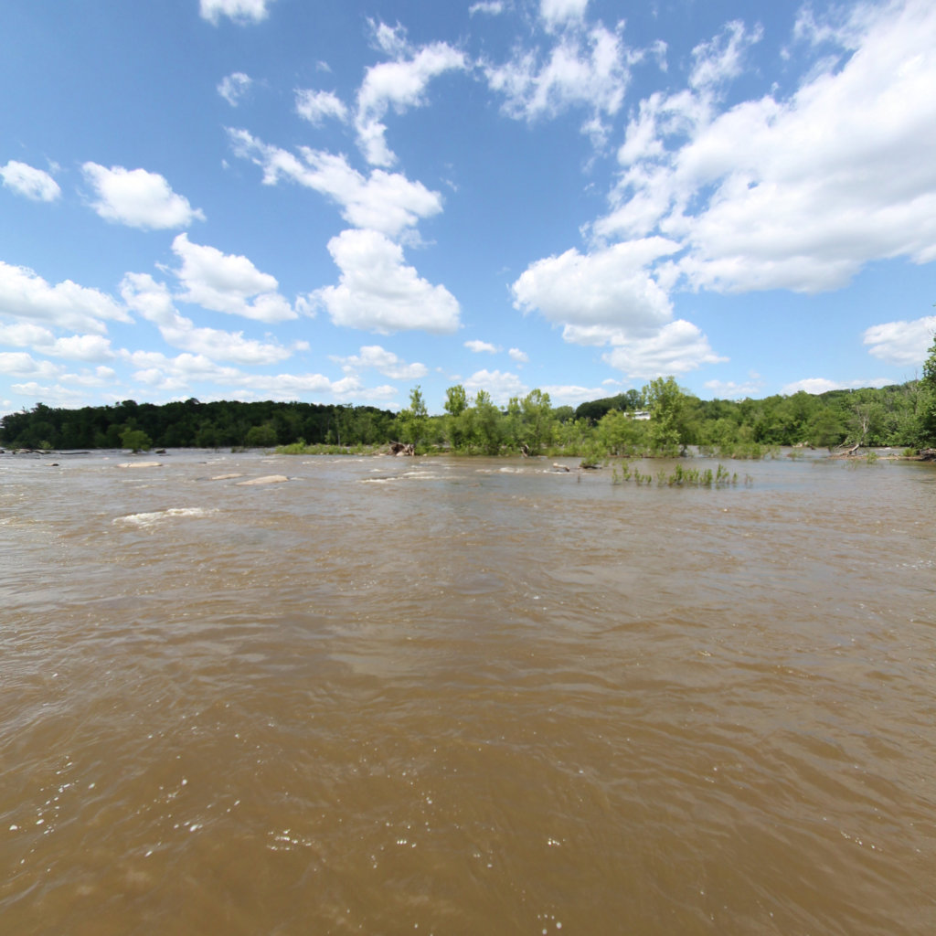
550 acres of shoreline and islands in the capital of Virginia, extending in 14 sections from the Huguenot Bridge in the west to a half mile beyond the I-95 Bridge in the east. It includes most of the fall line of the James River. Rocks, rapids, meadows, and forests make for an area of unspoiled natural beauty - a little bit of wilderness in the heart of the city.
The James River Park System is the most heavily visited park in Richmond, receiving well over one million visitors a year – most of whom are not city residents.
The James River Park System Loop is a loop combining the five major downtown trails: Buttermilk, Buttermilk Heights, North Bank, Belle Isle and Forest Hill Park. Loops of the system can range between 8 and 13 miles depending on the route taken. Opportunities for recreational tree climbing, kayaking, and whitewater rafting and much more are available in the park.
Source:
Jamesriverpark.org,
Visitrichmondva.com