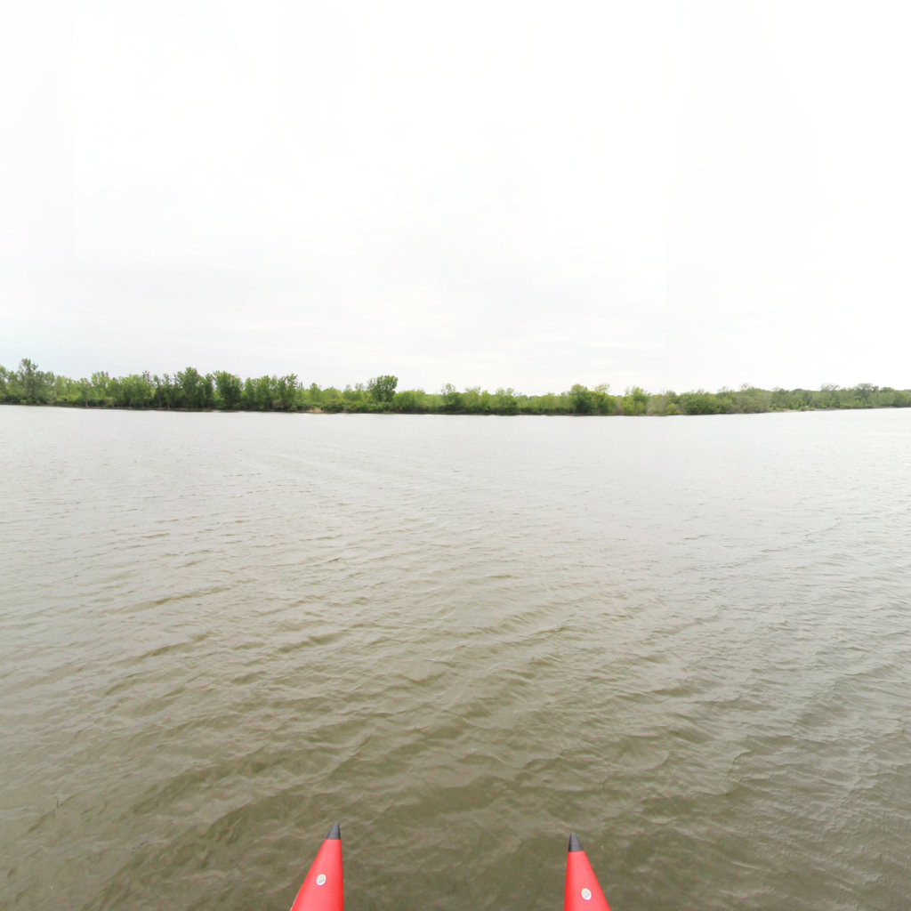
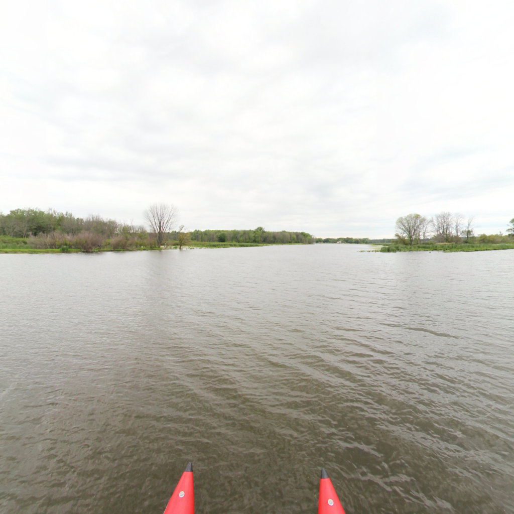
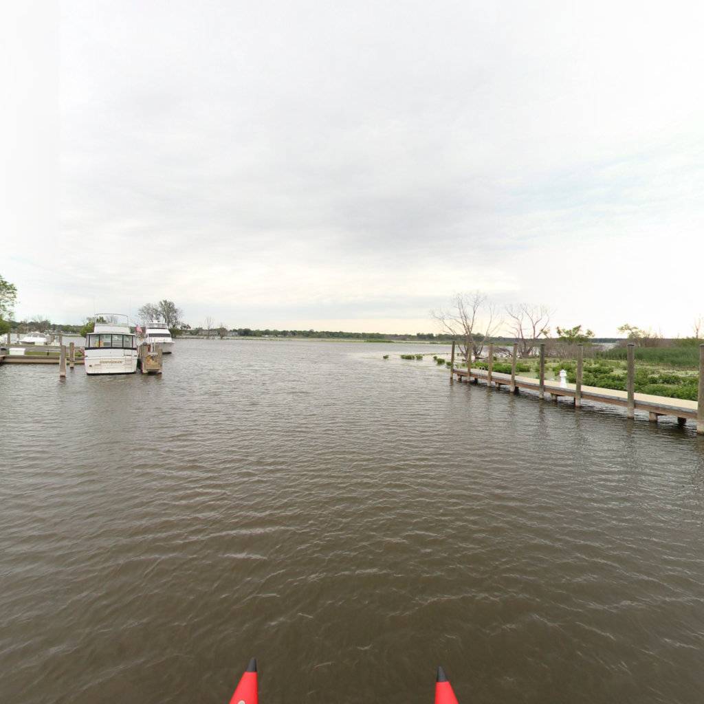
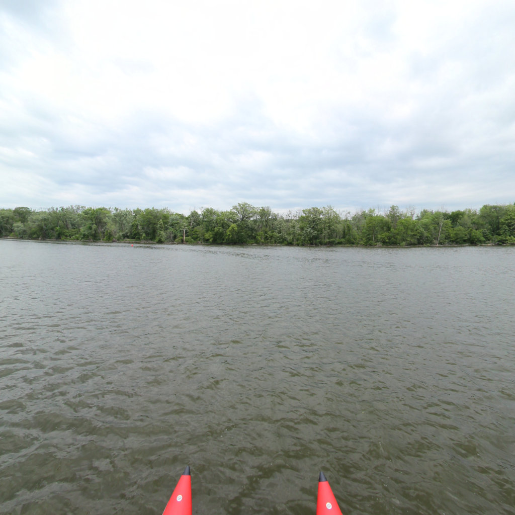
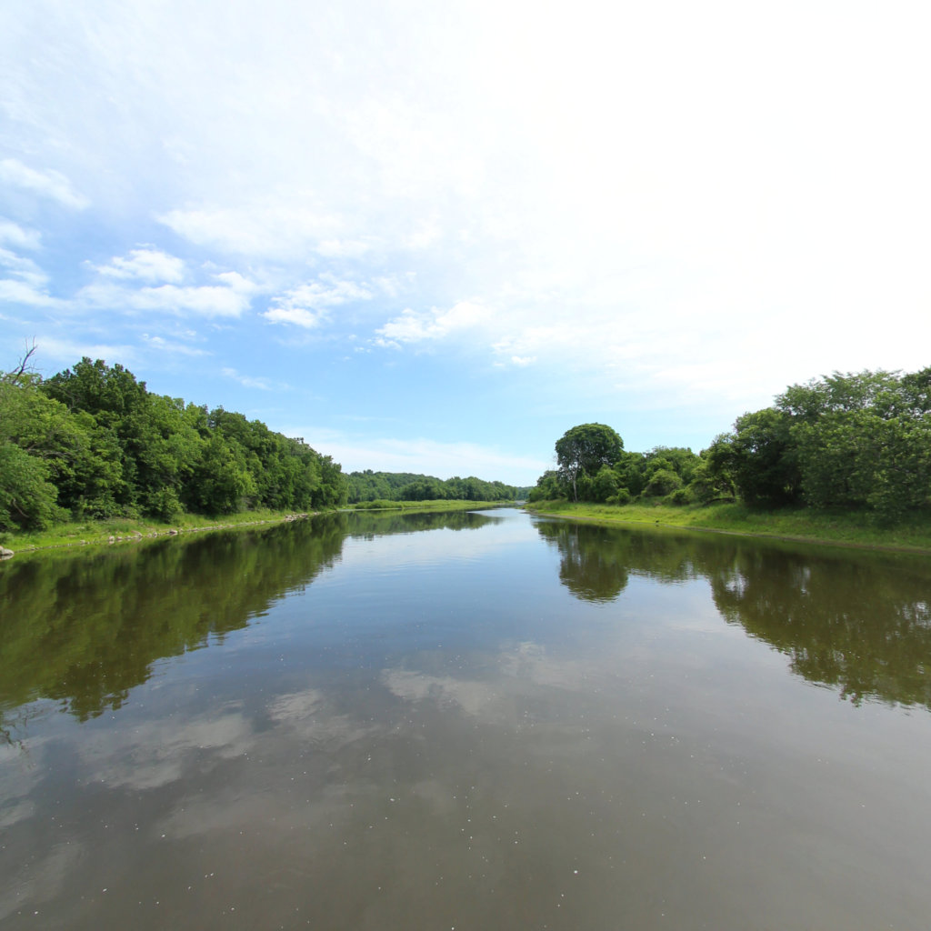
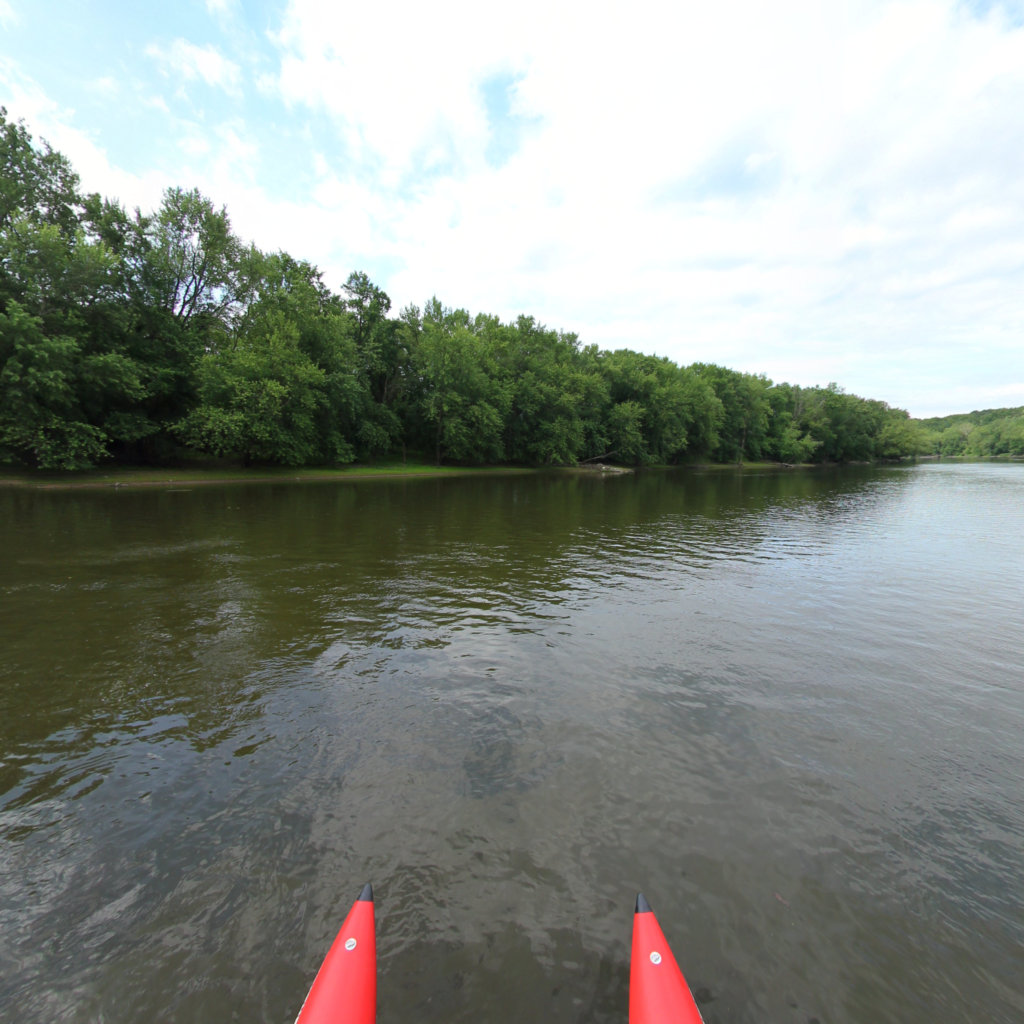
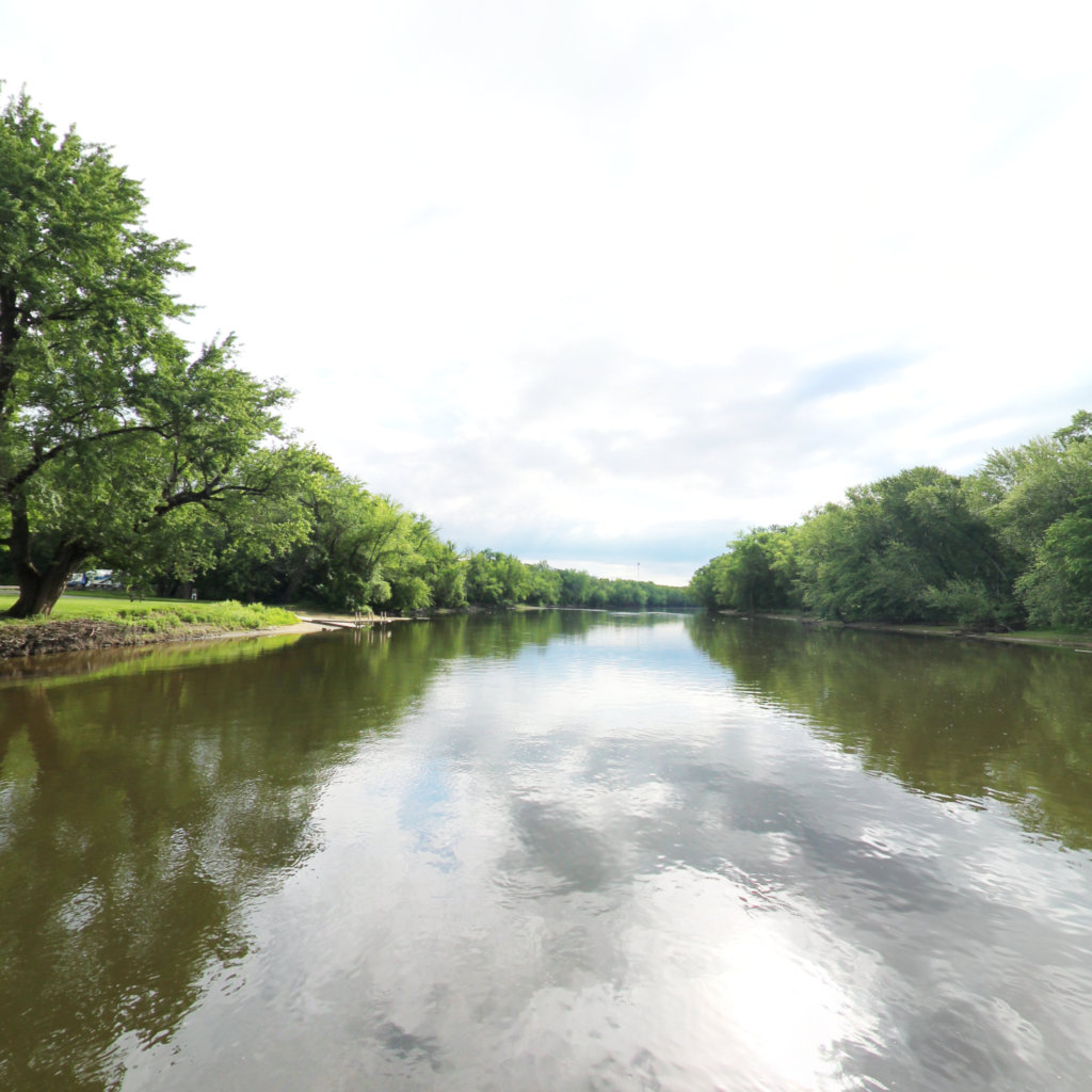
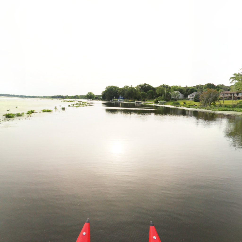
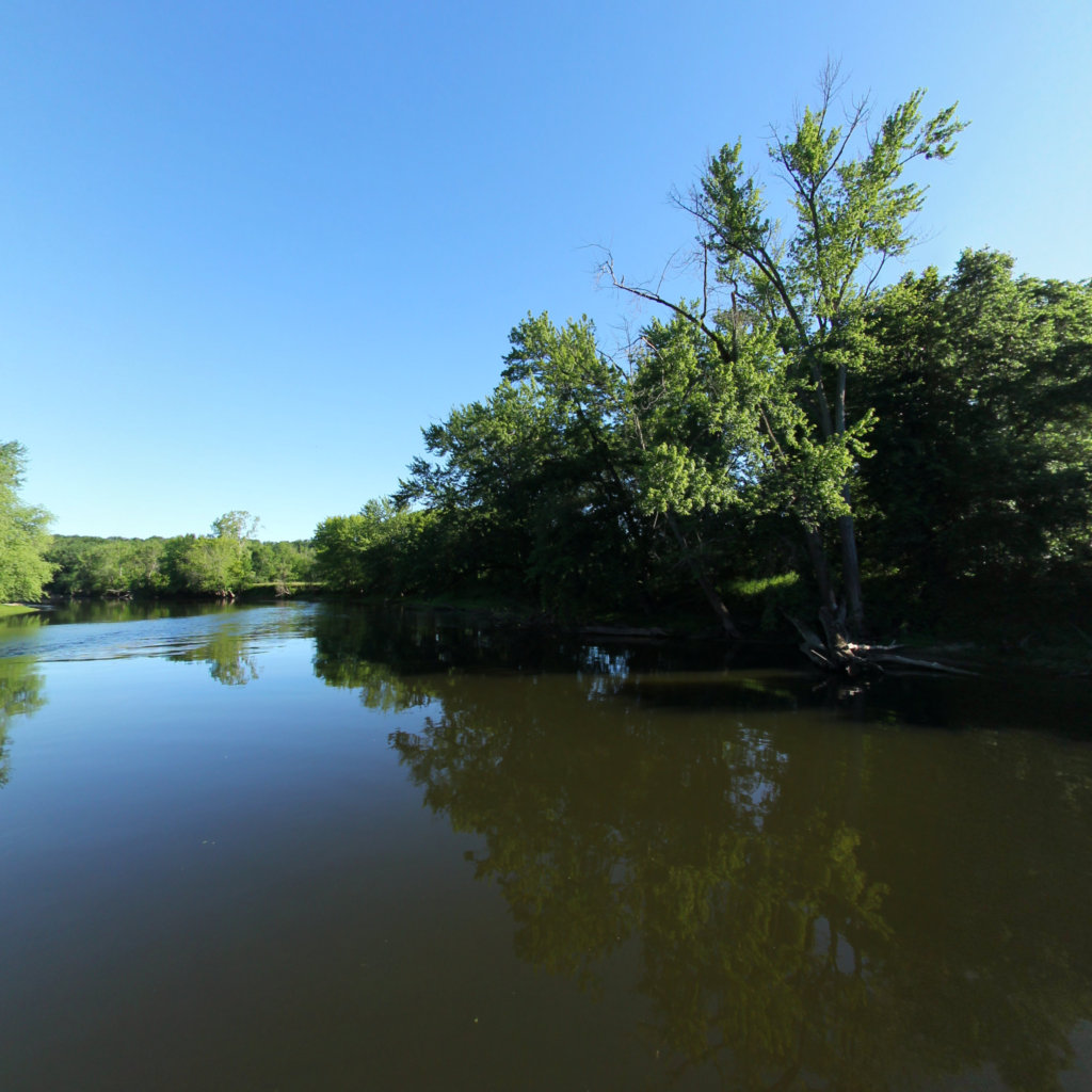
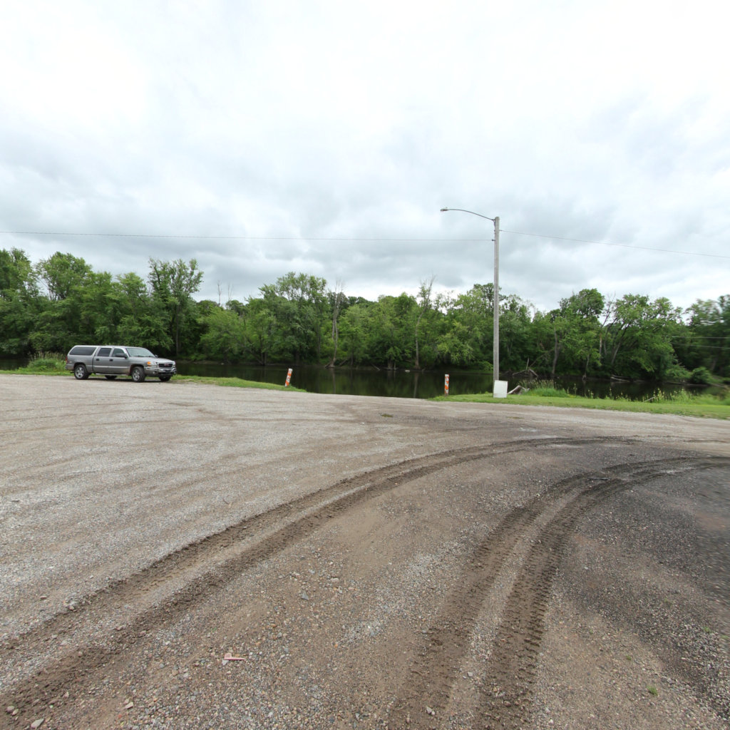
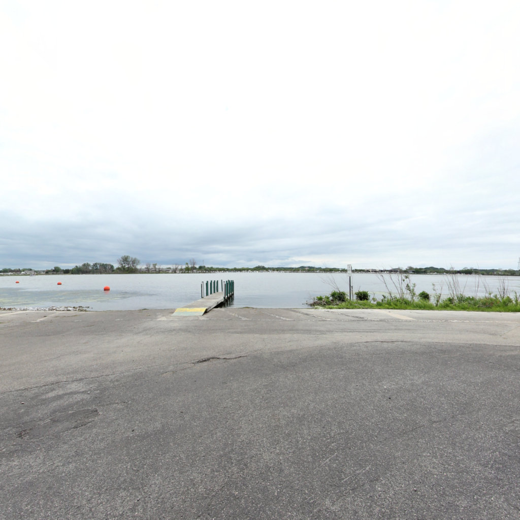
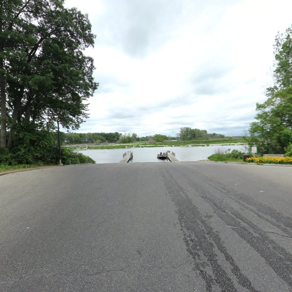
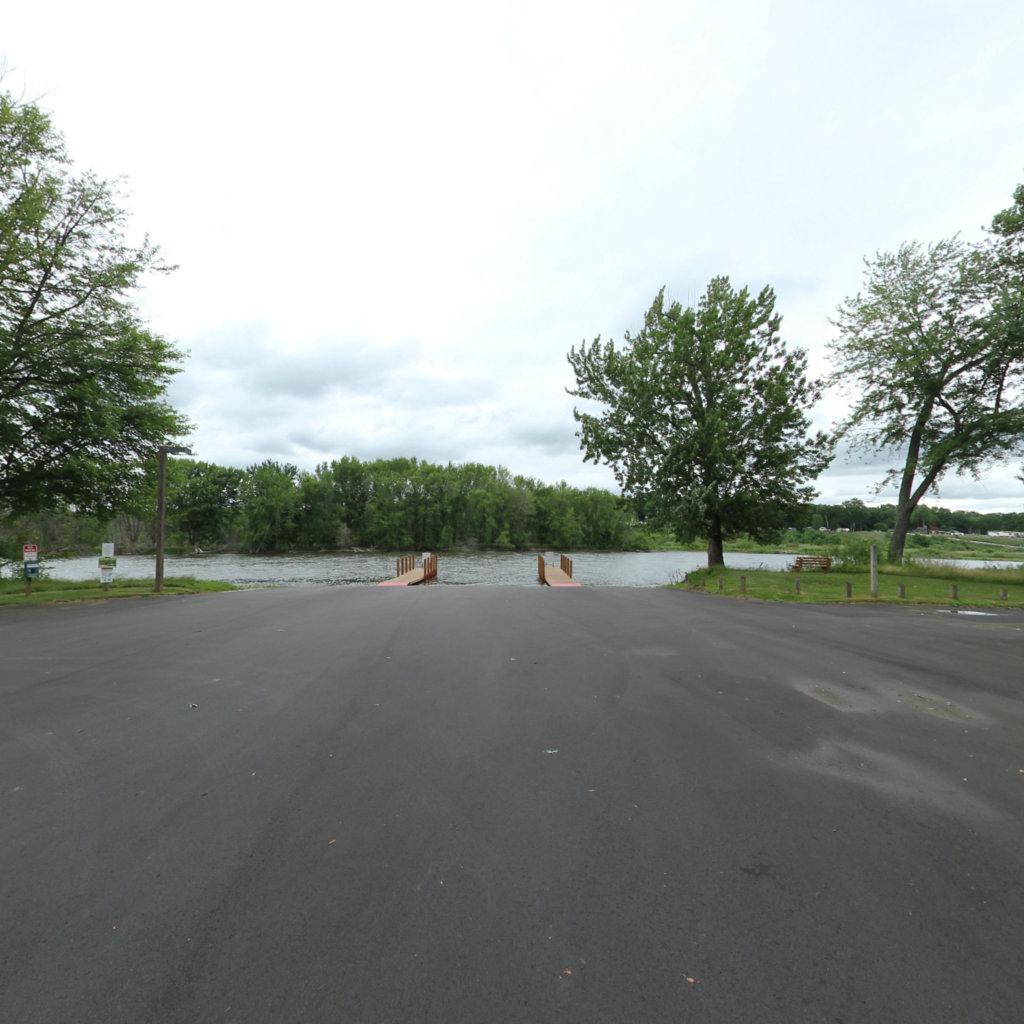
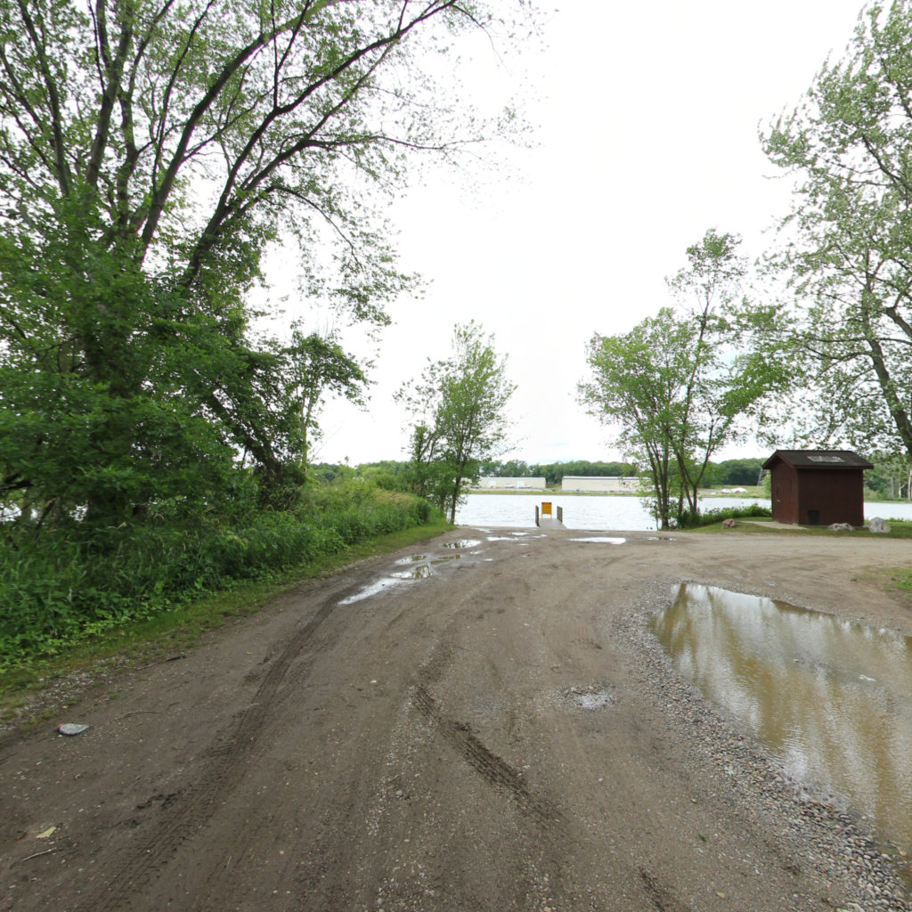
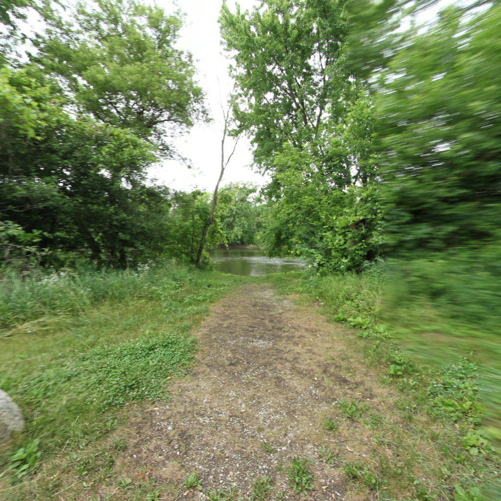
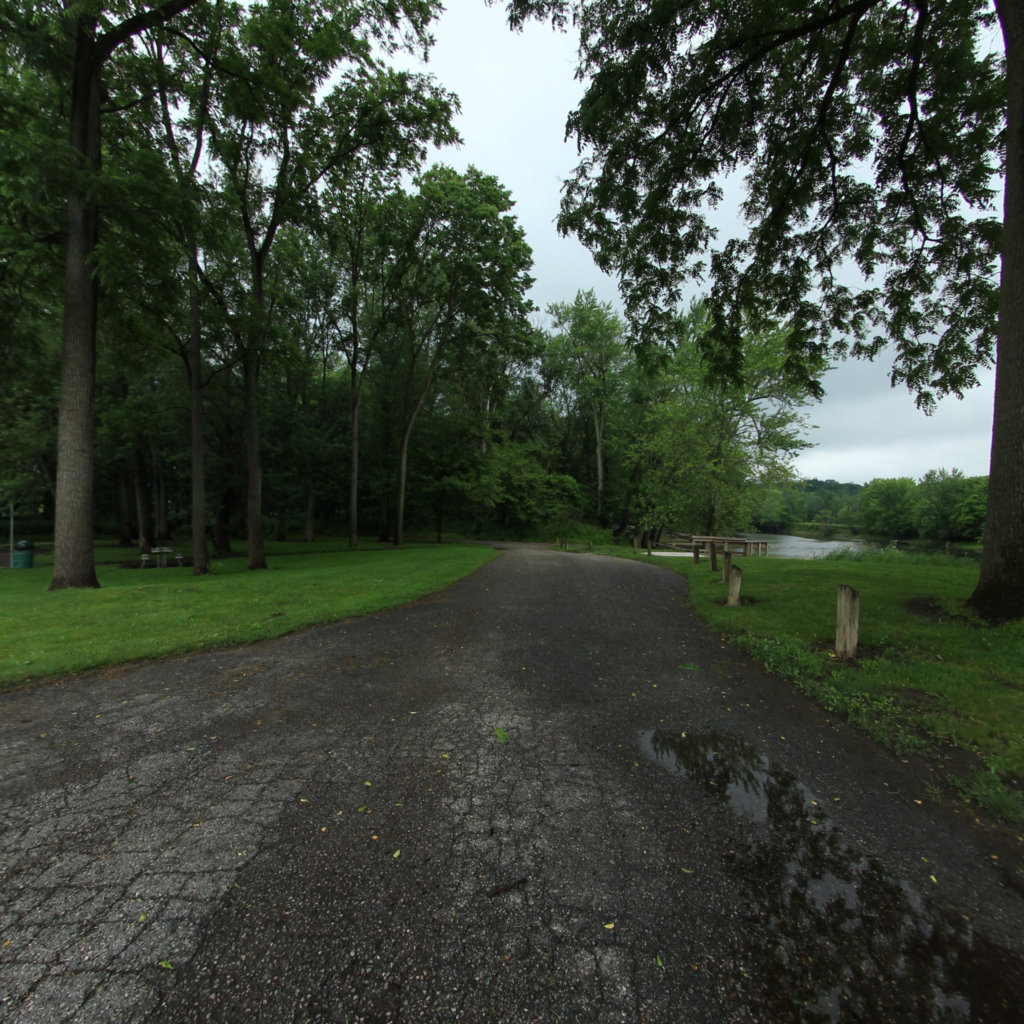
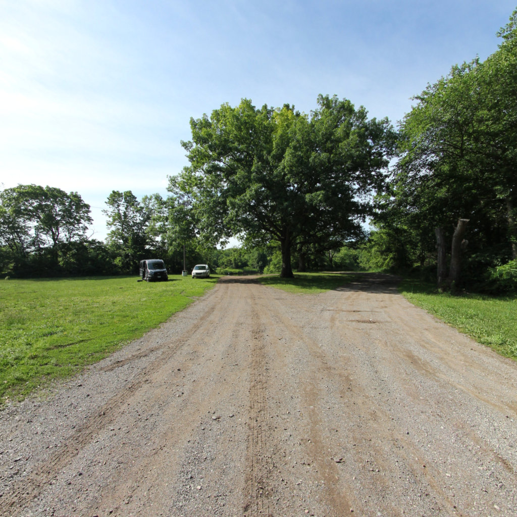
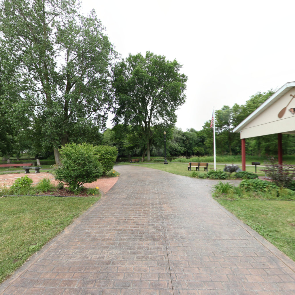
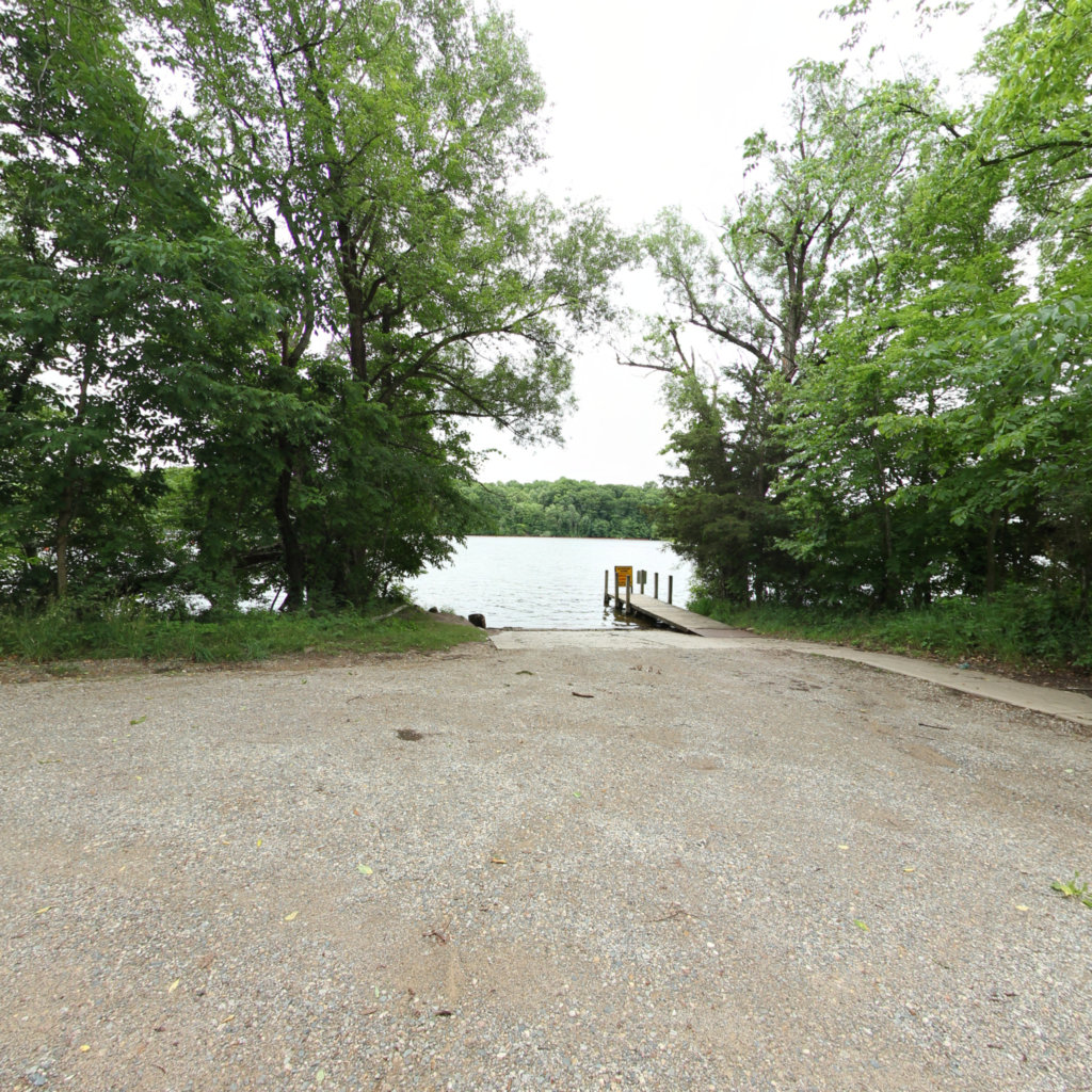
The Lower Grand River Watershed covers the lower portion of the Grand River that drains into Lake Michigan from Ionia County. There are many subwatersheds within the Lower Grand River Watershed (see map). You can find your watershed using the Find My Watershed tool. The Grand River is the longest river in Michigan, spanning 252 miles, and was named O-wash-ta-nong, meaning Far-Away-Water, by Native Americans who lived there prior to settlement.A “watershed” is an area of land, defined by hills and ridges that drain to a common body of water. Groundwater and surface water are connected within a watershed, and both supply our drinking water, agricultural irrigation, and manufacturing processes. The Lower Grand River watershed offers opportunities for recreation, like fishing and paddling, and provides vital habitat to plants and animals. It is important to protect the quality of our watershed because human activity can create various forms of pollution, including runoff and erosion, which interfere with the health of the watershed.