Explore the Wild Badlands and River Canyons of Missouri Breaks: Montana's Untamed Wilderness
8
segments
108.6
miles
Project partners
Lewis & Clark National Historic Trail
About this collection
Missouri River Breaks National Monument
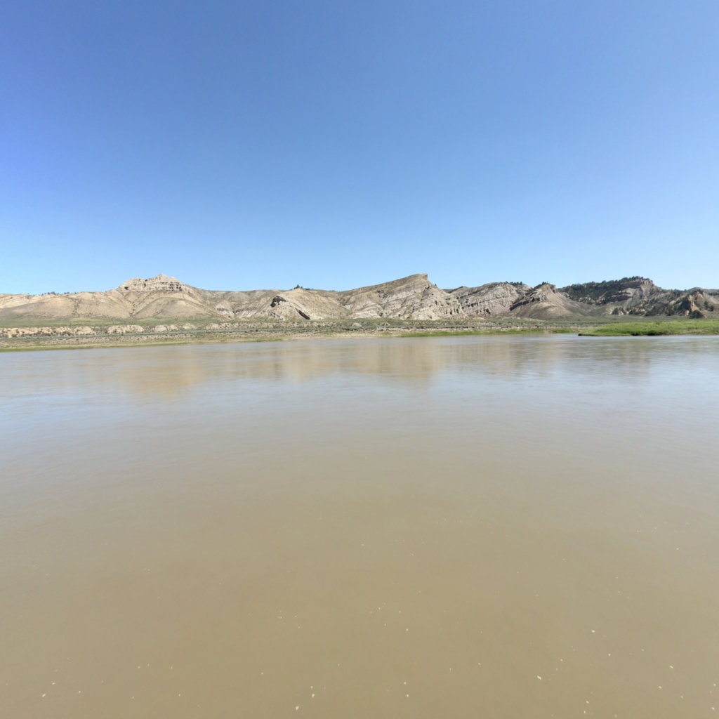
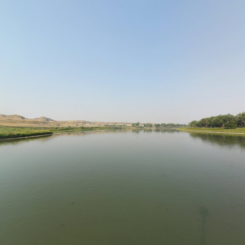
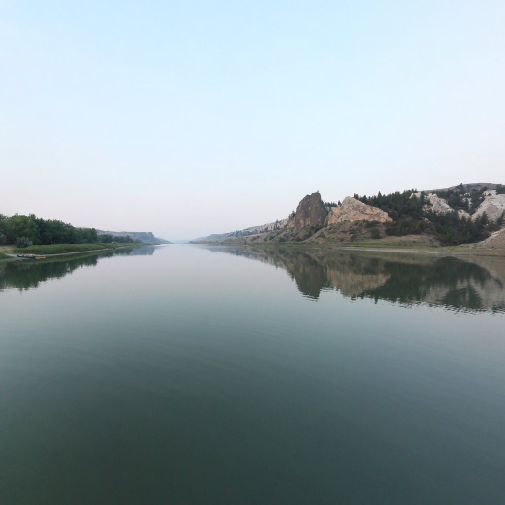
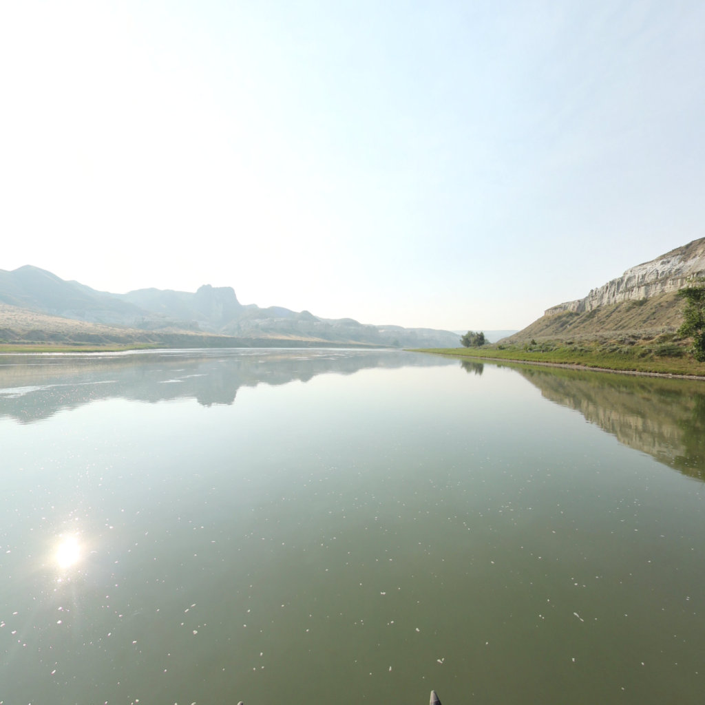
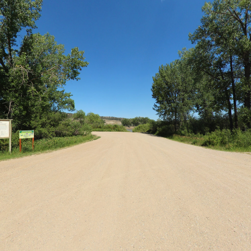
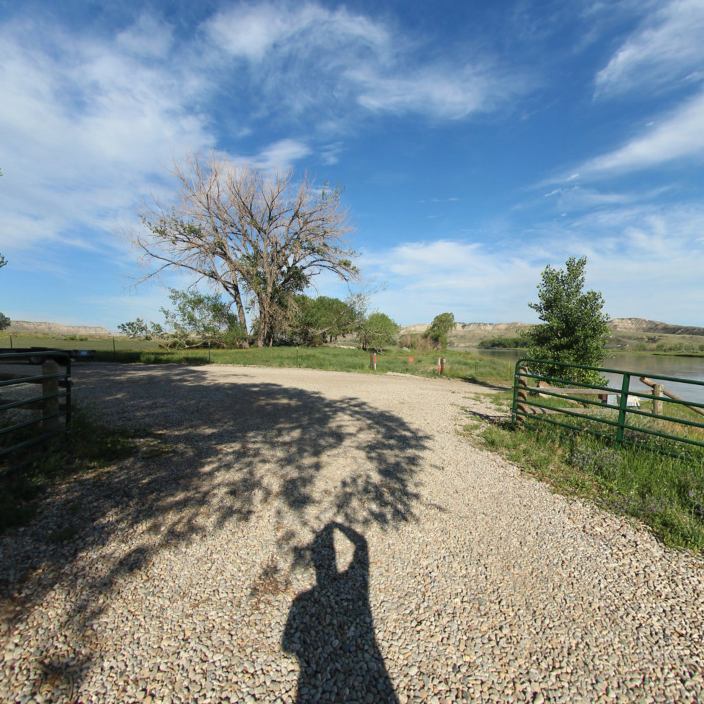
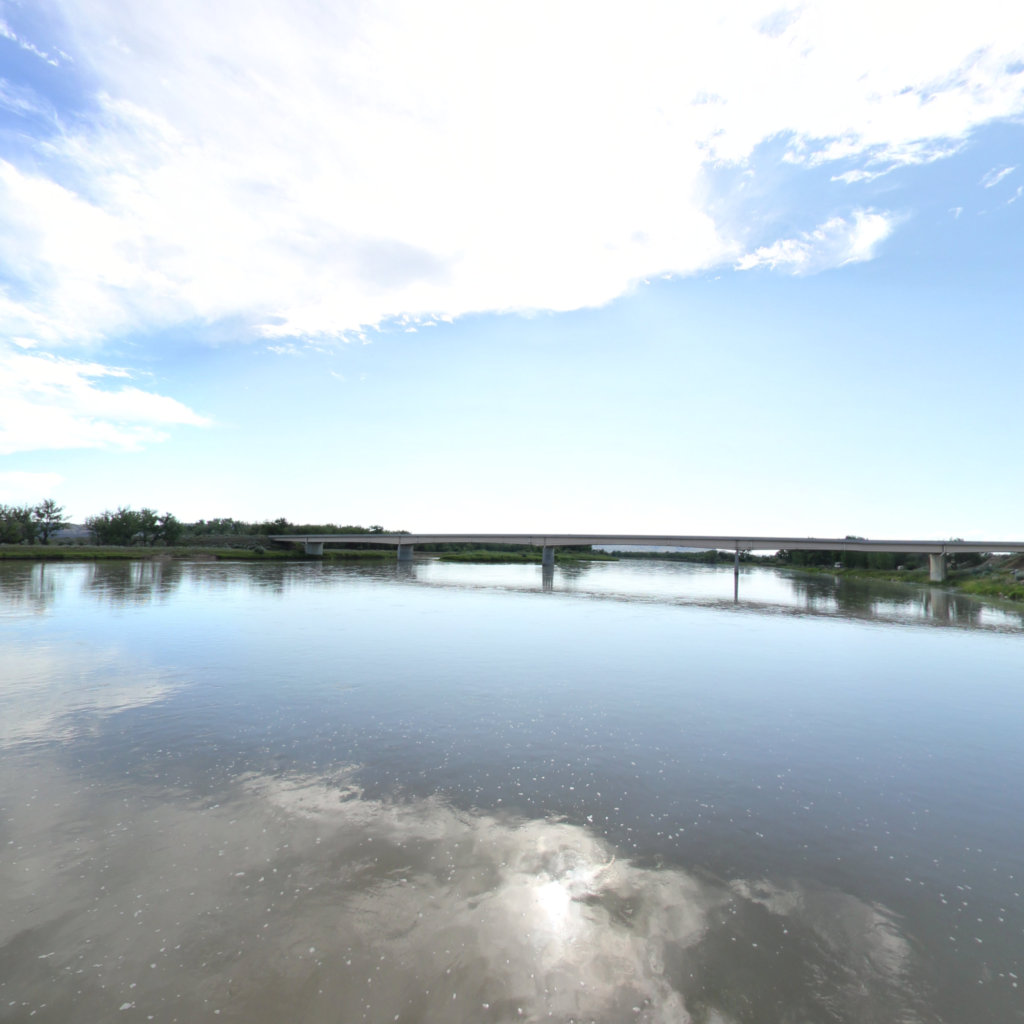
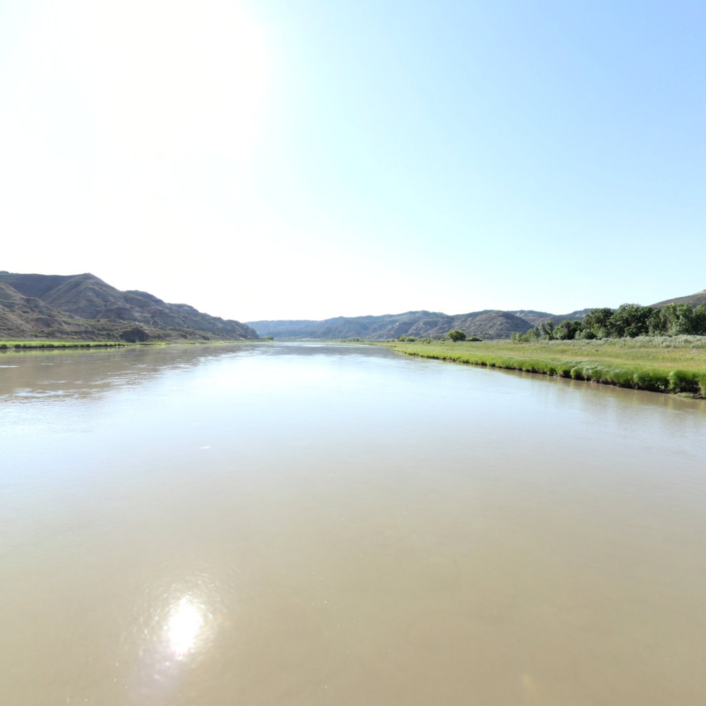
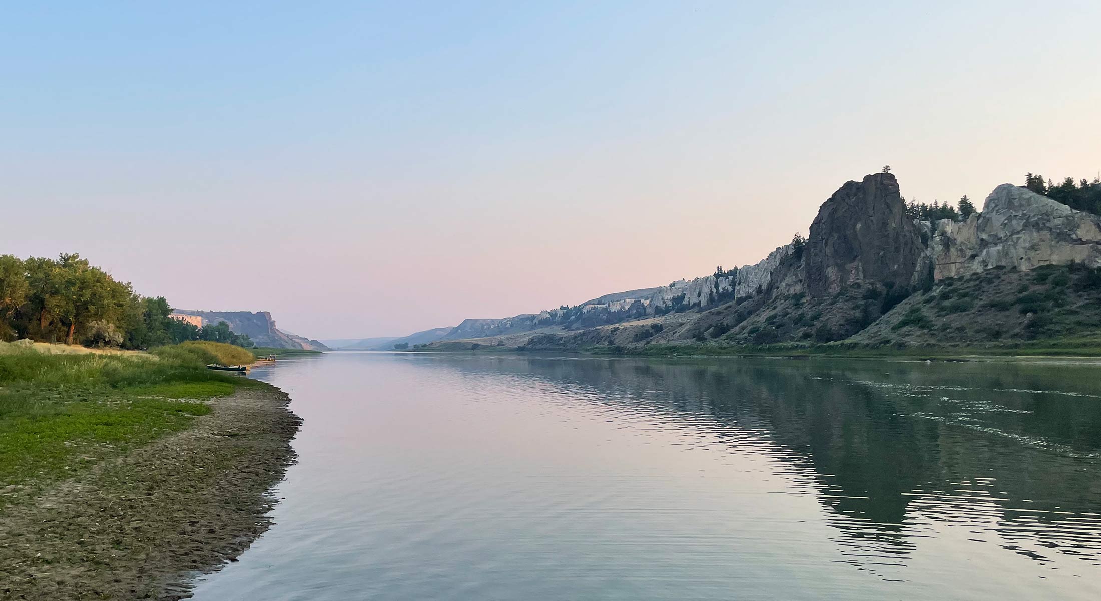
The Upper Missouri River Breaks National Monument stands as a testament to the raw, untamed beauty of Montana's wilderness, spanning hundreds of thousands of acres along the Missouri River. This dramatic landscape features sharp-edged cliffs, deeply carved river breaks, and rugged badlands that have remained largely unchanged since Lewis and Clark's historic expedition passed through in 1805. The monument's unique geological formations, created by millions of years of erosion, showcase striking white sandstone formations, prehistoric fossils, and native prairie grasslands that paint a vivid picture of the American West.
The monument's network of eight trails offers adventurous visitors diverse ways to experience this pristine wilderness. Whether hiking along the river's edge, exploring remote backcountry paths, or following historic wagon trails, each route provides intimate encounters with the region's abundant wildlife and spectacular views. Visitors can witness golden eagles soaring above the breaks, spot bighorn sheep navigating steep cliffs, or paddle sections of the wild and scenic Missouri River. The monument is particularly spectacular during sunrise and sunset when the changing light transforms the colorful rock formations into a natural canvas of orange, pink, and purple hues.
Explore the map
Click anywhere on the line to drop into that spot in 360°.
 Lewis & Clark National Historic Trail