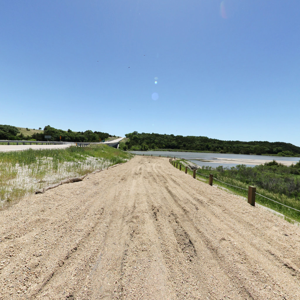
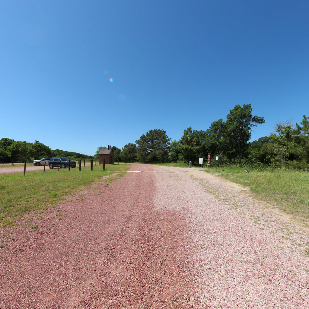
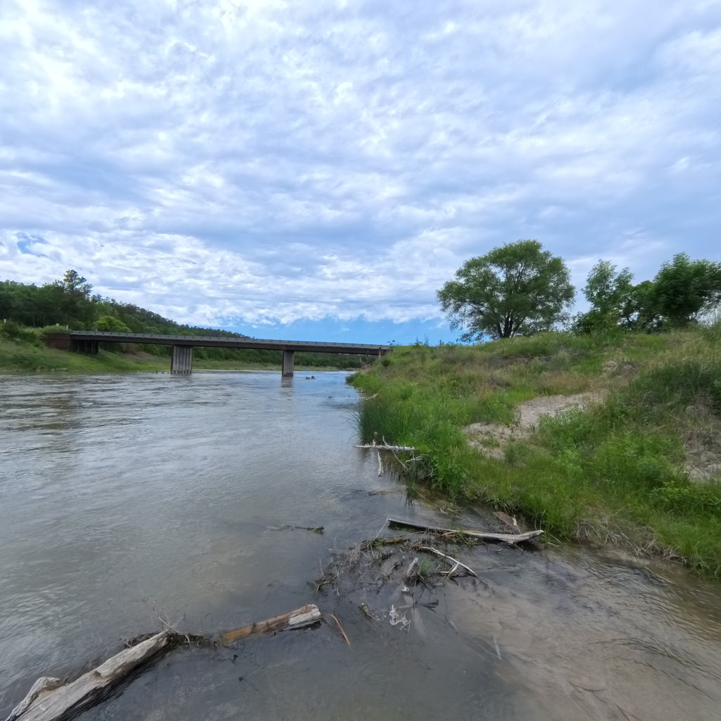
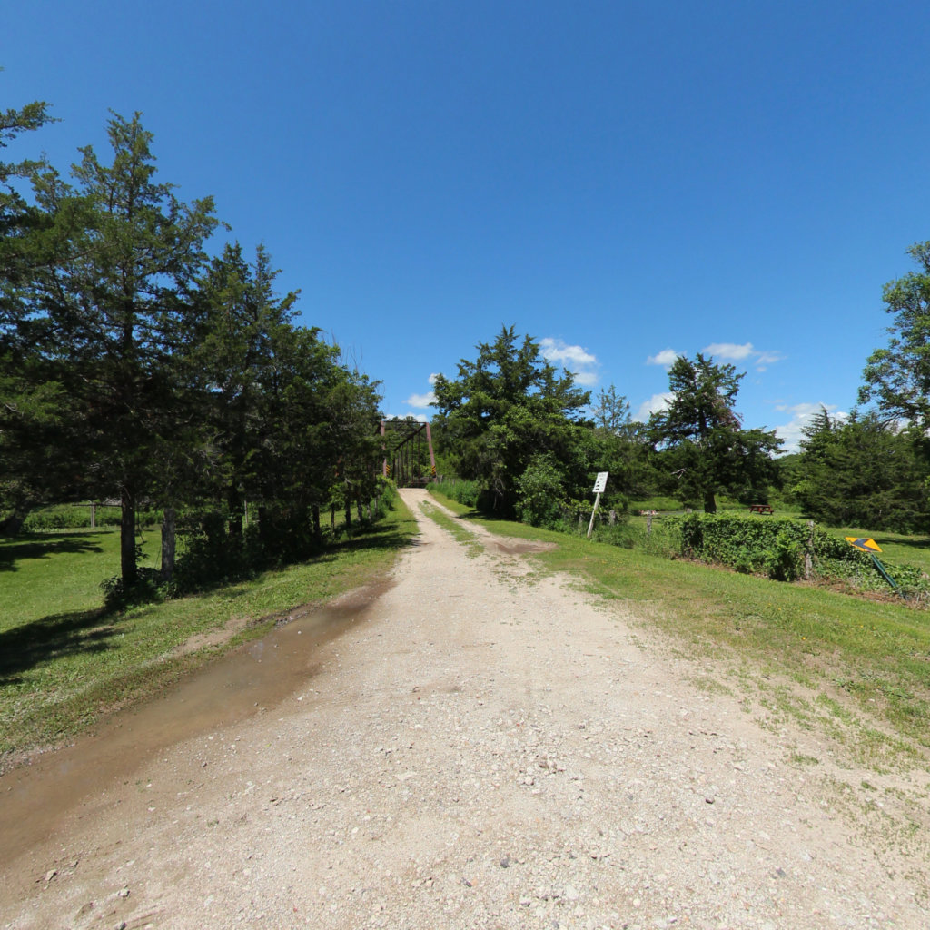
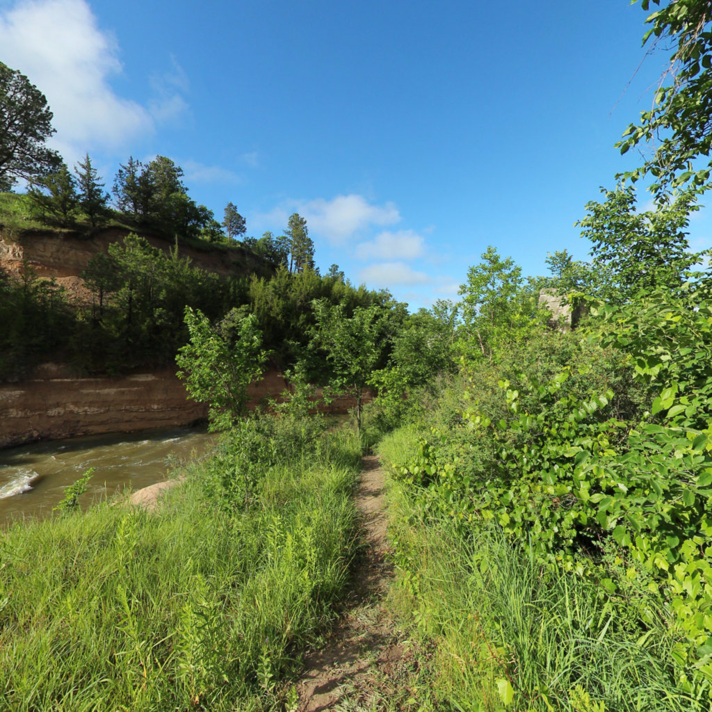
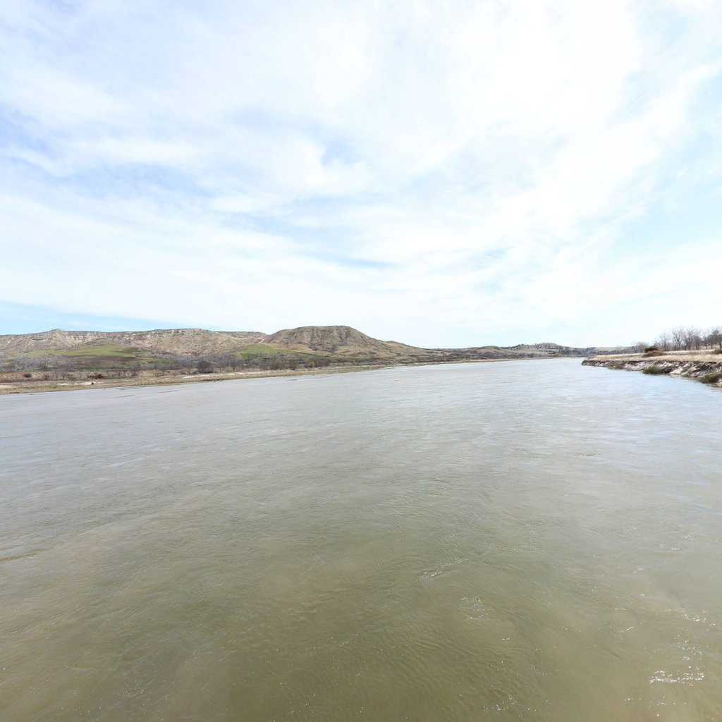
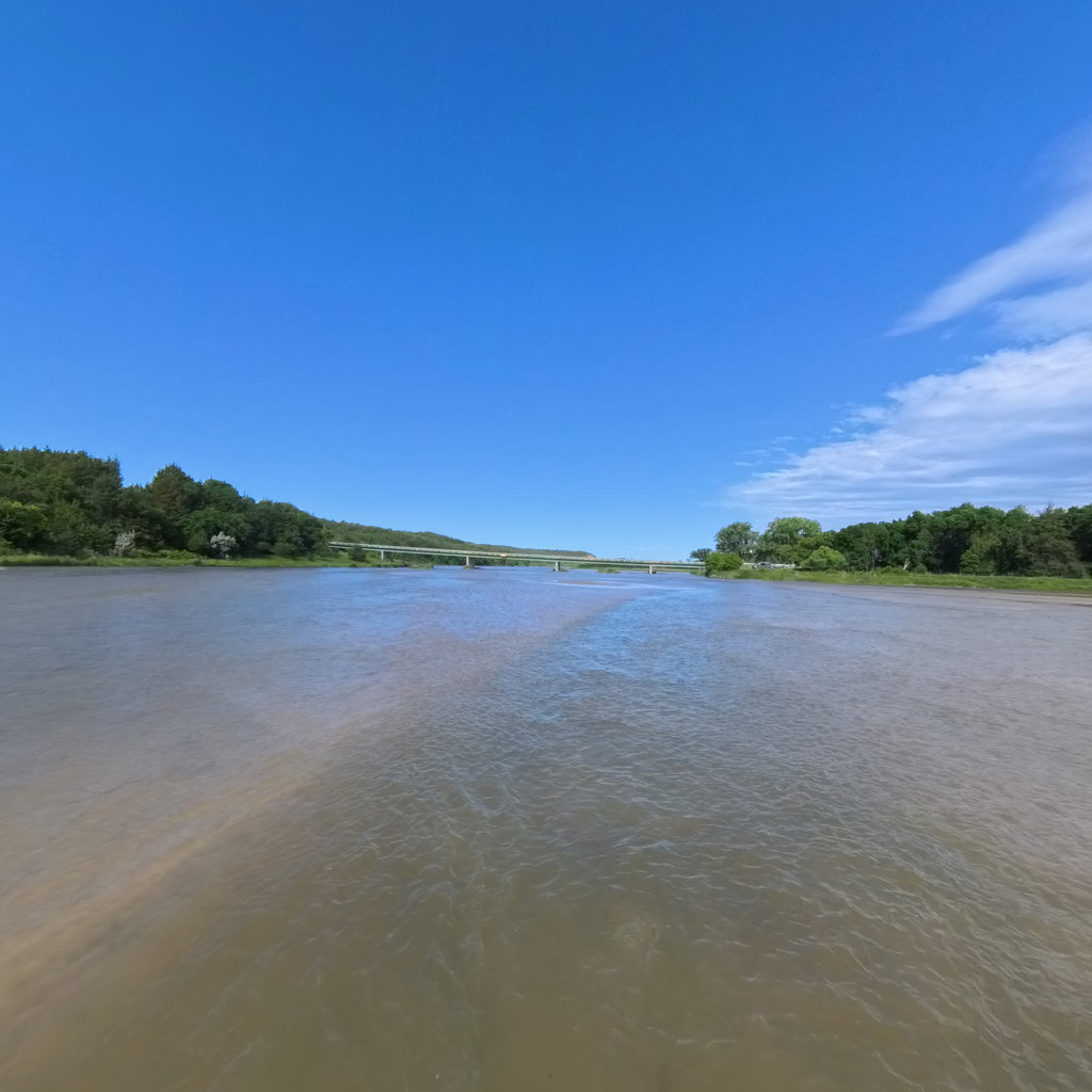
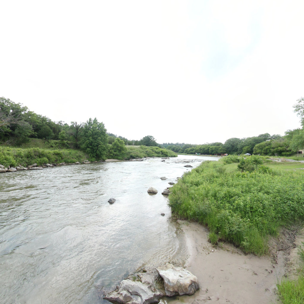
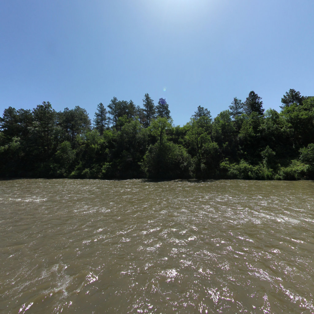
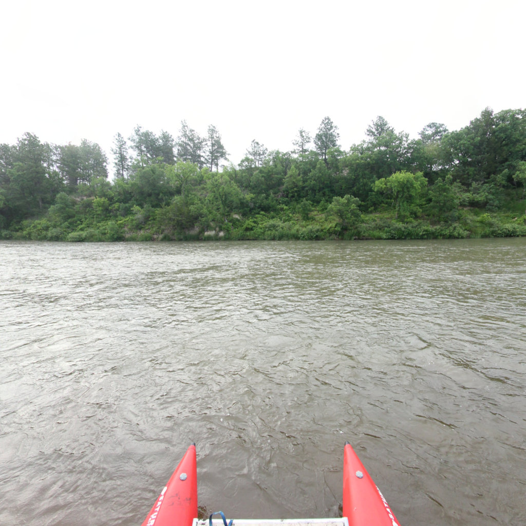
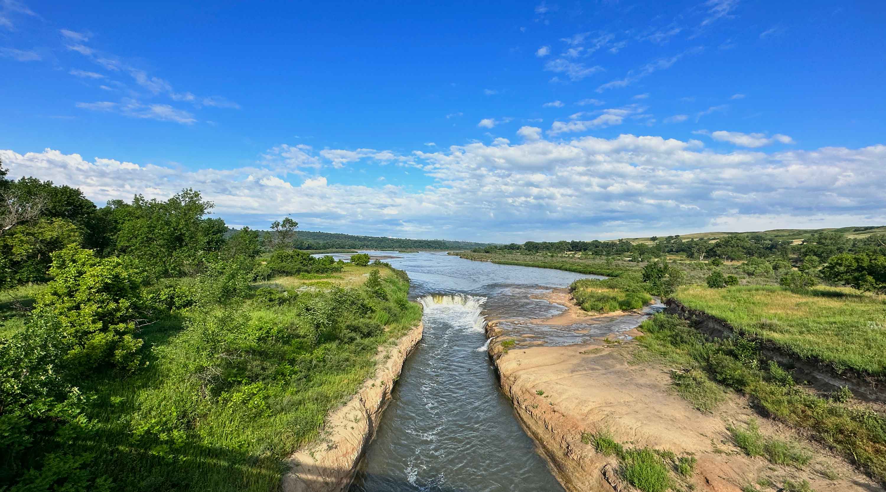
Niobrara River Terrain360 Map Collection

Niobrara River: Nebraska's Wild and Scenic Water Trail Paradise

The Niobrara River stands as one of the Midwest's most treasured waterways, cutting through Nebraska's heartland with graceful beauty and natural wonder. This National Scenic River flows through dramatic sandstone bluffs, rolling prairies, and diverse ecosystems, creating a unique corridor where eastern and western species of plants and wildlife converge. The river's crystal-clear waters and consistent flow make it an ideal destination for outdoor enthusiasts year-round, while its surrounding landscape showcases thousands of years of geological history. With 11 distinct trails totaling over 140 miles of exploration opportunities, visitors can experience the Niobrara from multiple perspectives. Whether you're planning a peaceful paddle down the river's gentle current, hiking along the rim trails for breathtaking valley views, or searching for the numerous waterfalls that cascade into the main channel, the Niobrara offers something for everyone. Popular activities include tubing, kayaking, and canoeing during summer months, while the surrounding trails provide excellent opportunities for bird watching, photography, and witnessing the diverse wildlife that calls this river valley home. The area is particularly stunning during sunrise and sunset when the sun's rays paint the sandstone cliffs in brilliant hues of orange and pink.

Total Segments: 11

138 Access (0.03 mi)

42.78178, -99.334814
138 Access scene image looking forward

Fort Niobrara Launch (0.06 mi)

42.899782, -100.483896
Fort Niobrara Launch scene image looking forward

Meadville to Rt 7 (14.9 mi)

42.751618, -99.85056
Meadville to Rt 7 scene image looking forward

Norden Chute (0.07 mi)

42.786955, -100.035279
Norden Chute scene image looking forward

Rt 7 to Rt 137 (16.03 mi)

42.722301, -99.58683
Rt 7 to Rt 137 scene image looking forward

Sparks Access (0.03 mi)

42.875722, -100.265938
Sparks Access scene image looking forward

Sparks to Norden Chute (9 mi)

42.831635, -100.154217
Sparks to Norden Chute scene image looking forward

Explore the Map

Click on any line in the map to explore the location in street view.

Sparks to Norden Chute