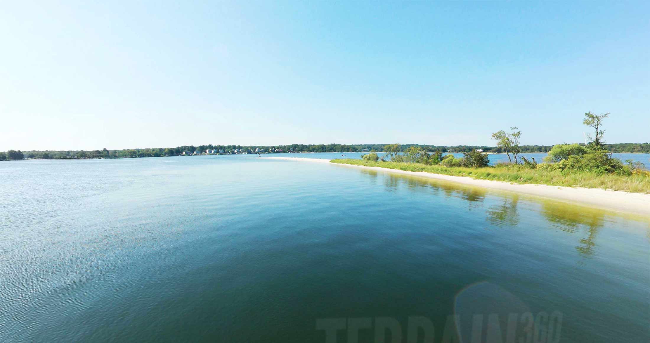

Click on any trail to explore in 360°
6 Segments
Native Americans have lived along the Patuxent River since at least 6500 BC. An archaeological dig at <a href="https://en.wikipedia.org/wiki/Bristol,_MD" target="" rel="">Pig Point</a> (just north of <a href="https://en.wikipedia.org/wiki/Jug_Bay_Wetlands_Sanctuary" target="" rel="">Jug Bay</a> at the end of Wrighton Road) uncovered the oldest known artifacts in the Mid Atlantic states, including pottery, arrow and spear points and remnants of wigwams, fires and foodways. The site was probably a center of trade in the region and has one of the best unbroken archaeological records on the East Coast. The Pig Point site includes the oldest structures ever found in Maryland, wigwam post holes dating to the 3rd century.
Chesapeake Conservancy
Jody Couser
info@chesapeakeconservancy.org
716 Giddings Avenue Suite 42
Annapolis, MD 21401
(443) 321 3610