Contact
Mallows Bay - Potomac River
Map collection · A National Marine Sanctuary

Mallows Bay - Potomac River

Mallows Bay -The Chesapeake's First Ever National Marine Sanctuary
4
segments
12.9
miles
Project partners
About this collection

Mallows Bay - Potomac River

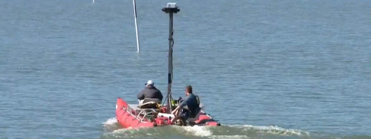
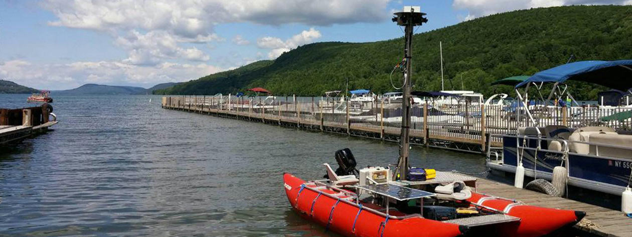
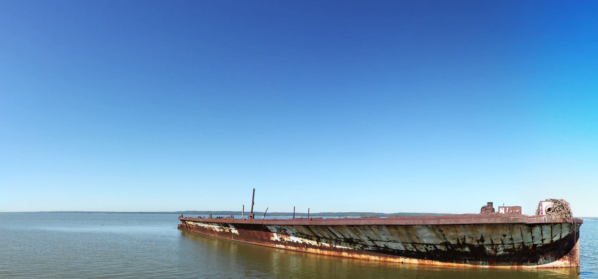
Mallows Bay - Potomac River is a NOAA National Marine Sanctuary. As a core partner in the nomination process, the Chesapeake Conservancy is thrilled that Mallows Bay is the first to become a National Marine Sanctuary (NMS) designated in more than 20 years and the first ever in the Chesapeake. We are pleased to bring you this virtual tour of Mallows Bay which boasts the largest collection of historic shipwrecks in the Western Hemisphere. Its "ghost fleet" includes over 100 wooden steamships built for the U.S. Emergency Fleet during World War I, an effort that propelled America to the forefront of shipbuilding, as well as many other wrecks from Revolutionary times through the 1900s. These wrecks support diverse ecosystems that are teeming with marine life, attracting recreational fishing and ecotourists to the area.

Explore the map

Click any line to drop into 360° street view.
Interactive · live map

Segment index

4 segments · grouped by area
Browsing a large collection? The interactive map is the fastest way to find a specific spot.
Featured trail

Mallows Bay - Potomac River

In the news

News & updates

Recognition

Conservation Partner

Chesapeake Conservancy 
Jody Couser 
info@chesapeakeconservancy.org
716 Giddings Avenue Suite 42 
Annapolis, MD 21401
(443) 321 3610