Capt. John Smith's trail gets virtual update
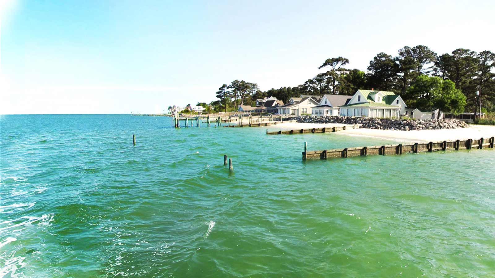
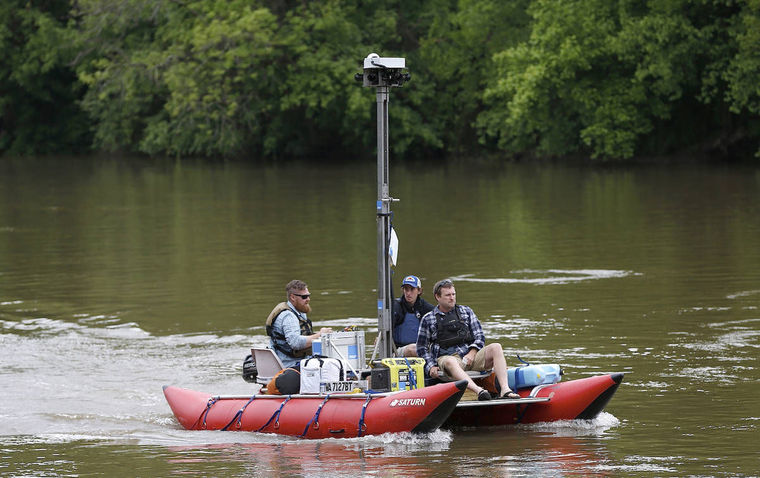
A quirky-looking craft launched at Fredericksburg’s City Dock Monday will soon give people a virtual tour of the Rappahannock River. Read More: http://www.fredericksburg.com/news/local/fredericksburg/capt-john-smith-s-trail-gets-virtual-update/...
Read →