Contact
River Raisin Water Trails
Map collection

River Raisin Water Trails

5
segments
36.9
miles
Project partners
Partner logo Partner logo Southeast Michigan Trails
About this collection

River Raisin Water Trails

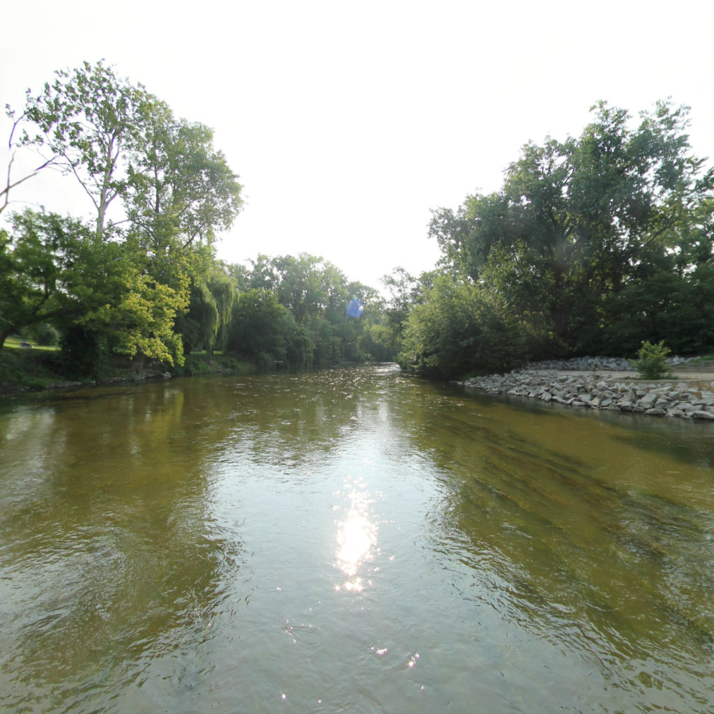
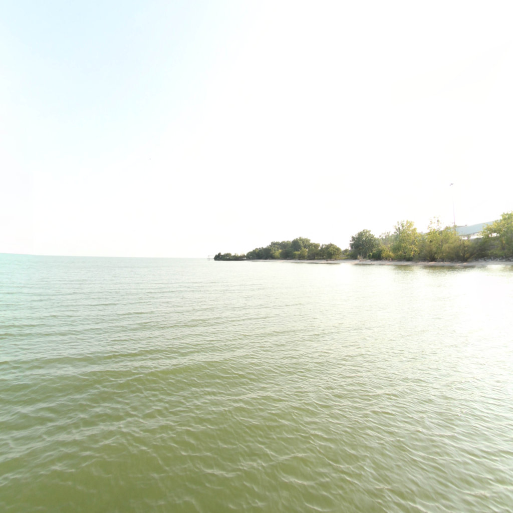
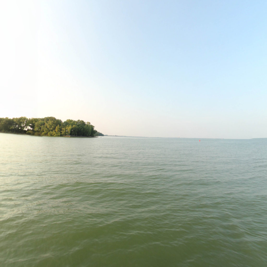
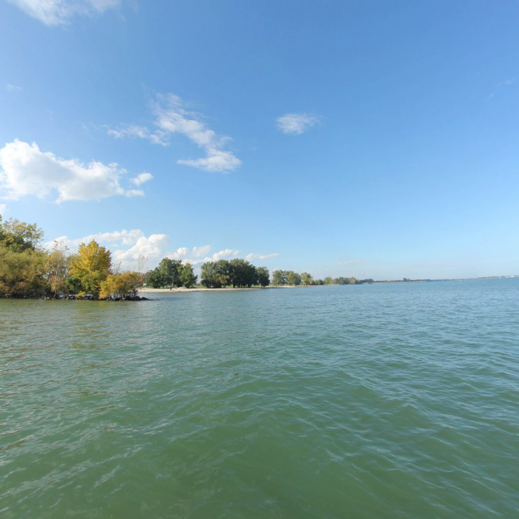
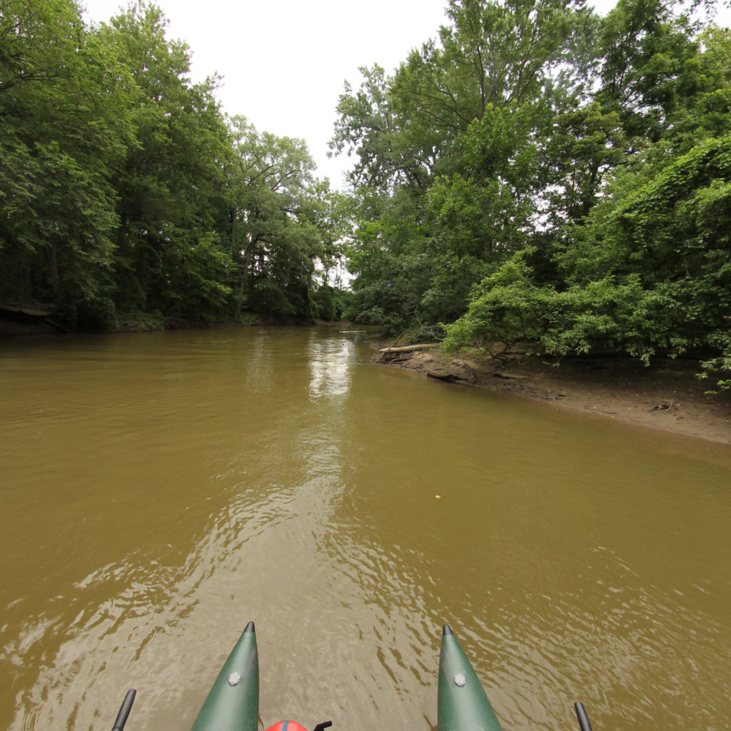
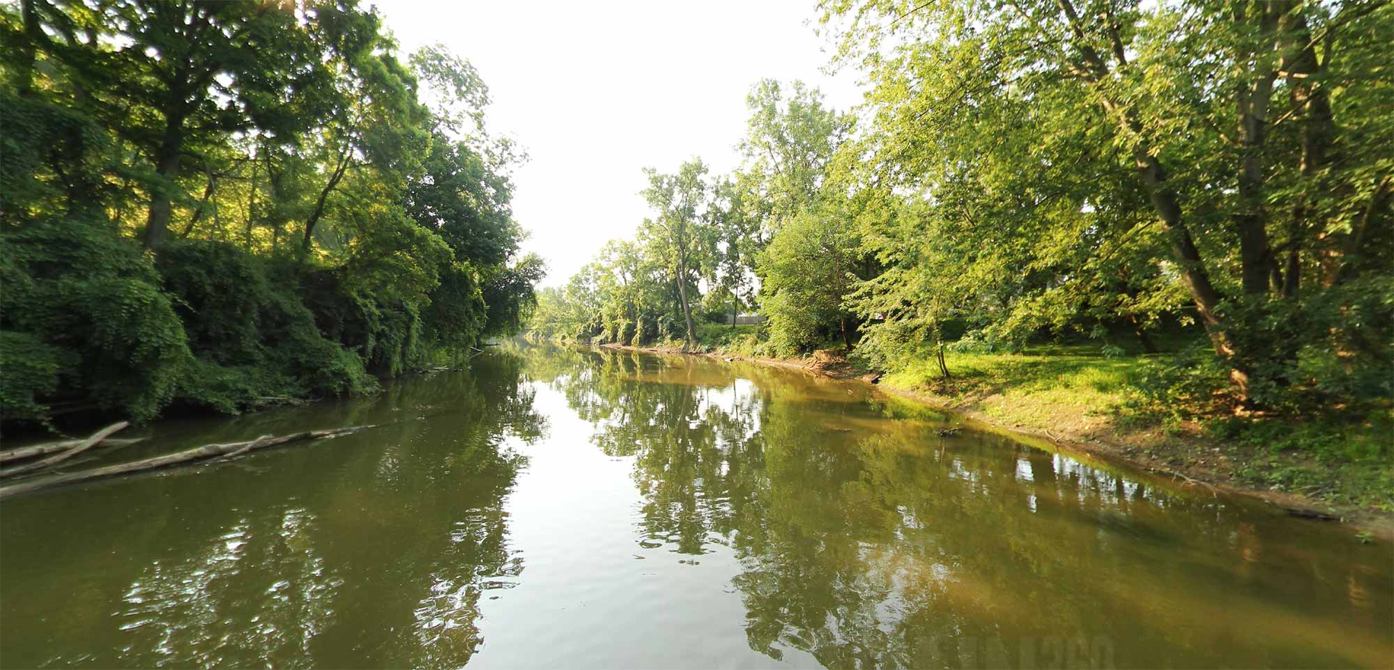
Explore 25 miles of water trail, including three main sections of paddling routes along the River Raisin: the Upper Route beginning in downtown Dundee; the Middle Route from Raisinville Township through the City of Monroe; and the Lower Route connecting downtown Monroe to Sterling State Park, Brest Bay, and Lake Erie. 
Explore the map

Click any line to drop into 360° street view.
Interactive · live map

Segment index

5 segments · grouped by area
Browsing a large collection? The interactive map is the fastest way to find a specific spot.
Featured trail

River Raisin Water Trails

Nearby collections & trails

More places to explore