Click on any trail to explore in 360°
29 Segments
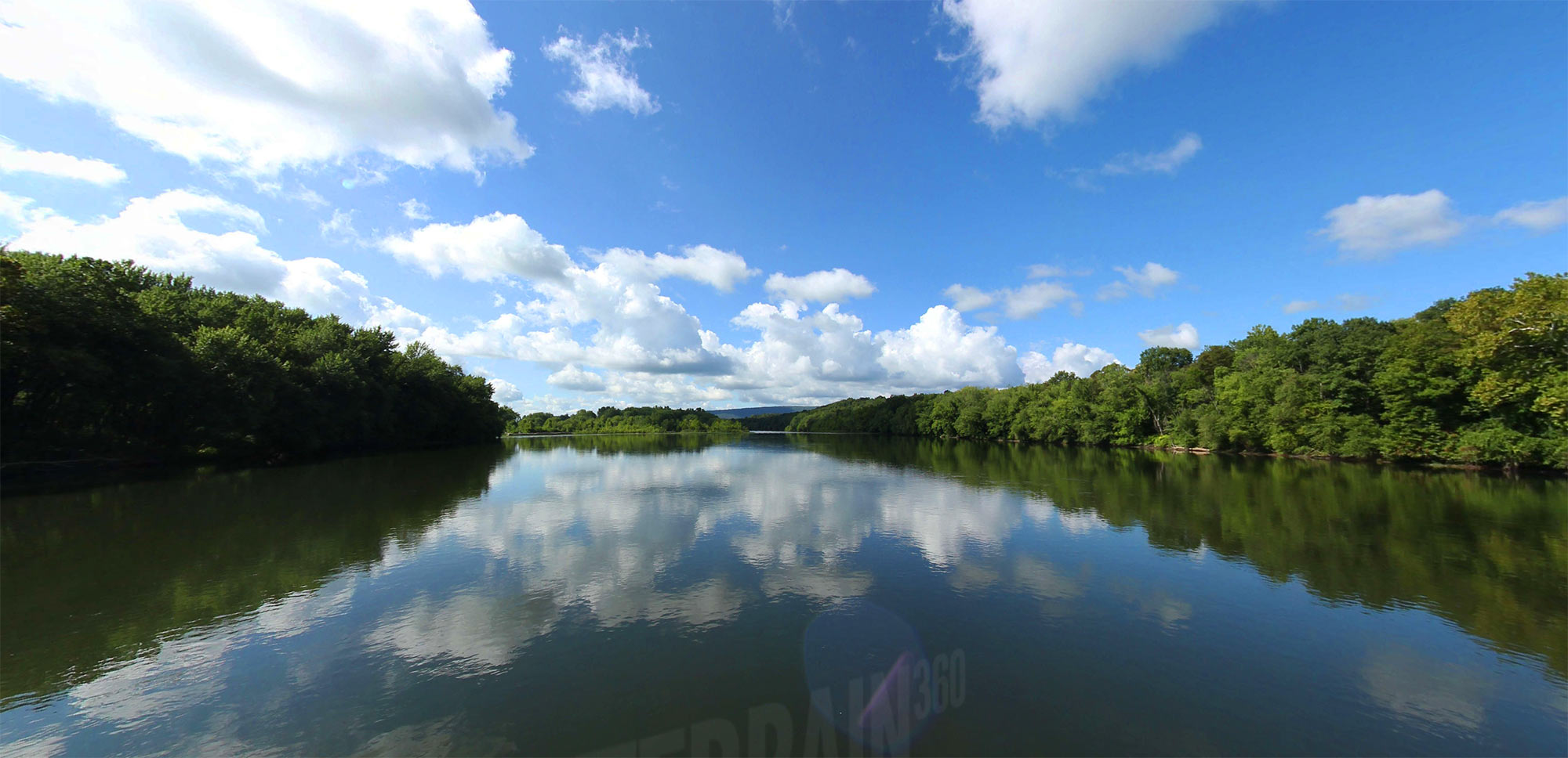
Explore the beauty of western PA
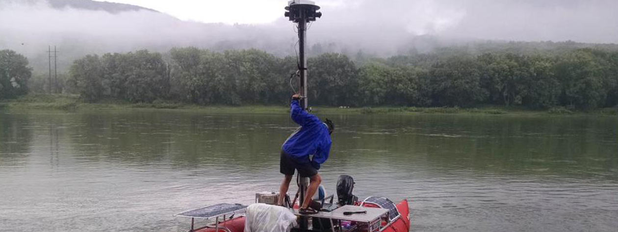
The Chesapeake Bay Conservancy-Terrain360 collabo is like Google Street View for rivers. The boat will travel about 1,100 miles, snapping pictures along the way.
Chesapeake Conservancy
Jody Couser
info@chesapeakeconservancy.org
716 Giddings Avenue Suite 42
Annapolis, MD 21401
(443) 321 3610


Georeferenced 360° documentation for trails, rivers, and outdoor assets. Trusted by federal and state land managers.


