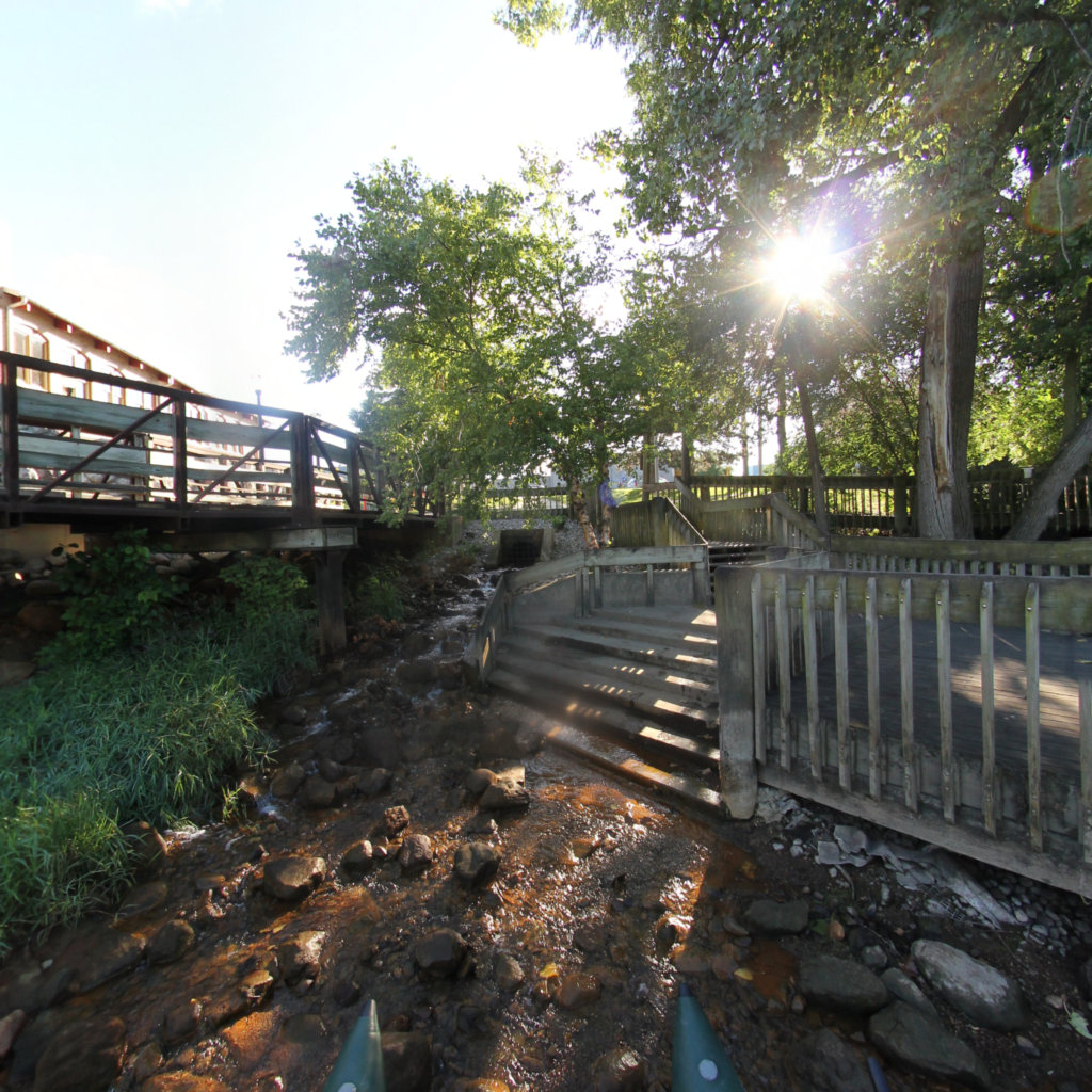
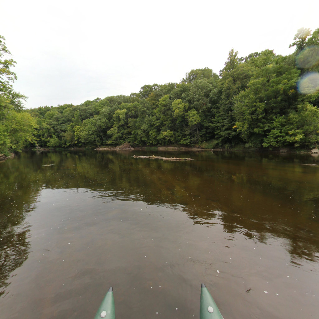
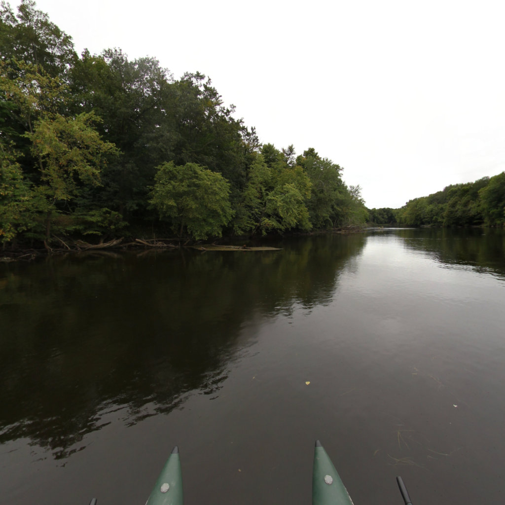
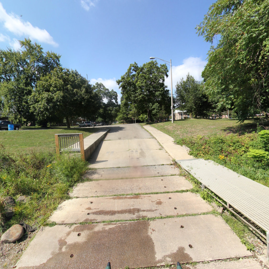
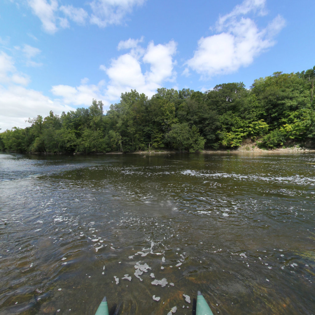
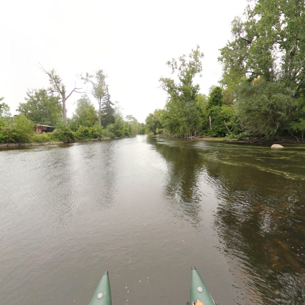
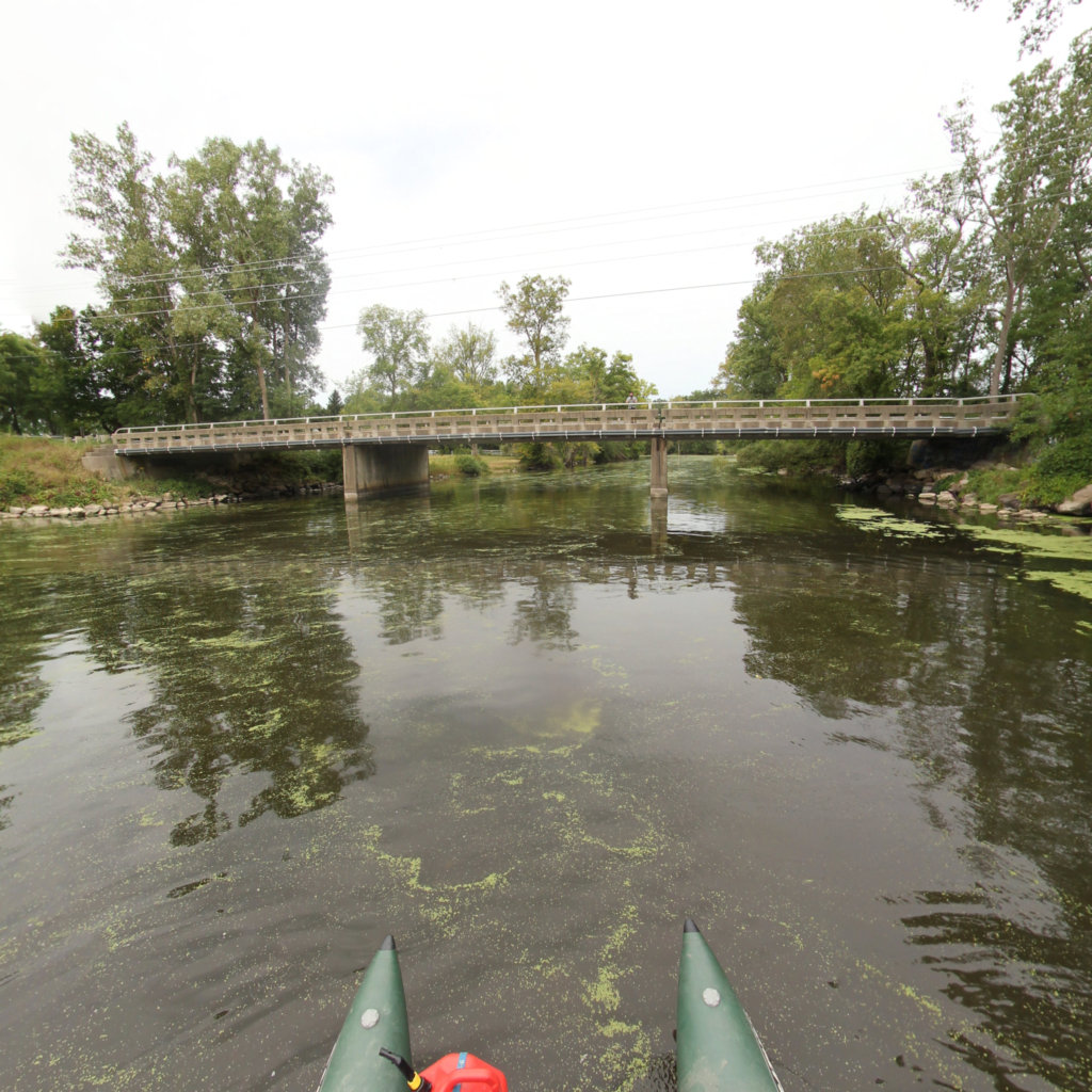
The Middle Grand River Water Trail (MGRWT) is an 87-mile
inland paddling trail that connects tourists and residents alike to the beauty
and history of Michigan’s longest river. With 33 well-established launch
sites, signage, and navigational tools, the MGRWT is accessible to both
beginners and skilled paddlers. Leisurely paddle to parks and restaurants on
the river’s slow moving backwaters through downtown Lansing, or experience some
of the state’s best smallmouth bass fishing in the remote, boulder-strewn runs further downstream. There’s a trip for everyone on the Middle
Grand; use this 360° virtual tour to help plan yours!
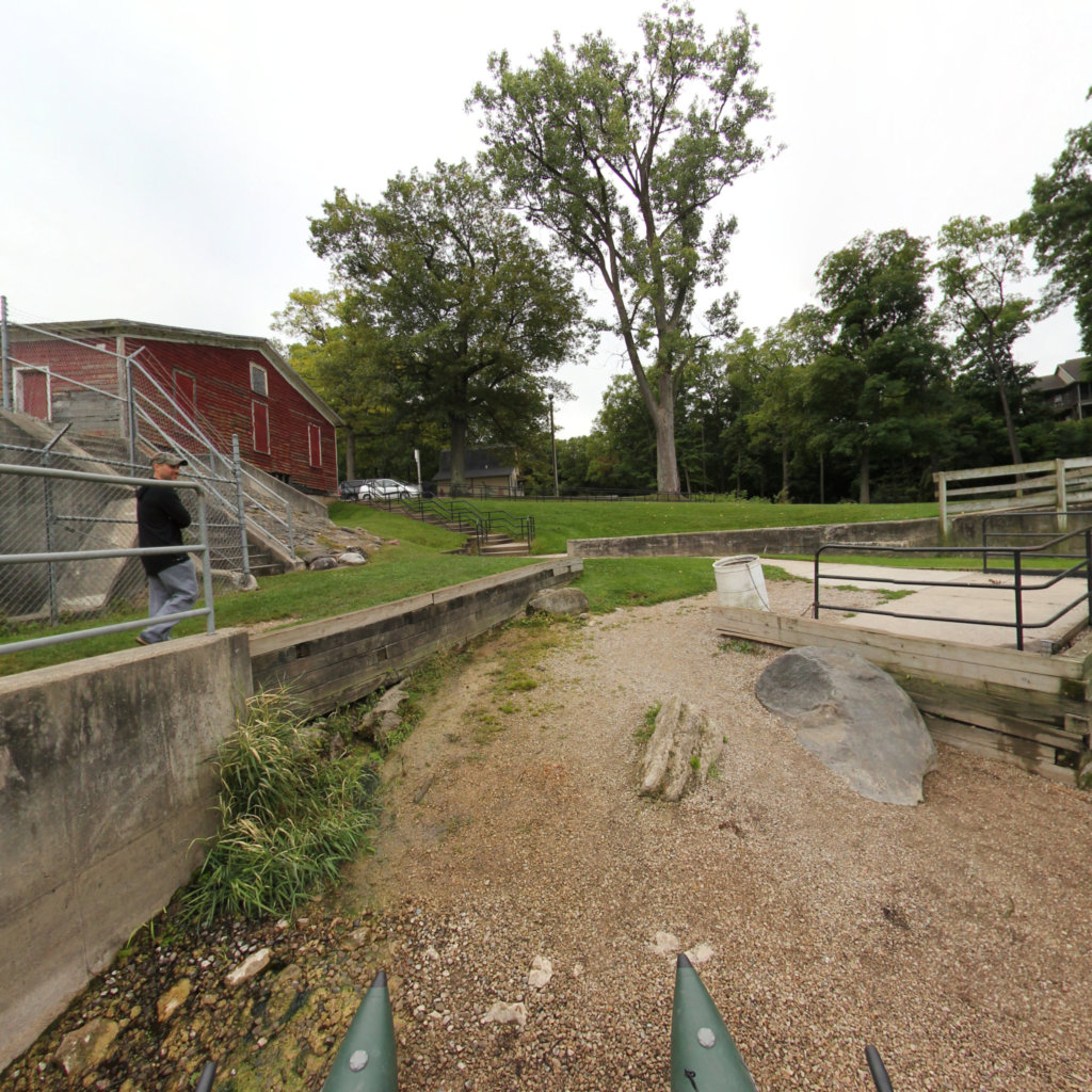
Jump ahead to access sites in the Highlights section below. Once in the 360° viewer, click the green text box with the access site label to launch site photos and list of attributes.
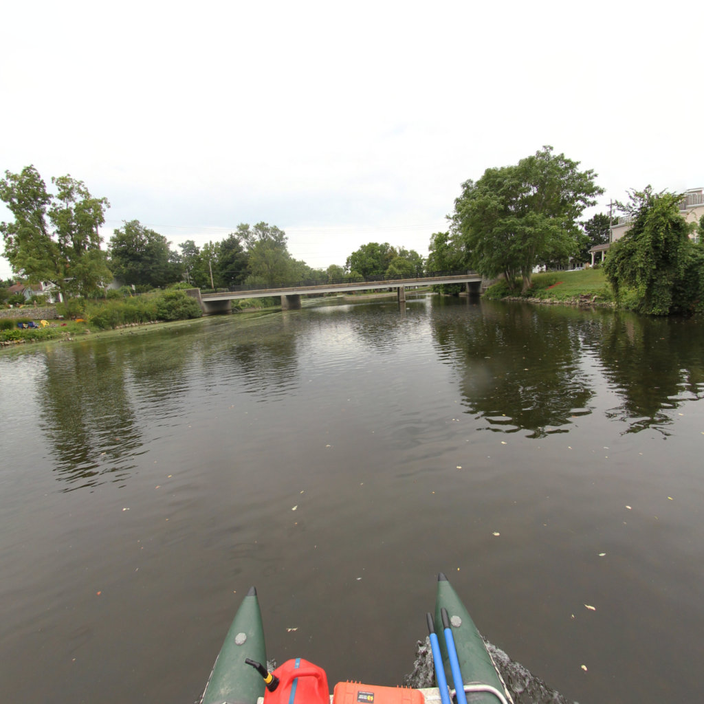
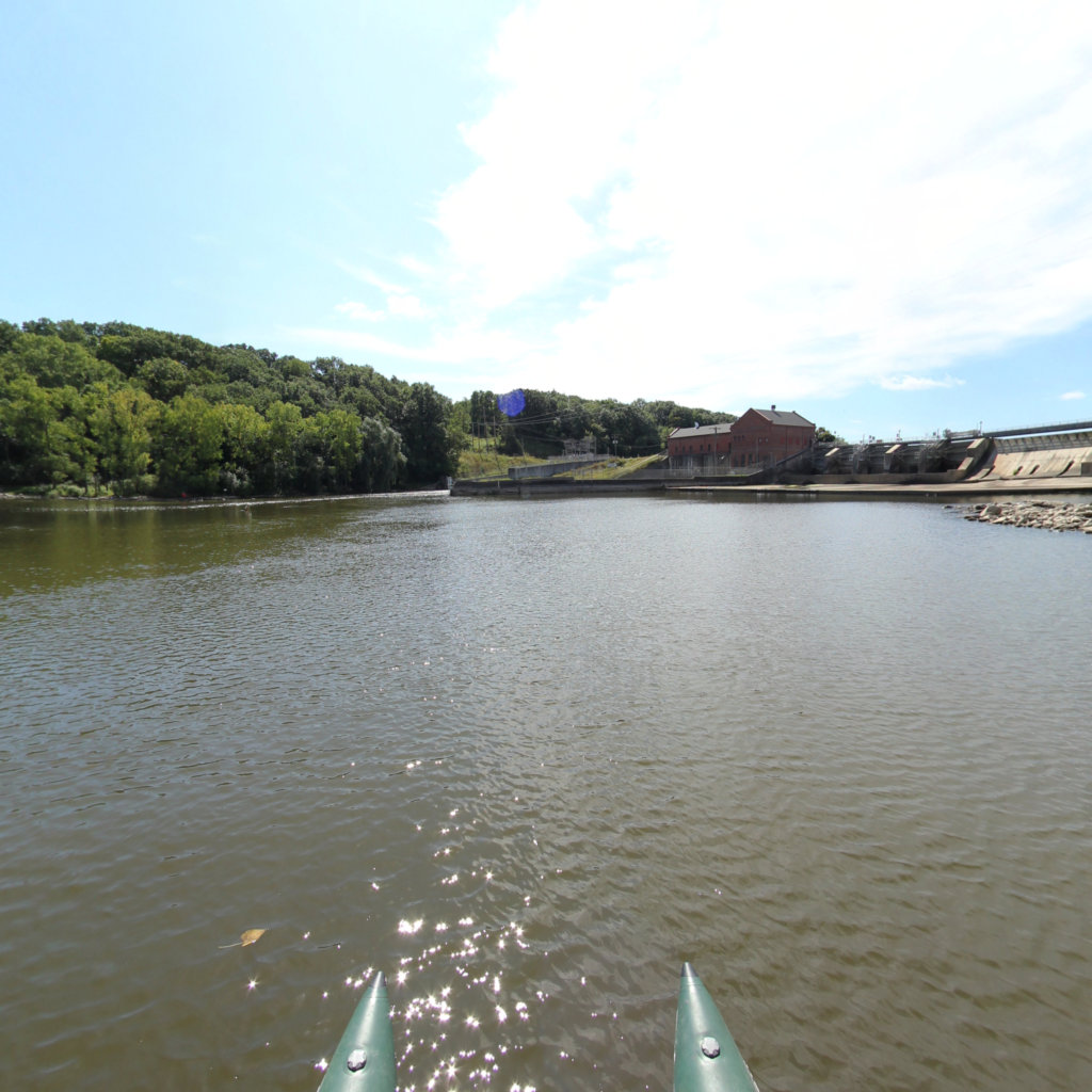
In the map viewer, green dots represent access sites. Orange dots represent hazards such as dam portages and swift water sections. Learn what to expect on the water by virtually visiting ahead of time.
Explore the map
Click anywhere on the line to drop into that spot in 360°.