The York River is a navigable estuary, approximately 34 miles (55 km) long, in eastern Virginia in the United States. It ranges in width from 1 mile (1.6 km) at its head to 2.5 miles (4.0 km) near its mouth on the west side of Chesapeake Bay. Its watershed drains an area including portions of 17 counties of the coastal plain of Virginia north and east of Richmond.
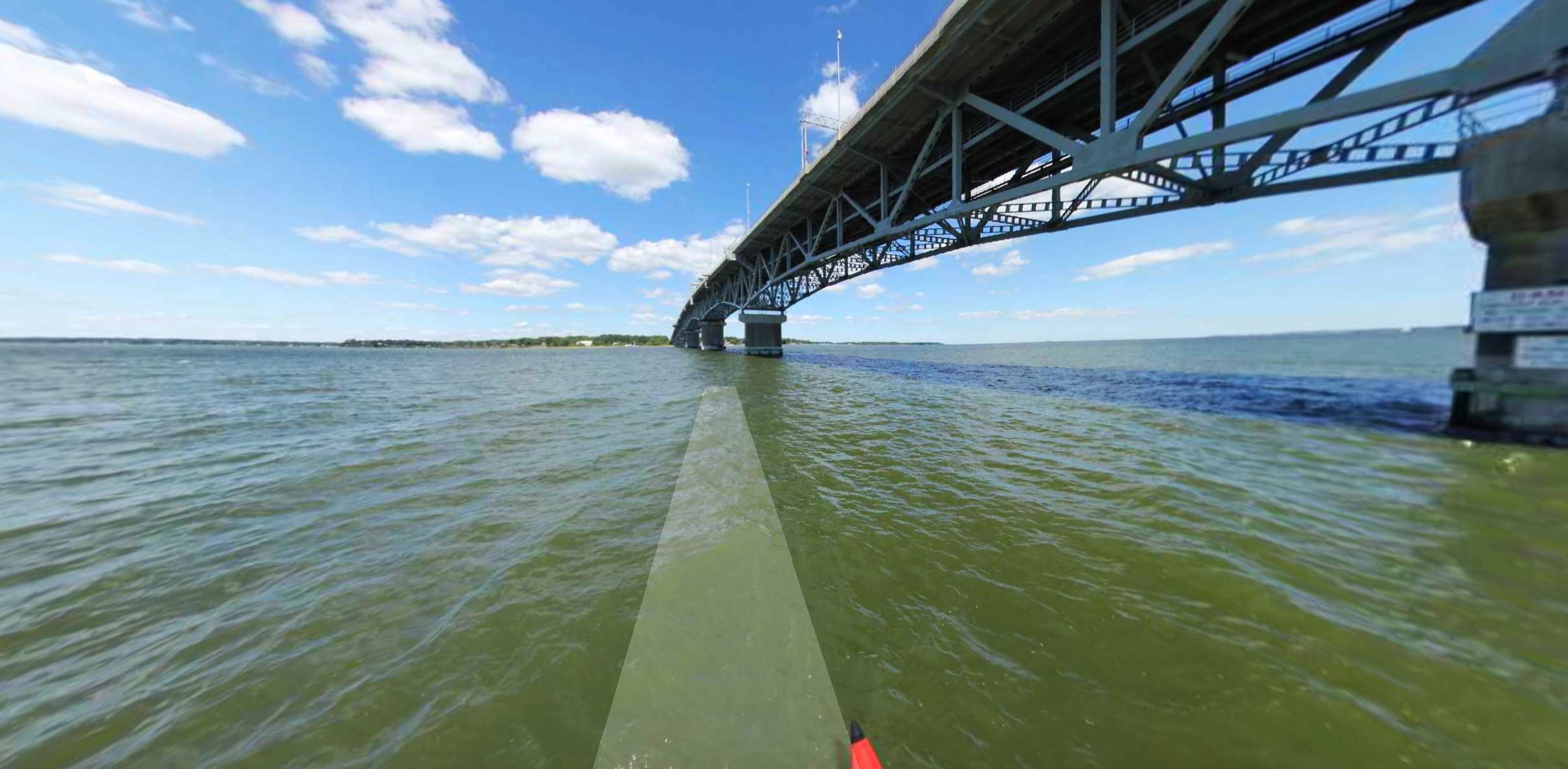
The York River is formed at West Point, approximately 35 miles (56 km) east of Richmond, by the confluence of the Mattaponi and Pamunkey rivers. It drains into the Chesapeake Bay towards the southeast, entering the bay approximately 5 miles (8 km) east of Yorktown, which sits along its southern shore. U.S. Highway 17 crosses the estuary from Yorktown to Gloucester Point on the George P. Coleman Memorial Bridge.
The York River is known for its rare and delicate environment, where freshwater and saltwater meet to create a habitat rich in marine and plant life. The York River watershed contains more than 250 species of fish, 190 species of birds, 50 species of mammals, 36 species of reptiles, and 26 species of amphibians. In the warm months, the York River is home to sea turtles and marine mammals, including bottlenose dolphins, which are protected by federal law.
Source:
Wikipedia.org,
Historicalmarkerproject.com