Contact
James River
Map collection · America's Founding River

James River

Explore our First River

90
segments
537.6
miles
Project partners
About this collection

James River

*Terrain360 will be updating the James River Map late 2020

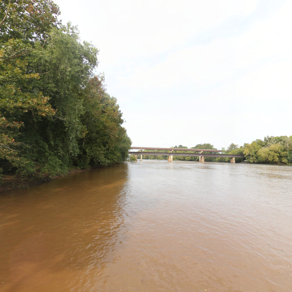
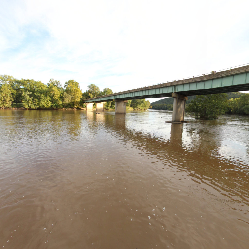
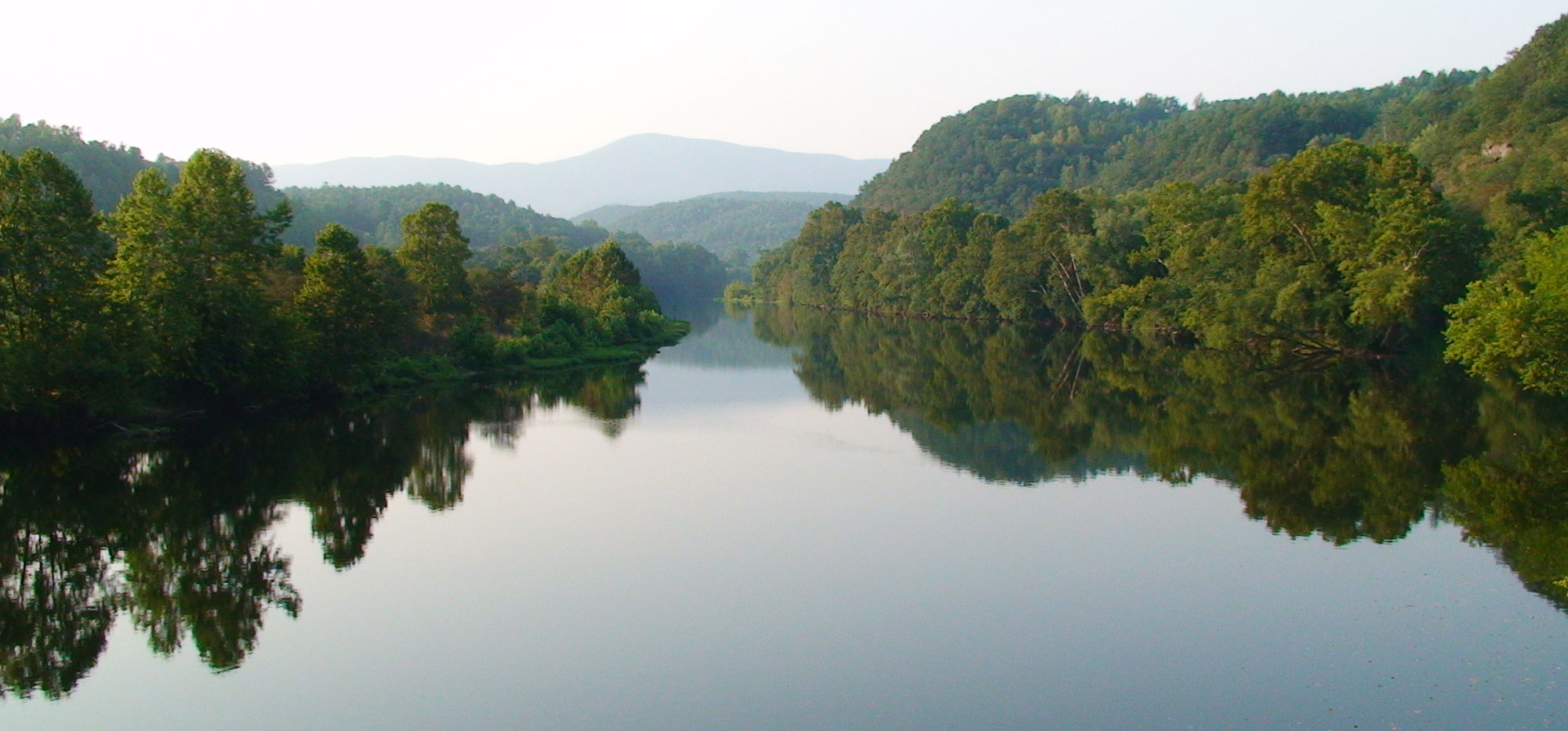
The James River is a river in the U.S. state of Virginia. It is 348 miles (560 km) long, extending to 444 miles (715 km) if one includes the Jackson River, the longer of its two source tributaries. The James River drains a catchment comprising 10,432 square miles (27,020 km2). The watershed includes about 4% open water and an area with a population of 2.5 million people (2000). It is the 12th longest river in the United States that remains entirely within a single state.

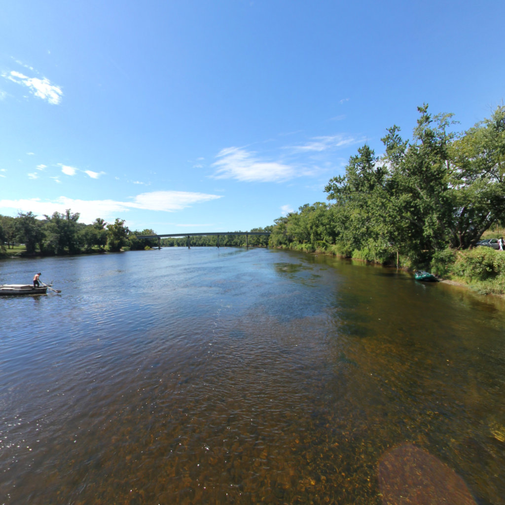
The James River contains numerous parks and other recreational attractions. Canoeing, fishing, kayaking, hiking, and swimming are some of the activities that people enjoy along the river during the summer. From the river's start in the Blue Ridge mountains to Richmond, numerous rapids and pools offer fishing and whitewater rafting. The most intense whitewater stretch is a 2-mile (3 km) segment that ends in downtown Richmond where the river goes over the fall line. This is the only place in the country where extensive class III (class IV with above average river levels) whitewater conditions exist within sight of skyscrapers.


Explore the map

Click any line to drop into 360° street view.
Interactive · live map

Segment index

90 segments · grouped by area
Tidal James
33
Ancarrows to Osborne Landing
11.36 mi · 37.528, -77.436
Bermuda Hundred
Bermuda Hundred
0.63 mi · 37.35, -77.259
Brandon Point
Brandon Point
8.63 mi · 37.297, -77.019
Burwell Bay
Burwell Bay
6.11 mi · 37.126, -76.665
Burwell Bay to Pagan River
6.84 mi · 37.044, -76.661
Chickahominy River to Jamestown
7.77 mi · 37.252, -76.874
Chippokes SP to Hog Island
6.94 mi · 37.163, -76.757
City Point to Eppes Island
6.47 mi · 37.312, -77.294
City Point to Jordan Point
6.12 mi · 37.312, -77.297
Curles Neck Cutoff
Curles Neck Cutoff
5.39 mi · 37.378, -77.316
Curles Neck Deep Bottom
5.32 mi · 37.403, -77.298
Curles Neck Oxbow
Curles Neck Oxbow
6.56 mi · 37.379, -77.33
Deep Creek to Newport News
10.3 mi · 37.096, -76.58
Flowerdew Hundred Creek
6.61 mi · 37.287, -77.09
Ft. Eustace to Deep Creek
5.46 mi · 37.159, -76.615
Hog Island to Lawnes Creek
6.37 mi · 37.192, -76.692
Jamestown Island to College Creek
7.9 mi · 37.207, -76.778
Jones Neck
Jones Neck
4.55 mi · 37.383, -77.357
Kingsmill to Ft. Eustis
6.98 mi · 37.22, -76.668
Kittewan Creek to Sandy Point
8.11 mi · 37.3, -77.034
Maycocks Point to Windmill Point
5.61 mi · 37.296, -77.154
Newport News Shipyards
7.66 mi · 37.004, -76.469
Osborne to Hatcher Island
7.09 mi · 37.399, -77.386
Pagan River to James River Bridge
5.42 mi · 37.003, -76.56
Presquile Island
Presquile Island
9.27 mi · 37.35, -77.271
Salters Creek to Ft. Monroe
6.22 mi · 36.989, -76.388
Sandy Point to Chickahominy River
2.96 mi · 37.25, -76.961
Swanns Point to Jamestown Ferry
8.38 mi · 37.208, -76.868
Tar Bay
Tar Bay
5.43 mi · 37.306, -77.215
Tomahund Creek to Sunken Meadow Creek
10.81 mi · 37.262, -76.879
Turkey Island and Cutoff
6.71 mi · 37.377, -77.268
Weyanoke
Weyanoke
8.17 mi · 37.325, -77.211
Weyanoke to Kittewan
7.93 mi · 37.317, -77.095
Upper James
32
Amherst Section
Amherst Section
7.12 mi · 37.407, -79.107
Arcadia
Arcadia
8.8 mi · 37.53, -79.679
Balcony Falls to Snowden Dam
3.44 mi · 37.605, -79.435
Bent Creek Section
Bent Creek Section
7.36 mi · 37.525, -78.895
Big Hollow Branch
Big Hollow Branch
6.61 mi · 37.562, -79.609
Buford Island Section
7.76 mi · 37.69, -78.695
Cartersville to Powhatan
8.47 mi · 37.67, -78.086
Chestnut Island to Reusens Dam
6.85 mi · 37.505, -79.243
Clifton Forge to Irongate
4.79 mi · 37.814, -79.824
Colman Falls and Holcomb Rock
6.75 mi · 37.515, -79.336
Columbia to Cartersville
9.05 mi · 37.75, -78.161
Cunningham's Island Section
6.07 mi · 37.621, -78.824
Eagle Rock
Eagle Rock
14.49 mi · 37.686, -79.816
Gladstone
Gladstone
4.2 mi · 37.479, -78.954
Glasgow
Glasgow
7.91 mi · 37.605, -79.537
Hardware River to New Canton
8.17 mi · 37.74, -78.408
Irongate to Gala
Irongate to Gala
10.96 mi · 37.775, -79.782
James River State Park Section
5.84 mi · 37.561, -78.821
Joshua Falls Section
8.17 mi · 37.417, -79.044
Judes Ferry to Watkins Landing
4.41 mi · 37.614, -77.782
Lynchburg Section
Lynchburg Section
7.73 mi · 37.451, -79.176
Maidens to Fine Creek
8.34 mi · 37.666, -77.892
New Canton to Columbia
8.8 mi · 37.701, -78.278
Powhatan to Maidens Landing
8.62 mi · 37.626, -77.956
Scottsville to Hardware Landing
7.63 mi · 37.784, -78.498
Snowden Dam
Snowden Dam
0.23 mi · 37.594, -79.384
Snowden to Big Island
9.34 mi · 37.592, -79.381
Warren Ferry
Warren Ferry
4.3 mi · 37.764, -78.547
Watkins Landing to Huguenot Flatwater
10.59 mi · 37.589, -77.714
West Buchanan
West Buchanan
11.01 mi · 37.583, -79.757
Wingina Section
Wingina Section
6.48 mi · 37.633, -78.735
Wreck Island Section
7.67 mi · 37.488, -78.94
Browsing a large collection? The interactive map is the fastest way to find a specific spot.
Featured trail

James River

In the news

News & updates

Recognition

Conservation Partner

Justin Doyle4833 Old Main Street, Richmond, VA 23231
(804) 788-8811
info@jamesriverassociation.org