North East River Terrain360 Map Collection

A Perfect Blend of Natural Beauty and Recreational Activities

The North East River is a tributary of the Chesapeake Bay in Maryland. Entirely tidal, it extends for about 5.0 miles (8.0 km) from the town of North East southwest past Charlestown to the main body of Chesapeake Bay between Carpenter Point and Red Point. The river is fed by North East Creek and its tributaries, which reach as far north as just east of Nottingham, Pennsylvania. The North East River is entirely within Cecil County, Maryland, though its watershed extends into Chester County, Pennsylvania. Its watershed area in MD (excluding water) is 63 square miles (160 km2), with 6% impervious surface in 1994. On the 1612 John Smith map, it was referred to as Gunter's Harbour.

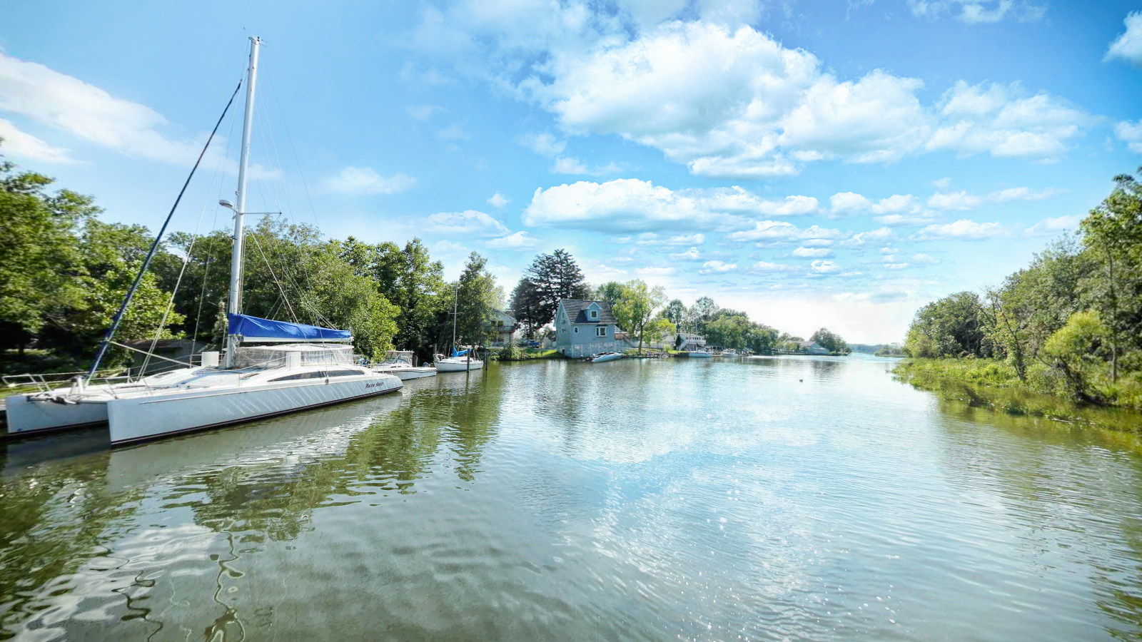
Northeast River Community Park is a 13-acre waterfront park complete with walking path, playground, covered pavilions for rent, picnic tables and restrooms. The park features a canoe and kayak launching site giving access to the Northeast River. 

Source: Wikipedia.org, Seakayak.ws

Explore the Map

Click on any line in the map to explore the location in street view.

North East River

The Northeast River is a V shaped river. It continues approximately 1/2 mile further on the west edge of Northeast until it becomes unnavigable because of a gravel bar riffle extending completely across the stream. Several short tidal creeks filled with arrow arum, turtles and herons may be found along the west shore. There are several beaches along the west shore with a thin strip of undeveloped land between the river and the Amtrak rail lines. The banks of this region are covered in poison oak. The rest of the river is developed with individual homes and marinas./ Seakayak.ws

Making the world a better place

Conservation Partner

Chesapeake Conservancy 
Jody Couser 
info@chesapeakeconservancy.org
716 Giddings Avenue Suite 42 
Annapolis, MD 21401
(443) 321 3610