NOAA Thunder Bay National Marine Sanctuary · Lake Huron

Shipwreck Alley

Two hundred ships rest beneath Lake Huron's freshwater, preserved by the cold for over a century.

Lake Huron · loading conditions…
Scroll to explore
— Shipwreck Alley —

A narrow gap of Lake Huron where the Great Lakes trade boom, the storms it ignored, and the cold freshwater that preserved its losses converge into one of the richest underwater archaeological landscapes in the Americas. This is the story in three arcs.

— Anishinaabewi-gichigami

The water was named first.

Long before the trade boom, the waters now within the sanctuary were the deep heart of Anishinaabewi-gichigami — the Anishinaabe Sea. The Saginaw Chippewa Indian Tribe, the Sault Ste. Marie Tribe of Chippewa Indians, the Bay Mills Indian Community, and the Little Traverse Bay Bands of Odawa hold relationships to this water that predate every wreck on this map by centuries.

This story is not ours to tell alone. Anishinaabe tribal collaboration is in progress. As that partnership matures, this section will grow into the part of the story it has always been.

NOAA TBNMS tribal engagement →
— Arc 01

Trade

Before steam gave way to steel, every cargo bound from the upper lakes threaded a narrow gap between Thunder Bay Island and the Michigan coast.

By 1870, Alpena was a chokepoint for an industrial empire. Pine moved south to Chicago. Iron moved east to Lake Erie's mills. Two million board-feet of lumber crossed Thunder Bay on a peak day. Wooden steamers and schooners with cargo holds full of grain, copper, and ore passed within sight of one another in dense fog and uncharted reefs — and sometimes did not pass cleanly. The water here was Anishinaabewi-gichigami long before it was a shipping lane.

4,300
SQ MI Sanctuary
2M
Board-Feet Lumber/Day Peak
6
Named Regions
1
Narrow Channel
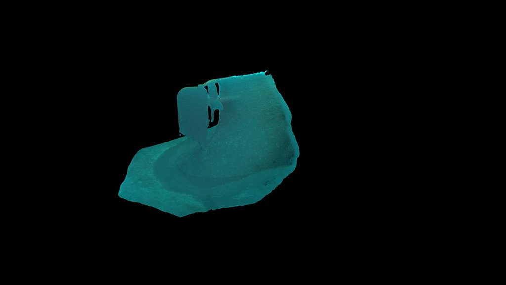
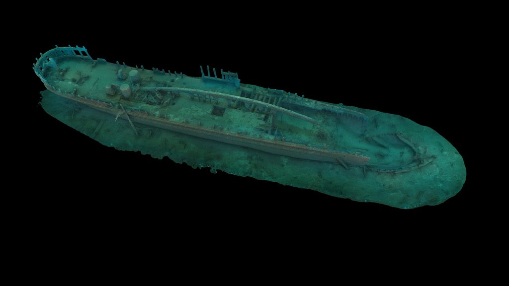
Pewabic — 3D photogrammetry by NOAA TBNMS
3D
165 ft
ARC 01 · TRADE · 1865 · NRHP
Pewabic
Wooden passenger/freight steamer · 200 ft · built 1863 · sank Aug 9, 1865 · collision

On a calm August evening, the Pewabic's wheelsman steered inexplicably into the path of her twin sister Meteor. She sank within minutes. NRHP-listed war grave.
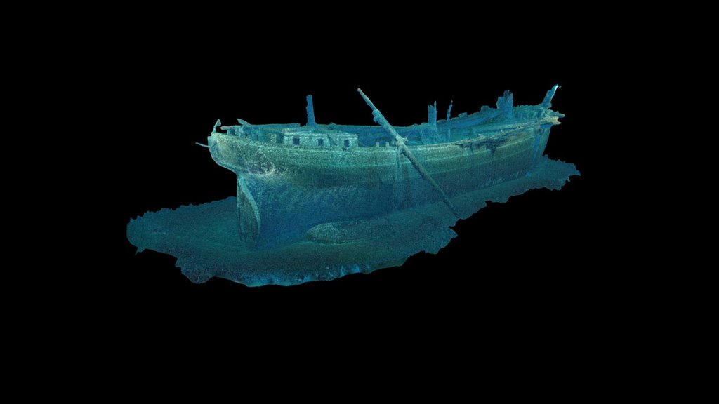
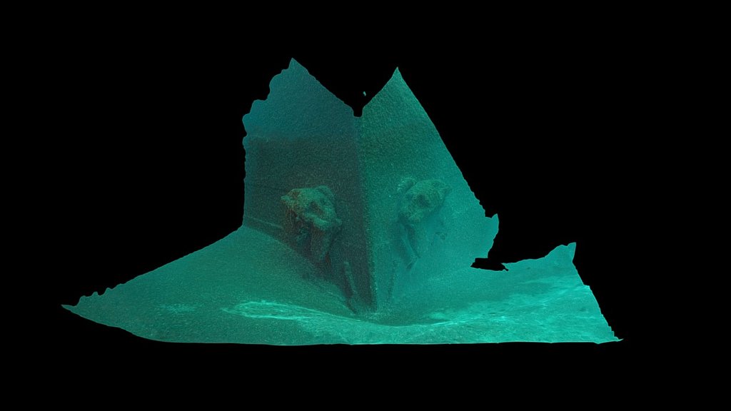
Cornelia B. Windiate — 3D photogrammetry by NOAA TBNMS
3D
185 ft
ARC 01 · TRADE · 1875
Cornelia B. Windiate
Three-masted wooden schooner · 138 ft · built 1874 · vanished Nov 1875 · all 9 hands

Departed Milwaukee with 21,000 bushels of grain and was never seen again. Found in 1986, upright and intact, masts still standing — one of Lake Huron's most pristine schooner wrecks.

— Arc 02

Storm

For four November days in 1913, the wind would not stop. Twelve ships across the Great Lakes did not return.

The Great Lakes Storm of 1913 — the White Hurricane — killed roughly 250 people and sank twelve ships in less than a hundred hours. Three went down within Thunder Bay alone. The 524-foot Isaac M. Scott rests upright in 175 feet of water, her wheel still in her pilothouse, hands still gripping it. The storm was the worst maritime disaster in Great Lakes history; the wrecks it produced are now among the sanctuary's most-visited.

12
Ships Lost · Nov 1913
~250
Lives · Great Lakes
90 mph
Peak Wind Recorded
4 days
White Hurricane
Photogrammetry pending
300 ft
ARC 02 · STORM · 1915 · NRHP
Choctaw
Steel semi-whaleback freighter · 267 ft · built 1892 · sank Jul 12, 1915 · collision

One of only three "monitor" hulls ever built — narrow turtleback deck, rounded sides. Rammed in dense fog by the steamer Wahcondah. All 19 crew survived. NRHP-listed.

— Arc 03

Sanctuary

In 2000, NOAA recognized what had been true for a century: Lake Huron's cold freshwater preserves the past in a way no saltwater coastline can.

Designated in 2000 and expanded fourfold in 2014 to its current 4,300 square miles, Thunder Bay National Marine Sanctuary protects over 200 documented wrecks — many still standing upright on the lakebed with masts in place, deck cargo undisturbed, and details that would have rotted away decades ago in salt. Water that holds 39°F year-round is also what keeps wood, iron, paint, and rigging readable a century after a ship goes down. The Heritage Center in Alpena is the sanctuary's classroom.

2000
Designation Year
Expanded · 2014
200+
Wrecks Documented
39°F
Water · Year-Round
D.R. Hanna — 3D photogrammetry by NOAA TBNMS
3D
135 ft
ARC 03 · SANCTUARY · 1919
D.R. Hanna
Steel bulk freighter · 532 ft · built 1906 · sank May 16, 1919 · collision

The largest wreck in the sanctuary. Rammed by the steamer Quincy A. Shaw in dense fog. Sits inverted in 135 feet, hull torn open along nearly her entire length.

Photogrammetry pending
140 ft
ARC 03 · SANCTUARY · 1959
Monrovia
Steel ocean freighter · 448 ft · built 1943 · sank Jun 25, 1959 · collision

A Liberian-registered ocean freighter that reached the Great Lakes through the newly-opened St. Lawrence Seaway, then sank within months. The sanctuary's only saltwater ocean ship.

— The interactive map

Eighty-four wrecks, mapped.

Live conditions. Sketchfab 3D models. Audio narration. Dive info per wreck. Filter by era, depth, mooring buoy, or the Storm of 1913.

Live · 84 documented wrecks across 4,300 sq mi · click to explore
84
Wrecks
4,300
Sq Mi
7
NRHP Listed
43
3D Models
84
Narrations
6
Regions
What's on the map: live water + air conditions · marine warnings · bathymetric contours · NOAA nautical chart · the 1913 Storm highlight · region groupings · 43 embedded 3D wreck models · audio narration in every wreck profile.
Open the map
— Live conditions
Thunder Bay, right now
°F
Water · Lake Huron
°F
Air · KAPN Alpena
kt
Wind
ft
Wave · NDBC 45162
— Plan a visit

Alpena is the front door.

The Great Lakes Maritime Heritage Center sits on the Thunder Bay River in downtown Alpena, with the sanctuary's headquarters and a free museum open year-round.

Alpena Shipwreck Tours

Glass-bottom boat · May–September

Two-hour narrated tours over several near-shore wrecks visible through a glass viewing well in the hull. Departs from the Heritage Center dock.

alpenashipwrecktours.com

Dive the sanctuary

All experience levels · mooring buoys May–October

From snorkel-accessible Monohansett in 18 feet to tech-required Isaac M. Scott at 175 feet. Many wrecks have NOAA mooring buoys; some require advanced certification. Local charters operate out of Alpena, Rogers City, Presque Isle.

Open dive map

Communities

Alpena · Rogers City · Harrisville · Presque Isle · Oscoda

The sanctuary stretches roughly 70 miles along the Michigan shore. Each town has its own maritime story — lumber boom, limestone quarry, lighthouse keeper, life-saving station — and its own access points.

Find on the map
— Made possible by

Stewards of Shipwreck Alley

NOAA Thunder Bay National Marine Sanctuary· Great Lakes Maritime Heritage Center· Friends of Thunder Bay NMS· Michigan Underwater Preserves Council· Anishinaabe tribal collaboration in progress· Terrain360