AI-Powered Environmental Analysis
Terrain360 combines 360-degree panoramic imagery with advanced AI to deliver structured scientific assessments for environmental monitoring, resource management, and infrastructure planning.
Terrain360 combines 360-degree panoramic imagery with advanced AI to deliver structured scientific assessments for environmental monitoring, resource management, and infrastructure planning.
Each analysis type is built on established methodologies and delivers structured, machine-readable data for integration with GIS systems and databases.
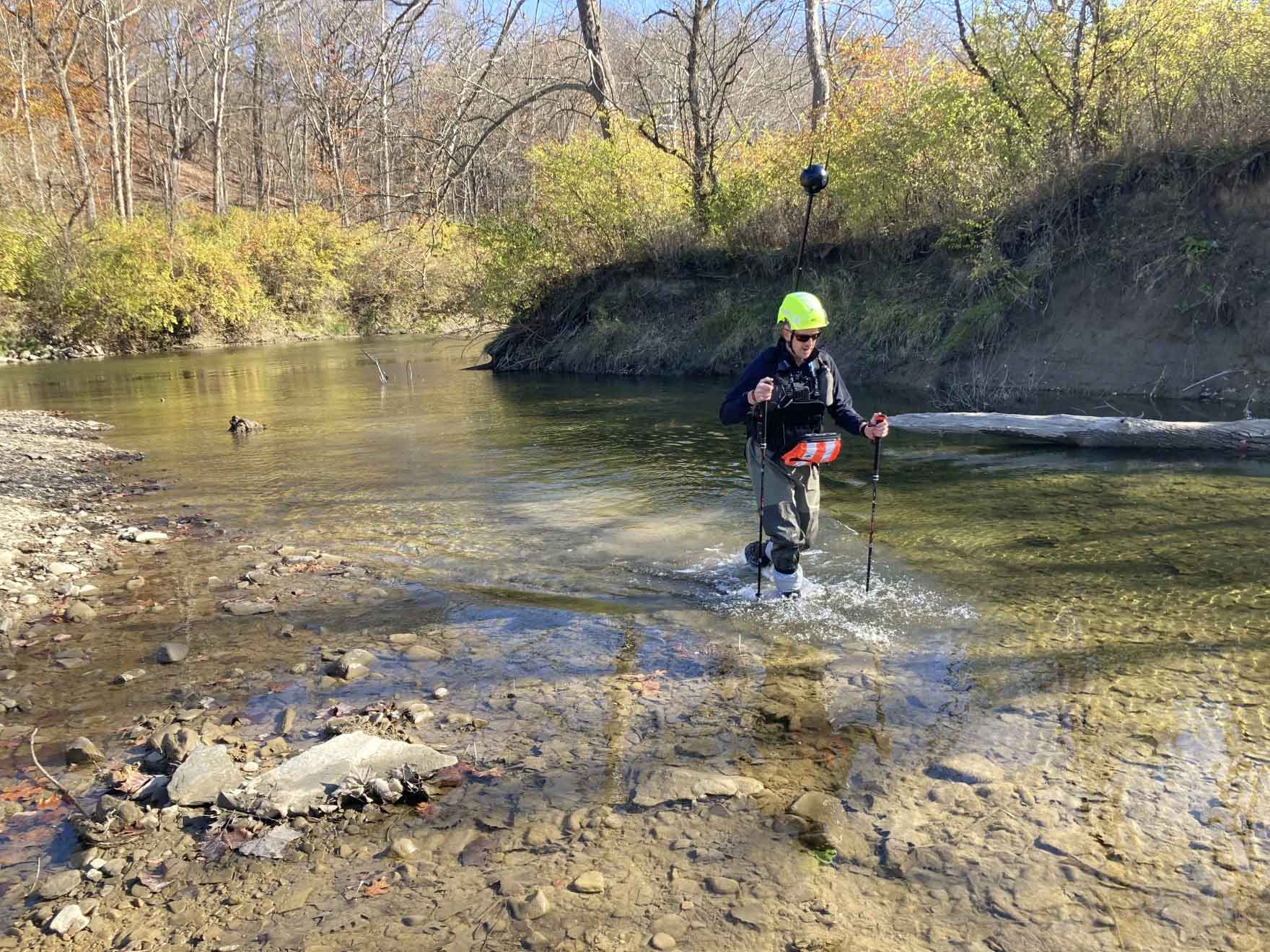
Our most comprehensive analysis protocol, integrating USDA Stream Visual Assessment Protocol (SVAP), EPA Rapid Bioassessment Protocol (RBP), and TDEC MS4 permit requirements into a unified assessment framework. The AI systematically evaluates channel geometry, bank stability indices, substrate composition, riparian buffer integrity, and in-stream habitat complexity. Automated outfall detection identifies pipe diameters, materials, and dry weather flow indicators critical for IDDE compliance documentation.
Quantitative erosion hazard assessment using established geomorphological indicators. The model identifies active head cuts, bank undercutting, mass wasting signatures, and sediment deposition patterns. Each feature is classified by severity and assigned remediation priority scores. Output includes estimated sediment load contributions, drainage area characterization, and cost-ranked intervention recommendations compatible with NPDES permit documentation requirements.
Implements the National Park Service Visual Resource Inventory methodology for systematic scenic quality evaluation. The AI assesses landform variety, vegetation patterns, water presence, color contrast, and cultural modifications across all six viewing directions. Outputs include Scenic Quality Ratings (A/B/C), View Importance classifications, and computed Scenic Inventory Values using the official 5x5 matrix. Data structure aligns with NPS planning databases for direct integration.
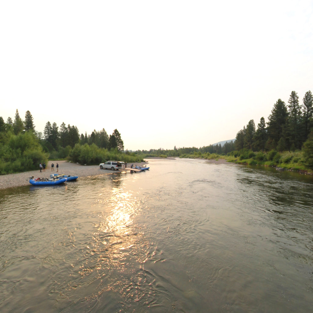
Comprehensive water access point inventory following River Access Planning Guide (RAPG) methodology. Each site is evaluated for launch/takeout suitability, vehicle access constraints, parking capacity estimates, and ADA accessibility compliance. The model inventories existing amenities, identifies safety hazards (hydraulic features, strainers, undercut banks), and generates condition assessments with prioritized improvement recommendations for recreation planners and land managers.
See how our AI extracts structured, actionable data from 360-degree panoramic imagery. The example below shows actual MS4 Visual Stream Assessment output.


Each cube face is analyzed independently, then synthesized into site-level metrics.
Full MS4 analysis contains 630+ structured fields including per-face directional analysis, habitat metrics, erosion indicators, and IDDE screening data exportable to GIS.
Our analysis pipeline combines high-resolution panoramic imagery with domain-specific AI models trained on established scientific methodologies.
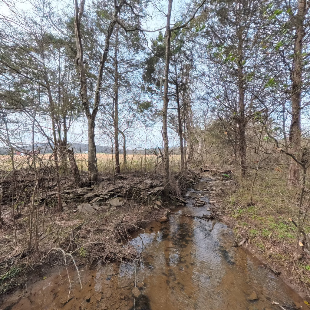
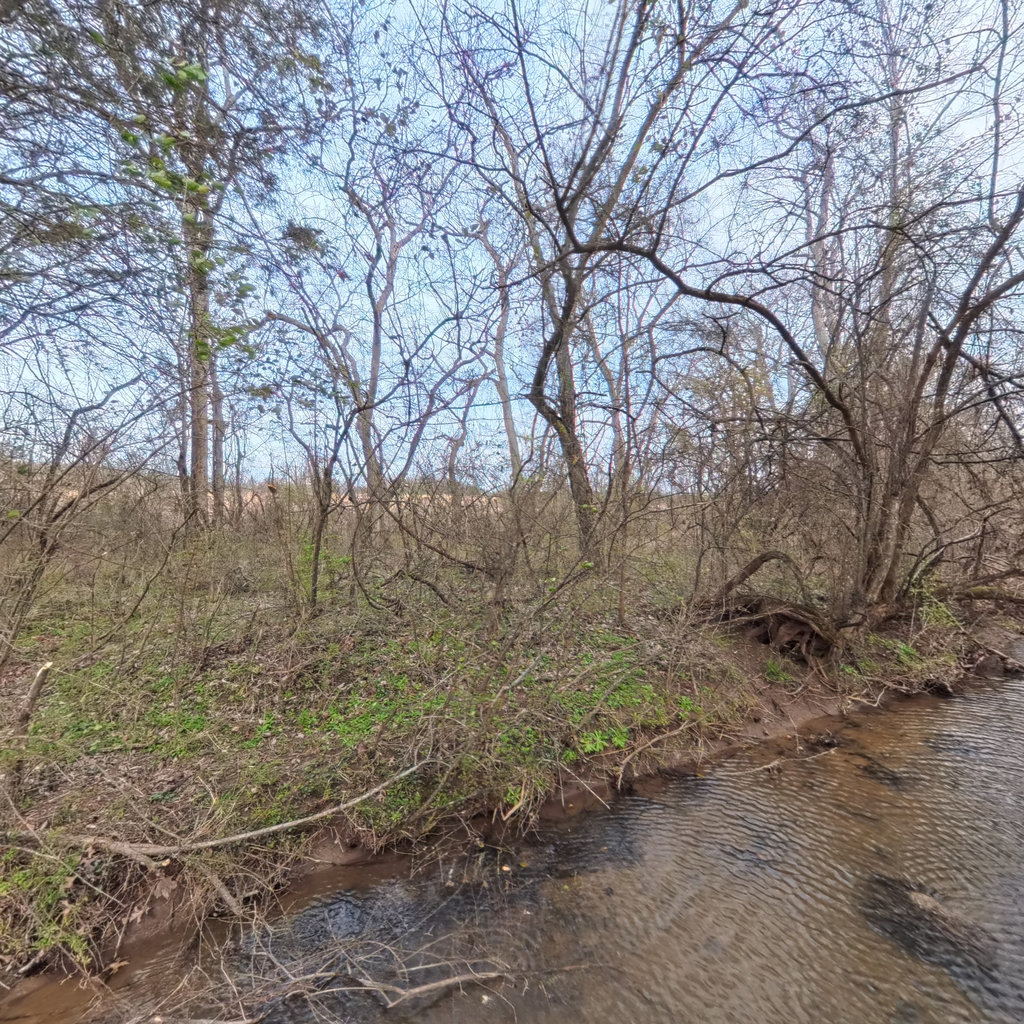
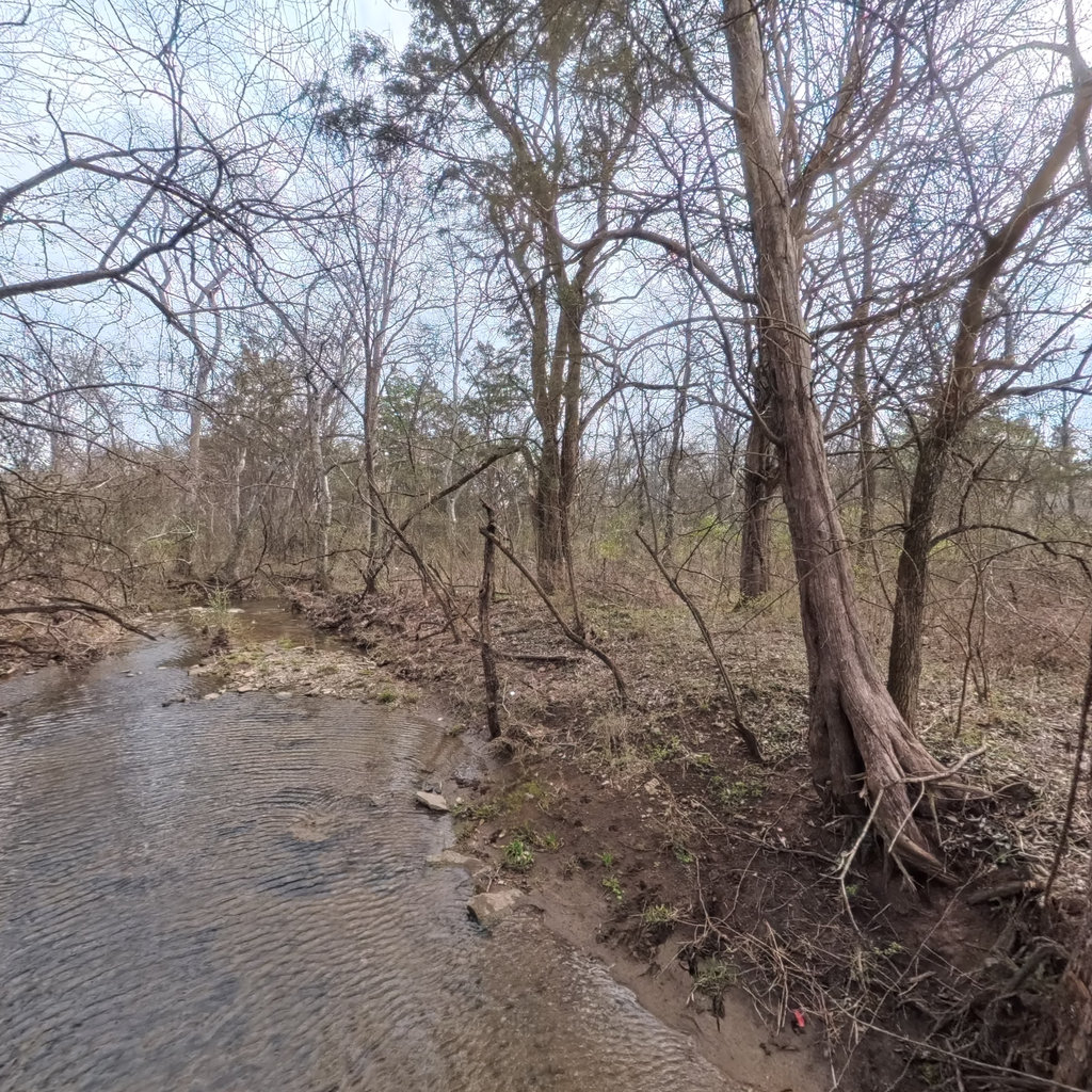
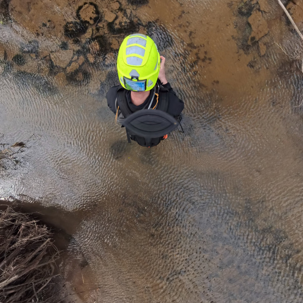
High-resolution panoramic imagery captured at regular intervals along trails, waterways, and infrastructure corridors. Each scene includes precise GPS coordinates, elevation, and bearing data.
Equirectangular panoramas are projected onto 6 cube faces (front, back, left, right, up, down) at 4096x4096 pixels each, providing detailed perspective views for analysis.
Each face is analyzed independently by Claude AI using methodology-specific prompts. Results are then synthesized into comprehensive site-level assessments with standardized scoring.
All results are stored as structured JSON with consistent schemas. Data can be exported to GeoJSON for GIS integration or queried via API for custom applications.
Scenic inventory and visual impact assessment for land managers
MS4 permit monitoring and outfall inventory documentation
Erosion assessment and maintenance prioritization
ADA compliance evaluation and barrier identification
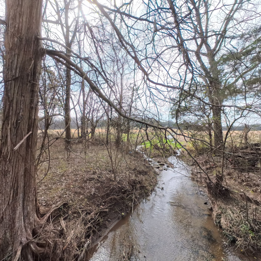
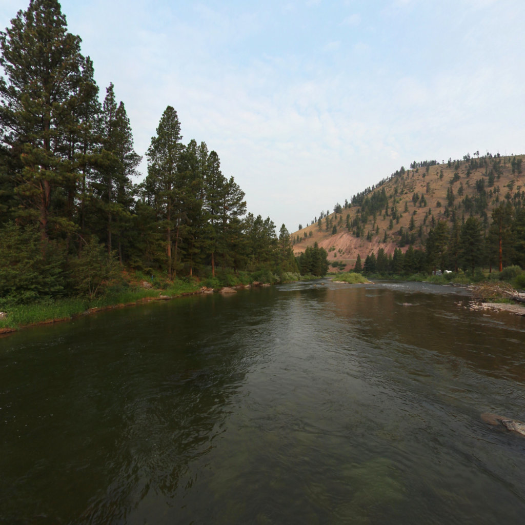
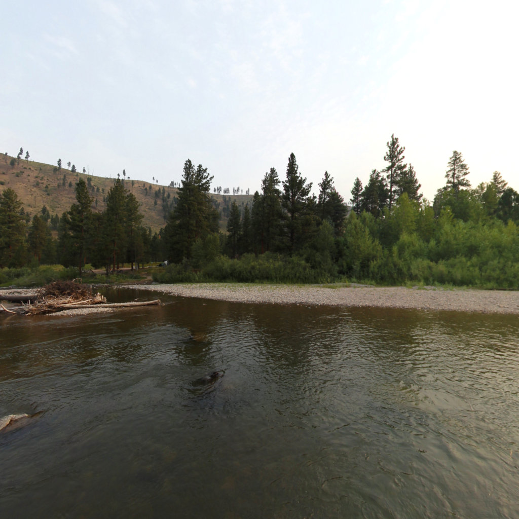
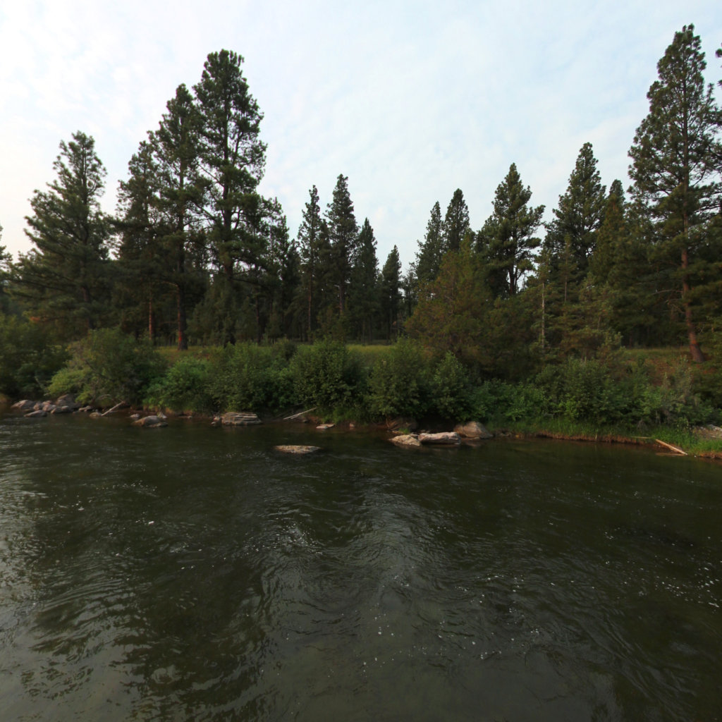
Stream corridor and riparian zone evaluation
Hazard identification and risk assessment
Contact us to discuss your environmental monitoring and assessment needs.
Georeferenced 360° documentation for trails, rivers, and outdoor assets. Trusted by federal and state land managers.