Belle Isle State Park Terrain360 Map Collection

Explore a Wide Variety of Tidal Wetlands

Belle Isle has seven miles of shoreline on the Northern Neck's Rappahannock River and provides access to Mulberry and Deep creeks. The park lets visitors explore a wide variety of tidal wetlands interspersed with farmland and upland forests. It has a campground, three picnic shelters, hiking, biking and bridle trails, and motor boat and car-top launches. Bicycle, canoe, kayak and motorboat rentals are available. Guests also enjoy the park's universal access playground, boardwalk and fishing pier, and educational programs. 

The diverse habitats found in the park provide homes to many predator birds, such as blue herons, osprey, hawks and bald eagles. White-tailed deer, turkeys, groundhogs, rabbits, squirrels, moles, reptiles and amphibians are also common. There are eight distinct types of wetlands within the park. These diverse ecosystems make Belle Isle an excellent outdoor laboratory for environmental education.

Source: Dcr.virginia.gov

Explore the Map

Click on any trail to explore in 360°

Loading Map... Loading Trails... Loading 360° Scenes...

Trail Segments

12 Segments

Belle Isle State Park Picnic Area

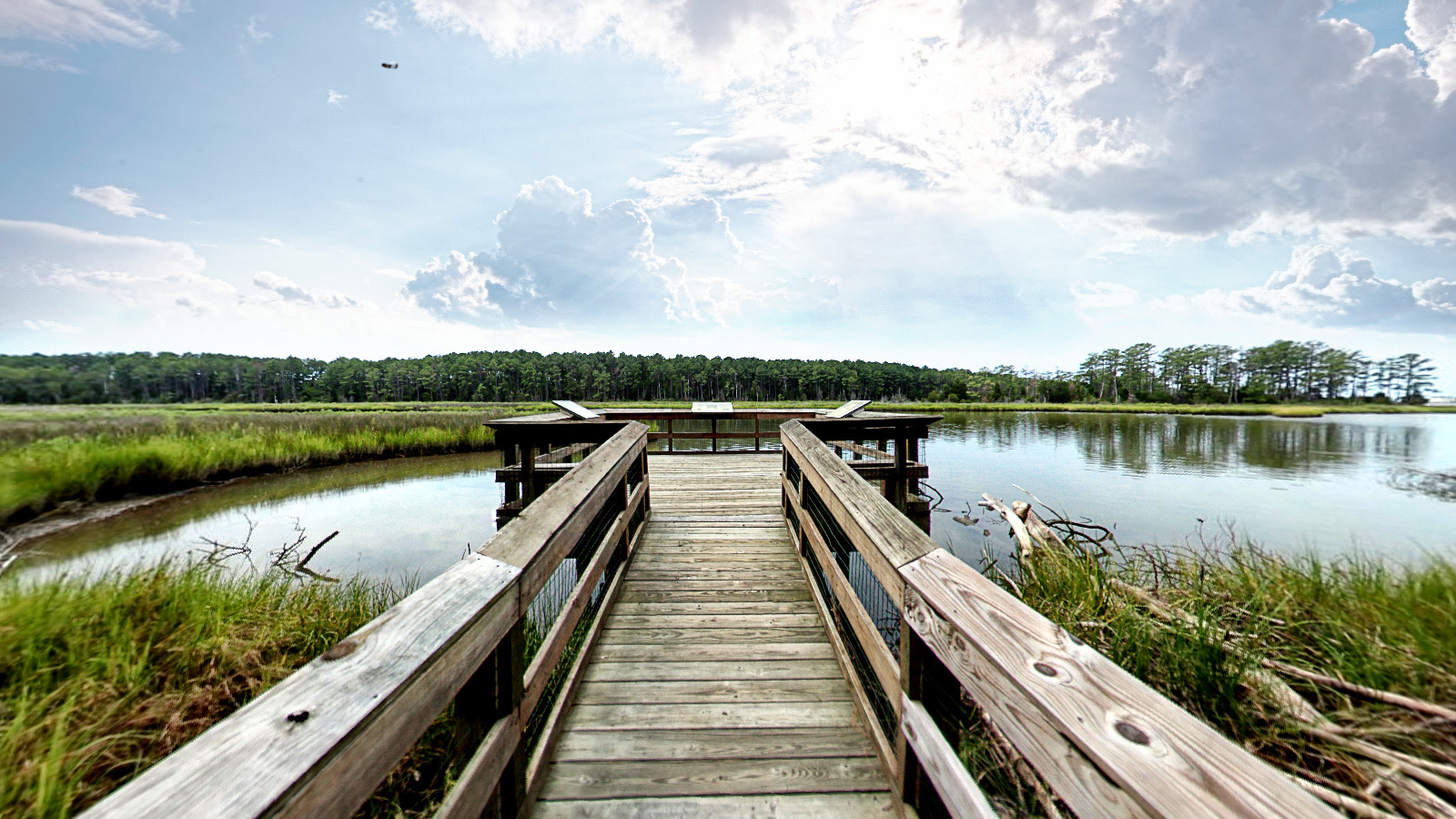
Travel in style around the beautiful grounds, walk along the boardwalk or fishing pier, rent a canoe and take in the views. Canoeing can be tiring business, though, so packing a lunch to enjoy afterwards is always a great option. At Belle Isle State Park Picnic Area you can enjoy three picnic shelters, universal access playground and an amazing view.