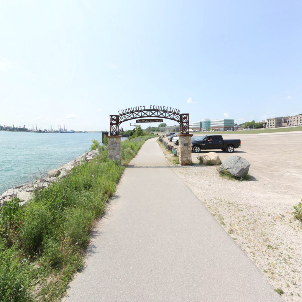
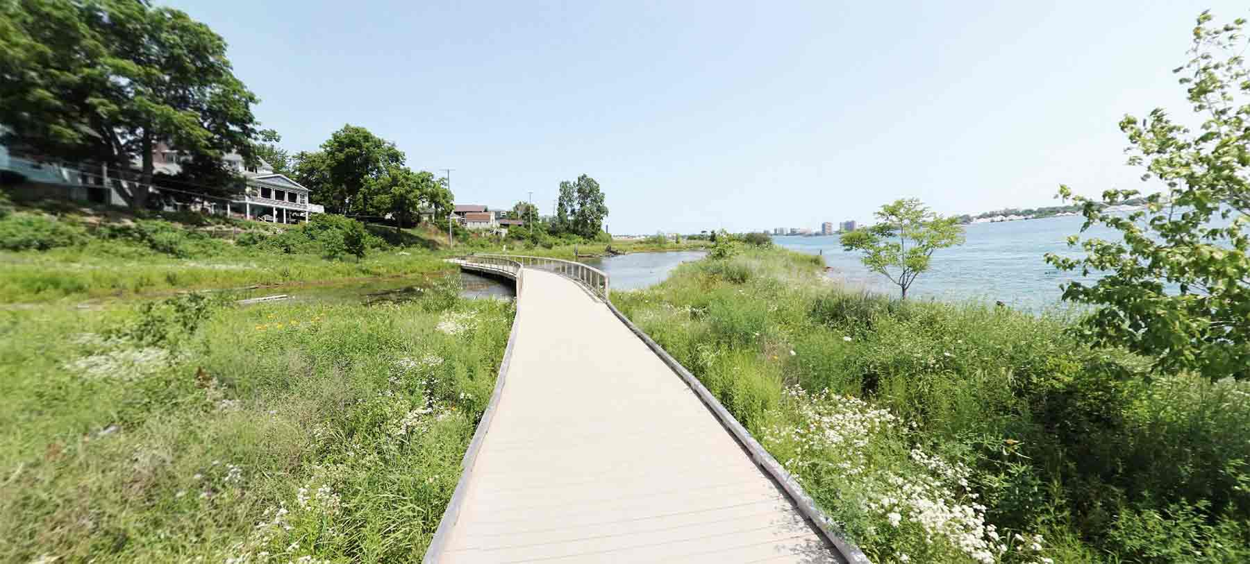
The Blue Water River Walk is almost one-mile of St. Clair River shoreline immediately south of the mouth of the Black River in Port Huron, Michigan. It is less than a mile downriver from the Blue Water Bridge to Sarnia and the southern end of Lake Huron. Owned by the Community Foundation of St. Clair County, the Blue Water River Walk is open to the public year-round.
Explore the map
Click anywhere on the line to drop into that spot in 360°.

 Southeast Michigan Trails