Map collection
· Take a Tour of the James, Scout out Boat landings and Plan Your Paddle Trip
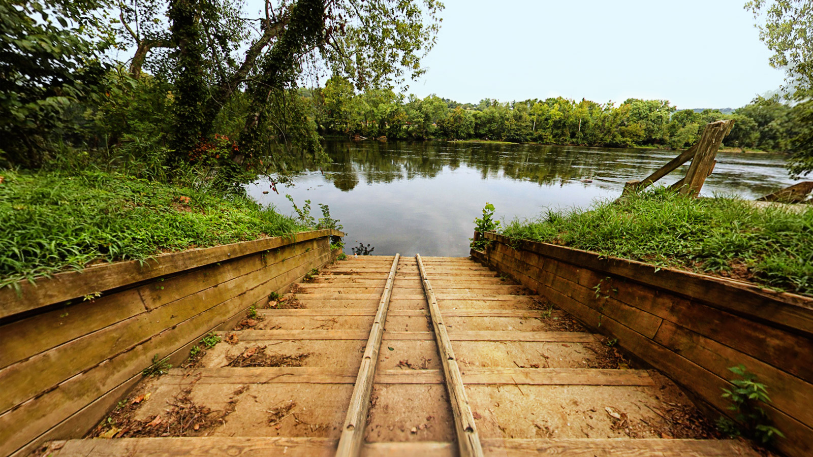
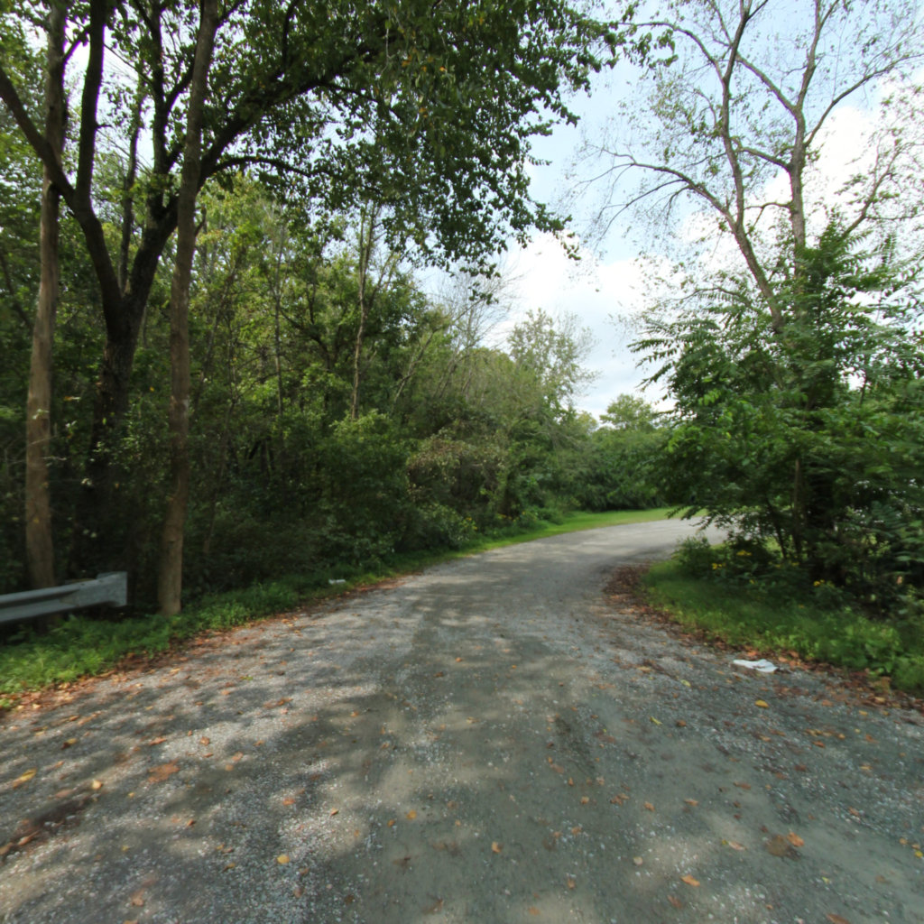
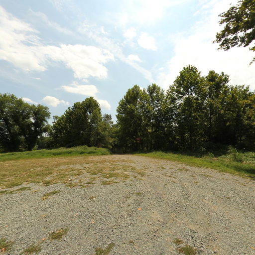
James River Boat Landings
Ride Your Boat, Pier Fish, or Enjoy the View
26
segments
1.8
miles
About this collection
James River Boat Landings
The James River is Virginia’s largest river, flowing across the entire state from its beginning at the headwaters of the Cowpasture and Jackson Rivers in Bath and Highland Counties, to its mouth at the Chesapeake Bay in Hampton Roads. It is Virginia’s largest tributary to the Chesapeake Bay.
The James River is a wonderful destination for recreation and enjoyment. Canoeing, fishing, kayaking, hiking, and swimming are some of the activities that people enjoy along the river during the summer. The James River offers both restful flatwater as well as heart‐pumping class IV rapids to entice river users of all abilities. The river has many the boat landings that provide an ideal and pleasant place for recreational boating and fishing. Visitors can use Ancarrow’s Landing/Manchester Docks at the end of Brander St. - it has a concrete boat ramp suitable for motor boats. Huguenot Flatwater and Pony Pasture Rapids have wooden boat ramps for canoes and kayaks. Reedy Creek is a put-in for advanced paddlers capable of handling Class IV rapids. Otherwise it is the take-out for those paddling in from the west.