Kiptopeke State Park Terrain360 Map Collection

Kiptopeke State Park - Where Nature and History Meet

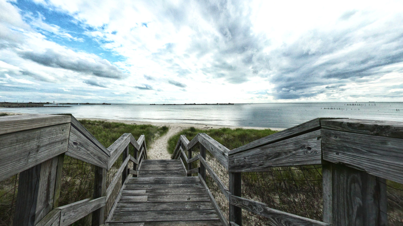
On Virginia's beautiful Eastern Shore, explored by Capt. John Smith in 1608, Kiptopeke offers recreational access to the Chesapeake Bay. It's also a great place to explore unique migratory bird habitat along the Atlantic flyway. The park has six-bedroom lodges, RV and tent camping, a yurt (part cabin-part tent), camping trailers and a bunkhouse. Guests also enjoy the park's boat ramp, lighted fishing pier, picnic areas, 5.1 miles of hiking and biking trails, playground, beach bathhouse and swimming beach. Seasonal interpretive and educational programs focus on natural history, birding and bay ecology.

With its iconic World War II concrete boats along the shoreline, Kiptopeke is also an interesting historic sight. They stand in two rows in the Chesapeake Bay off Kiptopeke State Park on the Eastern Shore. They are ships made of concrete, used to transport military supplies during World War II. Since they were deliberately sunk in the late 1940s, the nine concrete World War II merchant ships have acted as a breakwater protecting the pier and beaches of Kiptopeke State Park on the Eastern Shore.

Source: Dcr.virginia.gov, Pilotonline.com

Baywoods Trail (0.51 mi)

37.16814, -75.981171
Baywoods Trail  scene image looking forward

Beach East (0.87 mi)

37.157322, -75.977417
Beach East  scene image looking forward

Chikadee Trail (0.29 mi)

37.158028, -75.973755
Chikadee Trail  scene image looking forward

Kiptopeke Overlook (0.02 mi)

37.156452, -75.976738
Kiptopeke Overlook scene image looking forward

KSP Boardwalk (0.03 mi)

37.166431, -75.988159
KSP Boardwalk  scene image looking forward

KSP Boardwalk (0.03 mi)

37.166431, -75.988159
KSP Boardwalk  scene image looking forward

KSP Boardwalk 2 (0.02 mi)

37.166279, -75.98806
KSP Boardwalk 2  scene image looking forward

Mocking Bird Trail (0.27 mi)

37.156796, -75.974731
Mocking Bird Trail  scene image looking forward

Osprey Boardwalk (0.1 mi)

37.1703, -75.985535
Osprey Boardwalk scene image looking forward

Raptor Trail (0.87 mi)

37.168182, -75.980782
Raptor Trail scene image looking forward

Songbird Trail (1.5 mi)

37.163612, -75.973946
Songbird Trail  scene image looking forward

Taylor Pond Trail (0.2 mi)

37.166096, -75.972664
Taylor Pond Trail  scene image looking forward

Wood Warbler Trail (0.16 mi)

37.166683, -75.983025
Wood Warbler Trail scene image looking forward

Wren Trail (0.06 mi)

37.167355, -75.979309
Wren Trail  scene image looking forward

Explore the Map

Click on any line in the map to explore the location in street view.

Enjoy the Osprey Broadwalk

A sense of tranquility pervades from the green coastal forest and endless water views. The broadwalk ends up with a view of the Kiptopeke concrete boats along the shoreline.