Lake Anna State Park Terrain360 Map Collection

"Gold Hill"

Lake Anna State Park is 2,304 acres with 8.5 miles of lake frontage. The land in Lake Anna State Park used to be known as "Gold Hill" and contained the Goodwin Gold Mine. Gold was first discovered in 1829 with mining reaching its peak in the 1880s. The last gold to be found in the area was in a zinc mine during the 1940s. In 1971 Lake Anna was created to serve as a water coolant for Virginia Power's nuclear plant. In 1972 work began on the acquisition and development of a water oriented state park. Lake Anna State Park opened in 1983.

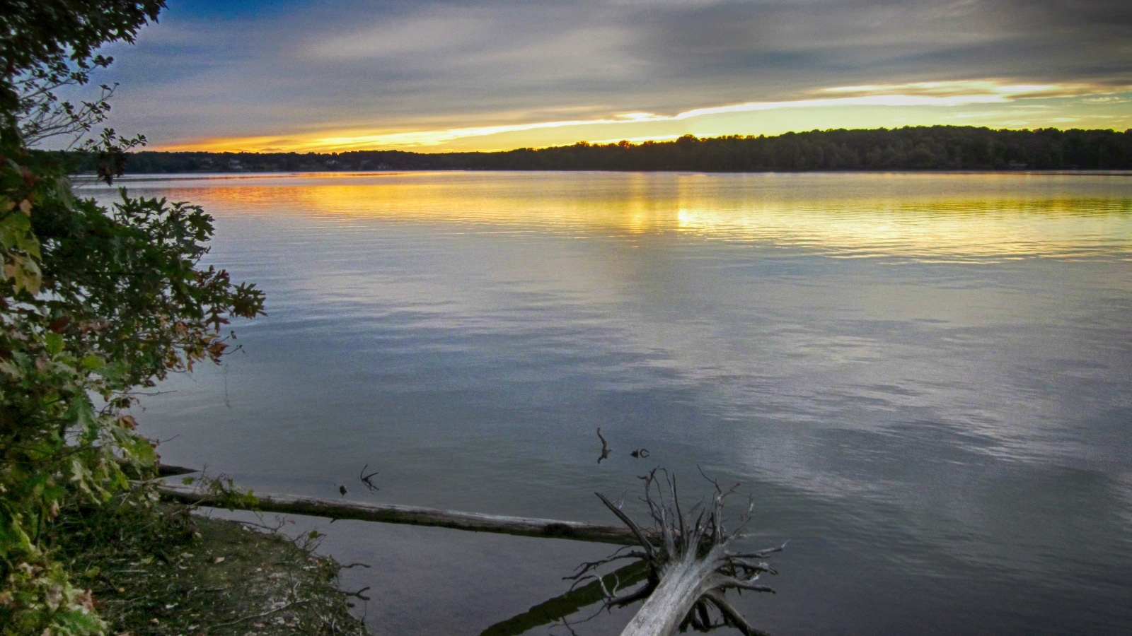
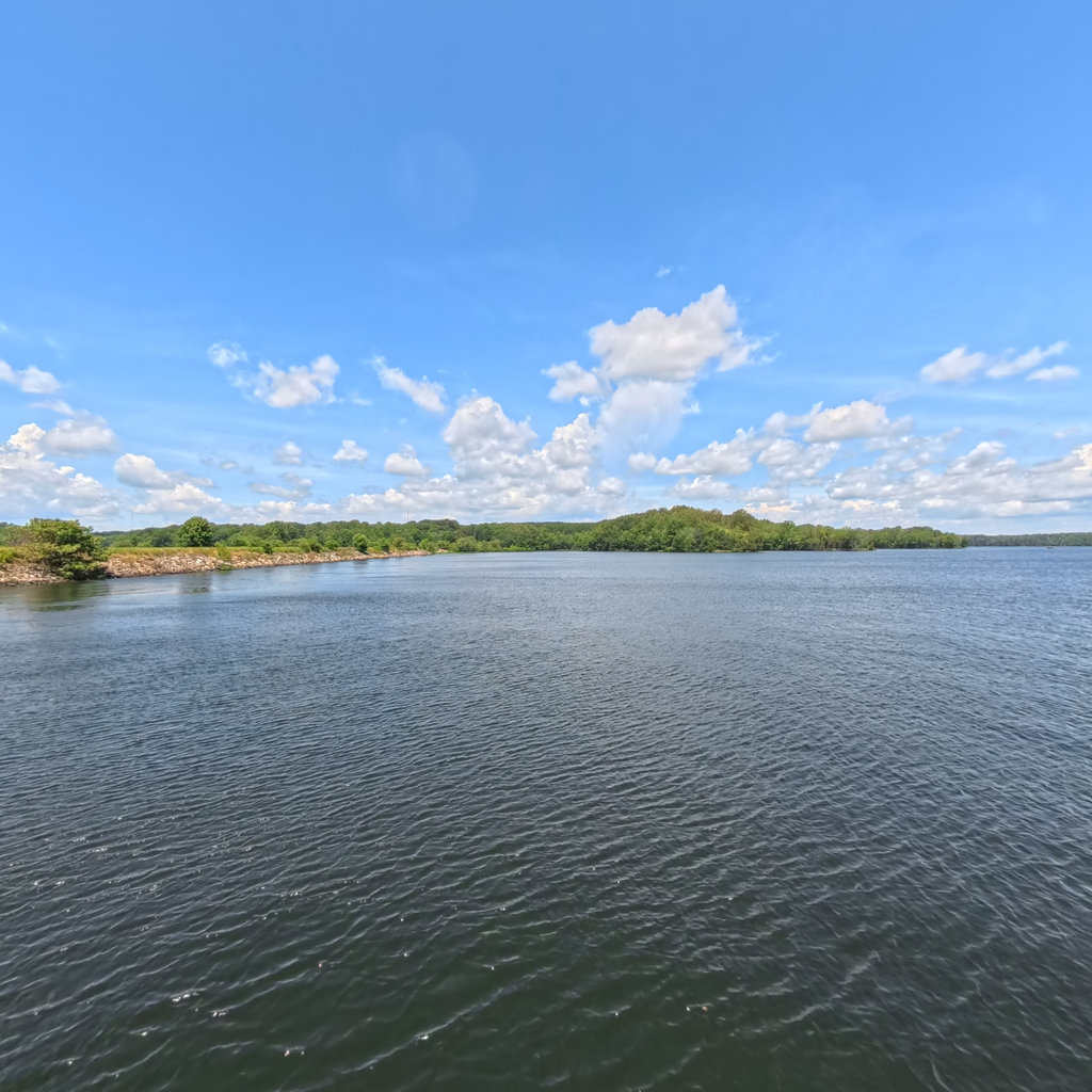
While boating and fishing on this beautiful lake are major attractions, these are only some of the park's offerings. Lakefront picnic areas and wooded hiking trails are also popular. Lake Anna State Park has thirteen miles of multi-use trails for hiking, biking and horseback riding, a guarded swimming beach, a boat ramp, a food concession stand, a bathhouse and a children's and handicapped fishing pond. On summer weekends, interpretive programs on the nature and history of the area complement exhibits and displays in the visitor center. 

Source: Reserveamerica.com, Visitfred.com; Photo credit: Coastalvirginiamag.com

Big Woods Trail (1.03 mi)

38.105858, -77.817146
Big Woods Trail  scene image looking forward

Cedar Run Trail (0.76 mi)

38.105511, -77.816376
Cedar Run Trail  scene image looking forward

Fishersman Trail (0.72 mi)

38.11668, -77.838081
Fishersman Trail  scene image looking forward

Glenora Trail (0.89 mi)

38.10758, -77.82401
Glenora Trail  scene image looking forward

Gold Hill Trail (2.87 mi)

38.124313, -77.81591
Gold Hill Trail  scene image looking forward

Mill Pond Trail (0.84 mi)

38.117155, -77.818573
Mill Pond Trail  scene image looking forward

Old Pond Trail (0.22 mi)

38.111927, -77.832031
Old Pond Trail  scene image looking forward

Pigeon Run Trail (1.11 mi)

38.115644, -77.808509
Pigeon Run Trail  scene image looking forward

Pigeon Run Trail 2 (0.34 mi)

38.127533, -77.820496
Pigeon Run Trail 2  scene image looking forward

Sawtooth Trail (1.82 mi)

38.127517, -77.820519
Sawtooth Trail  scene image looking forward

Turkey Run Trail (0.97 mi)

38.115452, -77.818825
Turkey Run Trail  scene image looking forward

Explore the Map

Click on any line in the map to explore the location in street view.

Walk the Old Pond Trail

Old Pond Trail is a very easy 0.2 mile loop walk around the pond offering the visitor 9 different learning stations explaining various ecological activity. A very special feature about this trail is that it offers children's fishing (15 years and under) and handicapped fishing stations. They are quite lovely and some provide covered roof structures making this a nice outing rain or shine. The setting is pristine, highlighting the clean lake and well-kept park facilities. It is conveniently located, offering a swimming beach, concession, educational exhibits, pay phone and access to lengthier trails./ Source: Wildernet.com