Explore
Custom Maps
AI & Vision
Features
Use Cases
About
Contact
☰
Map collection
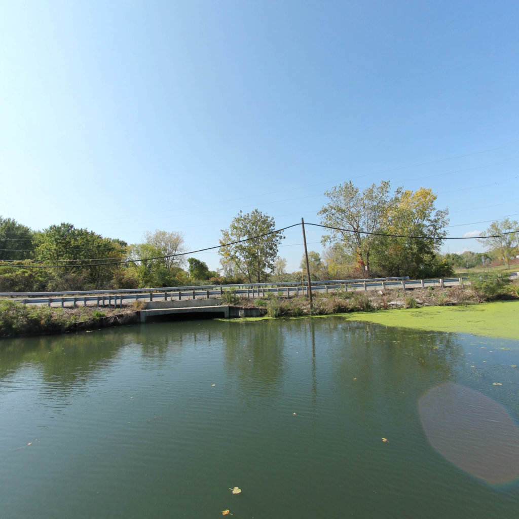
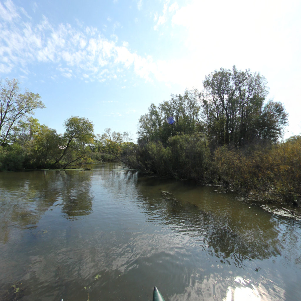
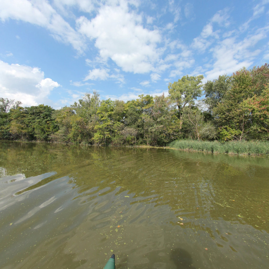
Lake Erie Shoreline and Water Trails
4
segments
34.8
miles
Project partners
Southeast Michigan Trails
About this collection
Lake Erie Shoreline and Water Trails
Travel over 25 miles along the Lake Erie coastline from the mouth of the Huron River south to Luna Pier. Explore multiple destinations and water trails including Pointe Mouillee, Bolles Harbor, La Plaisance Creek, Otter Creek, and Tamarack Creek.
Explore the map
Click any line to drop into 360° street view.
Interactive · live map
Segment index
4 segments · grouped by area
Segments
4
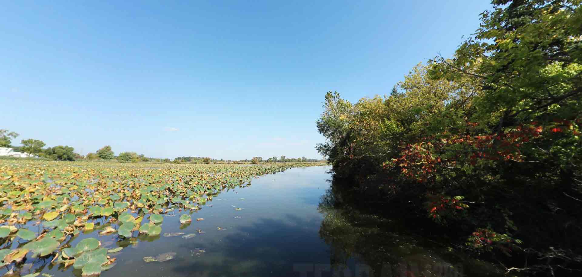
Monroe County Water Trails_La Plasisance Creek
1.17 mi ·
41.875, -83.394
Monroe County Water Trails_Otter Creek
2.87 mi ·
41.859, -83.441
Monroe County Water Trails_Tamarack Creek
4.35 mi ·
41.894, -83.38
Pointe Mouillee to Luna Pier
26.39 mi ·
42.022, -83.171
No segments match your search. Try a trail or area name.
Browsing a large collection? The
interactive map
is the fastest way to find a specific spot.
Featured trail
Monroe County Water Trails_La Plasisance Creek
Explore Monroe County Water Trails_La Plasisance Creek →
Nearby collections & trails
More places to explore
Collection
Southeast Michigan Trails
Collection
 Southeast Michigan Trails