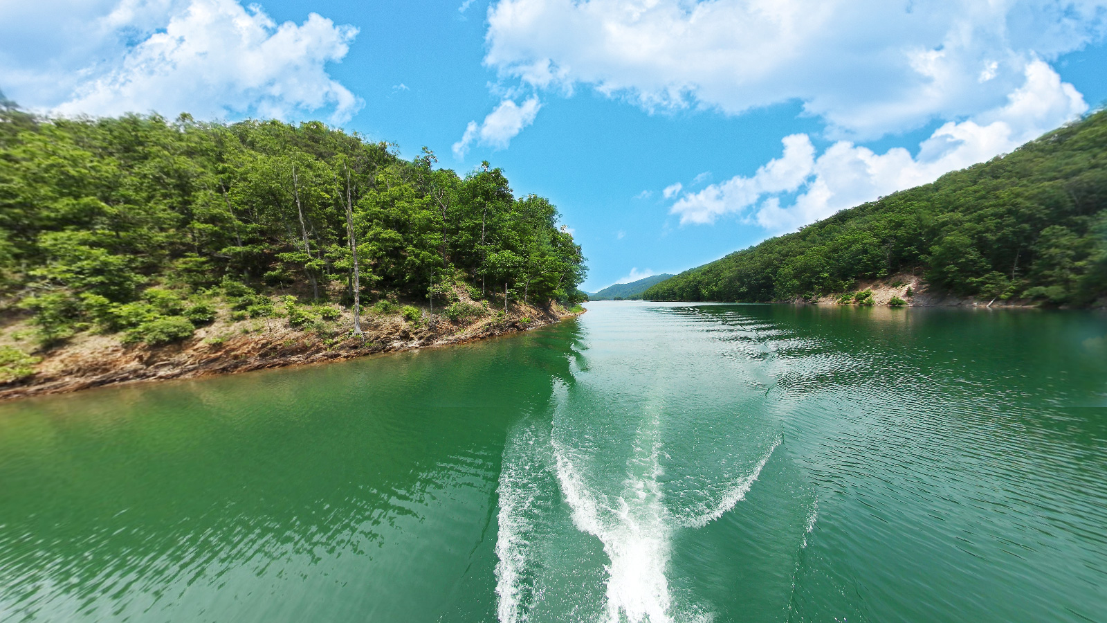
Lake Moomaw Terrain360 Map Collection

A Unique Destination for Any Adventurer in Virginia

Lake Moomaw is a 2,530-acre lake almost completely surrounded by the Allegheny Mountains of the George Washington National Forest. There are 43 miles of unspoilt, wooded shoreline. The Bolar Flat recreation area offers visitors a picnic area and a four-lane boat ramp, courtesy dock and marina. At the marina, you can rent pontoon boats and canoes. There are about 10 miles of maintained hiking trails around the lake. The Loop Trail (2.1 miles) leads you to two outstanding views of Lake Moomaw: the Grouse Point Overlook and the Islands Overlook.

The lake is deep enough for both warm water and cold-water fish. Fish include alewife, trout, black bass, yellow perch, panfish, catfish, chain pickerel, black crappie, rock bass and sunfish. Lake Moomaw is known for their trout fishing; there is a zone about 15 feet under the surface with cold oxygenated water where brook, brown and rainbow trout thrive. 

Source: Theoutbound.com

Lake Moomaw (22.28 mi)

37.99273, -79.947793
Lake Moomaw scene image looking forward

Explore the Map

Click on any line in the map to explore the location in street view.

Take a Beautiful, Scenic Boat Tour Along Moomaw Lake

A little-known lake that is unlike any other in the state. With miles of hiking trails, campgrounds, beaches and boat ramps, this lake is truly a unique and perfect destination for any adventurer in Virginia.