Explore
Custom Maps
AI & Vision
Features
Use Cases
About
Contact
☰
Map collection
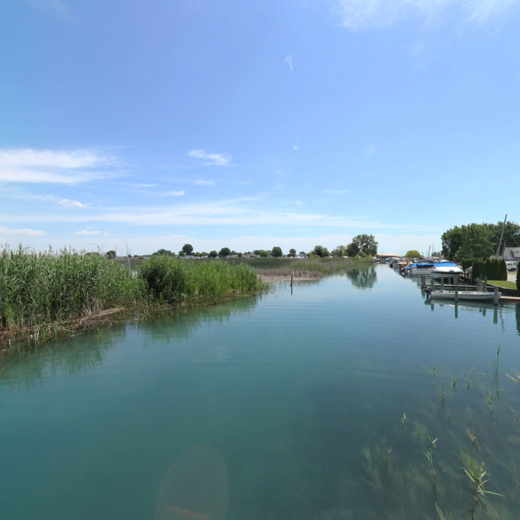
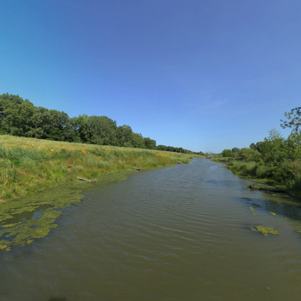
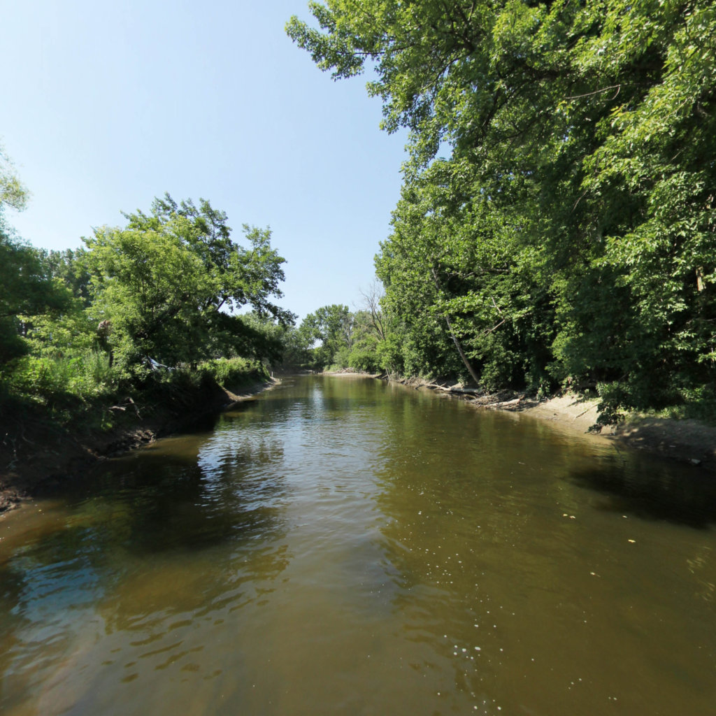
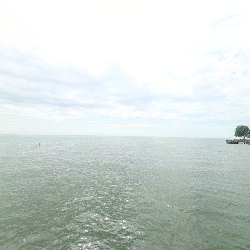
Lake St. Clair Water Trail
11
segments
71.6
miles
Project partners
Southeast Michigan Trails
About this collection
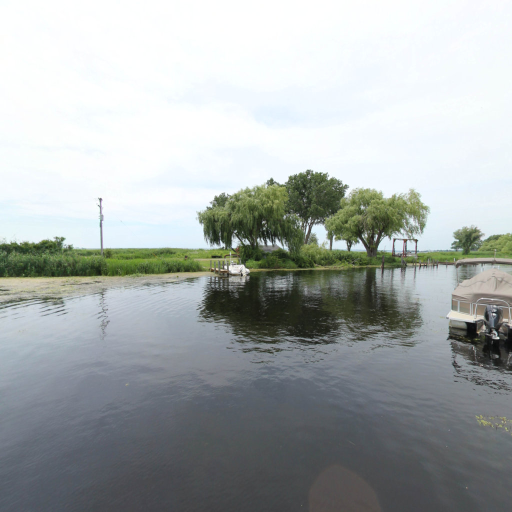
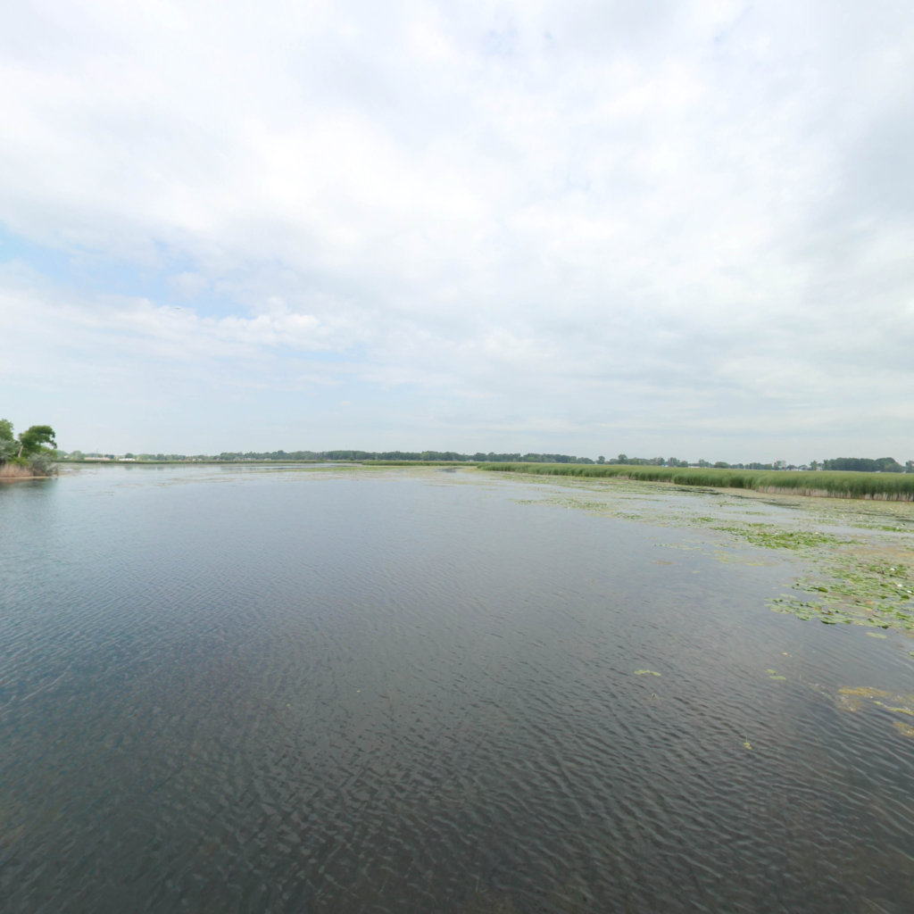
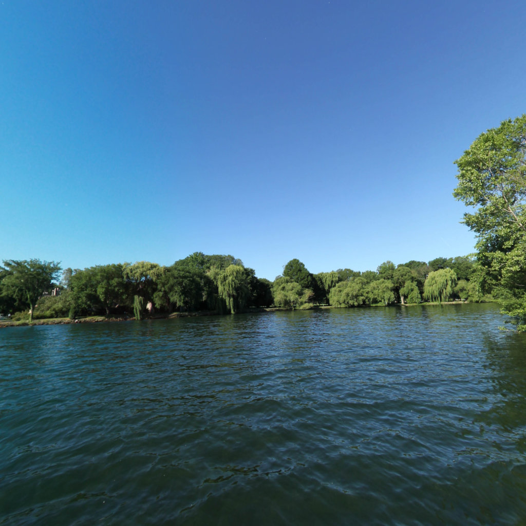
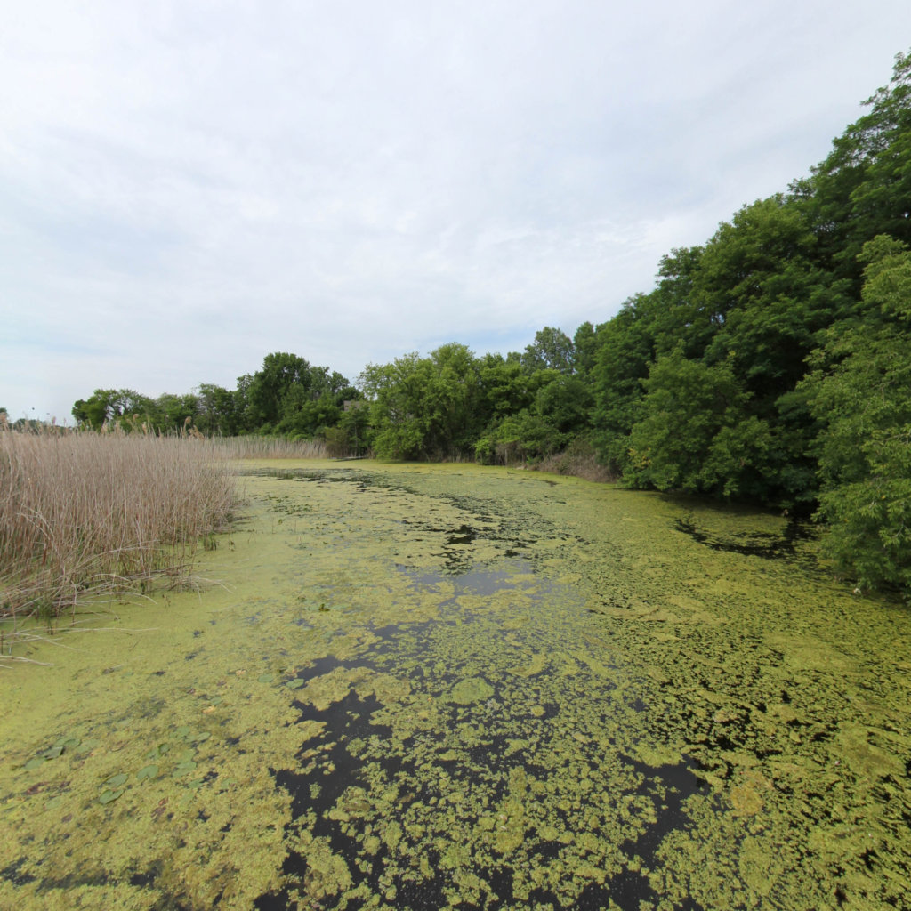
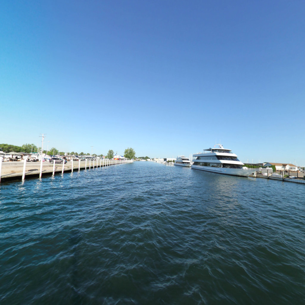
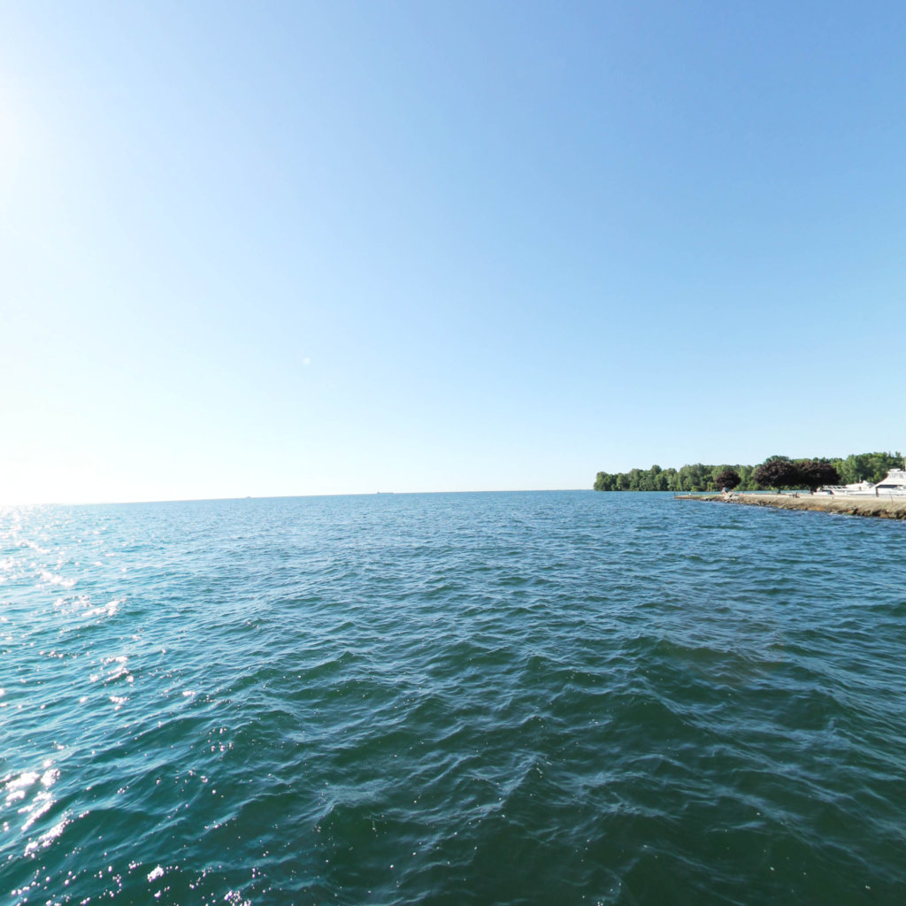
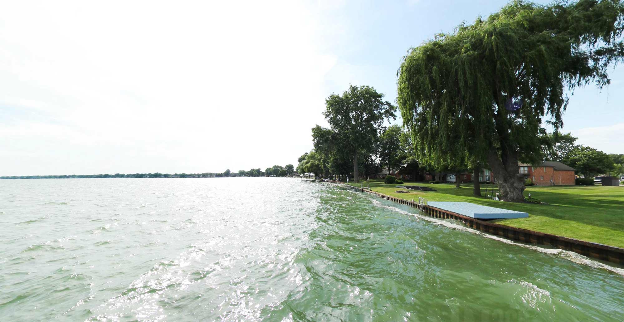
Lake St. Clair Water Trail
Traverse over 50 miles of freshwater coast along Lake St. Clair, connecting the Blueways of St. Clair to Macomb County. Stop at many points of interest from New Baltimore to the Detroit River.
Explore the map
Click any line to drop into 360° street view.
Interactive · live map
Segment index
11 segments · grouped by area
Segments
11
Blueways of St. Clair Bouvier Bay Journey
3.39 mi ·
42.633, -82.651
Clinton River Estuary
0.18 mi ·
42.58, -82.875
Clinton River Spillway
2.29 mi ·
42.559, -82.843
Clinton River water Trail_Lake St. Clair to Budd park
14.04 mi ·
42.586, -82.928
Lake St. Clair
22.8 mi ·
42.567, -82.784
Lake St. Clair Water Trail_Anchor Bay
23.55 mi ·
42.66, -82.62
Lake St. Clair Water Trail_Black Creek
1.39 mi ·
42.582, -82.795
Lake St. Clair Water Trail_Fords Cove
0.62 mi ·
42.456, -82.869
Lake St. Clair Water Trail_Salt River
2.26 mi ·
42.67, -82.774
Lake St. Clair Water Trail_Waterway Inlet
0.62 mi ·
42.467, -82.874
Lake St. Clair- to Fords Cove
0.43 mi ·
42.462, -82.871
No segments match your search. Try a trail or area name.
Browsing a large collection? The
interactive map
is the fastest way to find a specific spot.
Featured trail
Lake St. Clair Water Trail
Explore this trail →
Nearby collections & trails
More places to explore
Collection
Southeast Michigan Trails
Collection

 Southeast Michigan Trails