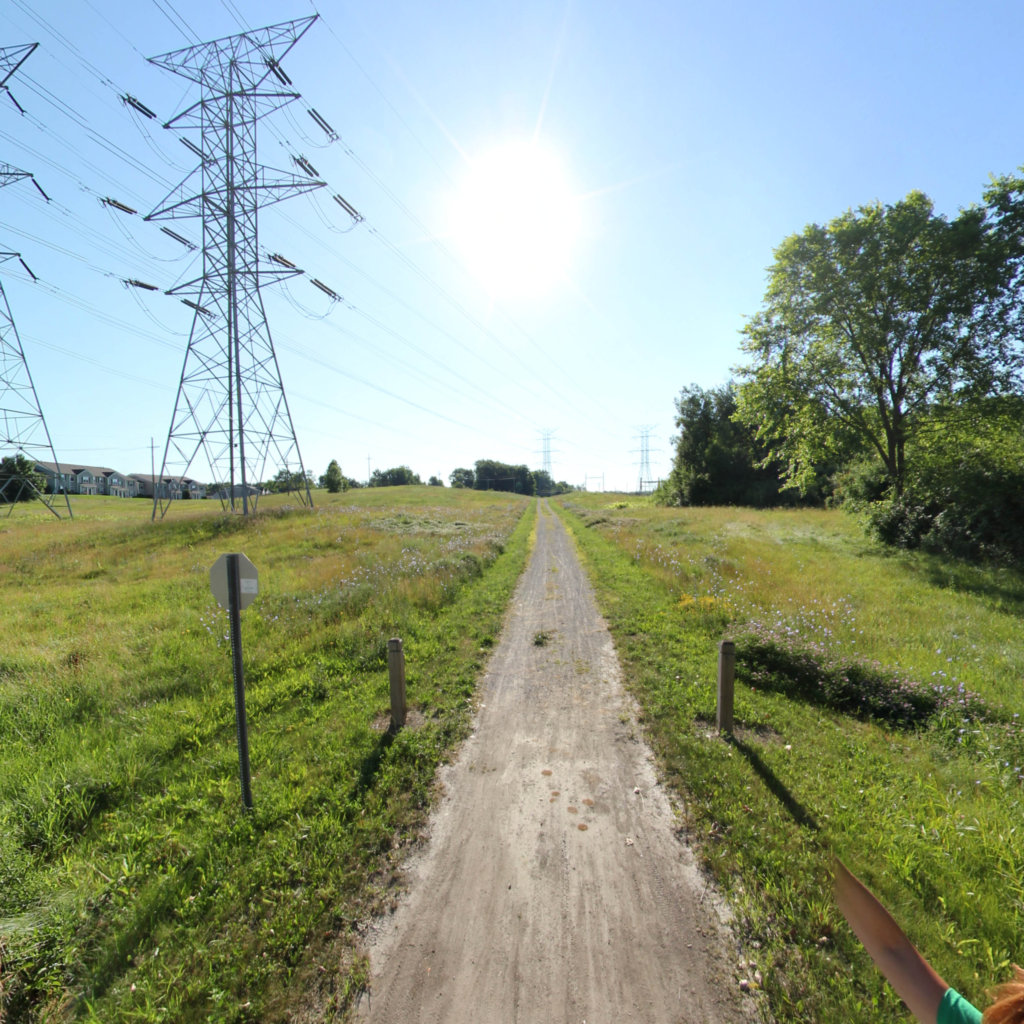
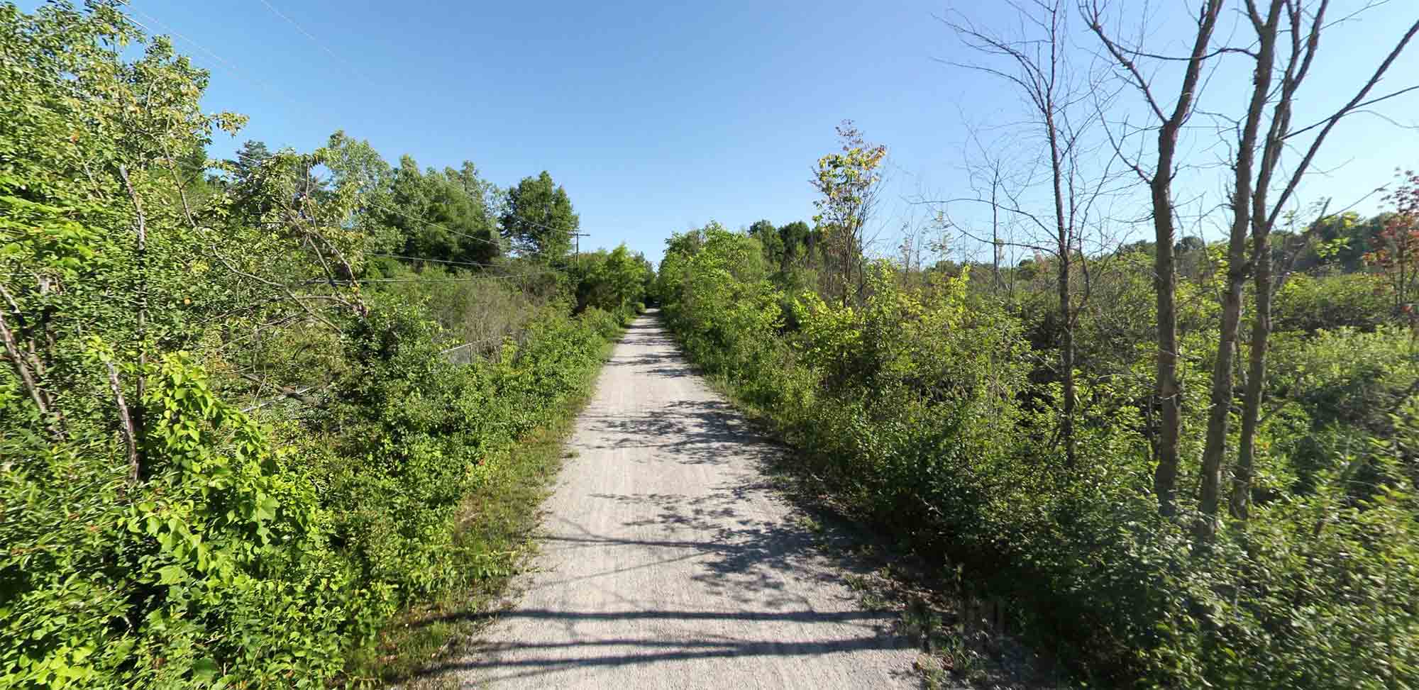
The Polly Ann Trail is a 14.2 mile long, non-motorized trail located in Oakland County Michigan in suburban Detroit.
The trail connects the communities of Orion Township, Oxford Township, the Village of Oxford, Addison Township, and the Village of Leonard. Our popular linear park utilizes the abandoned P.O. & N. railroad corridor, and transverses through some of the most beautiful untouched landscape in northern Oakland County.The Polly Ann Trail begins in Orion Township and continues northeast through Oxford, Addison, and Leonard to the Oakland-Lapeer county line at Bordman Road. Potential connections include the Paint Creek Trail, Bald Mountain Recreation Area, Macomb Orchard Trail, Clinton River Trail, County Parks, and numerous recreational and public places.The trail surface is crushed aggregate and some asphalt surface in densely populated areas. The new trail surface is monitored and compacted as necessary. A separate path for horses is planned on the north segment of the trail. Preliminary development is complete, including foot bridges and some signage.
The trail is open from dawn to dusk year round. Motorized vehicles are prohibited
 Southeast Michigan Trails