Explore
All Trails
All Maps
AI Assessment
AI Demo
Surprise Me!
Services
Use Cases
About
Contact
Latest Trails
Browse documented trails from federal, state, and conservation partners across the country.
Surprise Me!
Try:
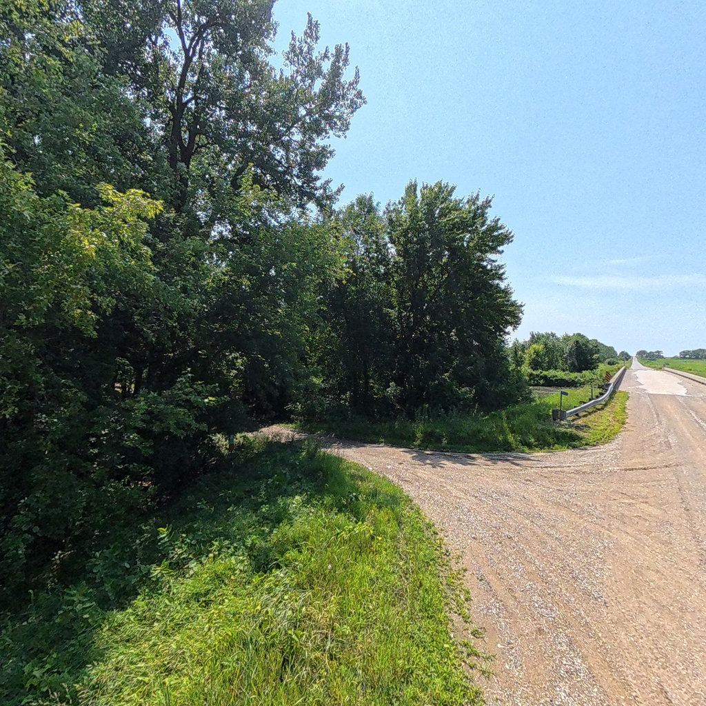
Huron River Water Trail_Flat Rock to Lake Erie
,
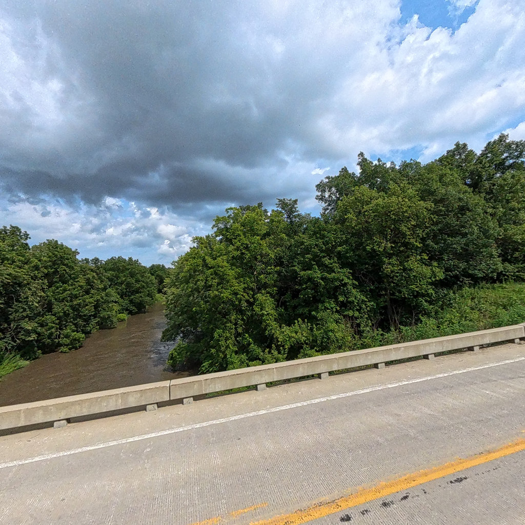
Youngs River
,
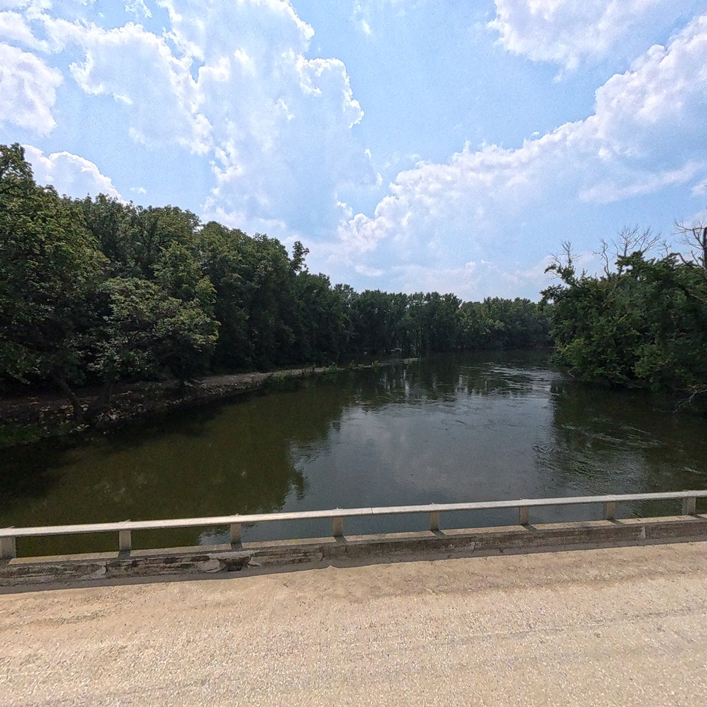
Stoney Creek to Rock Creek
Black Branch 2
City of Lebanon TN
0.28 mi
Black Branch South
City of Lebanon TN
0.22 mi
Barton Creek West
City of Lebanon TN
0.85 mi
Dry Fork Branch
City of Lebanon TN
0.92 mi
Barton Creek Main
City of Lebanon TN
1.09 mi
Sinking Creek
City of Lebanon TN
0.95 mi
Barton Creek West
City of Lebanon TN
4.63 mi
Sinking Creek East
City of Lebanon TN
7.58 mi
Black Branch
City of Lebanon TN
1.01 mi
Main Office
Alice Ferguson Foundation
0.08 mi
Environmental Center
Alice Ferguson Foundation
0.07 mi
Upper Accokeek Creek
Alice Ferguson Foundation
0.05 mi
Accokeek Creek
Alice Ferguson Foundation
0.29 mi
Steubenville
Lewis & Clark National Historic Trail
27.29 mi
Sisterville to St Marys
Ohio River
31.13 mi
New Haven to Point Pleasant
Lewis & Clark National Historic Trail
51.68 mi
Wellsville
Lewis & Clark National Historic Trail
15.51 mi
Martinsville
Lewis & Clark National Historic Trail
8.32 mi
Kanawha River
Lewis & Clark National Historic Trail
39.23 mi
Apple Grove to Ashland KY
Lewis & Clark National Historic Trail
47.13 mi
Yellow Trail
Tiger Mountain RV Camping & Cabins (Virtual Tour)
0.25 mi
Greken Drive
Tiger Mountain RV Camping & Cabins (Virtual Tour)
0.44 mi
Tiger Mountain Full Hook-Up Sites #2-#11
Tiger Mountain RV Camping & Cabins (Virtual Tour)
0.04 mi
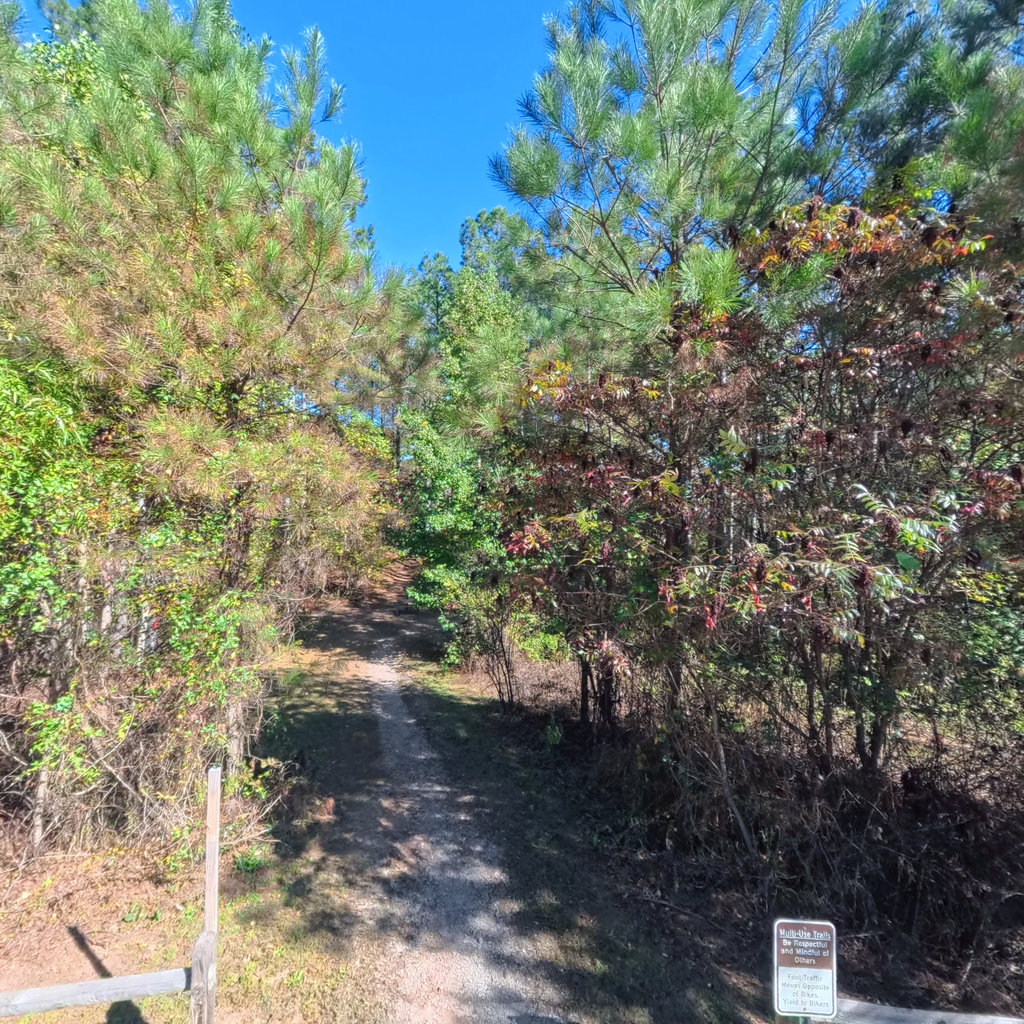
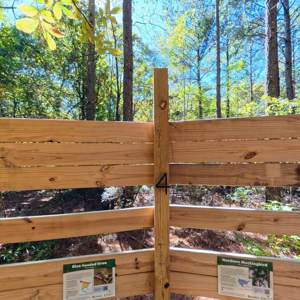
Apiary Meadow Trail to Bird Observatory #3
Talking Rock Nature Park
0.32 mi
Hub Parking
Talking Rock Nature Park
0.08 mi
Jon's Trail Access (off Carnes Mill Rd)
Talking Rock Nature Park
0.02 mi
Blue Trail to Bird Observatory #2
Talking Rock Nature Park
0.26 mi
Hike to Bird Observatory #4
Talking Rock Nature Park
0.22 mi
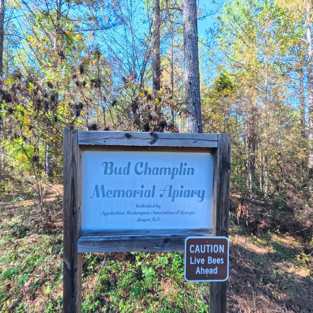
Apiary Meadow
Talking Rock Nature Park
0.04 mi
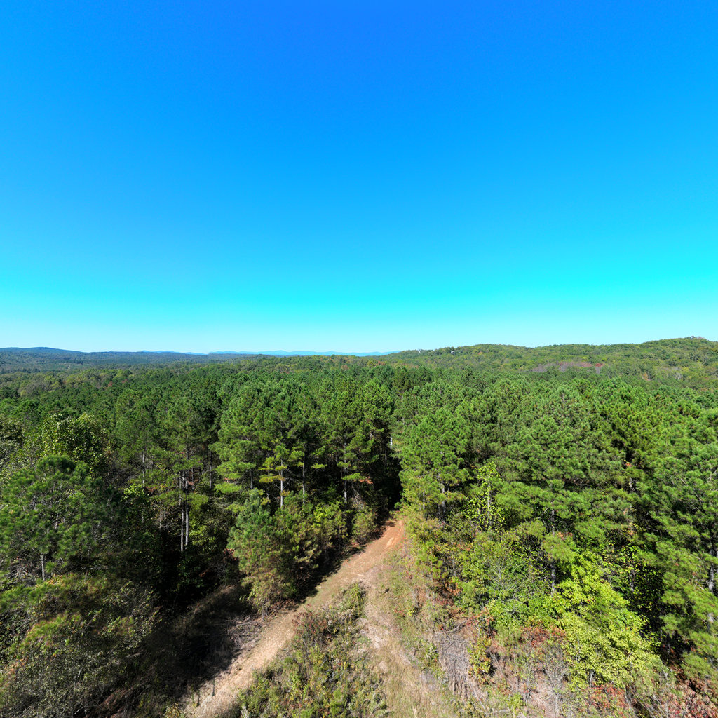
Bird Observatory #3 (Aerial View)
Talking Rock Nature Park
0.04 mi
Hub Parking (Aerial View)
Talking Rock Nature Park
0 mi
South Fraser Access to Boone Waterworks Upper
Des Moines River
5.8 mi
Sycamore Access to Prospect Park
Des Moines River
5.66 mi
Des Moines River Dam to Becker Access
Des Moines River
16.38 mi
Lentsch Access to Cunningham Access
Des Moines River
3.25 mi
Lehigh North to Deception Hollow
Des Moines River
3.45 mi
Henderson Landing to Lehigh North
Des Moines River
11.24 mi
City Access to Henderson Landing
Des Moines River
8.56 mi
Deception Hollow to Boone River Confluence
Des Moines River
8.75 mi
Boone Forks to Skillet Creek Access
Des Moines River
6.68 mi
Livermore East Fork Access to Frank A Gotch Park Confluence
Des Moines River
20.46 mi
Ledges Access to Highway 210 Access
Des Moines River
11.16 mi
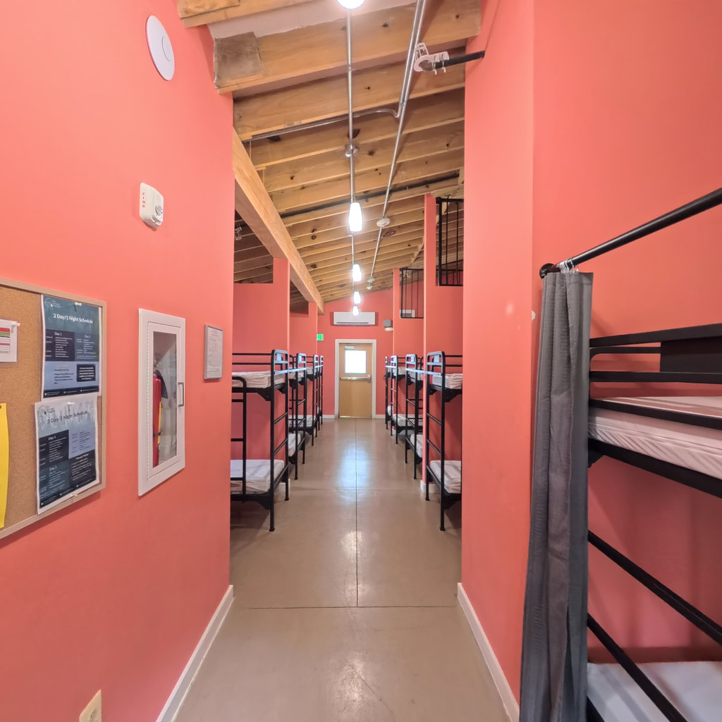
Bunkhouse
Alice Ferguson Foundation
0.02 mi
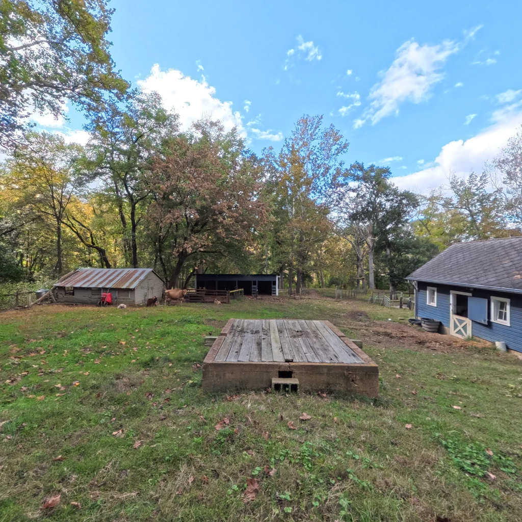
Barnyard
Alice Ferguson Foundation
0 mi
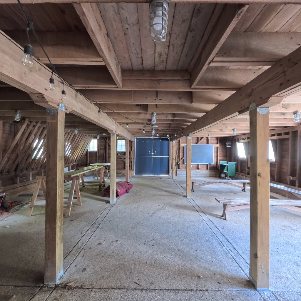
Barn
Alice Ferguson Foundation
0.01 mi
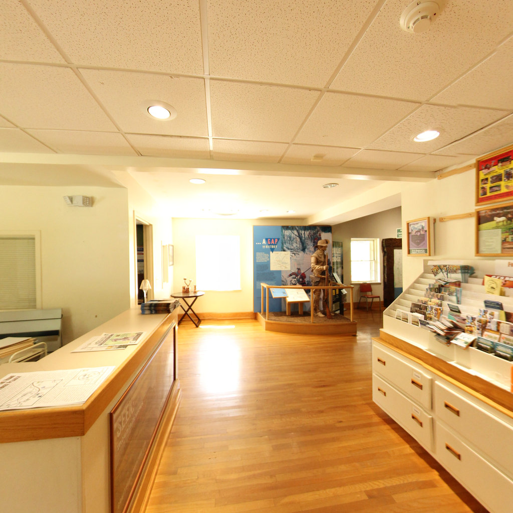
Env Center Interior
Alice Ferguson Foundation
0.01 mi
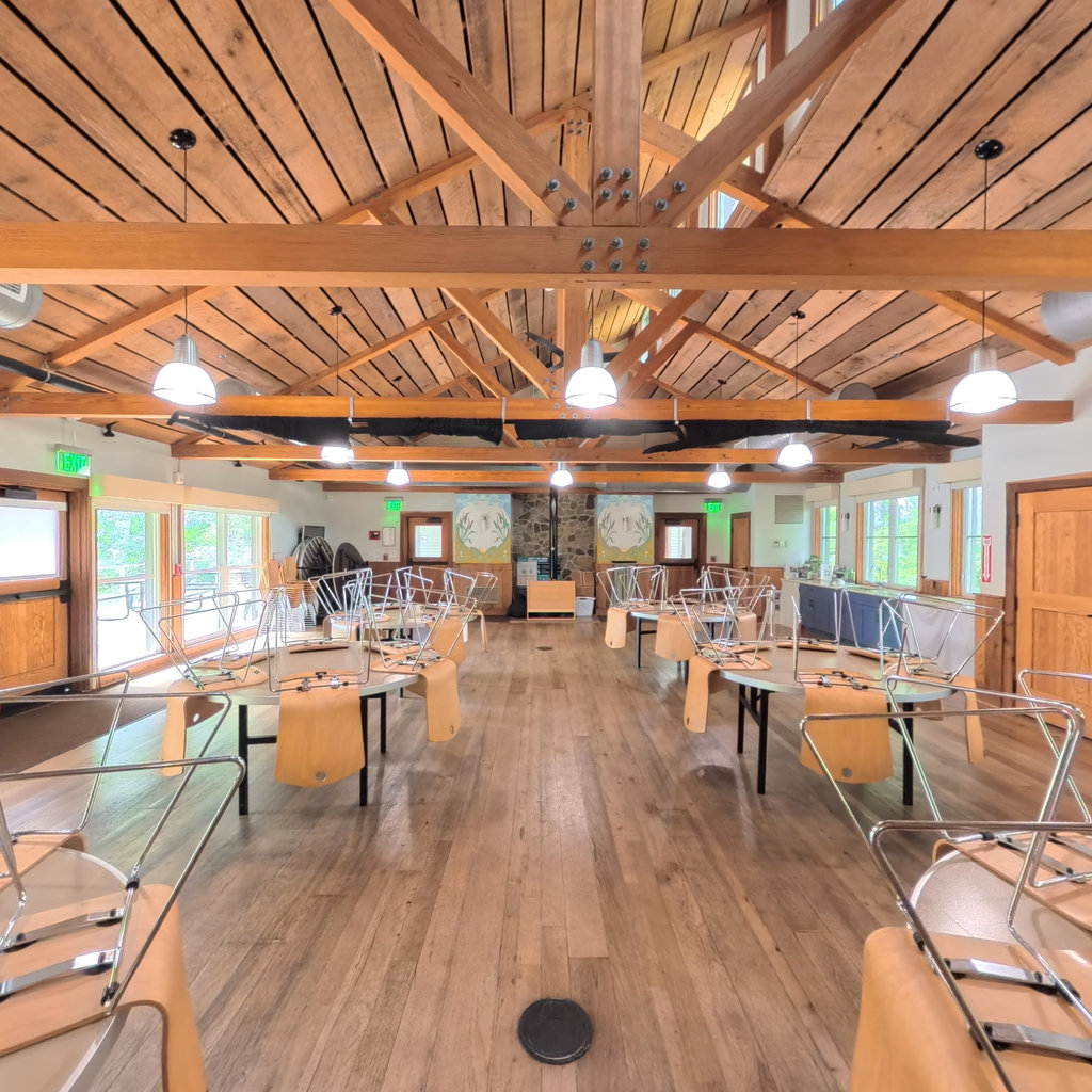
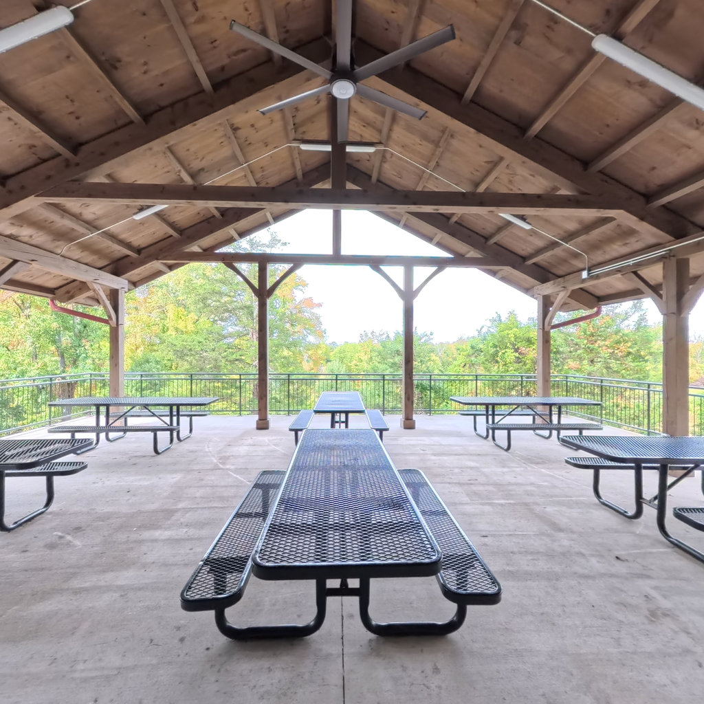
Pavilion
Alice Ferguson Foundation
0 mi
Tweetsie Trail
Overmountain Victory Trail
0.52 mi
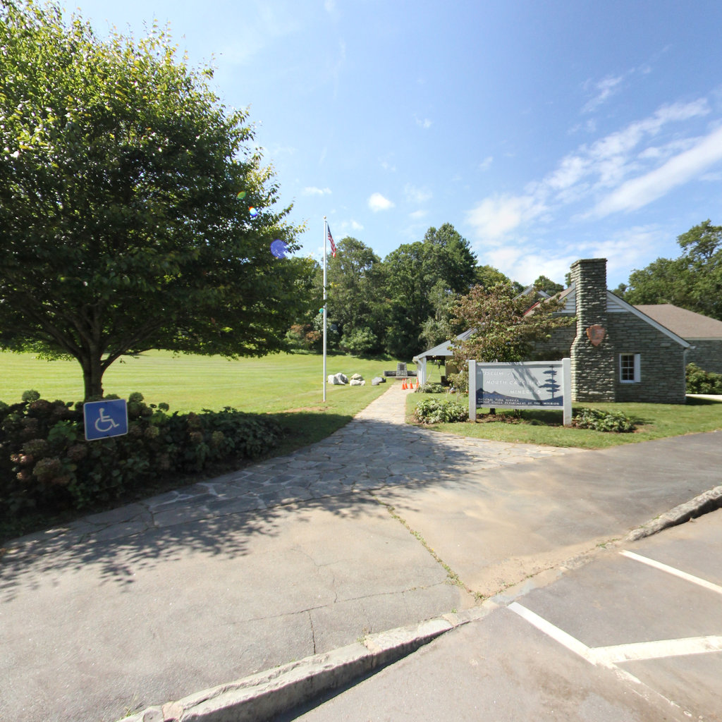
Mitchel County Visitor Center
Overmountain Victory Trail
0.04 mi
Gillespie Gap Visitors Center
Overmountain Victory Trail
0.03 mi
Abingdon Urban Pathway
Overmountain Victory Trail
0.12 mi
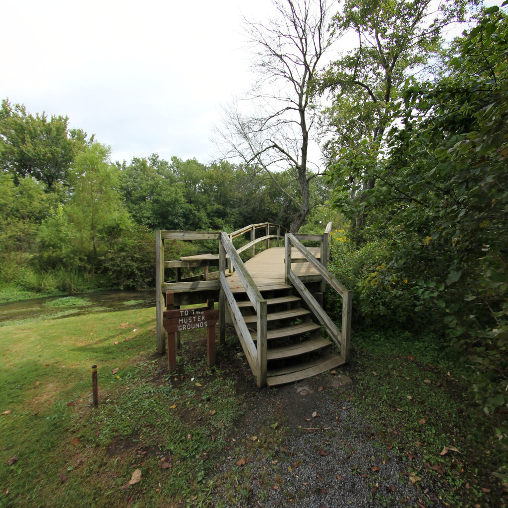
Muster Grounds Trail
Overmountain Victory Trail
0.55 mi
Oregon Coast Trail
Lewis & Clark National Historic Trail
1.65 mi
Verendrye Site
Lewis & Clark National Historic Trail
0.1 mi
Roan Mountain Community Park
Overmountain Victory Trail
0.54 mi
Tom Gray Trail
Overmountain Victory Trail
0.54 mi
Peg Leg Mine Trail
Overmountain Victory Trail
0.08 mi
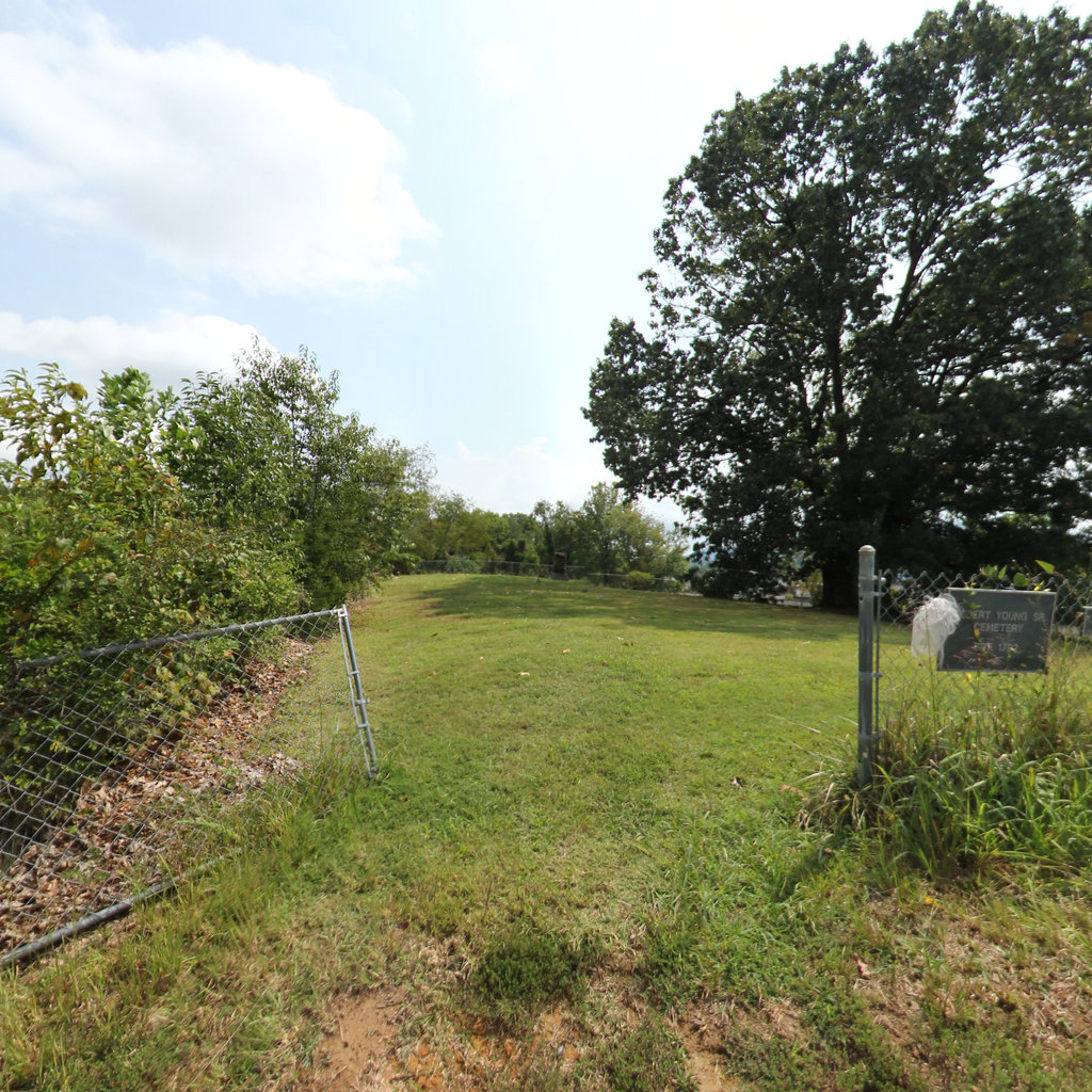
Robert Youngs Gravesite
Overmountain Victory Trail
0.01 mi
Robert Youngs Cabin
Overmountain Victory Trail
0.04 mi
Rocky Mount Historic Site Trail
Overmountain Victory Trail
0.17 mi
Rocky Mount State Historic Site
Overmountain Victory Trail
0.05 mi
Jarrett Cemetery
Overmountain Victory Trail
0.17 mi
Sycamore Shoals Patriot's Path
Overmountain Victory Trail
0.64 mi
Patriot's Path
Overmountain Victory Trail
0.08 mi
Sycamore Shoals State Historic Area
Overmountain Victory Trail
0.07 mi
Elizabethton Linear Trail
Overmountain Victory Trail
1.2 mi
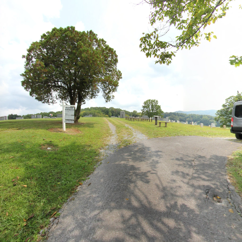
Patton-Simmons Cemetery
Overmountain Victory Trail
0.04 mi
Table Rock Overlook
Overmountain Victory Trail
0.03 mi
Riverside Park Trail
Overmountain Victory Trail
0.48 mi
Quaker Meadows Cemetery
Overmountain Victory Trail
0.07 mi
Pemberton Oak
Overmountain Victory Trail
0.04 mi
Elm Hollow Trail
Overmountain Victory Trail
1.25 mi
Paddy's Creek Trail
Overmountain Victory Trail
1.23 mi
The Loops Overlook
Overmountain Victory Trail
0.03 mi
Joseph McDowells House
Overmountain Victory Trail
0.14 mi
Willows Access
Des Moines River
0.33 mi
Veterans Park
Des Moines River
0.04 mi
Tourist Park Access
Des Moines River
0.07 mi
Summer Bridge Access
Des Moines River
0.12 mi
South River District Access
Des Moines River
0.13 mi
Seneca Access
Des Moines River
0.31 mi
Rutland Utility Dam
Des Moines River
0.27 mi
Estherville Rock Garden
Des Moines River
0.06 mi
River Runner Access
Des Moines River
0.25 mi
Rasch Access
Des Moines River
0.08 mi
Plum Creek Dam
Des Moines River
0.08 mi
Phinney Park
Des Moines River
0.3 mi
Peterson Access
Des Moines River
0.06 mi
Patterson Recreation and Wildlife Area
Des Moines River
0.2 mi
North Trailhead
Des Moines River
0.07 mi
Volunteer Park
Des Moines River
0.09 mi
Mulroney Recreation Area
Des Moines River
0.33 mi
Lizard Creek Headwaters
Des Moines River
0.03 mi
Livermore East Fork Access
Des Moines River
0.09 mi
Lentsch Access
Des Moines River
0.08 mi
Lammer's Landing
Des Moines River
0.17 mi
Lake Nokomis Boat Ramp
Des Moines River
0.12 mi
Joe Sheldon Park
Des Moines River
0.13 mi
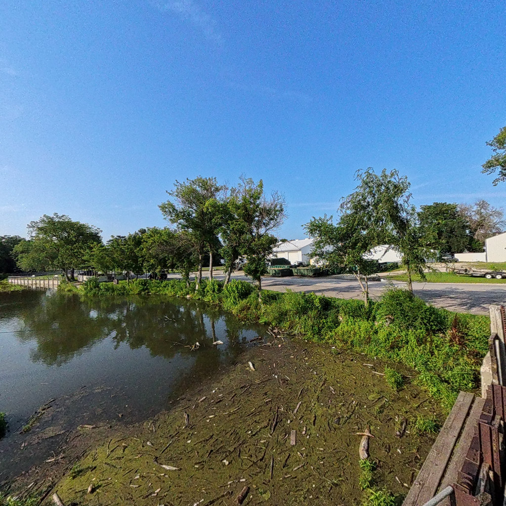
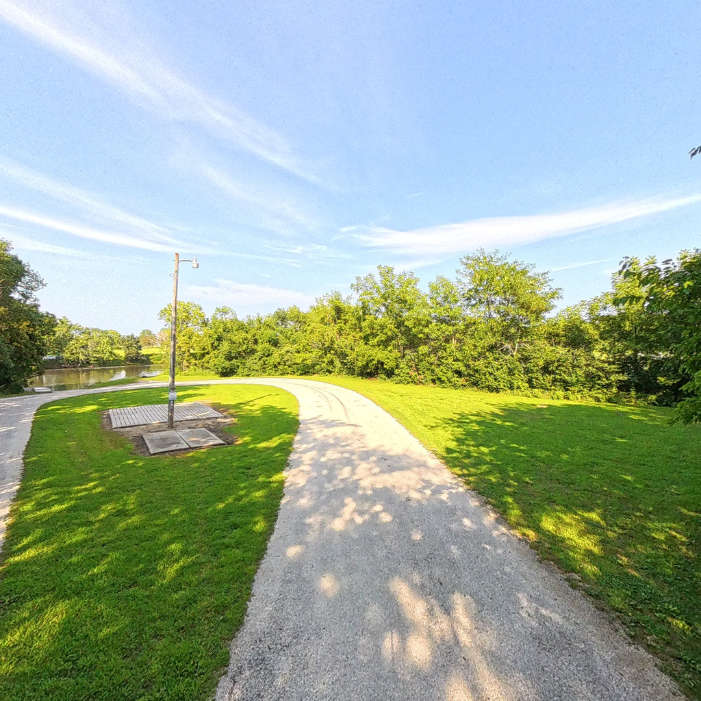
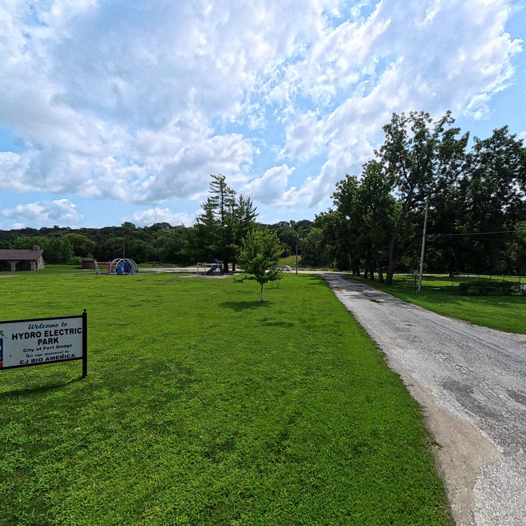
Hydro-electric Park
Des Moines River
0.06 mi
Hydro-electric Park 4th Ave
Des Moines River
0.23 mi
Loading more trails...