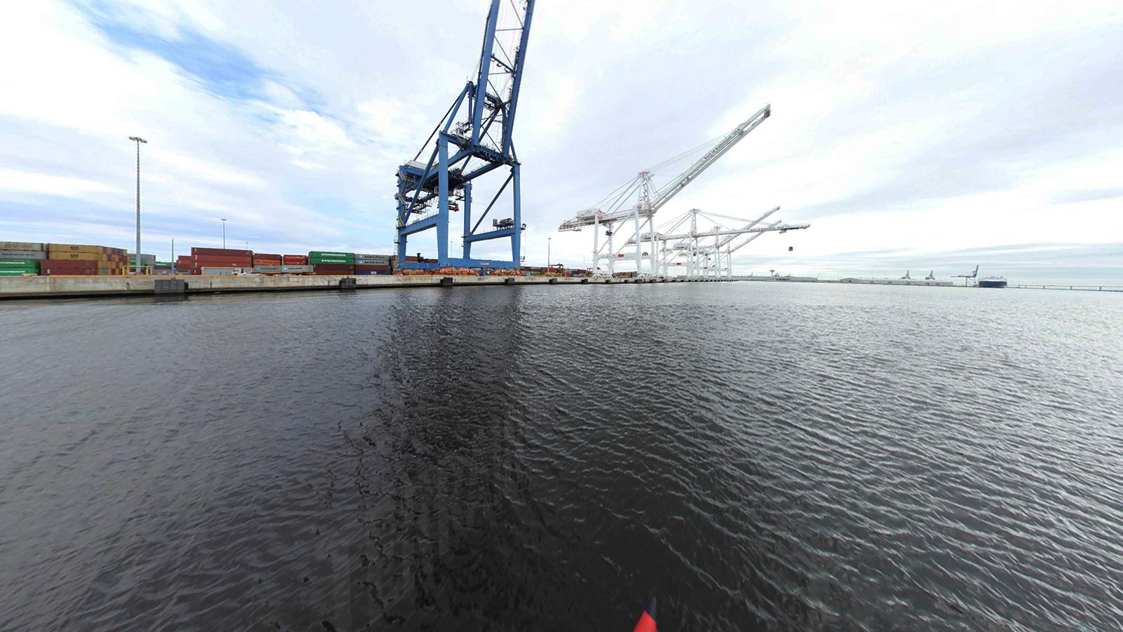
Baltimore & Patapsco River Ports Terrain360 Map Collection

Port of Baltimore

The Maryland Department of Transportation Maryland Port Administration (MDOT MPA), which oversees the Port of Baltimore’s public marine terminals, has moved forward in recent years with many new security initiatives and enhancements including closed circuit television, cyber security, and stronger access control technologies. 

Bear Creek (19.2 mi)

39.230012, -76.507917
Bear Creek scene image looking forward

Fort Howard (4.16 mi)

39.204393, -76.46093
Fort Howard scene image looking forward

Fort McHenry (0.2 mi)

39.265421, -76.579723
Fort McHenry scene image looking forward

Patapsco River (1.57 mi)

39.228863, -76.62682
Patapsco River scene image looking forward

Stoney Creek (10 mi)

39.172622, -76.516572
Stoney Creek scene image looking forward

Explore the Map

Click on any line in the map to explore the location in street view.

Patapsco Marine Terminals 1

Making the world a better place

Conservation Partner

401 East Pratt Street Baltimore, MD 21202
(800) 638-7519