Pocahontas State Park is a state park located in Chesterfield, Virginia, United States, not far from the state capital of Richmond. Deep in the heart of a thick forest, Pocahontas State Park offers
a variety of outdoor activities, including biking, hiking, picnicking, swimming, camping and family-friendly nature programs. The park is
one of Virginia’s more popular state parks and its largest with
7,950 acres. Swift Creek Lake and Beaver Lake give visitors a chance for excellent wildlife viewing and fishing. Rowboats, paddleboats, kayaks, paddleboards and canoes may be rented at the boathouse on the 225-acre Swift Creek Lake during the summer. Two of the park's three lakes offer fishing for crappie, largemouth bass, chain pickerel, warmouth bass, bluegill and catfish.
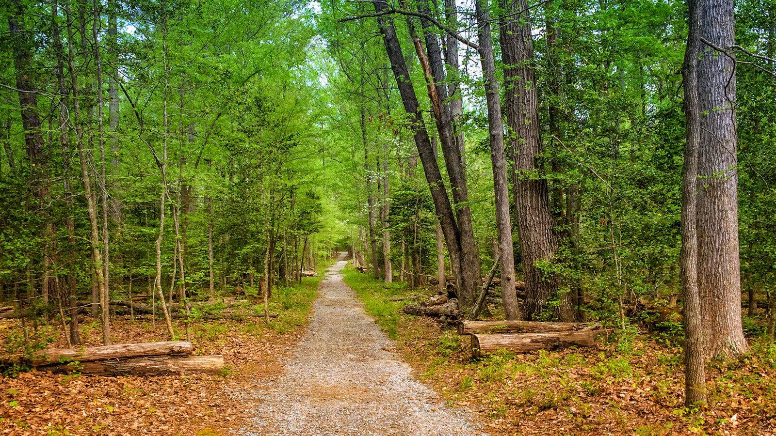
The park has
more than 80 miles of trails for hiking, bicycling and horseback riding. The park offers five miles of hiking trails around Beaver Lake, a five mile bicycle trail and a trail accessible for persons with disabilities. In addition, numerous trails accessible to hikers and bicyclists wind through the surrounding woodlands. There are also approximately 10 miles of bridle trails. The park also has several single-track
mountain bike trails ranging from easy to expert levels.
The Heritage Amphitheater holds up to 4,000 and is perfect for concerts, stage performances and other large gatherings. The outdoor amphitheater has bench seating for up to 350, and additional spectators take seats on a gentle, grassy slope.
The Civilian Conservation Corps Museum, dedicated to the Depression-era workers who helped build the state park system, is one of a handful in the nation.
Source:
Dcr.virginia.gov,
Visitrichmondva.com/ Photo Credit:
Nealysonwheels.com