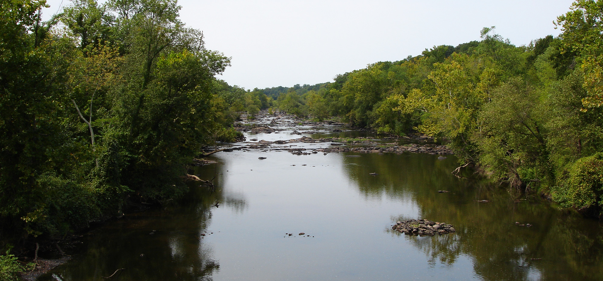
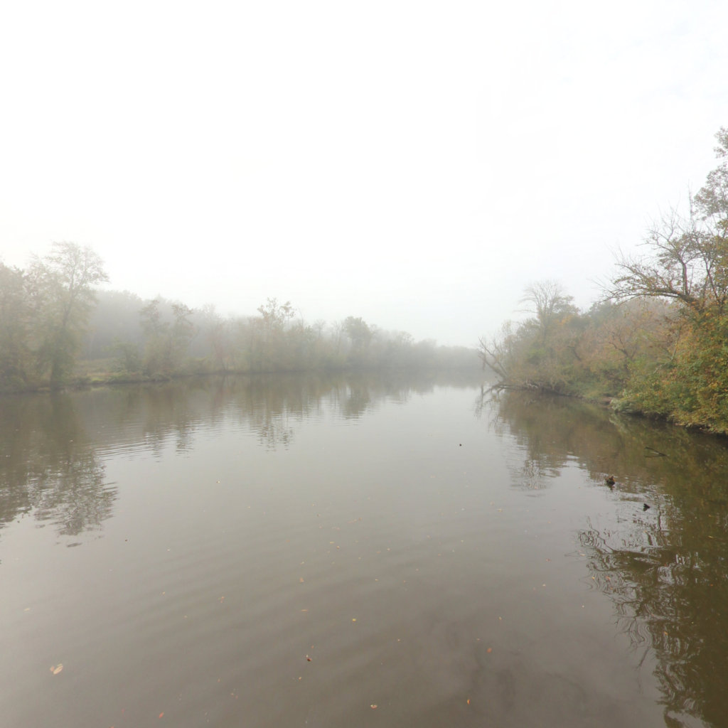
The Appomattox River rises in the Piedmont of northeastern Appomattox County, approximately 10 miles (16 km) northeast of the town of Appomattox. It flows generally southeast through the Appomattox-Buckingham State Forest to Farmville. From Farmville it flows in a large arc northeast then southeast across the coastal plain, passing southwest of Richmond and passing through the Lake Chesdin reservoir. It flows through Petersburg, its head of navigation, through the Tri-cities area, then joins the James River from the west at City Point in Hopewell.
Explore the map
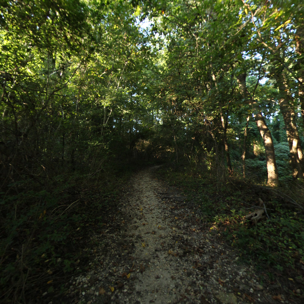
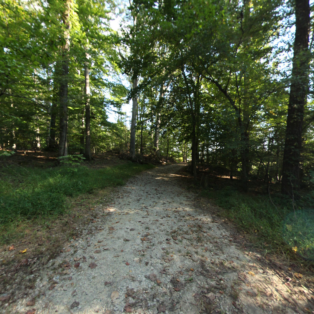
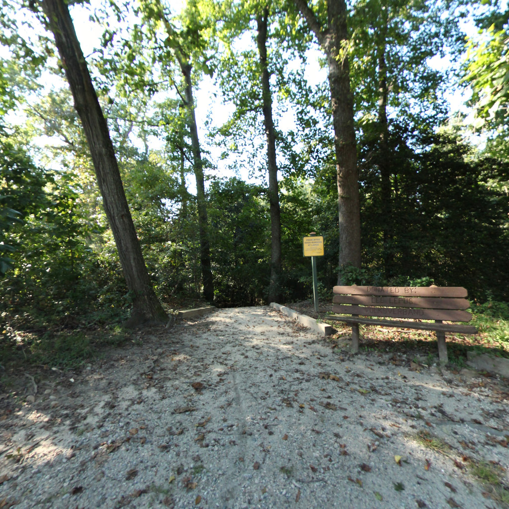
Click anywhere on the line to drop into that spot in 360°.