Map collection
· Ponderosa canyons, reservoirs and the Tower
Black Hills & Devils Tower
Ponderosa canyons, reservoirs and the Tower
6
segments
18.5
miles
About this collection
Black Hills & Devils Tower
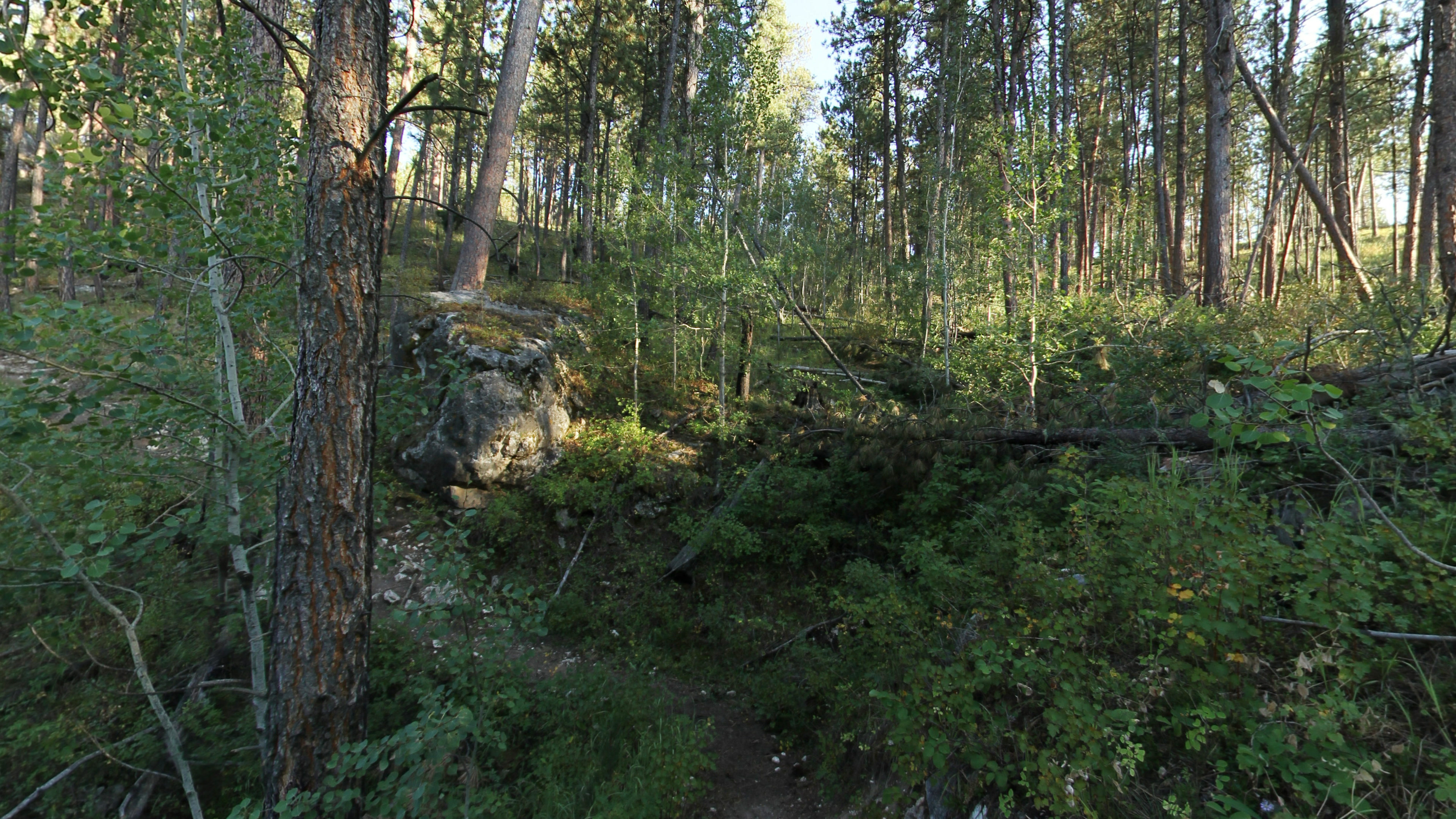
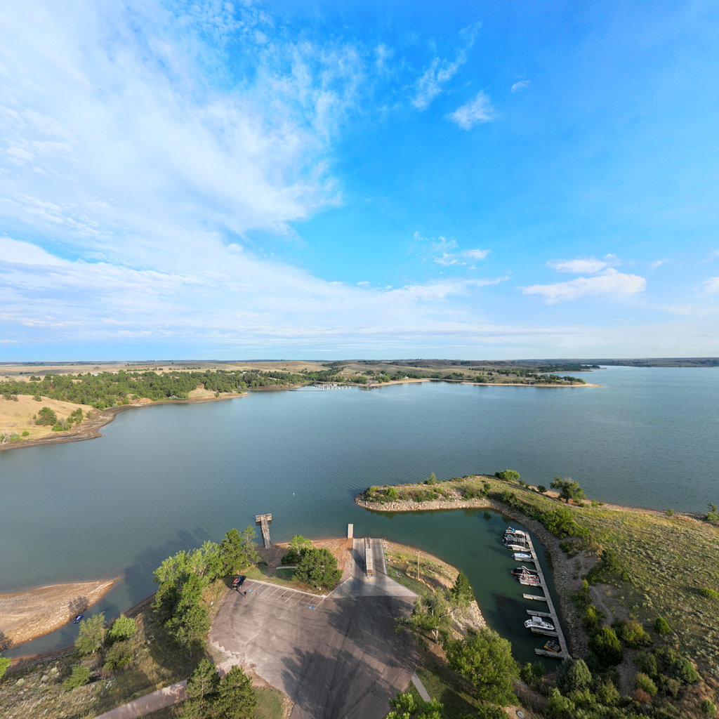
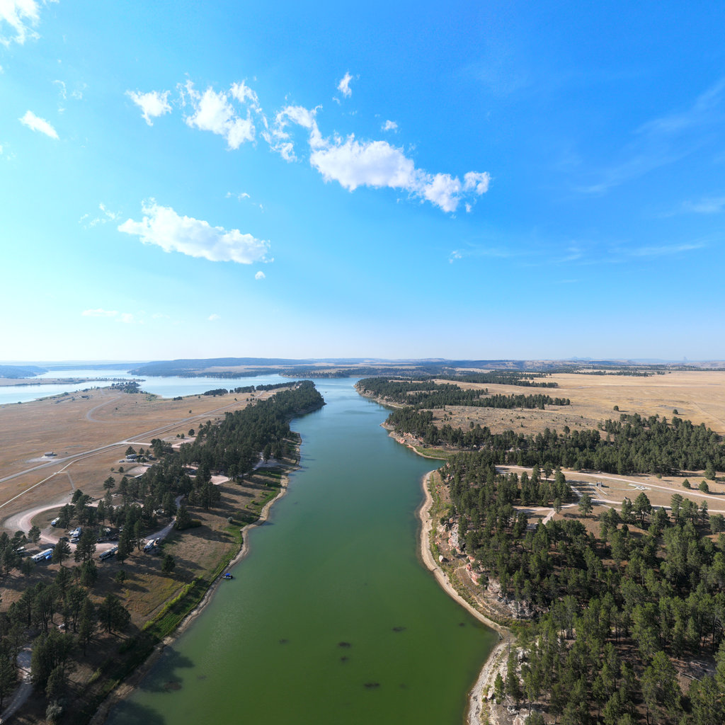
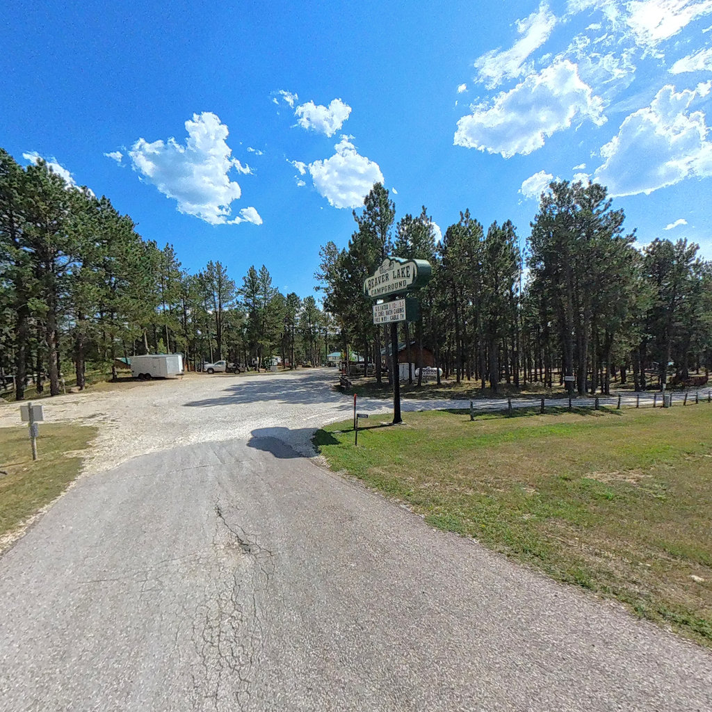
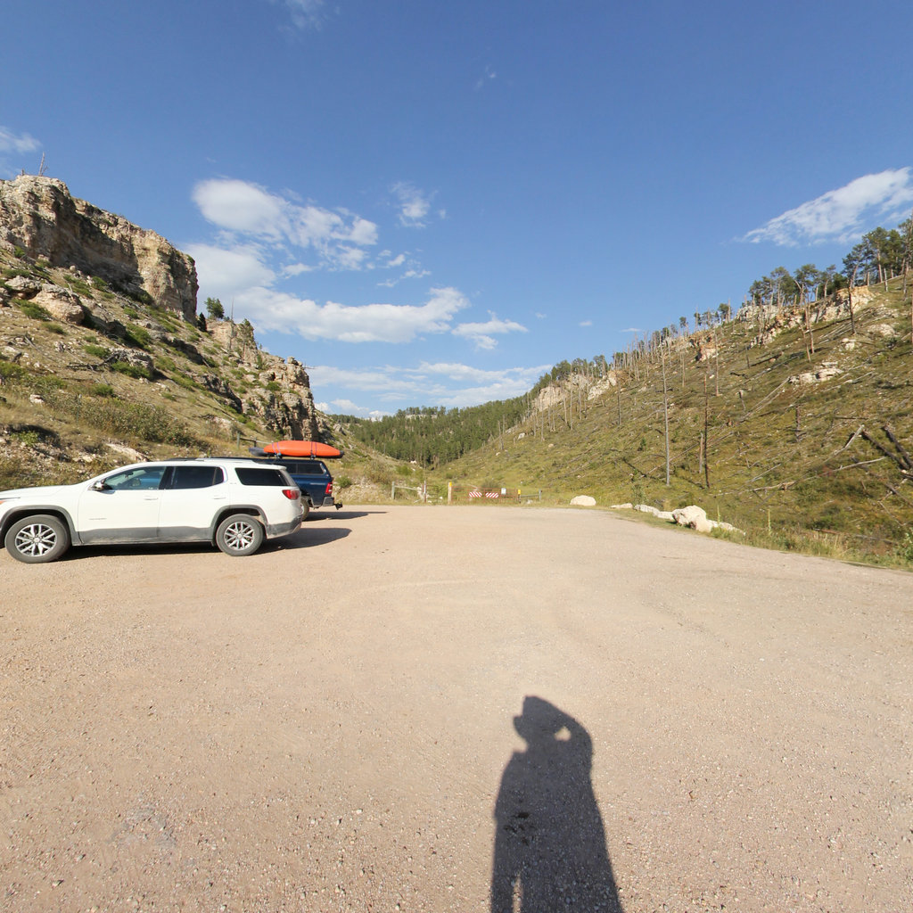
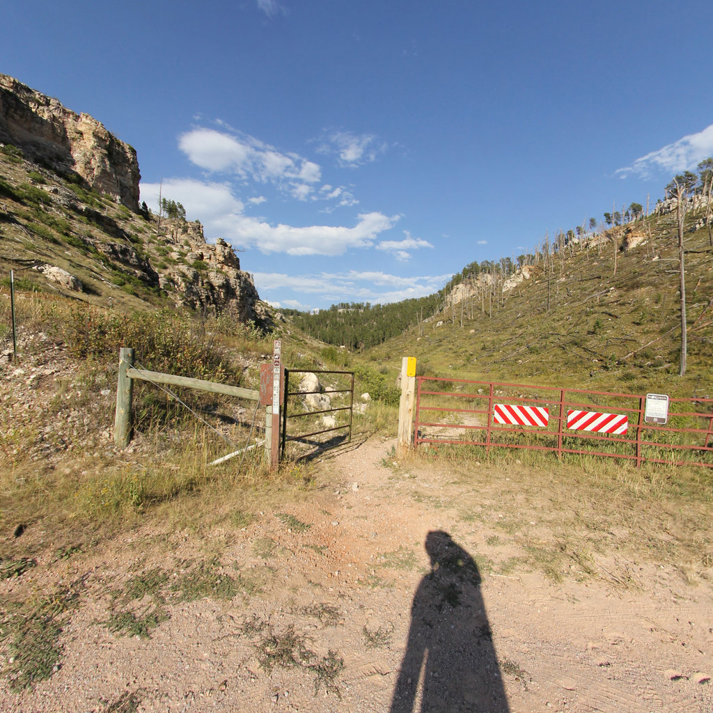
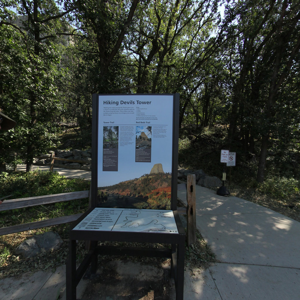
The Black Hills rise out of the northern plains as an island of ponderosa pine and limestone canyon. This map collects ground-level imagery from Hell Canyon in the southern Hills, the reservoirs at Angostura and Beaver Lake, and Devils Tower and Keyhole across the Wyoming line.
Explore the map
Click anywhere on the line to drop into that spot in 360°.